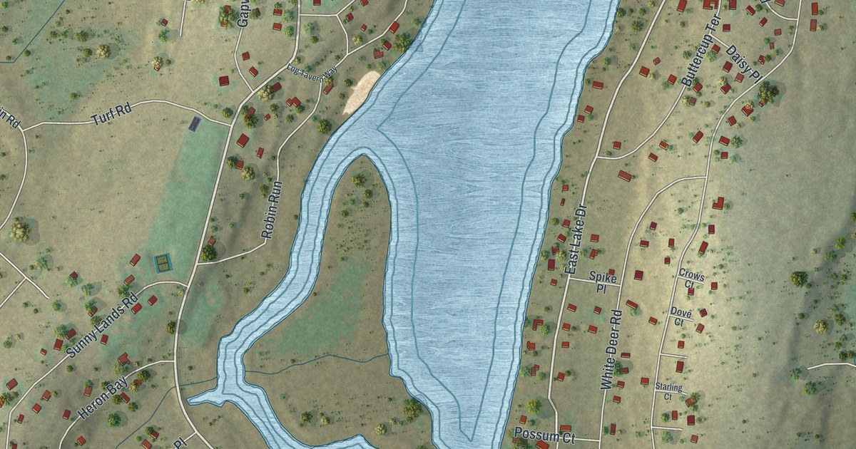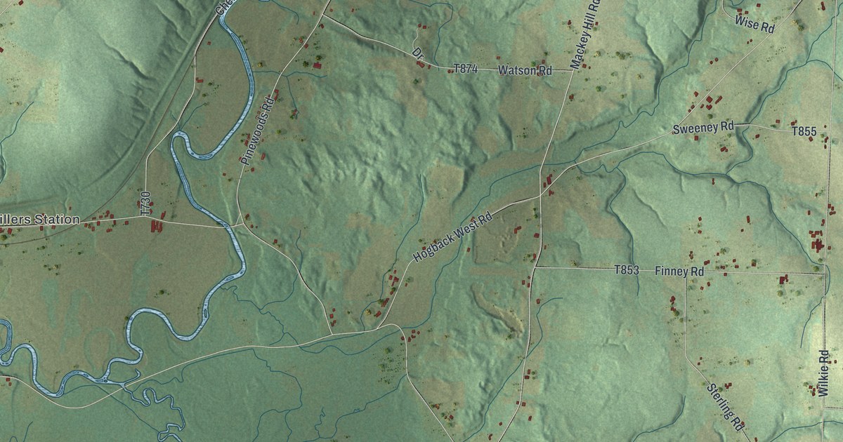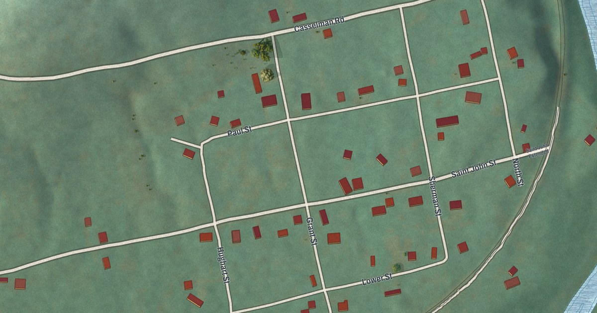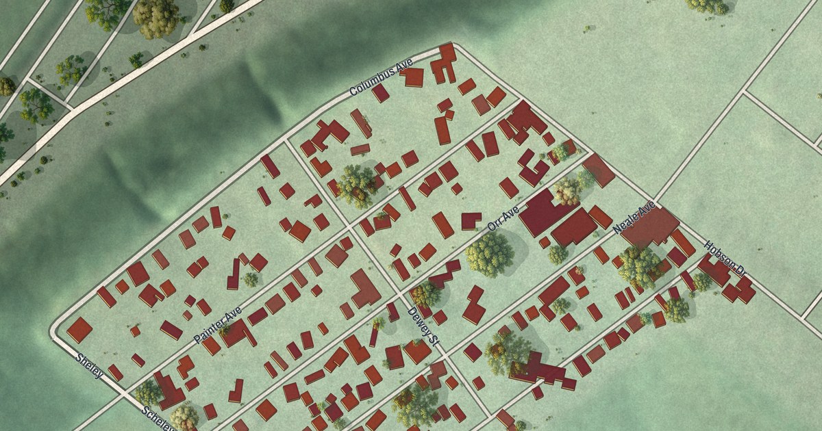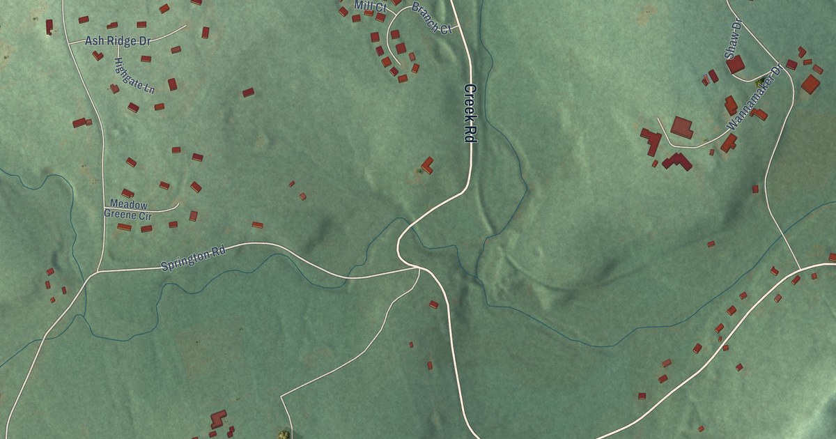
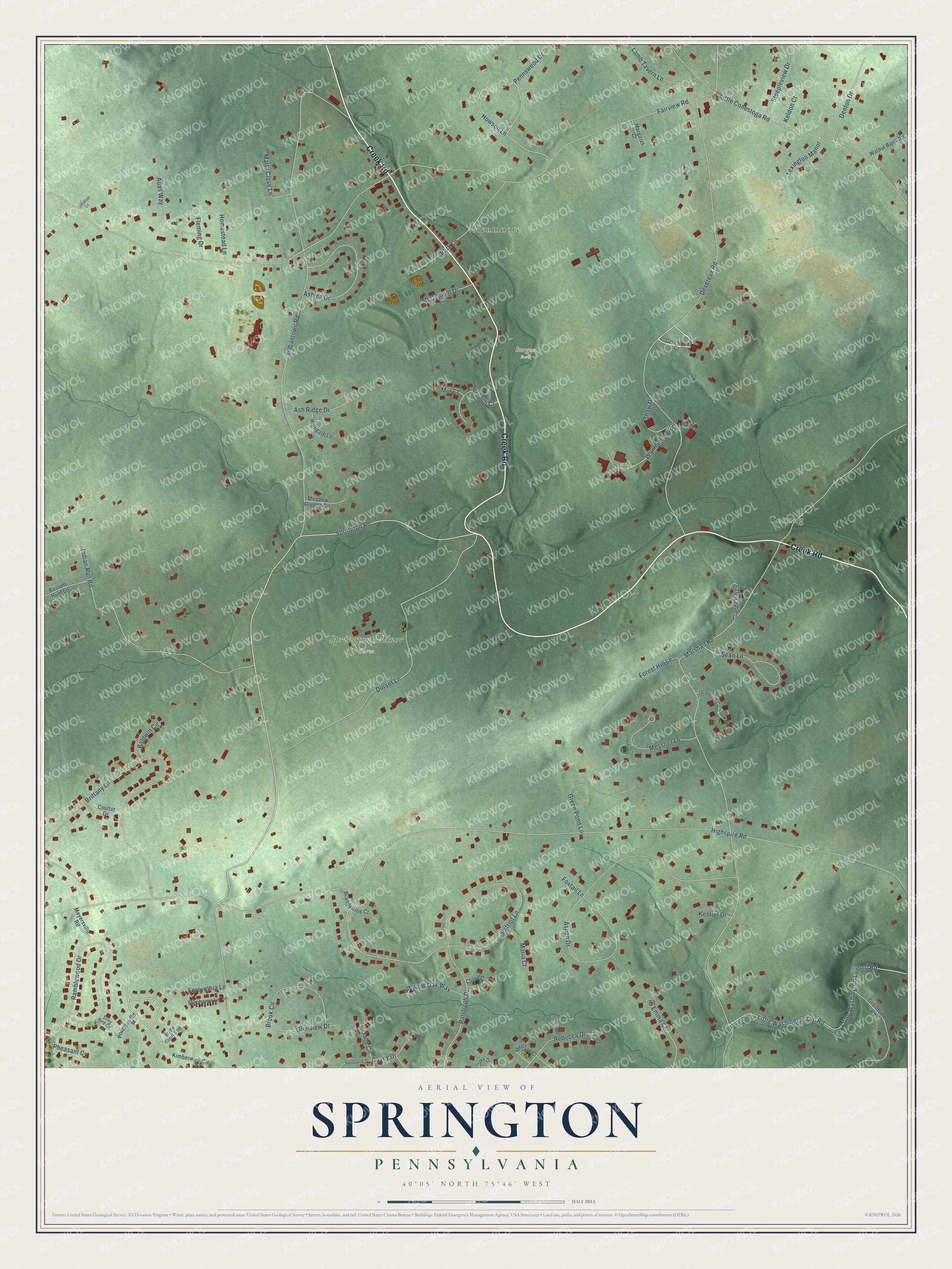
This beautifully detailed map of Springton, Pennsylvania was created in 2026 using aerial imagery combined with modern topographical, census, street and landmark data. It’s a one-of-a-kind view of Springton that combines accurate data with a vintage aesthetic. The map shows every building in its true location, many of the roads carry their names, and the shaded topographic relief shows the shape of the land.
Explore an aerial view of Springton, Pennsylvania
On the map you’ll find Glenmoore, Cornog, Burgess Park, and Springton Manor Farm, along with Creek Road, Devereux Road, Springton Road, Highspire Road, Fairview Road, Marshall Road, Indiantown Road, Brittany Lane, and more. If you look closely you can even find your house accurately drawn in its correct location. Zoom in on the preview to look for yours.
Did You Know?
From Internet Archive: "Rutter, built Isabella Furnace (so named in honor of Henry's wife) on a branch of the creek above mentioned, and four miles northwest of Springton."
Springton is a community in Chester County.
Take a closer look at the Springton map
Names on this map
These names are printed on this map.
Places: Glenmoore, Cornog, Burgess Park and Springton Manor Farm.
Streets and roads: Creek Road, Devereux Road, Springton Road, Highspire Road, Fairview Road, Marshall Road, Indiantown Road, Brittany Lane, Patriot Lane, Aspen Drive, Dorset Lane, Indian Run Road.
More street names, A to Z
Adas Way, Ashlea Drive, Ash Ridge Drive, Baldwin Circle, Bassett Hunt Lane, Branch Court, Brandywine Court, Bridle Court East, Brook Circle, Casey Drive, Chloe Ci, Coltsfoot Lane, Comstock Drive, Coulter Drive, Denton Drive, Emma Court, Fleming Drive, Forest Hill Lane, Forsynthia Lane, Foxtail Lane, Gabe Circle, Glenview Drive, Grandview Road, Granite Hill Lane, Green Pond Lane, Highgate Lane, Homestead Lane, Howson Lane, Jacqueline Circle, Jake Court, Keldon Court, Kestrel Drive, Kimberwick Circle, Lamb Tavern Lane, Lexington Manor, Little Conestoga Road, Little Washington Lyndell Road, Little Washington Lyn Road, Margaret Court, Maria Court, Marty Close Lane, McConnell Drive, Meadow Greene Circle, Meghan Court, Messner Lane, Meyersville Road, Mill Court, Park Lane, Pennswick Drive, Pennswood Drive, Pheasant Cv, Post Run Road, Ramblewood Drive, Randolph Drive, Rebecca Drive, Sean Lane, Shaw Drive, Song Bird Circle, Steepleview Drive, Stephanie Lane, Walnut Bank Road, Wannamaker Drive, Willow Oak Way.
See it on a wall
The Springton map as a framed print. Swipe for more.


This beautifully detailed map of Springton makes an attractive addition to your office, library, or den, and it can even be used to teach children the geography and history of the area. It also makes a great gift for anyone with Springton roots. When you’re done exploring, click here to get your copy of the Springton map.