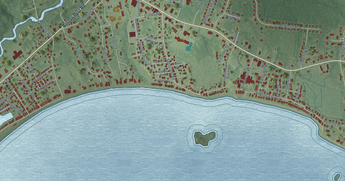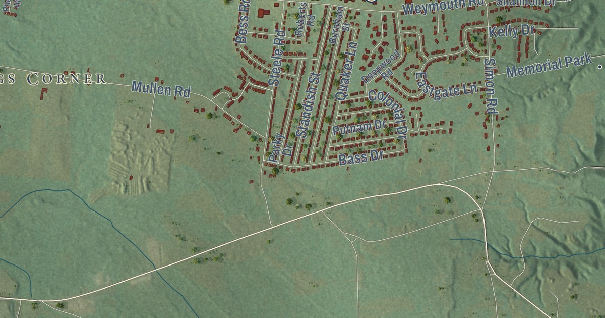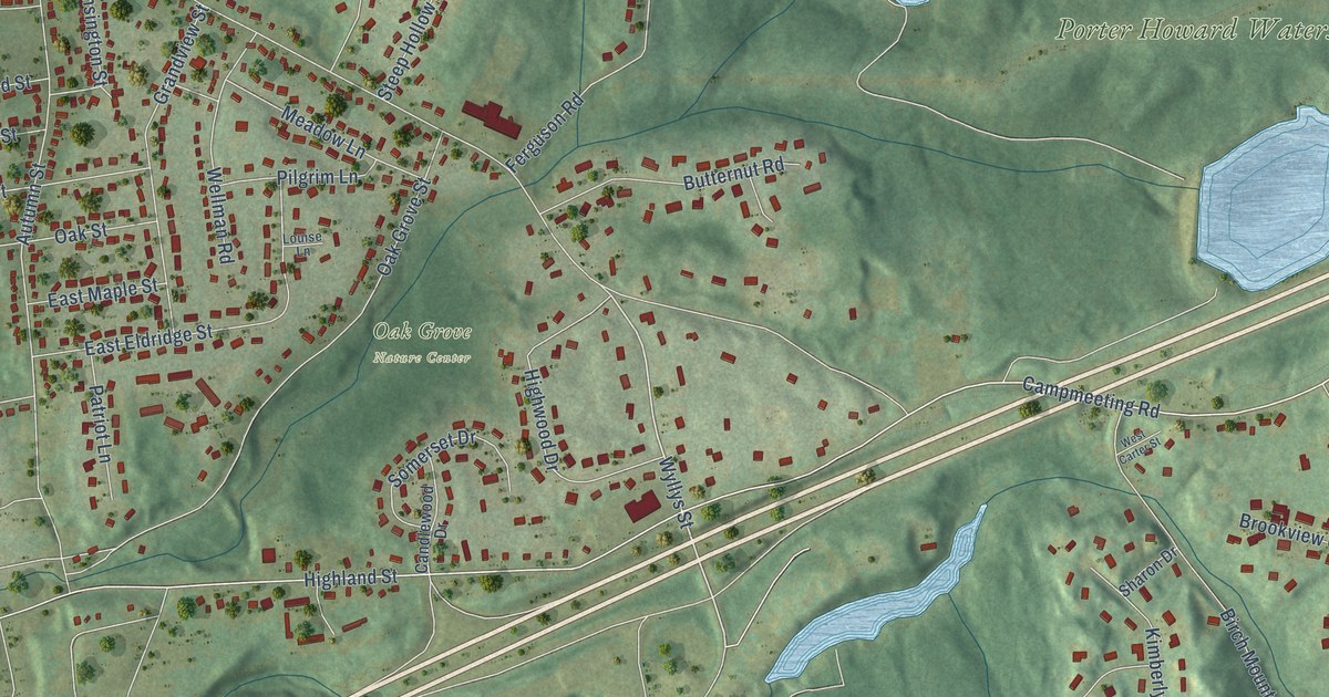
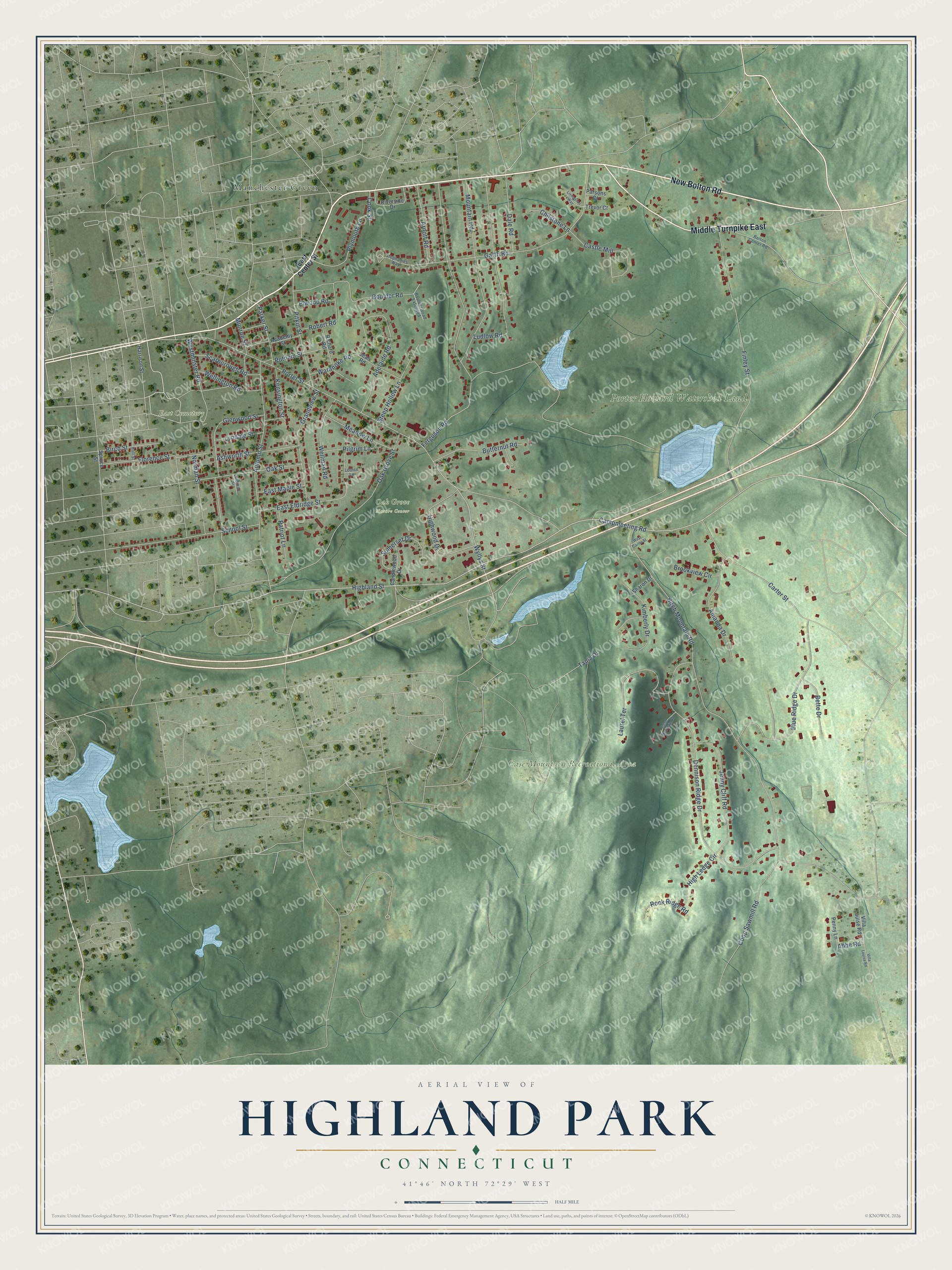
This beautifully detailed map of Highland Park, Connecticut was created in 2026 using aerial imagery combined with modern topographical, census, street and landmark data. It’s a one-of-a-kind view of Highland Park that combines accurate data with a vintage aesthetic. The map shows every building in its true location, many of the roads carry their names, and the shaded topographic relief shows the shape of the land.
Explore an aerial view of Highland Park, Connecticut
On the map you’ll find Case Mountain Recreational Area, East Cemetery, Oak Grove Nature Center, Porter Howard Watershed Land, and Manchester Green, along with Middle Turnpike East, New Bolton Road, Wyllys Street, Campmeeting Road, Highland Street, Parker Street, Abbe Road, and more. If you look closely you can even find your house accurately drawn in its correct location. Zoom in on the preview to look for yours.
Did You Know?
From Internet Archive: "Wells Case started a small mill in that part of the town now known as Highland Park, for the washing of cotton waste."
Highland Park is a community in Capitol County.
Take a closer look at the Highland Park map
Names on this map
These names are printed on this map.
Places: Case Mountain Recreational Area, East Cemetery, Oak Grove Nature Center, Porter Howard Watershed Land and Manchester Green.
Streets and roads: Middle Turnpike East, New Bolton Road, Wyllys Street, Campmeeting Road, Highland Street, Parker Street, Abbe Road, Garth Road, Castle Mill, Plymouth Lane, Birch Mountain Road, Porter Street.
More street names, A to Z
Academy Street, Adelaide Road, Amanda Drive, Arnott Road, Ashworth Street, Autumn Street, Bette Drive, Birch Street, Blue Ridge Drive, Bolton Center Road, Boulder Road, Boulder Road Extended, Brookview Circle, Butternut Road, Candlewood Drive, Carter Street, Case Mountain Road, Chilstone Lane, Cook Street, Coop Sawmill Road, Dale Road, Dennison Ridge Drive, East Center Street, East Eldridge Street, East Maple Street, Elwood Road, Ferguson Road, Finley Street, Florence Street, Glenwood Street, Grandview Street, Harrison Street, High Ledge Circle, Highwood Drive, Holl Street, Jean Road, Jenny Cliff Road, Kensington Street, Kimberly Drive, Laurel Terrace, Lindman Street, Livingston Way, Louise Lane, Ludlow Road, Lyndale Street, Meadow Lane, Mountain Road, Munroe Street, Norman Street, Oak Grove Street, Oak Street, Parsons Court, Patriot Lane, Penny Lane, Pilgrim Lane, Pitkin Street, Putnam Street, Richard Road, Riverside Drive, Robert Road, Rock Ridge Road, Scarborough Road, School Street, Sharon Drive, Somerset Drive, Spruce Street, Steep Hollow Lane, Stephanies Way, Tania Drive, Trevor Court, Villa Louisa Road, Villa Louise Road, Waranoke Road, Wellington Road, Wellman Road, West Carter Street, Westminster Road.
See it on a wall
The Highland Park map as a framed print. Swipe for more.


This beautifully detailed map of Highland Park makes an attractive addition to your office, library, or den, and it can even be used to teach children the geography and history of the area. It also makes a great gift for anyone with Highland Park roots. When you’re done exploring, click here to get your copy of the Highland Park map.