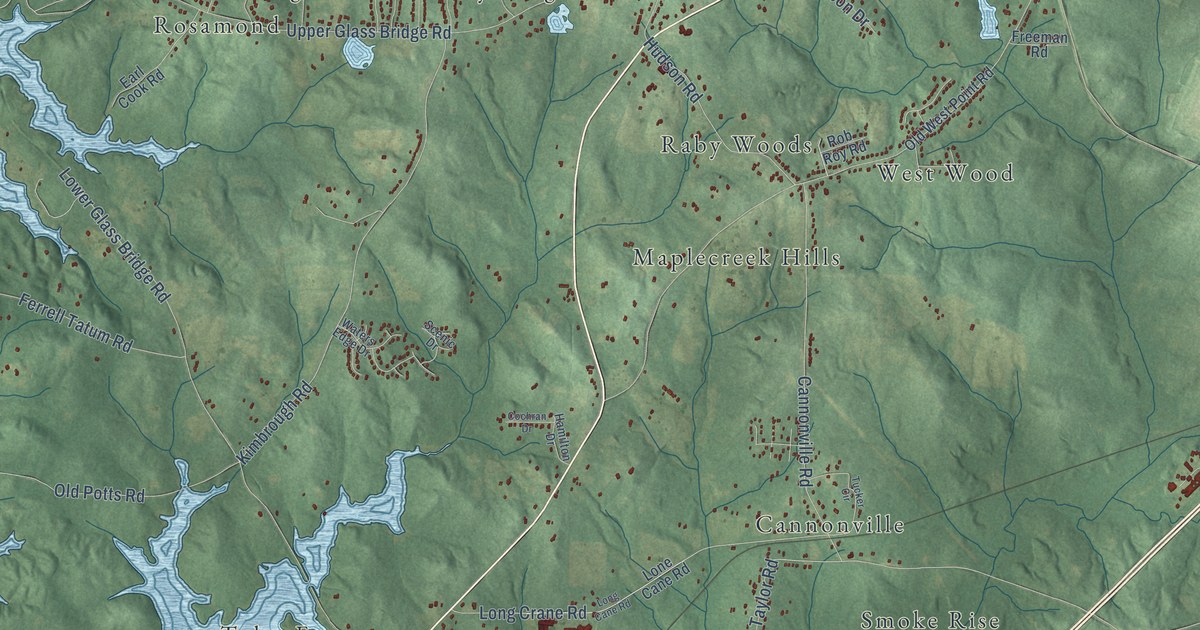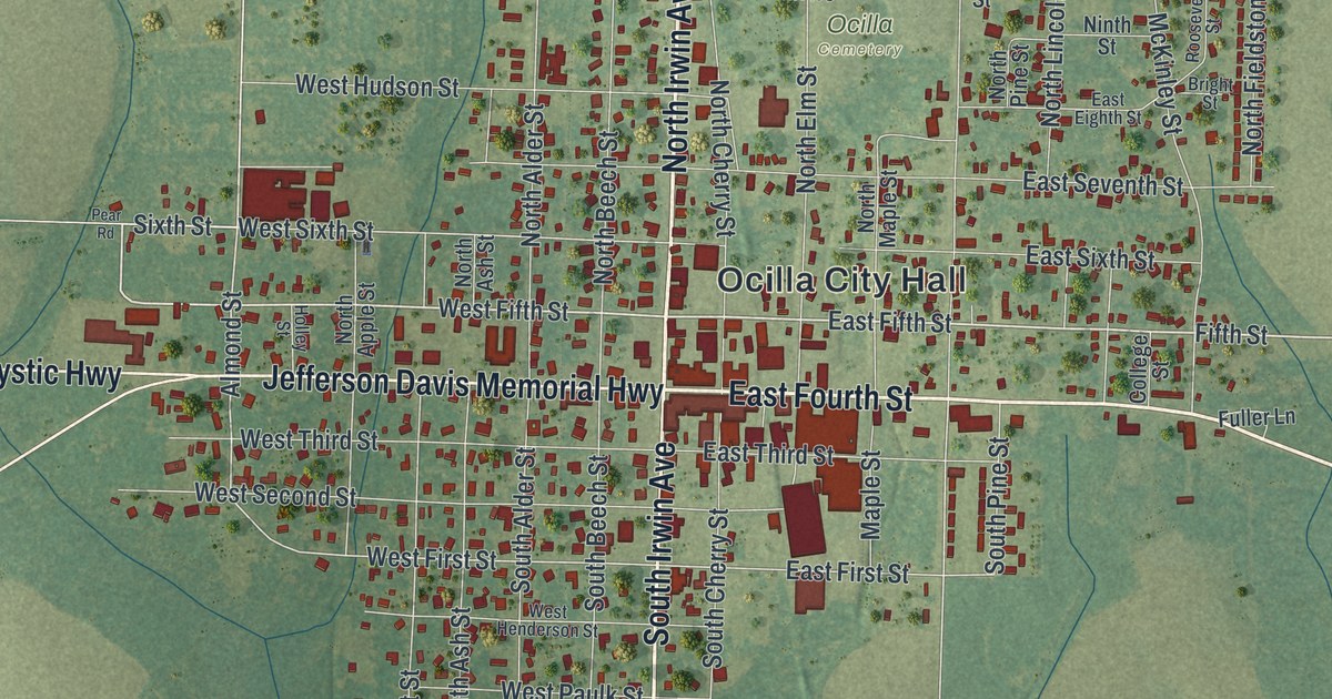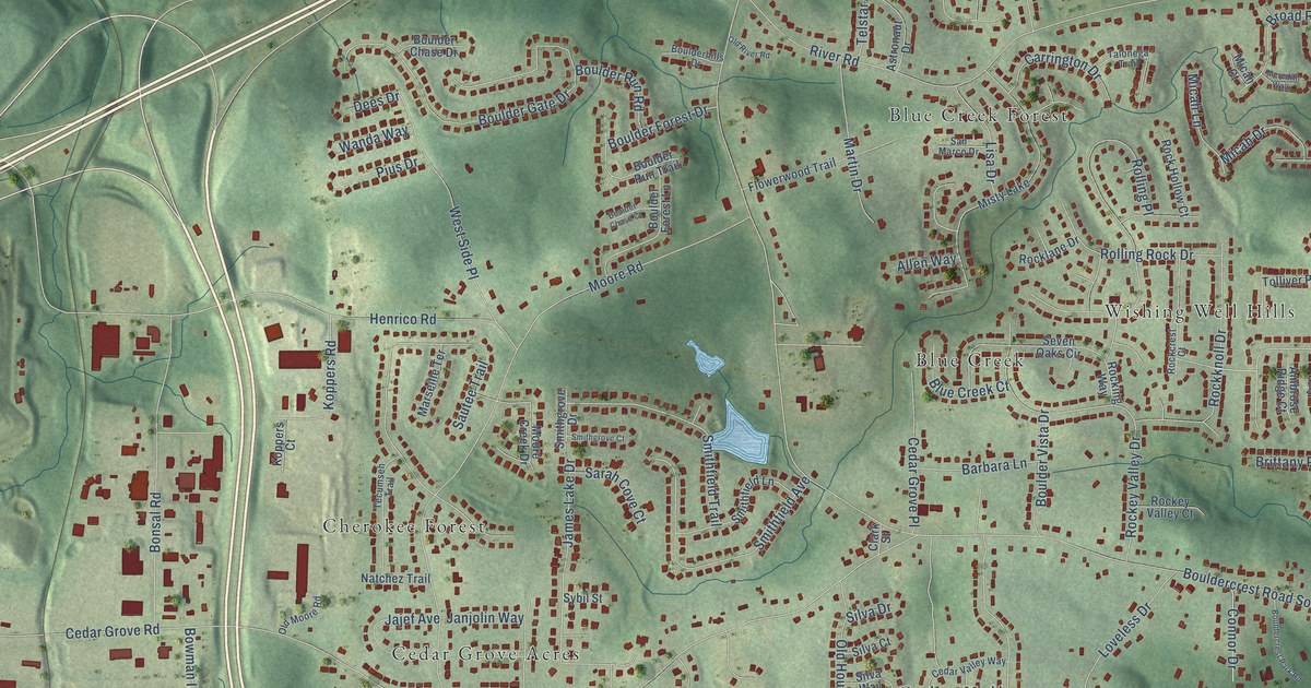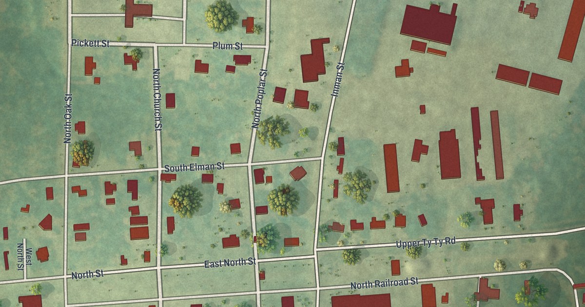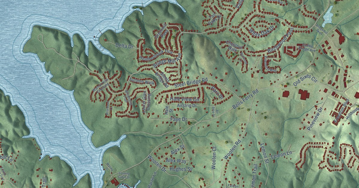
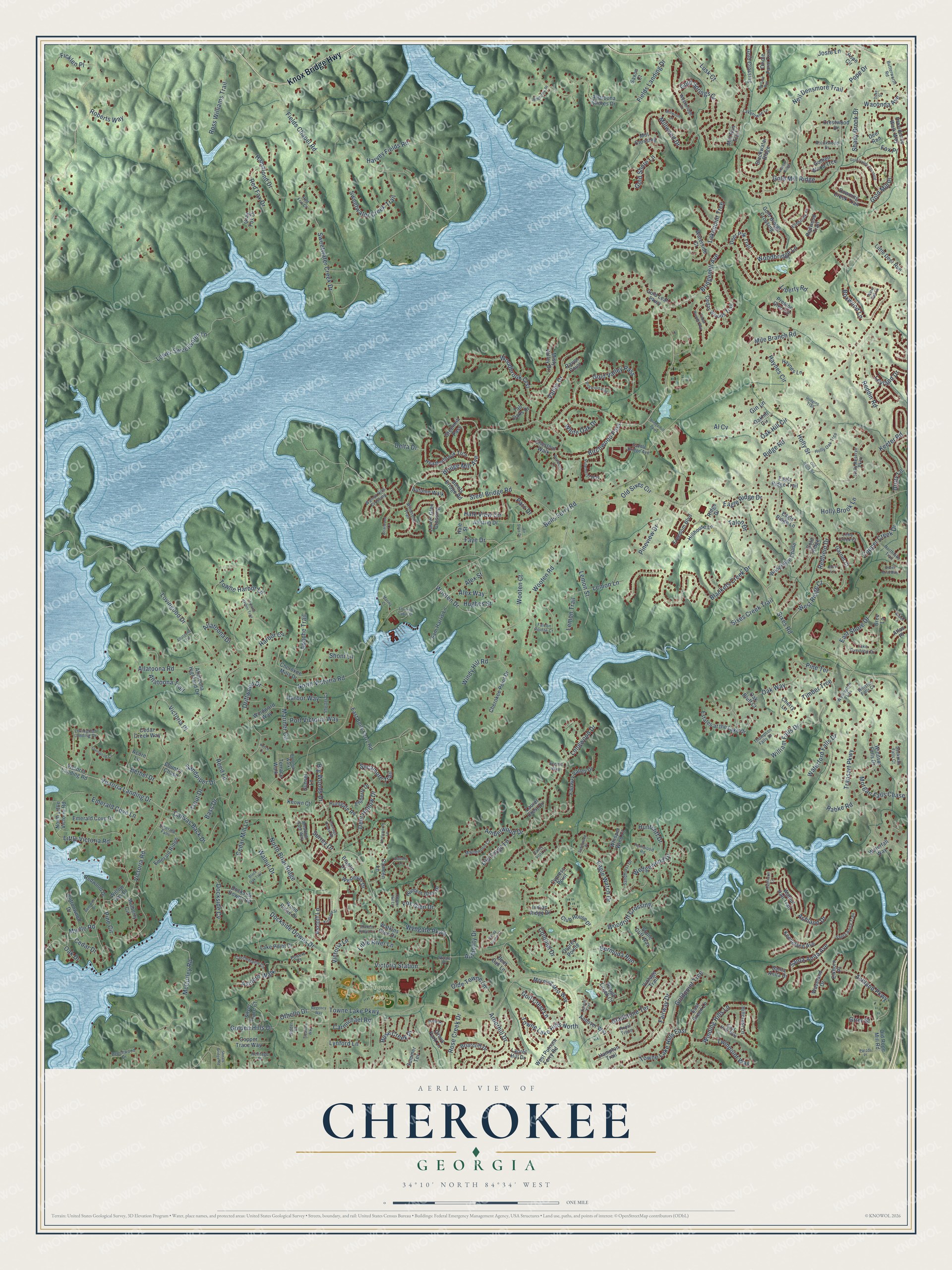
This beautifully detailed map of Cherokee, Georgia was created in 2026 using aerial imagery combined with modern topographical, census, street and landmark data. It’s a one-of-a-kind view of Cherokee that combines accurate data with a vintage aesthetic. The map shows every building in its true location, many of the roads carry their names, and the shaded topographic relief shows the shape of the land.
Explore an aerial view of Cherokee, Georgia
On the map you’ll find Hobgood Park and Gold Valley Pass, along with Knox Bridge Highway, Bridgemill Avenue, Fields Chapel Road, Oak Hill Circle, Bells Ferry Road, Ridge Road, Sixes Road, Eagle Watch Drive, Towne Lake Parkway, Victoria Road, and more. If you look closely you can even find your house accurately drawn in its correct location. Zoom in on the preview to look for yours.
Did You Know?
From Internet Archive: "At this conference Nathaniel Rhodes was sent to Habersham County, which bordered on the Cherokee Nation, and whose beautiful valleys were even now settled by the adventurous pioneer."
Cherokee is a community in Cherokee County.
Take a closer look at the Cherokee map
Names on this map
These names are printed on this map.
Places: Hobgood Park.
Streets and roads: Knox Bridge Highway, Bridgemill Avenue, Fields Chapel Road, Gold Valley Pass, Oak Hill Circle, Bells Ferry Road, Ridge Road, Sixes Road, Eagle Watch Drive, Towne Lake Parkway, Victoria Road, Sweetwater Creek Drive.
More street names, A to Z
Acorn Lane, Airstrip Drive, Air Strip Drive, Al Cv, Aldbury Lane, Alex Street, Alex Way, Allatoona Crst, Allatoona Drive, Allatoona Highland Drive, Allatoona Road, Allatoona Shores Drive, Allatoona Trail, Amberwood Drive, Andes Lane, Andover Way, Anthony Place, Apache Trail, Arborhill Drive, Ascott Lane, Ashfern Walk, Ashland Drive, Ashland Parkway, Atlas Place, Authority Drive, Autumn Walk, Bass Drive, Beechwood Drive, Bent Oak Lane, Bentwood Drive, Bermuda Run, Bethel Drive, Big Woods Drive, Birchwood Pass, Black Oak Trail, Blackwater Ridge, Blankets Creek Drive, Boxwood Lane, Braelin Court, Bree Lane, Briarcliff Drive, Briarwood Lane, Bridge Mill Avenue, Bridgemill Parkway, Brookwood Drive, Butterworth Road, Camden Lane, Canvas Back Drive, Carmichael Road, Carriage Creek Road, Castlemaine Circle, Castleton Lane, Cedar Creek Way, Cedar Drive, Cedar Mill Lane, Cedar Woods Trail, Cedar Woods Way, Chatsworth Lane, Cherokee Mills Drive, Cherokee Point Drive, Cherry Lane, Chestnut Walk, Club House Drive, Colonial Drive, Colonial Walk, Copper Creek Drive, Copper Hill Lane, Copper Trace Way, Cottonwood Drive, Country Chase, Crestwood Drive, Cypress Point, Deer Hollow Drive, Deer Park Trail, Deer Run, Delta Drive, Dockside Cv, Dockside Downs Drive, Dockside Downs Road, Dogwood Way, Downing Creek Trail, Driftwood Drive, Drury Lane, Duke Street, Dunhill Trail, Eagle Ridge Drive, Eagle Ridge Lane, Eagle Ridge Trail, East Bells Ferry Road, East Green Lane, East Hills Way, East Shore Drive, Elkhorn Place, Elmbrook Lane, Elsberry Drive, Emerald Cove Drive, Emerald Cove Lane, Emerald Falls, Emerald Ridge, Estates at the Lake Drive, Fairway Drive, Fairway Valley Drive, Falcon Pointe Court, Faye Drive, Fernwood Road, Ficklen Place, Fields Landing Drive, Floating Cabin Drive, Fox Glen Drive, Fox Place, Freedom Boulevard, Garnet Court, Gin Lane, Gladstone Terrace, Gold Bridge Crossing, Gold Crossing, Golden Hills Drive, Golden Wood Trce, Gold Leaf Parkway, Gold Mill Place, Gold Mill Ridge, Goldpoint Trce, Gold Ridge, Gold Shore Lane, Gold Springs Court, Gold Valley Crossing, Golf Crest Lane, Gray Fox Drive, Greenhill Pass, Grier Street, Grove Park Lane, Hale Street, Hale View Circle, Hammond Drive, Hampton Trail, Harbor Cv, Harbor Ridge, Harbor Way, Harvey Fields Road, Haynes Circle, Haynes Lane, Heatherbrook Trce, Heritage Place, Hidden Court, Hillcrest Lane, Hillhouse Lane, Hodgins Trail, Holly Brook Lane, Holly Oak Trce, Holly Reserve Parkway, Holly Street, Hughes Street, Huntcliff Drive, Hunters Glen Drive, Huntgate Road, Indian Ridge Drive, Josie Lane, Keeneland Avenue, Keeter Road, Keown Court, Ketch Cv, Kingland Street, Lake Overlook Drive, Lake Point Drive, Lakepoint Trce, Laketowne Lane, Laurel Crest Drive, Laurel Glen Crossing, Laurel Hill Drive, Lemon Lane, Lemon Street, Lemon Trail, Leyland Drive, Liberty Road, Little Creek Court, Little Deer Run, Little River Lane, Little Victoria Road, Longwood Drive, Lovingood Court, Lovingood Drive, Lovingood Landing Drive, Lower Sweetwater Lane, Lusk Court, Lynford Lane, Mallard Run, Maplewood Court, Marina Court, Mariner Circle, McCurley Road, Meadow Gate Way, Mile Branch Road, Mill Crossing, Mill Run Trail, Millwood Court, Millwood Drive, Misty Valley Drive, Morgan Falls Chase, Morning Mist Way, Mulberry Circle, Myrtle Road, Neil Densmore Trail, North Briar Ridge, Northlake Trail, North Little Victoria Road, North Victoria Road, Oak Bluff Court, Oak Drive, Oakhill Circle, Oak Way, Olde Towne Lane, Old Forge Lane, Old Holly Road, Old Rope Mill Road, Old Sixes Circle, Oriole Farm Trail, Osprey Pointe, Othello Drive, Parc Drive, Park Place, Parodi Place, Pine Circle, Pinehurst Way, Pine Terrace, Pineview Drive, Pope Circle, Pope Drive, Port Victoria Way, Powers Court, Preston Glen Circle, Providence Walk Way, Rabke Road, Raven Point, Reddin Road, Redfield Drive, Red Fox Court, Red Fox Drive, Redwood Drive, Redwood Lane, Redwood Trail, Reed Lane, Regency Way, Ridge Drive, Roberts Way, Rose Creek Drive, Rose Creek Place, Ross Williams Trail, Rough Creek Court, Royal Troon, Ruby Lane, Sackman Falls Court, Saddle Bridge Avenue, Sam Harris Lane, Sandhurst Drive, Sandpiper Drive, Santa Anita Avenue, Santa Anita Drive, Santa Anita Trail, Satinwood Place, Saxon Court, Scenic Way, Shadow Ridge Circle, Shady Brook Drive, Shelter Cv, Shoals Bridge Road, Shoni Lane, Silver Mist Way, Silver Trace Court, Sixes Creek Trail, Steel Bridge Road, Steels Bridge Road, Stone Cliff Way, Stuart Place, Summer Terrace, Sunset Lane, Surrey Drive, Sweetwater Creek Trail, Sycamore Trail, Tall Oaks Drive, Talon Drive, Terrace Walk, Thompson Falls Drive, Timber Trce, Towne Harbor Lane, Towne Harbor Trail, Towne Lake Hills East, Towne Lake Hills North, Transart Parkway, Treasure Way, Trout Drive, Twinpoint Way, Valley Drive, Valley Green Court, Valley Vista Lane, Victoria Landing Drive, Victoria Landing Road, Victoria Lane, Victoria Place, Victoria Station, Vintage Trail, Waconda Avenue, Walnut Drive, Walnut Hall Trail, Walnut Hills Crossing, Waterfall Way, Waterford Falls Drive, Water Oak Lane, Waterside Court, Watkins Glen Drive, Waveland Drive, Wedgewood Drive, Wellington Falls, Wesleyan Drive, Westbridge Lane, West Putnam Ferry Road, West Ridge Court, Whisper Wind Court, White Oak Drive, William Falls Drive, Willow Oak Drive, Winding Hills Lane, Windsong Trail, Windsor Falls Drive, Windward Way, Windy Hill Road, Winston Falls Court, Woodbridge Lane, Woodbrook Crst, Woodridge Chase, Wood Ridge Drive, Woodruff Crossing, Wooten Court, Wooten Drive, Wooten Road, Wyngate Parkway.
See it on a wall
The Cherokee map as a framed print. Swipe for more.


This beautifully detailed map of Cherokee makes an attractive addition to your office, library, or den, and it can even be used to teach children the geography and history of the area. It also makes a great gift for anyone who grew up in Cherokee or moved away. When you’re done exploring, click here to get your copy of the Cherokee map.