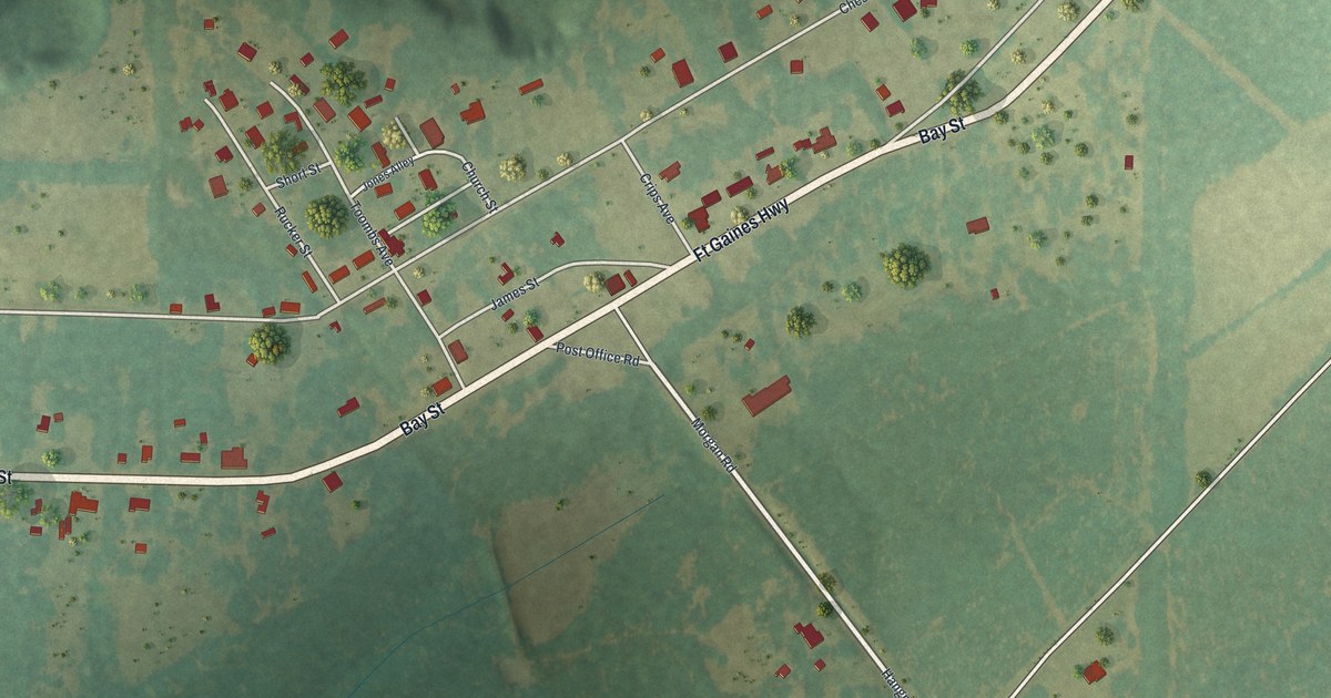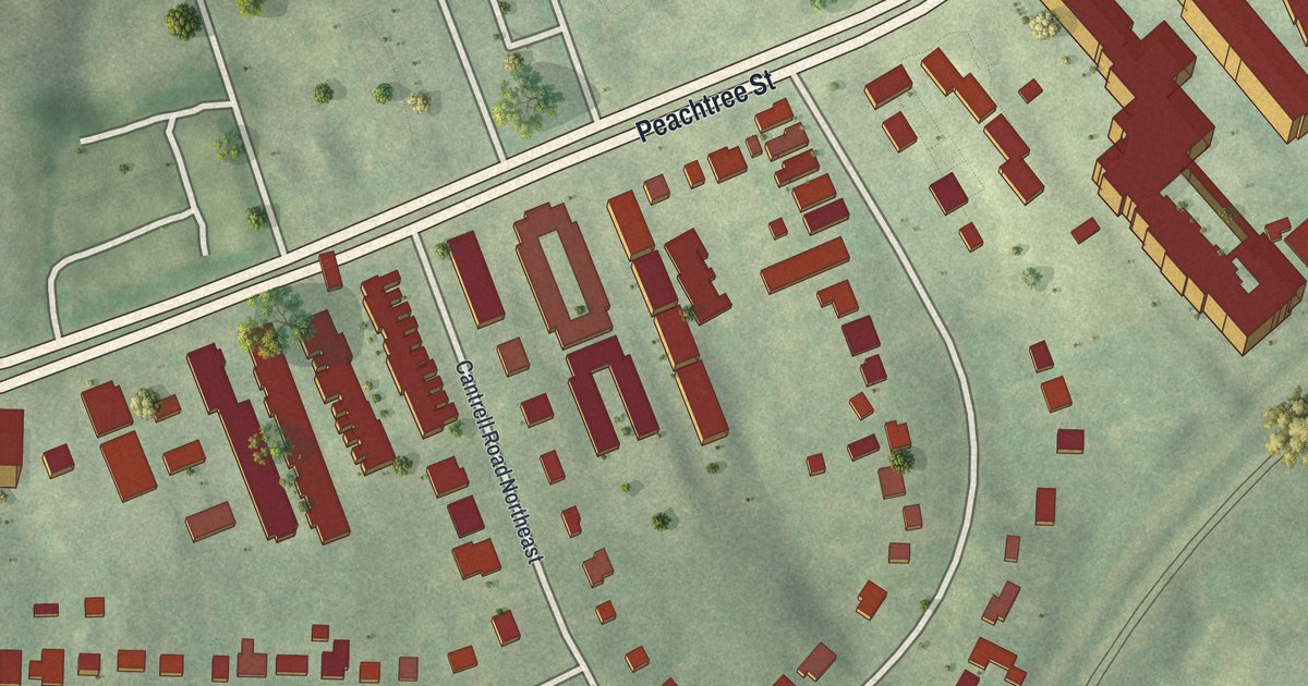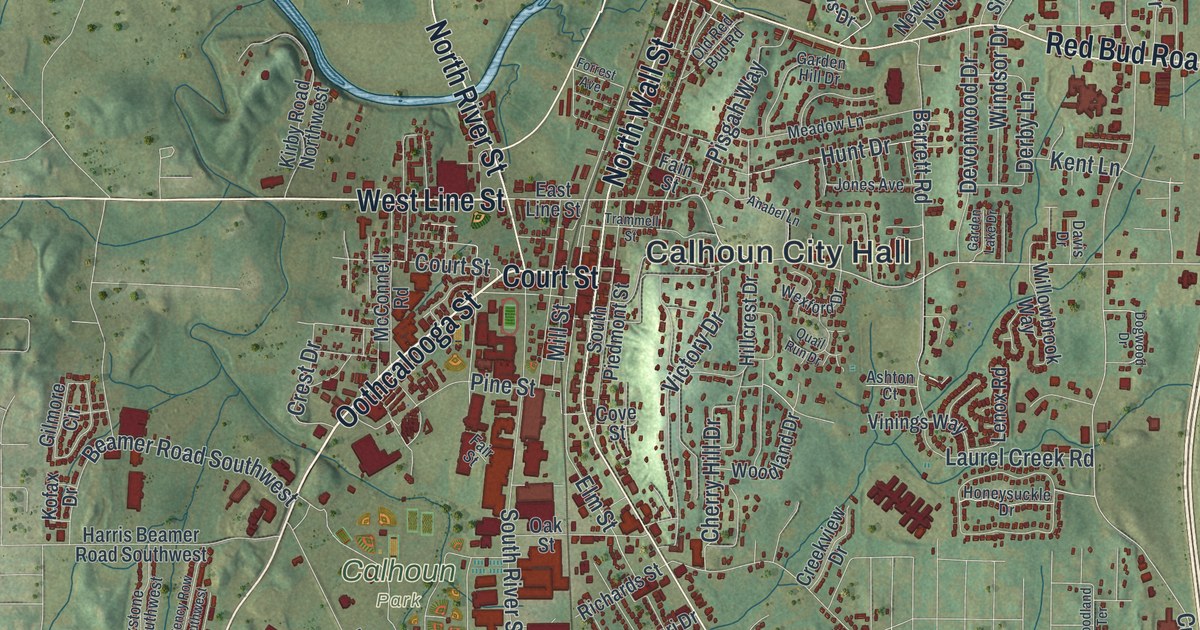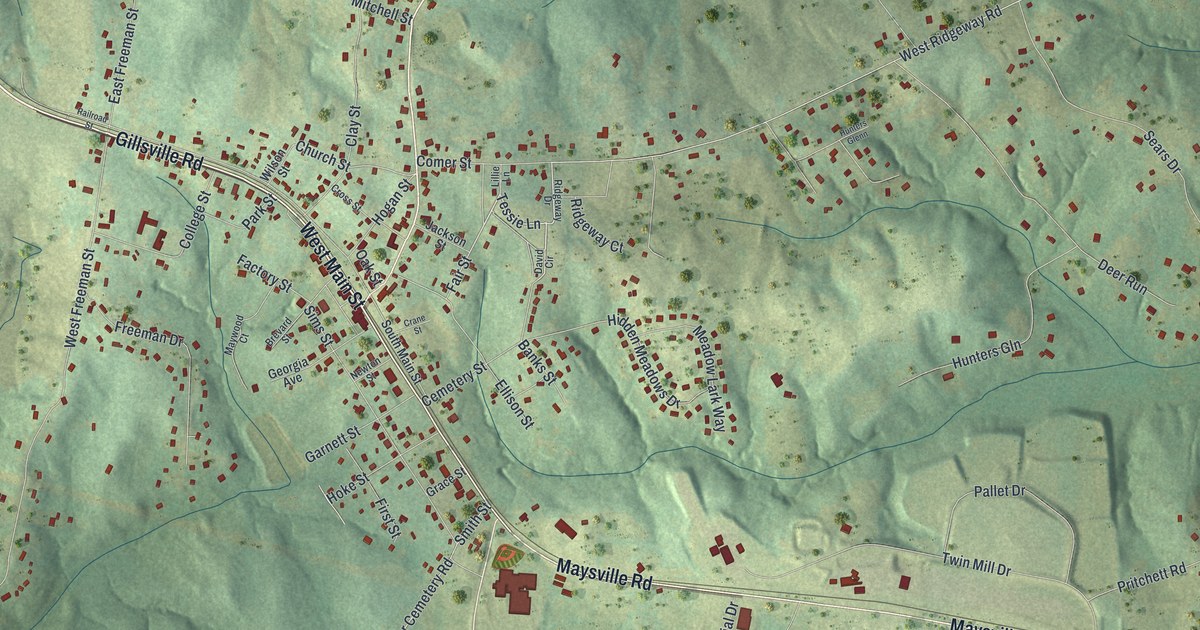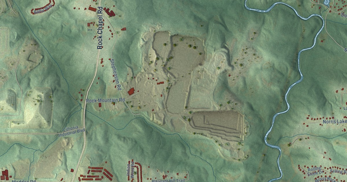
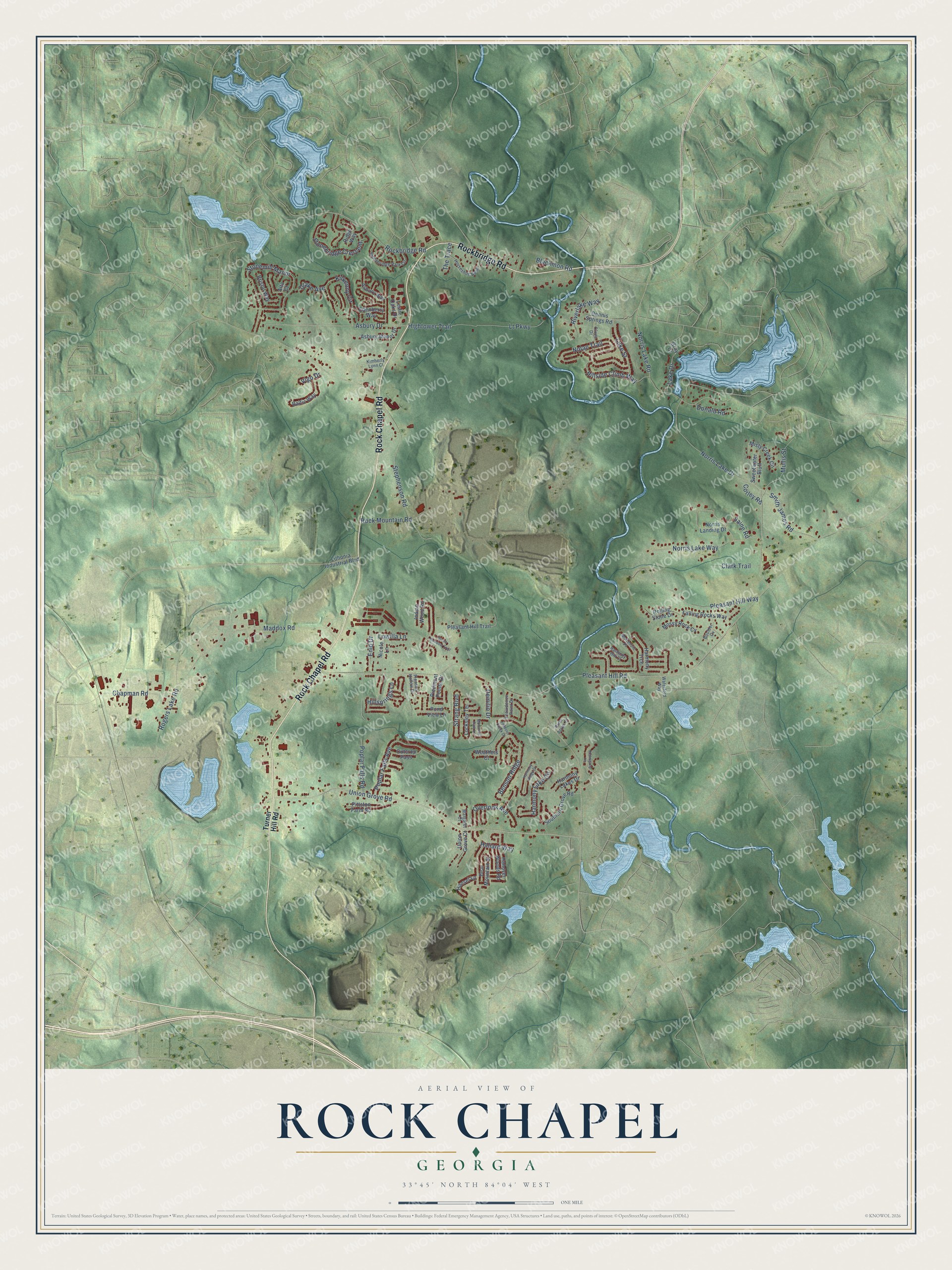
This beautifully detailed map of Rock Chapel, Georgia was created in 2026 using aerial imagery combined with modern topographical, census, street and landmark data. It’s a one-of-a-kind view of Rock Chapel that combines accurate data with a vintage aesthetic. The map shows every building in its true location, many of the roads carry their names, and the shaded topographic relief shows the shape of the land.
Explore an aerial view of Rock Chapel, Georgia
On the map you’ll find Stonemill Manor, along with Rock Chapel Road, Rockbridge Road, Union Grove Road, Pleasant Hill Road, Stephenson Road, Norris Lake Drive, Maddox Road, Asbury Drive, Nolan Trail, Pleasant Hill Way, Norris Lake Road, and more. If you look closely you can even find your house accurately drawn in its correct location. Zoom in on the preview to look for yours.
Take a closer look at the Rock Chapel map
Names on this map
These names are printed on this map.
Streets and roads: Rock Chapel Road, Rockbridge Road, Union Grove Road, Pleasant Hill Road, Stephenson Road, Norris Lake Drive, Maddox Road, Stonemill Manor, Asbury Drive, Nolan Trail, Pleasant Hill Way, Norris Lake Road.
More street names, A to Z
Alta Court, Asbury Manor Drive, Asbury Way, Baltic Way, Bear Mountain Street, Benson Ridge, Blackmon Road, Boulder Cv, Bristol Way, Chapman Road, Clark Trail, Corley Road, Demilio Drive, Dennis Springs Road, Donald Road, Drake Avenue, Edenberry Way, Enid Drive, Falling Rocks Way, Gray Court, Haliard Way, Hanover Woods Road, Hansel Lane, Harmony Hill Court, Harmony Lake Circle, Harmony Lakes Drive, Harmony Ridge Court, Harmony Trce, Hightower Trail, Hillside Climb Way, Hillsprings Lane, Horseshoe Bend, Indian Wood Road, Johnson Creek Drive, Kilkenny Circle, Kimberly Lynn Court, Lake Drive, Leslie Oaks Drive, Lithonia Industrial Boulevard, Locksley Terrace, Lowilla Lane, Lt Parkway, Luke Street, Mahogany Lane, Margaret Court, McKenzie Place, Misty Creek Circle, Mohansic Park Lane, Mossy Rock Cv, Mullis Street, Nicole Lane, Norris Lake Way, Norris Landing Drive, Olivia Drive, Outcrop Pass, Overlook Avenue, Piedmont Pointe Drive, Pittston Farm Road, Pleasant Hill Trail, Pleasant Hollow Drive, Pond View Lane, Poplar Falls Avenue, Poplar Falls Road, Providence Point Drive, Ridge Way, River Acres Court, Riverlake Way, Rock Mountain Road, Rogers Lake Road, Rolling Stone Drive, Saine Road, Smith James Road, Southern Grove Road, Stonebridge Crescent, Stonebridge Park Circle, Stone Meadow Trail, Strang Boulevard, Sweetwater Bluff, The Trace, Turner Hill Road, Union Grove Court, Vigo Drive, Waterford Way, Weathers Court.
See it on a wall
The Rock Chapel map as a framed print. Swipe for more.


This beautifully detailed map of Rock Chapel makes an attractive addition to your office, library, or den, and it can even be used to teach children the geography and history of the area. It also makes a great gift for anyone with Rock Chapel roots. When you’re done exploring, click here to get your copy of the Rock Chapel map.