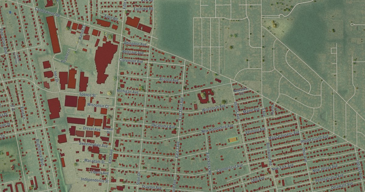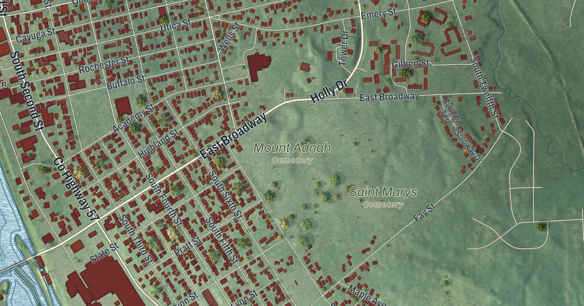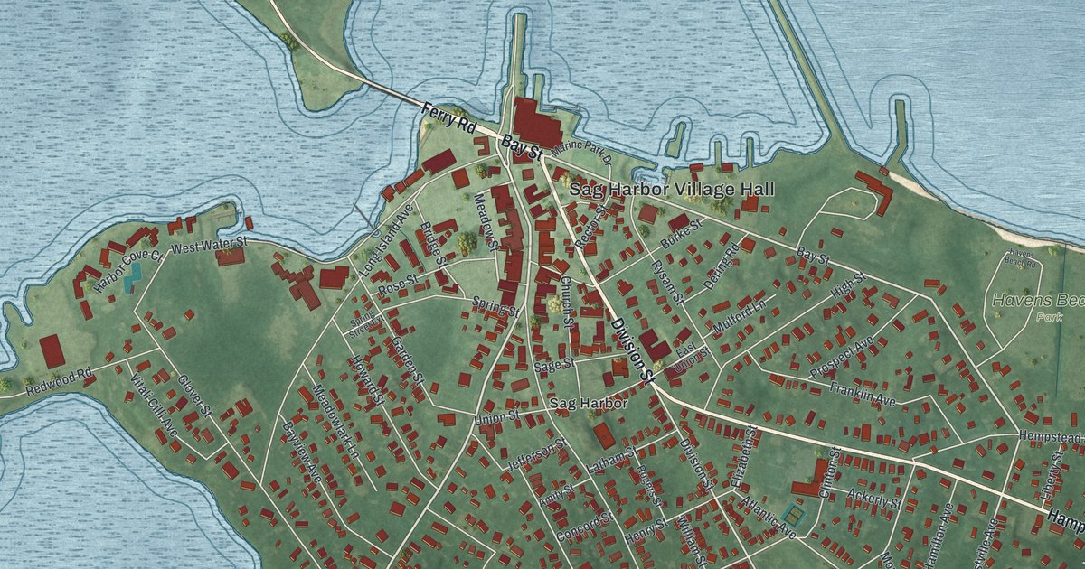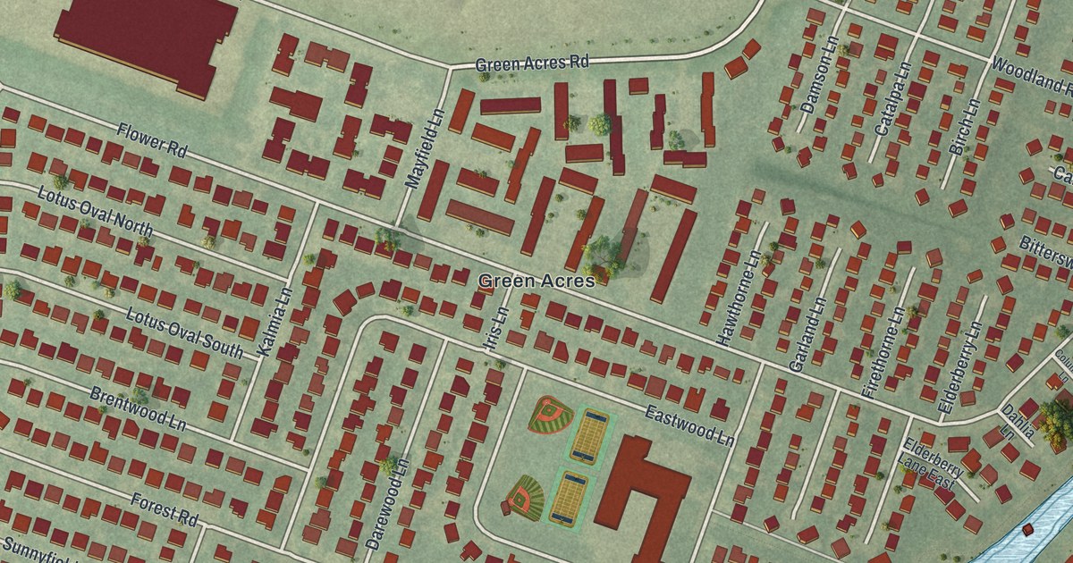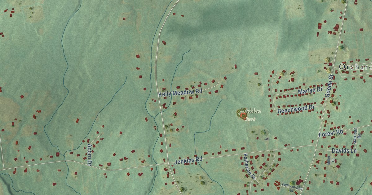
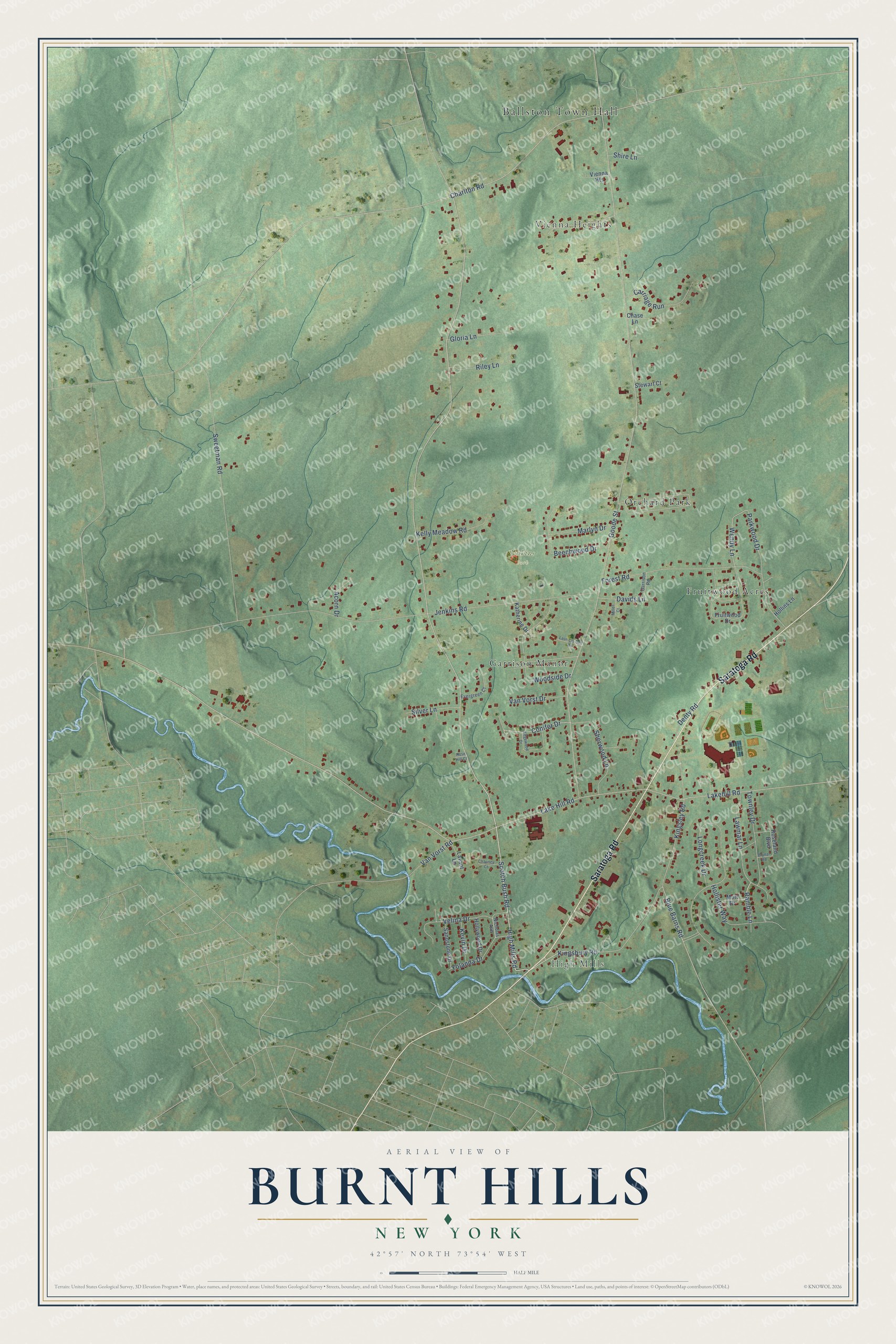
This beautifully detailed map of Burnt Hills, New York was created in 2026 using aerial imagery combined with modern topographical, census, street and landmark data. It’s a one-of-a-kind view of Burnt Hills that combines accurate data with a vintage aesthetic. The map shows every building in its true location, many of the roads carry their names, and the shaded topographic relief shows the shape of the land.
Explore an aerial view of Burnt Hills, New York
On the map you’ll find Ballston Town Hall, High Mills, Jenkins Park, Orchard Park, Garrison Manor, Vienna Heights, and Fruitwood Acres, along with Saratoga Road, Scotch Bush Road, High Mills Road, Kingsbury Road, Lake Hill Road, and more. If you look closely you can even find your house accurately drawn in its correct location. Zoom in on the preview to look for yours.
Did You Know?
From Internet Archive: "At Burnt Hills also was a pioneer school-house, and among the sturdy Scotch settlers in the western part of the town there was another."
Burnt Hills is a community in Saratoga County.
Take a closer look at the Burnt Hills map
Names on this map
These names are printed on this map.
Places: Ballston Town Hall, High Mills, Jenkins Park, Orchard Park, Garrison Manor, Vienna Heights and Fruitwood Acres.
Streets and roads: Saratoga Road, Scotch Bush Road, High Mills Road, Kingsbury Road, Lake Hill Road, Conifer Drive, Wendy Lane, Ramble Lane, Goode Street, Jenkins Road, Kingsley Road, Forest Road.
More street names, A to Z
Acorn Drive, Beechwood Drive, Blue Barns Road, Brynal Road, Carriage Run, Charlton Road, Chase Lane, Chauncy Court, Davids Lane, Denty Road, Edgewood Drive, Evergreen Court, Fruitwood Drive, Garrison Road, Gloria Lane, Hollins Lane, Hollister Way, Hollywood Drive, Katherine Drive, Kelly Meadow Road, Kevin Drive, Lakehill Road, Laur-Lin-Dee Lane, Lavant Lane, Lawmar Lane, Longcreek Drive, Marlyn Drive, Miller Court, Mott Drive, Nicholas Avenue, Parkwood Drive, Riley Lane, Rose Hill Court, Roseland Boulevard, Sandstone Drive, Sherwood Lane, Shire Lane, Silver Lane, Stewart Court, Sweetman Road, Townley Drive, Van Vorst Drive, Van Vorst Road, Velina Drive, Woodside Drive, Yolanda Drive.
See it on a wall
The Burnt Hills map as a framed print. Swipe for more.


This beautifully detailed map of Burnt Hills makes an attractive addition to your office, library, or den, and it can even be used to teach children the geography and history of the area. It also makes a great gift for anyone with Burnt Hills roots. When you’re done exploring, click here to get your copy of the Burnt Hills map.