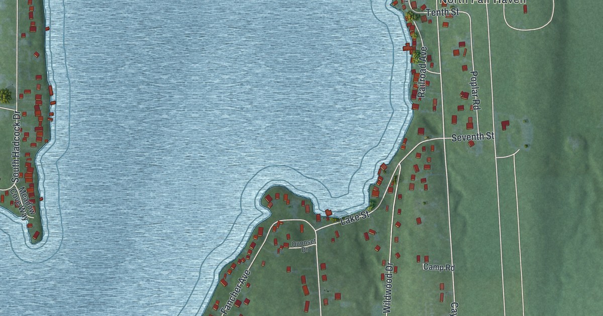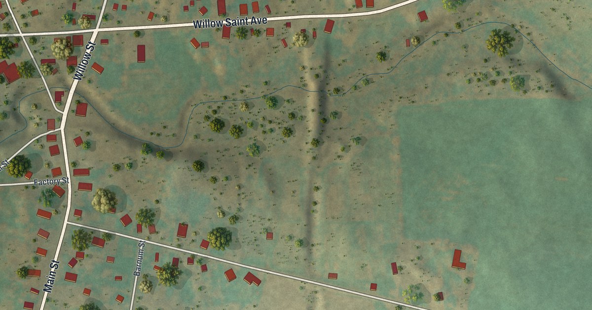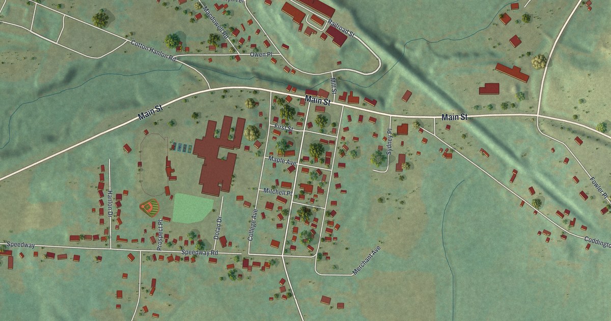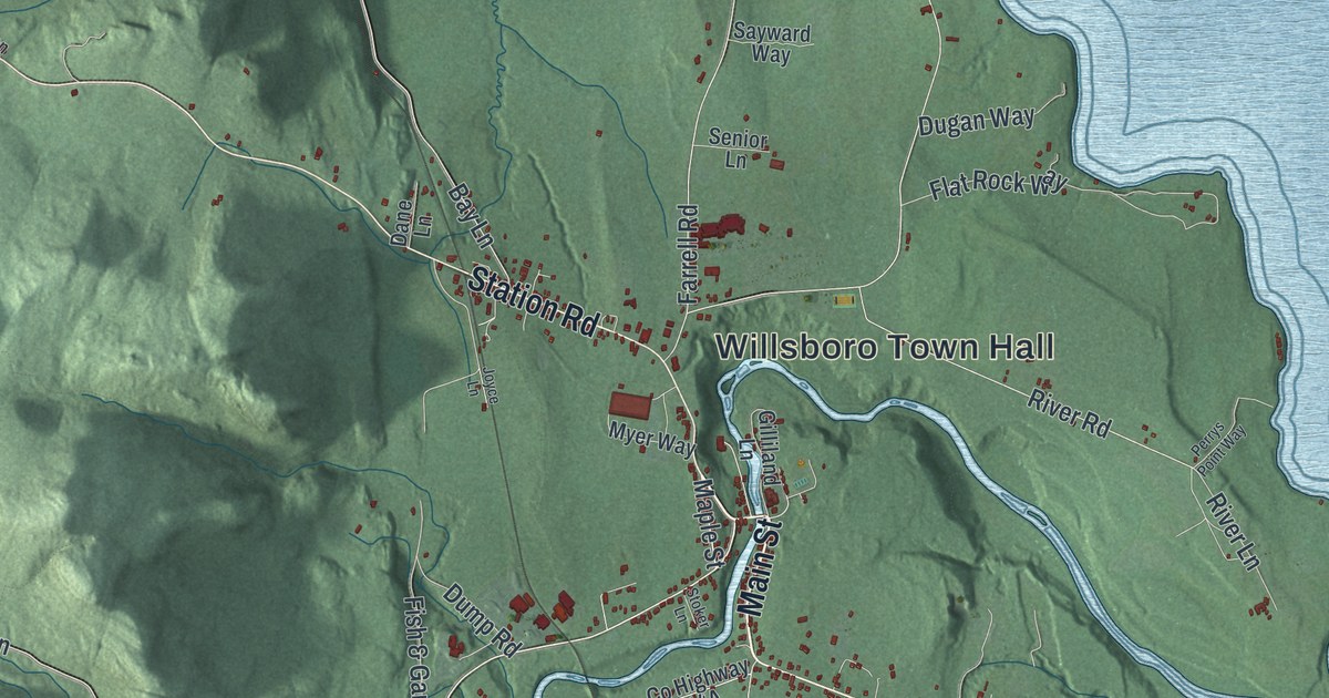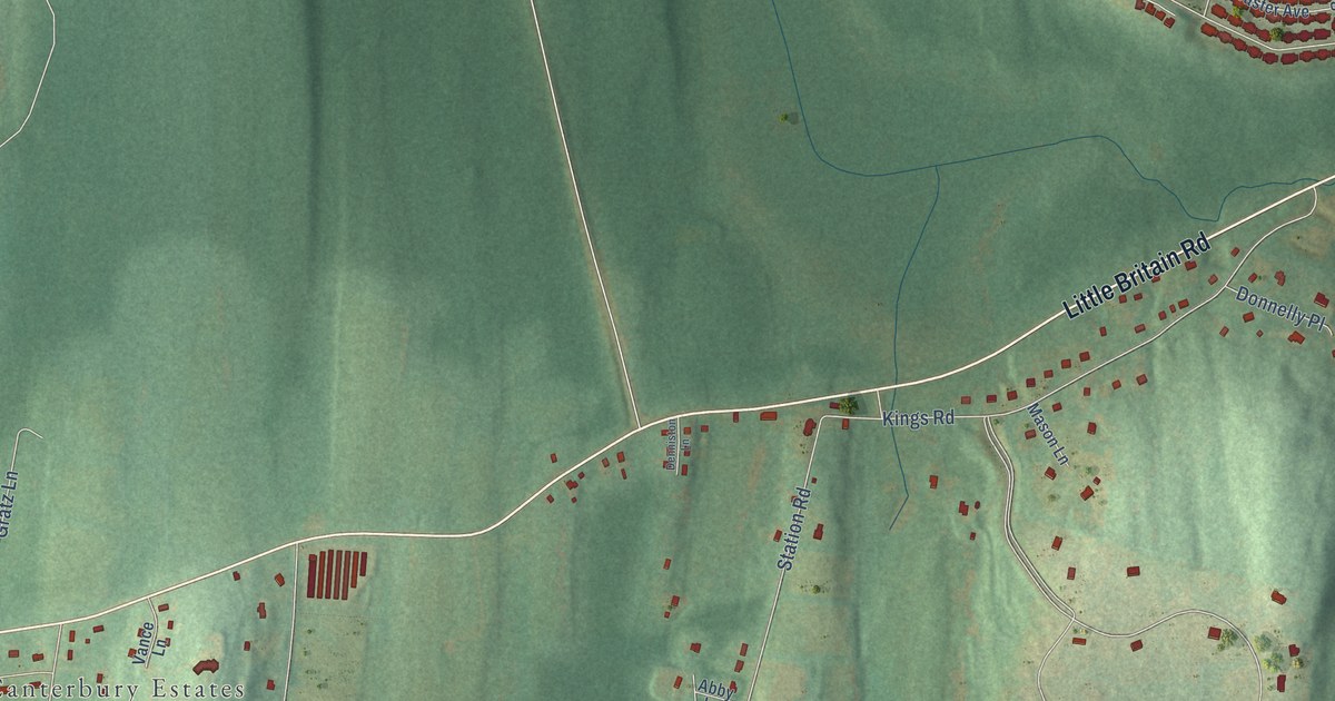
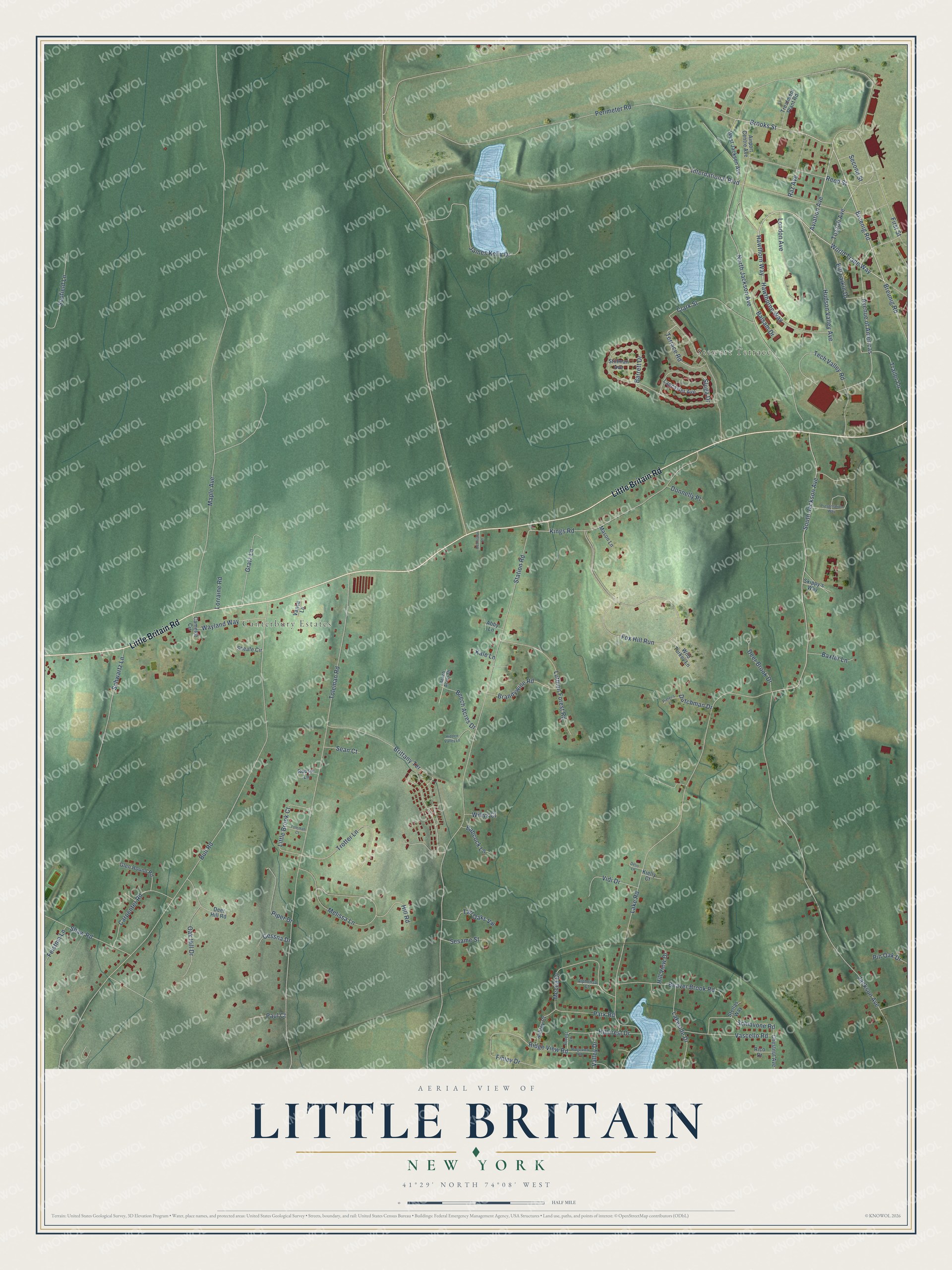
This beautifully detailed map of Little Britain, New York was created in 2026 using aerial imagery combined with modern topographical, census, street and landmark data. It’s a one-of-a-kind view of Little Britain that combines accurate data with a vintage aesthetic. The map shows every building in its true location, many of the roads carry their names, and the shaded topographic relief shows the shape of the land.
Explore an aerial view of Little Britain, New York
On the map you’ll find Canterbury Estates and Avenue of Americas, along with Stewart Terrace, Little Britain Road, World Trade Way, Bruenig Road, Breunig Road, Aviation Avenue, Brooks Street, Hudson Valley Avenue, Hawthorn Way, Brittany Terrace, and more. If you look closely you can even find your house accurately drawn in its correct location. Zoom in on the preview to look for yours.
Did You Know?
From Internet Archive: "Robert Annan, who carae over from Scotland in 1761, and who, before the expiration of ten years, established preaching stations throughout the Wallkill country from Little Britain to Bloomingburgh."
Little Britain is a community in Orange County.
Take a closer look at the Little Britain map
Names on this map
These names are printed on this map.
Places: Stewart Terrace and Canterbury Estates.
Streets and roads: Little Britain Road, World Trade Way, Bruenig Road, Breunig Road, Aviation Avenue, Brooks Street, Hudson Valley Avenue, Hawthorn Way, Brittany Terrace, Avenue of Americas, North Jackson Avenue, Ridge View Road.
More street names, A to Z
Abby Lane, Airport Centre Avenue, Alphonsa Court, Ashley Court, Babcock Lane, Balsam Drive, Barrett Drive, Baxter Lane, Beach Acres Drive, Beaver Brook Road, Beech Acres Drive, Bill Larkin Drive, Brandywine Road, Bull Road, Camelot Circle, Carpenter Road, Cessna Drive, Chestnut Avenue, Clark Street, Deer Brook Drive, Deer Hill Road, Deljo Lane, Denniston Lane, Donnelly Place, Dutchman Drive, Feistma Lane, Finley Drive, First Street, Forest Lane, Fox Hill Run, Glen Round Road, Gratz Lane, Hawthorne Way, Hidden Valley Lane, Hillcrest Drive, Hill Road, Hill View Drive, International Boulevard, Jackson Avenue, James Kelly Drive, Kale Lane, Kielly Court, Kings Road, Lake Road, Lakeside Drive, Lancaster Avenue, Little Brook Court, London Avenue, Lorraine Road, Luthien Forest Road, Maple Avenue, Mason Lane, Mecca Drive, Melissa Lane, Oak Hill Drive, Park Road, Paul Court, Perimeter Road, Pieter's Court, Pin Oak Drive, Piper Drive, Presentation Way, Raz Avenue, Reed Street, Rico Drive, Ridgeview Road, Roosje Lane, Schiavone Road, Schwartz Lane, Scofield Lane, Sean Court, Second Street, Sesame Street, Shaw Road, Sheafe Circle, Skippy's Way, Sluga Drive, South Jackson Avenue, Station Road, Stellas Way, Stillman Avenue, Tall Oaks Vw, Tech Valley Road, Terrace Road, Toleman Court, Toleman Road, Tozzoli Avenue, Trailer Lane, Treatment Plant Road, Trotter Lane, Valley Drive, Vance Lane, Vascello Road, Vidi Drive, Wayland Way, West Jackson Avenue, Wild Turkey Lane, Willys Court.
See it on a wall
The Little Britain map as a framed print. Swipe for more.


This beautifully detailed map of Little Britain makes an attractive addition to your office, library, or den, and it can even be used to teach children the geography and history of the area. It also makes a great gift for someone who left Little Britain and still calls it home. When you’re done exploring, click here to get your copy of the Little Britain map.