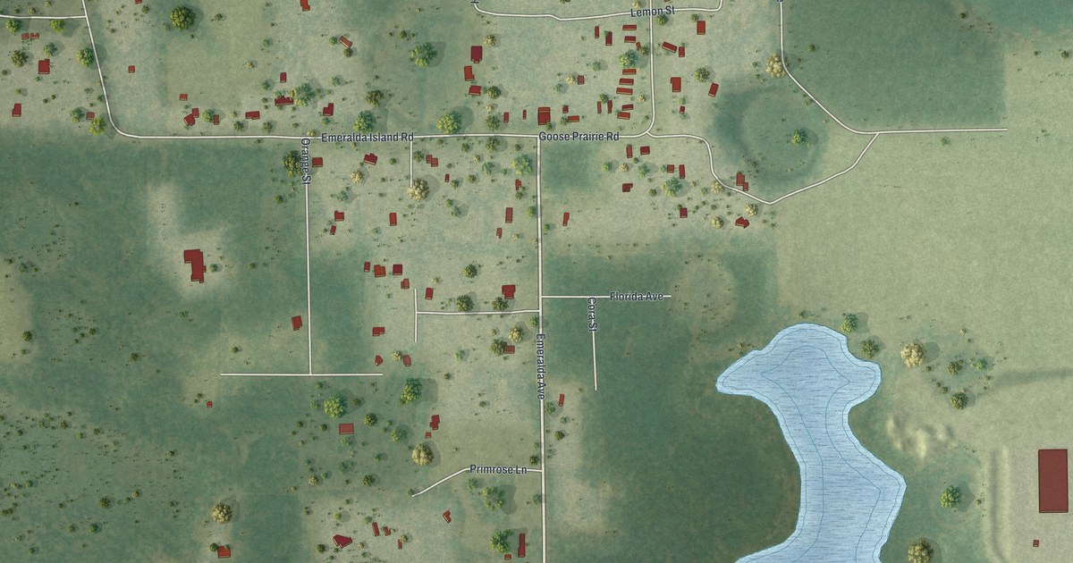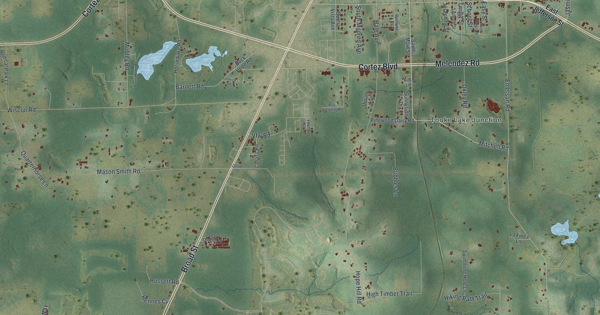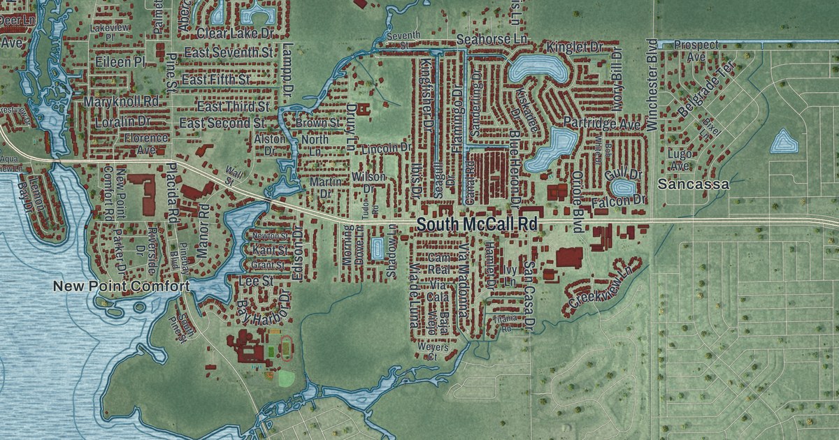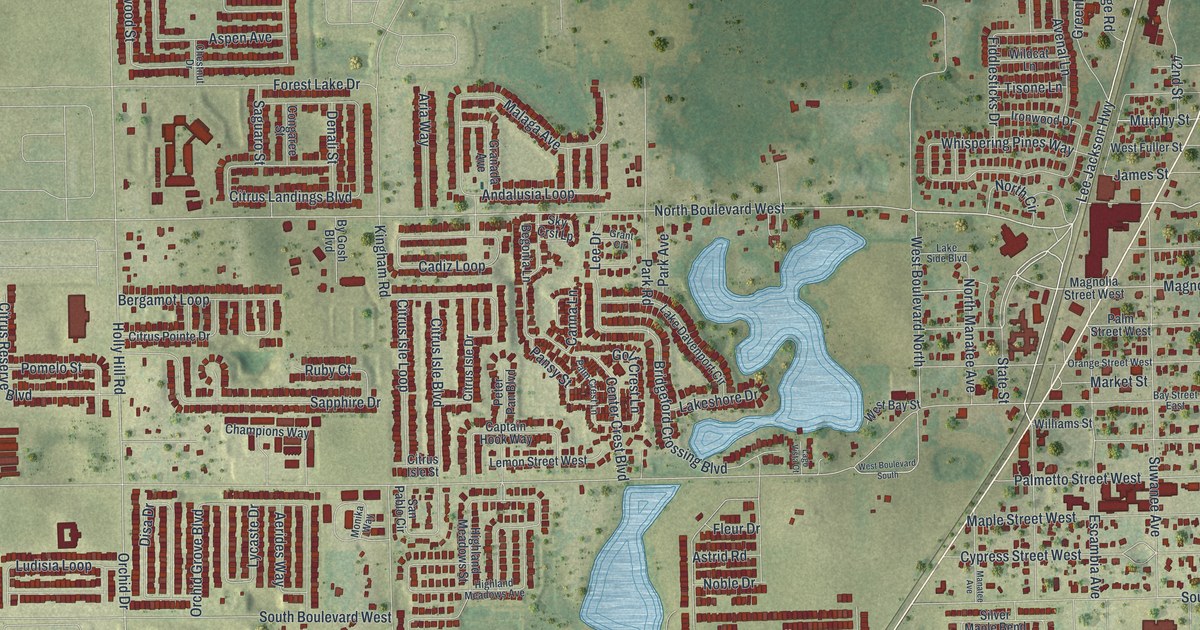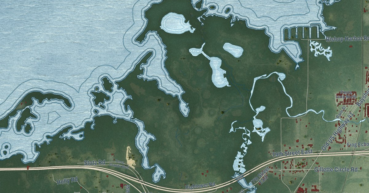
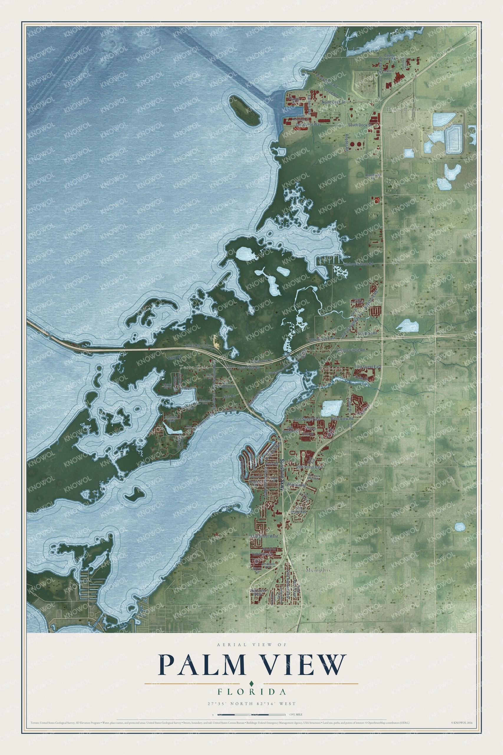
This beautifully detailed map of Palm View, Florida was created in 2026 using aerial imagery combined with modern topographical, census, street and landmark data. It’s a one-of-a-kind view of Palm View that combines accurate data with a vintage aesthetic. The map shows every building in its true location, many of the roads carry their names, and the shaded topographic relief shows the shape of the land.
Explore an aerial view of Palm View, Florida
On the map you’ll find Piney Point, Memphis, Rubonia, Terra Ceia, and Sunshine Skwy, along with 21 Avenue West, Bayshore Drive, Terra Ceia Road, Gillette Circle Road, 14th Avenue West, Center Road, Bayshore Road, and more. If you look closely you can even find your house accurately drawn in its correct location. Zoom in on the preview to look for yours.
Take a closer look at the Palm View map
Names on this map
These names are printed on this map.
Places: Piney Point, Memphis, Rubonia and Terra Ceia.
Streets and roads: Sunshine Skwy, 21 Avenue West, Bayshore Drive, Terra Ceia Road, Gillette Circle Road, 14th Avenue West, Center Road, Bayshore Road, First Street, Bishop Harbor Road, Old US Highway 41, 61st Street East.
More street names, A to Z
19th Avenue Drive, 20th Street West, 26th Street West, 33rd Street West, 39th Street East, 43rd Street Boulevard West, 43rd Street East, 46th Street Court East, 49th Street East, 58th Street East, 61 Street West, 63rd Street West, 65th Street West, 72nd Street West, 73rd Street East, 73rd Street West, 77th Street East, 79th Street East, Analynn Road, Arlington Road, Armstrong Road, Baystate Road, Beacon Road, Boyd Lane, Burns Road, Canal Drive, Canal Road, Coastal Street, County Line Road, Del Monte Way, Diet Road, East Avenue, Eastern Avenue, Elena Road, Fiesta Loop North, Fifth Avenue West, First Avenue East, Fourth Avenue West, Frog Echo Road, Grove Circle, Grove Street, Hard Road, Harlee Road, Hightower Road, Holly Road, Horseshoe Loop Road, Iroquois Road, Jasper Road, John East Potts Lane, Kapok Drive, Ken Hubbard Road, Kensico Road, Lakeview Drive, Liles Street, Miguel Bay Drive, North Dock Street, Palm Lane, Palm Street, Palm View Road, Pat Glass Boulevard, Piney Point Road, Reeder Road, Shady Lane, South Dock Street, South Terminal Street, Stotz Road, Terra Grande Boulevard, Third Avenue East, Third Avenue West, Third Street, Tranquility Lane, Tropic Drive.
See it on a wall
The Palm View map as a framed print. Swipe for more.


This beautifully detailed map of Palm View makes an attractive addition to your office, library, or den, and it can even be used to teach children the geography and history of the area. It also makes a great gift for anyone who grew up in Palm View or moved away. When you’re done exploring, click here to get your copy of the Palm View map.