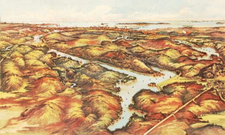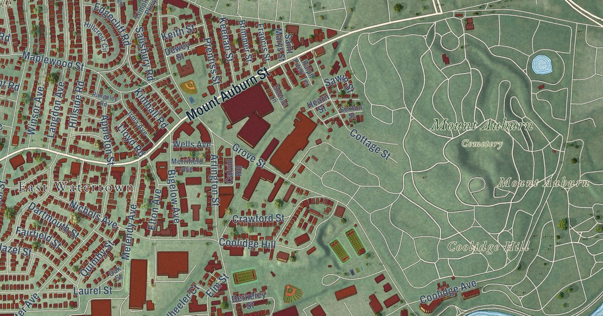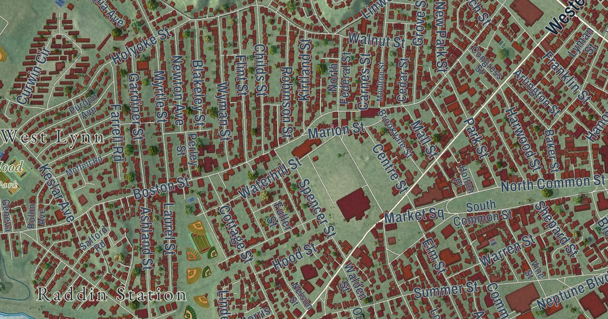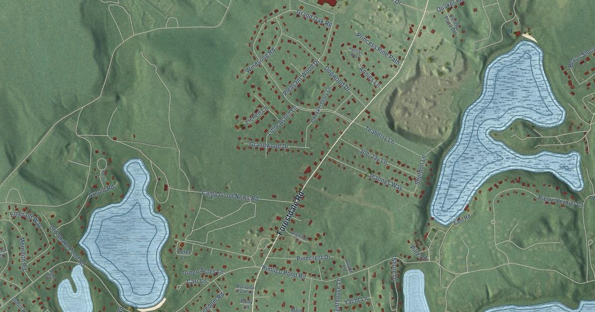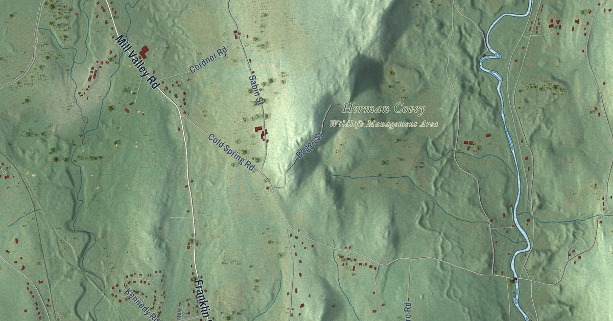
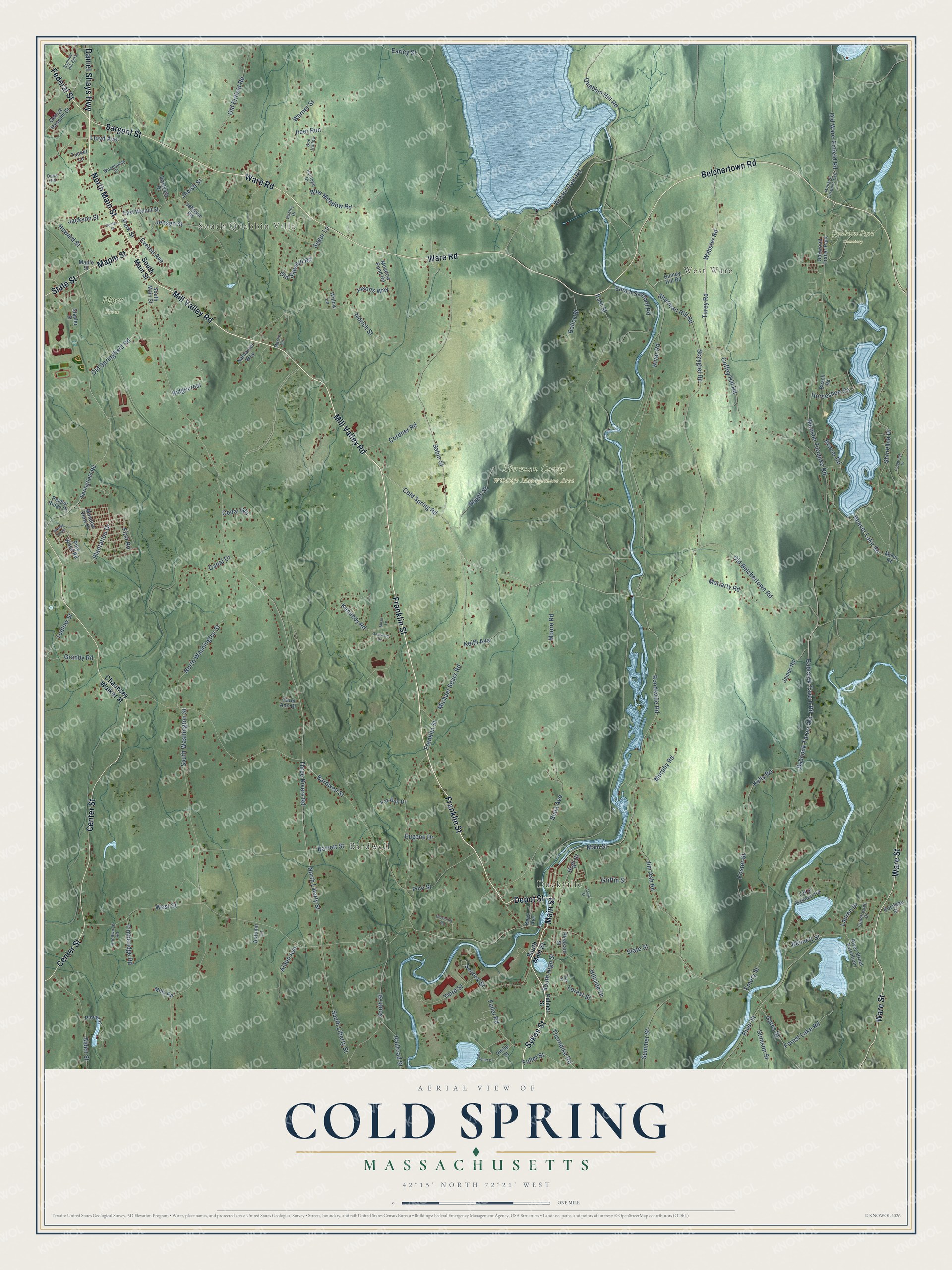
This beautifully detailed map of Cold Spring, Massachusetts was created in 2026 using aerial imagery combined with modern topographical, census, street and landmark data. It’s a one-of-a-kind view of Cold Spring that combines accurate data with a vintage aesthetic. The map shows every building in its true location, many of the roads carry their names, and the shaded topographic relief shows the shape of the land.
Explore an aerial view of Cold Spring, Massachusetts
On the map you’ll find South Quabbin Villa, West Ware, Duckville, Herman Covey Wildlife Management Area, Piper Farm, Quabbin Park Cemetery, and Bardwell, along with Franklin Street, Mill Valley Road, Main Street, Sykes Street, Depot Street, and more. If you look closely you can even find your house accurately drawn in its correct location. Zoom in on the preview to look for yours.
Did You Know?
From Internet Archive: "About a mile farther E., it receives from the S. the Cold Spring brook, near Shepard's paper mill."
Cold Spring is a community in Hampshire County.
Take a closer look at the Cold Spring map
Names on this map
These names are printed on this map.
Places: South Quabbin Villa, West Ware, Duckville, Herman Covey Wildlife Management Area, Piper Farm, Quabbin Park Cemetery, Bardwell and Oakwood Trailer Park.
Streets and roads: Franklin Street, Mill Valley Road, Main Street, Sykes Street, Depot Street, North Main Street, Daniel Shays Highway, Federal Street, Sargent Street, Ware Road, Maple Street, Belchertown Road.
More street names, A to Z
Alden Avenue, Alden Street, Aldrich Street, Autumn Lane, Avenue North, Babcock Tarern Road, Babcock Tavern Road, Baggs Street, Ballou Street, Bardwell Street, Barrett Street, Beach Road, Beaver Lake Road, Beaver Road, Bennett Street, Blue Meadow Road, Bondsville Road, Bumpy Hill Road, Canal Drive, Carol Ann Drive, Cavin Street, Cedar Gln, Center Street, Chauncey Walker Street, Cloverhill Road, Coffey Hill Road, Coldbrook Drive, Cold Spring Road, Cordner Road, Countryside Drive, Dana Hill, Deer Run, Doe Hollow, Earley Street, East Street, Eastview Drive, East Walnut Street, Edelcy Drive, Emery Street, Enoch Sanford Road, Eugene Drive, Everett Avenue, First Road, Forest Lake Road, Forest Street, Foster Street, Fox Run Drive, Fuller Road, Fuller Street, Gates Street, George Hannum Street, Granby Road, Griffin Street, Heritage Drive, High Street, Hillside Drive, Horseshoe Circle, Howard Street, Jabish Street, Jackson Street, James Road, Jasons Way, Jensen Street, Jim Ash Road, Johnson Road, Keith Avenue, Kelly Road, Kennedy Road, Keys Avenue, Knollwood Road, Lauren Drive, Lloyd Avenue, Ludlow Street, Martin Circle, Meadow Pond Road, Meadow View Drive, Michael Sears Road, Mills Road, Miner Road, Monson Turnpike Exit, Monson Turnpike Road, Moore Road, Moriarty Road, Moss Lane, Murphy Road, Nathaniel Way, North Liberty Street, North Washington Street, Oak Street, Oakwood Drive, Off of Bennett Road, Old Belchertown Road, Old Enfield Road, Old Sawmill Road, Old Springfield Road, Old Ware-Enfield Road, Palmer Street, Park Street, Pepper Ridge Drive, Philip Street, Pine Street, Pine Wood Road, Piney Lane, Plantation Drive, Pleasant Street, Quabbin Hill Road, Railroad Street, Ridgecrest, River Road, River Street, River Street Extention, Rondeau Street, Sabin Street, Sczygiel Road, Second Street, Segur Lane, Shea Avenue, Sherman Hill Road, Shoreline Drive, South High Street, South Liberty Street, South Main Street, South Street, South Washington Street, Springfield Road, Stadler Street, State Street, Stimson Street, Summer Hill Ests, Summer Street, Summit Drive, Third Street, Thorndike Road, Three Rivers Road, Timberidge Road, Tucker Lane, Turey Road, Ware Street, Warner Street, Webster Road, West Street, Willow Lane, Winsor Dam Road, Woodhaven Drive.
See it on a wall
The Cold Spring map as a framed print. Swipe for more.


This beautifully detailed map of Cold Spring makes an attractive addition to your office, library, or den, and it can even be used to teach children the geography and history of the area. It also makes a great gift for anyone who grew up in Cold Spring or moved away. When you’re done exploring, click here to get your copy of the Cold Spring map.