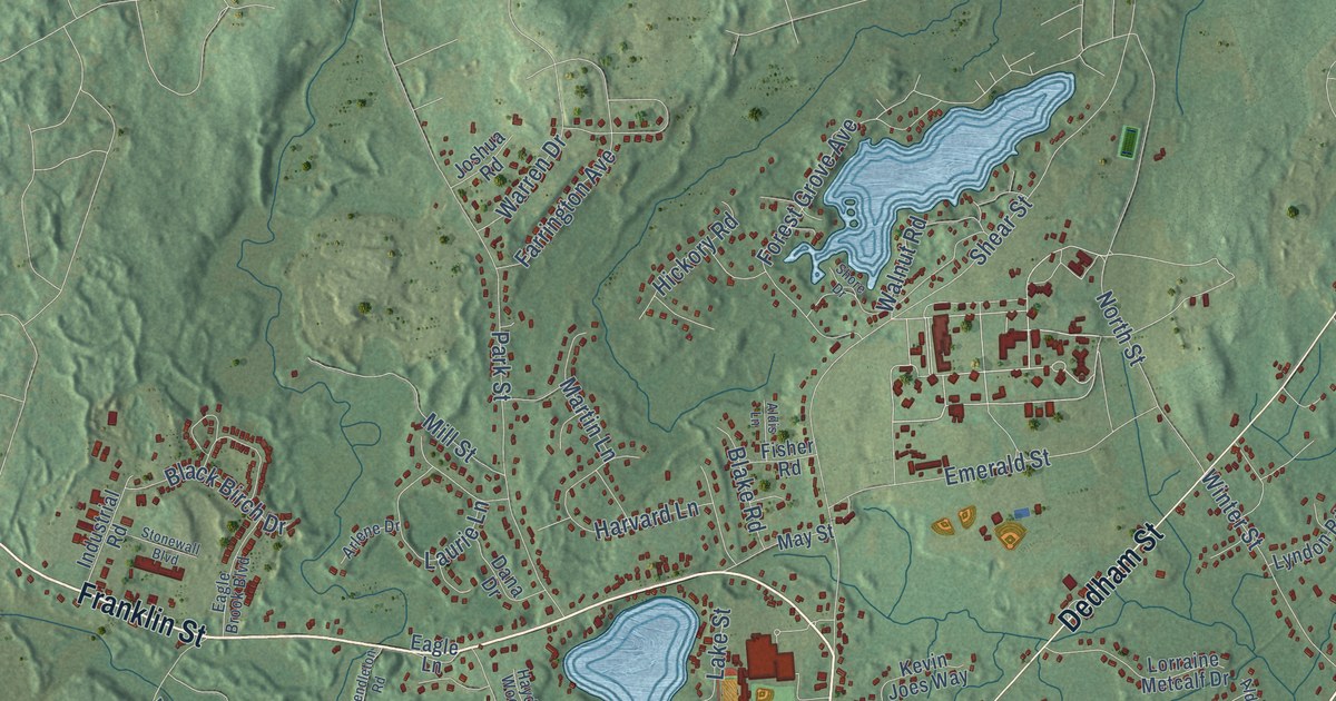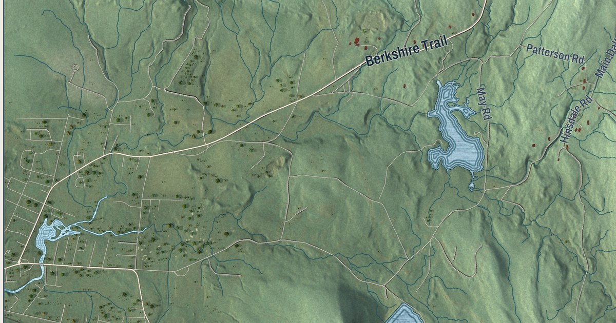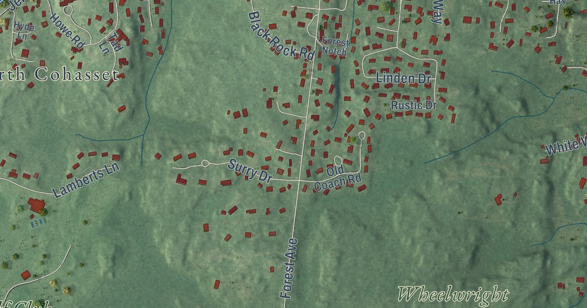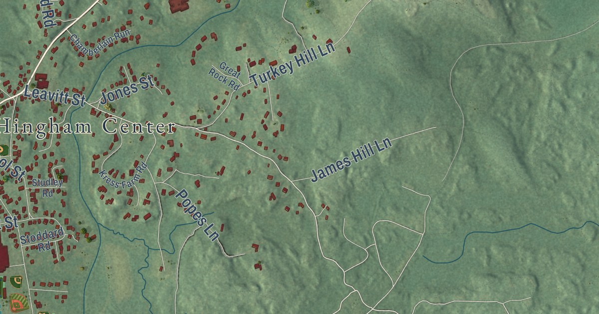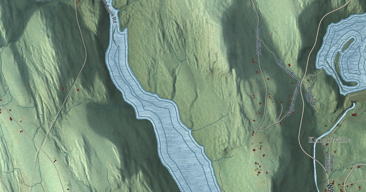
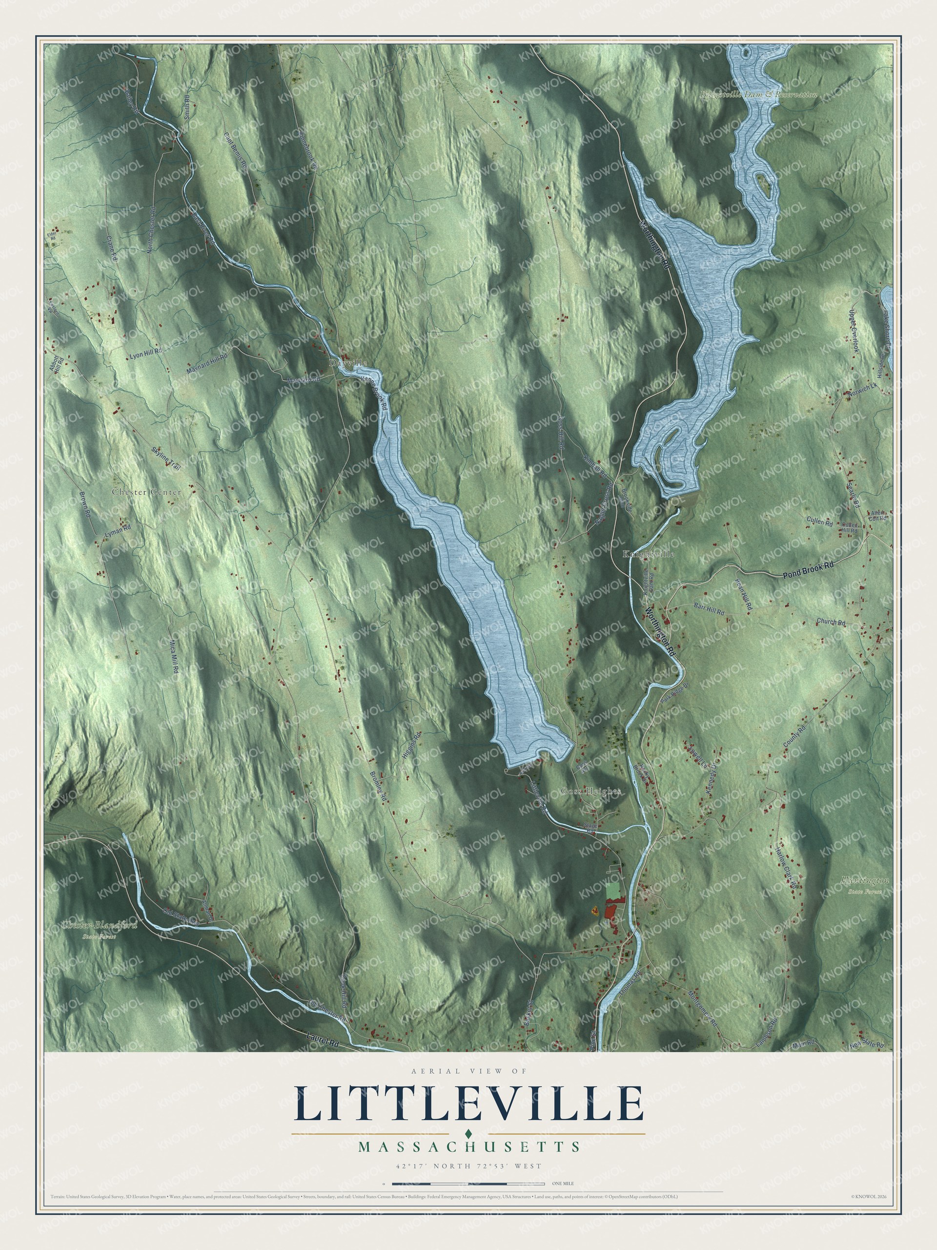
This beautifully detailed map of Littleville, Massachusetts was created in 2026 using aerial imagery combined with modern topographical, census, street and landmark data. It’s a one-of-a-kind view of Littleville that combines accurate data with a vintage aesthetic. The map shows every building in its true location, many of the roads carry their names, and the shaded topographic relief shows the shape of the land.
Explore an aerial view of Littleville, Massachusetts
On the map you’ll find Goss Heights, Chester Center, Chester-Blandford State Forest, Huntington State Forest, Knightville Dam & Reservation, Dayville, Knightville, and Upper Overlook, along with Worthington Road, Pond Brook Road, Laurel Road, Barr Hill Road, and more. If you look closely you can even find your house accurately drawn in its correct location. Zoom in on the preview to look for yours.
Did You Know?
From Internet Archive: "There is one at North Chester, one at Littleville, one between Dayville and Littleville, one near the Bromley place on the road from Norwich Bridge to Chester Centre, one in the Ingalls neighborhood, the Bell family burial lot, the old cemetery at Chester Factories, still in use. and the Pine Hill cemetery recently established."
Littleville is a community in Hampden County.
Take a closer look at the Littleville map
Names on this map
These names are printed on this map.
Places: Goss Heights, Chester Center, Chester-Blandford State Forest, Huntington State Forest, Knightville Dam & Reservation, Dayville and Knightville.
Streets and roads: Worthington Road, Pond Brook Road, Laurel Road, Barr Hill Road, Upper Overlook, Bean Hill Road, Goss Hill Road, Littleville Road, Old Chester Road, Skyline Trail, Bromley Road, East River Road.
More street names, A to Z
Abbott Hill Road, Allen Coit Road, Allman Drive, Bailey Road, Basket Street, Brookside Glen, Brown Road, Capt Bemis Road, Church Road, Cook Hill Road, County Road, Crane Road, Cullen Hill Road, Cullen Road, Eastern Vw, Elder Road, Goss Avenue, Harlow Clark Road, Higgins Road, Hillside Drive, Huntington, Kenne Brook Road, Kennedy Drive, Kimball Road, Kinnebrook Road, Knightville Dam Road, Lake Shore Drive, Lambson Road, Lowell Lane, Lyman Road, Lyon Hill Road, Main Road, Maynard Hill Road, Maynard Road, Mica Mill Road, Montgomery Road, Nagler Cross Road, New State Road, North Chester Road, Norwich Lk, Old State Highway, Park Ridge Drive, Pine Street, Rocky Brook Drive, Searle Road, Smith Road, Stage Road, Thomas Road.
See it on a wall
The Littleville map as a framed print. Swipe for more.


This beautifully detailed map of Littleville makes an attractive addition to your office, library, or den, and it can even be used to teach children the geography and history of the area. It also makes a great gift for anyone with Littleville roots. When you’re done exploring, click here to get your copy of the Littleville map.