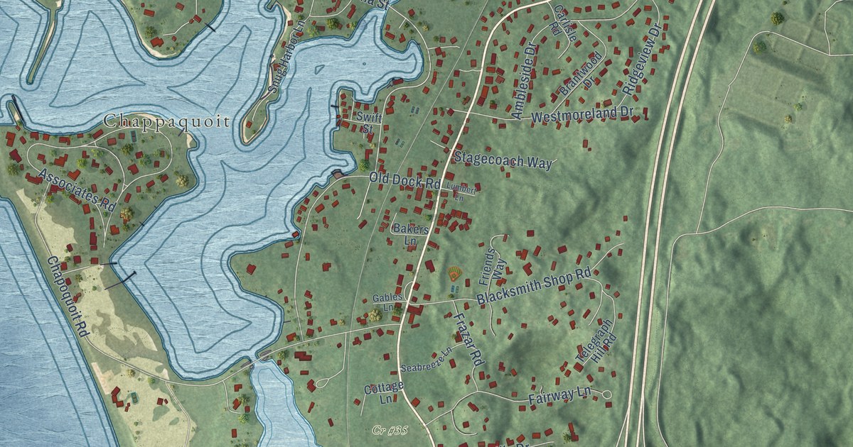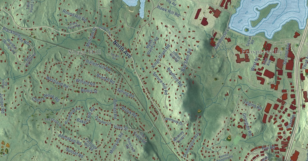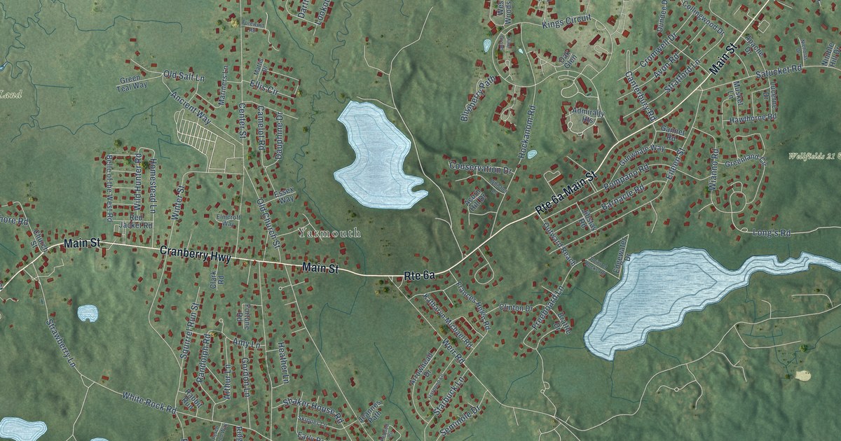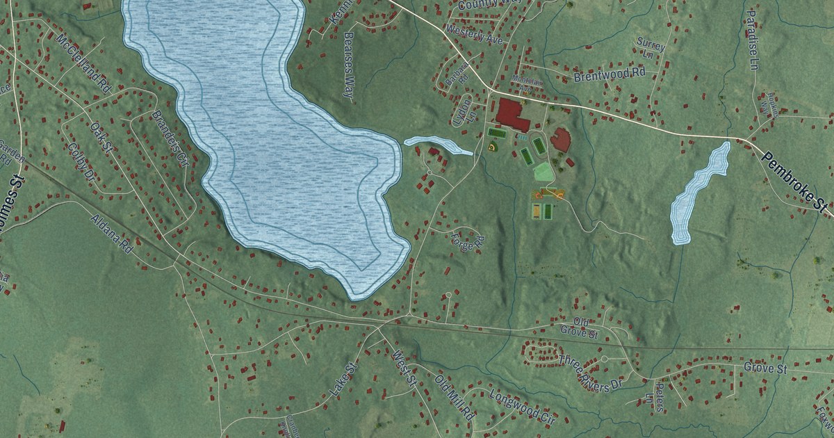
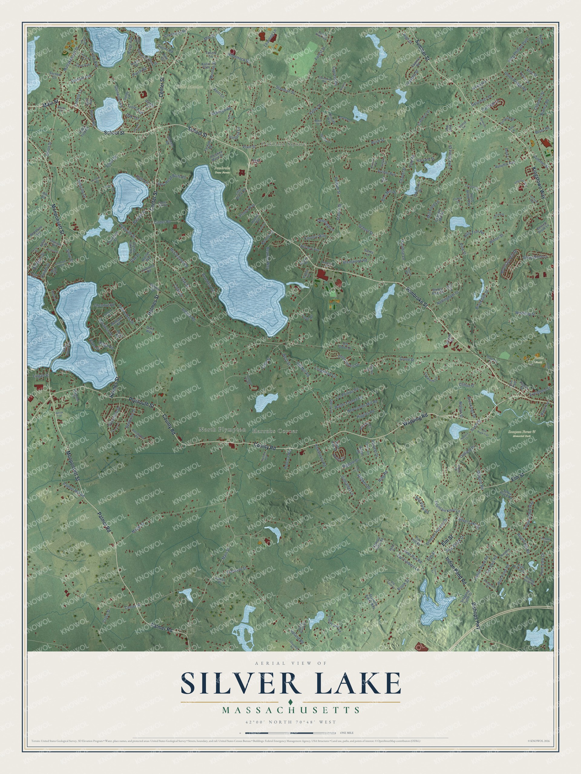
This beautifully detailed map of Silver Lake, Massachusetts was created in 2026 using aerial imagery combined with modern topographical, census, street and landmark data. It’s a one-of-a-kind view of Silver Lake that combines accurate data with a vintage aesthetic. The map shows every building in its true location, many of the roads carry their names, and the shaded topographic relief shows the shape of the land.
Explore an aerial view of Silver Lake, Massachusetts
On the map you’ll find Pembroke Town Forest, Pottle Field, Sampson Forest & Memorial Park, Tubbs Meadow, North Plympton, Oakland Square, and Harrubs Corner, along with School Street, Pembroke Street, Wapping Road, Palmer Road, County Road, and more. If you look closely you can even find your house accurately drawn in its correct location. Zoom in on the preview to look for yours.
Did You Know?
From Internet Archive: "Kingston (centre) and Silver Lake (in the northwest) are the postal villages and railroad stations."
Silver Lake is a community in Plymouth County.
Take a closer look at the Silver Lake map
Names on this map
These names are printed on this map.
Places: Pembroke Town Forest, Pottle Field, Sampson Forest & Memorial Park, Tubbs Meadow, North Plympton, Oakland Square, Harrubs Corner, Bonnie Brier Park and Sheffield Park.
Streets and roads: School Street, Pembroke Street, Wapping Road, Palmer Road, County Road, Monponsett Street, Center Street, Holmes Street, Summer Street, Elm Street, Plymouth Street, Kingstown Way.
More street names, A to Z
Aldana Road, Alvern Road, Annawon Drive, Antilla Court, Arbor Hills Drive, Archer Avenue, Autumn Avenue, Autumn Lane, Baker Street, Barbara Road, Bartlett Street, Bassett Brook Lane, Bearses Way, Beechwood Road, Bianca Road, Birch Street, Bishops Highway, Blackbird Drive, Bluejay Way, Bog View Road, Bolas Road, Bow Street, Brandeis Circle, Bravender Road, Brentwood Road, Brookdale Street, Brookings Drive, Brook Street, Carol Avenue, Carriage Lane, Center Hill Road, Chandler Mill Drive, Chandler Street, Chapel Street, Charles Street, Chestnut Road, Christina Marie Drive, Churchill Road, Cinder Road, Claremont Road, Clearwater Drive, Clifton Drive, Clinton Lane, Colby Drive, Cooke Avenue, Country Club Way, Country Way, Cranberry Drive, Cranberry Knoll Street, Cranberry Road, Crescent Street, Crimson Harvest Drive, Cross Street, Crown Hill, Crystal Lake Road, Cypress Road, Cyril Avenue, Dana Drive, Dean Drive, Deerfield Lane, Deer Run, Deer Run Road, Delia Way, Delorenzo Drive, Doris Road, Dukes Brook Road, Dwight Street, Edward Drive, Elis Lane, Elmer Street, Erica Lane, Erin Path, Evergreen Street, Fairview Avenue, Farnum Road, Felicia Terrace, Ferndale Drive, Fordville Road, Forest Street, Forge Road, Fountain Knoll Lane, Fox Den Road, Foxtail Drive, Foxworth Lane, Franklin Street, Furnace Colony Drive, Furnace Road, Garden Road, Gilfeather Lane, Glenwood Road, Gorham Avenue, Granville Baker Way, Grove Street, Gurney Drive, Halifax Trail, Hall's Brook Way, Hancock Street, Harvard Street, Harvest Drive, Hatch Road, Hawthorne Road, Hemlock Road, Higgins Road, High Avenue, High Pines Drive, High Street, Hill Road, Hitty Tom Road, Hobomock Street, Holly Circle, Holly Street, Holmes Avenue, Hopkins Way, Indian Pond Road, Jaclyn Lane, Jeanette Drive, Joseph Street, Kallio Path, Kennie Lane, Kerri Lane, King Phillips Path, Lake Shore Drive, Lakeshore Drive, Lake Street, Lantern Lane, Lawrence Road, Learning Lane, Lingan Street, Lionel Lane, Little Brook Road, Longwood Circle, Lot Phillips Road, Lydia Ford Road, Lydon Lane, Madison Road, Main Street, Maple Avenue, Maple Street, Marilyn Way, Mattakeesett Street, McClelland Road, Meeting House Road, Millgate Road, Milliken Drive, Mill Pond Lane, Mill Street, Monroe Street, Montclair Avenue, Mountain Ash Drive, Mulberry Drive, Nelson Street, Newcombs Mill Road, Nobadeer Circle, Nottingham Drive, Oak Place, Oak Street, Oak Terrace, Ocean Avenue, Oceanus Avenue, Old Farm Lane, Old Farm Road, Oldfield Drive, Old Grove Street, Old Mill Road, Oletree Road, Ortolani Circle, Owls Head Bluff Road, Palmer Mill Road, Paradise Lane, Parker Place, Pelham Street, Penny Lane, Perkins Road, Peters Lane, Pilgrim Street, Pine Brook Drive, Pinebrook Drive, Pine Circle, Pine Hill Road, Pine Mill Drive, Pine Street, Pine Street North, Plain Street, Podbury Lane, Pond View Drive, Pottle Street, Prince Way, Priscilla Drive, Raymond Avenue, Rebecca Road, Rebecca Way, Redwood Drive, Reed Lane, Ridge Avenue, Ridge Road, Rigdale Drive, Ring Road, Robin Terrace, Rosanna Drive, Rosewood Drive, Round Hill Road, Ryans Lane, Sachem Circle, Samuel Fuller Road, Sandy Lane, Sawmill Road, Sherry Lane, Silver Birch Lane, Silver Lake Drive, Snapping Turtle Drive, Snow Street, South Street, Sparrow Lane, Squantum Avenue, Standish Street, Station Street, Stetson Avenue, Stockade Path, Stoney Point Drive, Strawberry Lane, Suffolk Street, Suomi Road, Surrey Lane, Sycamore Drive, Sylvia Place Road, Tall Timbers Lane, Thompson Street, Three Rivers Drive, Toole Trail, Treetop Lane, Trout Brook Trail, Trout Farm Lane, Twin Lakes Drive, Union Bridge Road, Union Street, University Avenue, Upland Road, Valley Street, Victoria Lane, Vine Street, Walter Faunce Road, Waltham Street, Wellington Lane, Westerly Avenue, West Street, White Island Road, White Street, Wilder Road, William Avenue, Winter Street, Winthrop Street, Wolf Pond Road, Woodbine Avenue, Yale Road.
See it on a wall
The Silver Lake map as a framed print. Swipe for more.


This beautifully detailed map of Silver Lake makes an attractive addition to your office, library, or den, and it can even be used to teach children the geography and history of the area. It also makes a great gift for anyone who grew up in Silver Lake or moved away. When you’re done exploring, click here to get your copy of the Silver Lake map.