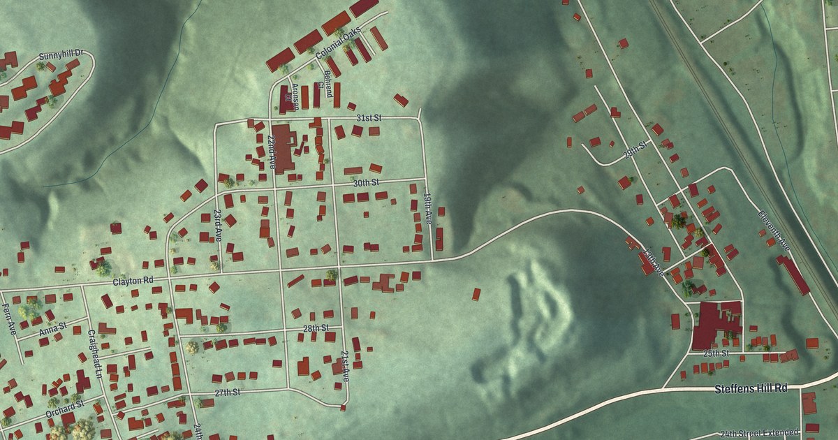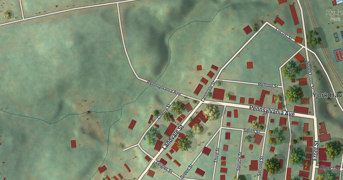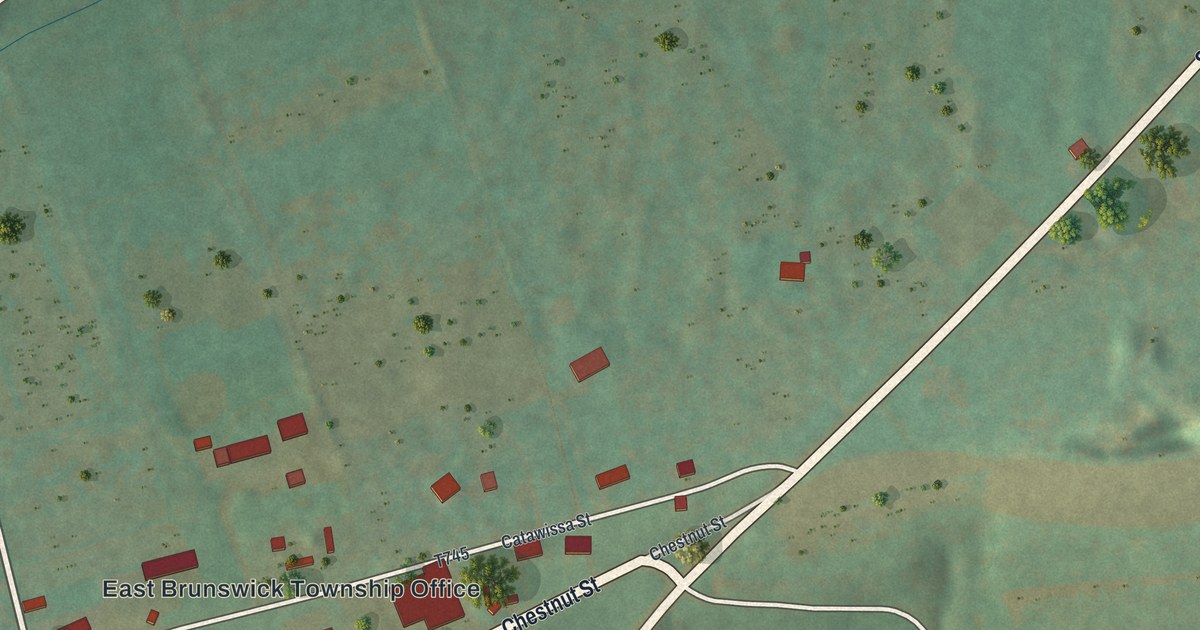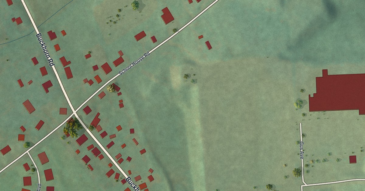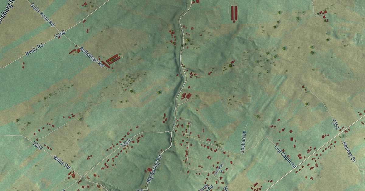
This beautifully detailed map of Big Spring, Pennsylvania was created in 2026 using aerial imagery combined with modern topographical, census, street and landmark data. It’s a one-of-a-kind view of Big Spring that combines accurate data with a vintage aesthetic. The map shows every building in its true location, many of the roads carry their names, and the shaded topographic relief shows the shape of the land.
Explore an aerial view of Big Spring, Pennsylvania
On the map you’ll find Stoughstown and Hays Grove, along with Shippensburg Road, Fairfield Avenue, East Main Street, Carlisle Newville Road, Centerville Road, King Street, Ritner Highway, Greenspring Road, Walnut Bottom Road, Newville Road, and more. If you look closely you can even find your house accurately drawn in its correct location. Zoom in on the preview to look for yours.
Did You Know?
From Internet Archive: "Having heard of the Scotch-Irish settlement in the Cumberland valley, in Pennsylvania, they proceeded to the head of the Big Spring, where they were welcomed by numerous Presbyterian friends."
Big Spring is a community in Cumberland County.
Take a closer look at the Big Spring map
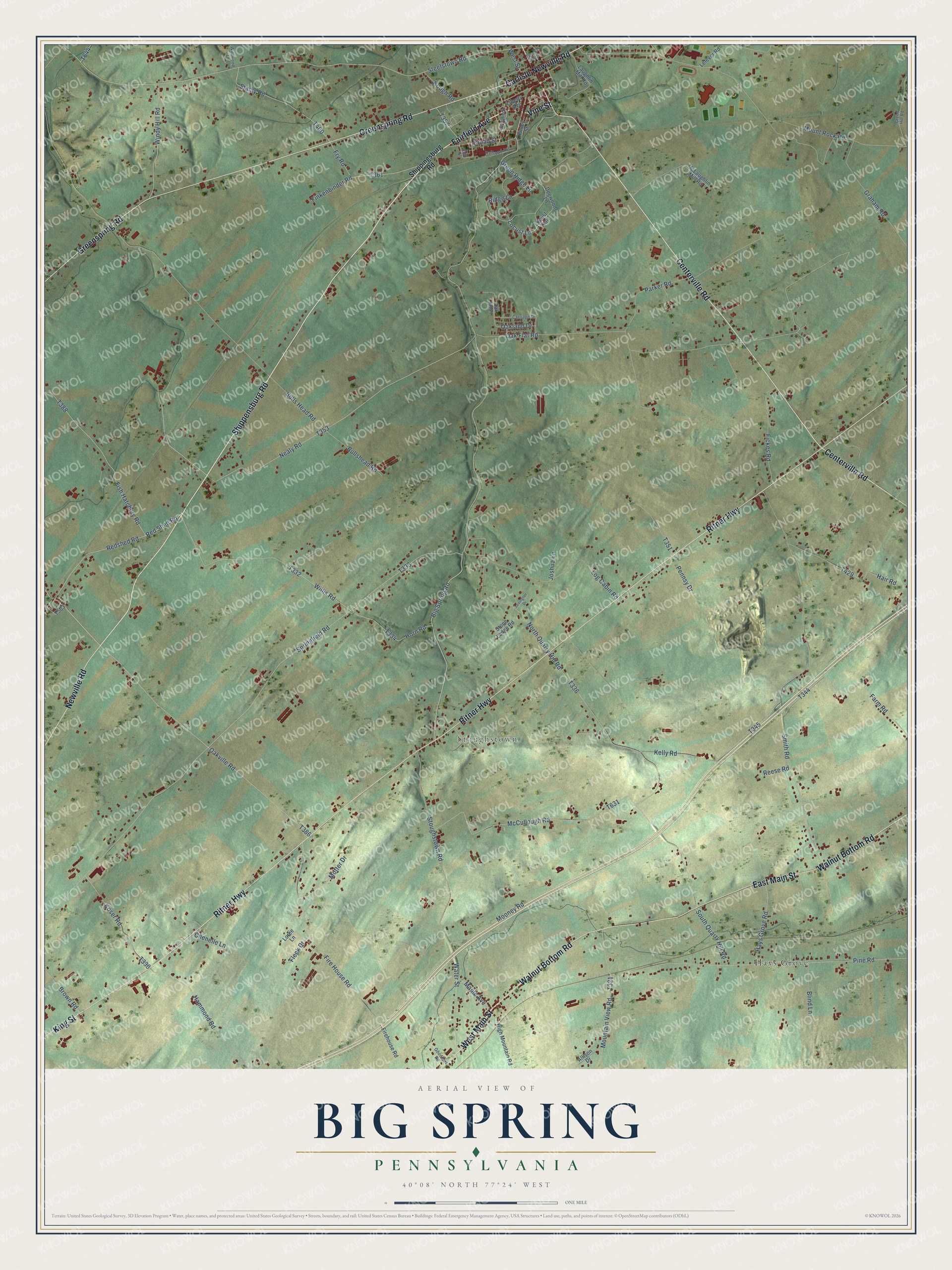
Names on this map
These names are printed on this map.
Places: Stoughstown and Hays Grove.
Streets and roads: Shippensburg Road, Fairfield Avenue, East Main Street, Carlisle Newville Road, Centerville Road, King Street, Ritner Highway, Greenspring Road, Walnut Bottom Road, Newville Road, West Main Street, Vine Street.
More street names, A to Z
Allison Drive, Big Spring Road, Blind Lane, Broad Street, Brown Road, Bulls Head Road, Bullshead Road, Carriage Drive, Chenelle Lane, Dogwood Lane, Farm Road, Fickes Road, Finkenbinder Road, Finley Street, Fire House Road, Firehouse Road, Fish Hatchery Road, Fleck Drive, Fry Road, Goodhart Road, Graham Road, Green Hill Road, Green Ridge Lane, Hair Road, Hammond Road, Hays Grove Road, High Mountain Road, Horn Road, Joshua Lane, Kelly Road, Koser Road, Kough Road, Laughlin Mill Road, Lefever Road, Lexington Drive, Liberty Avenue, Locust Lane, Locust Trail, Log Cabin Road, Loree Lane, Maple Avenue, McCullough Road, McLaughlin Mill Road, Mooney Road, Motter Drive, Mountain View Road, Mount Rock Road, Nealy Road, North Alley, North Quarry Hill Road, Oak Flat Road, Oak Knoll, Oakland Drive, Oakville Road, Parker Road, Pennsy Drive, Pine Road, Railroad Avenue, Redshed Road, Red Shed Road, Reese Road, Rich Street, Ridge Lane, Shippingsburg Road, Smith Road, South Quarry Hill Road, Springfield Avenue, Springfield Road, Stamy Road, Steelstown Road, Stone Ledge Road, Stoughstown Road, Water Street, West Street, Wildwood Lane, Willis Road, Windy Hill Road.
See it on a wall
The Big Spring map as a framed print. Swipe for more.


This beautifully detailed map of Big Spring makes an attractive addition to your office, library, or den, and it can even be used to teach children the geography and history of the area. It also makes a great gift for someone who left Big Spring and still calls it home. When you’re done exploring, click here to get your copy of the Big Spring map.