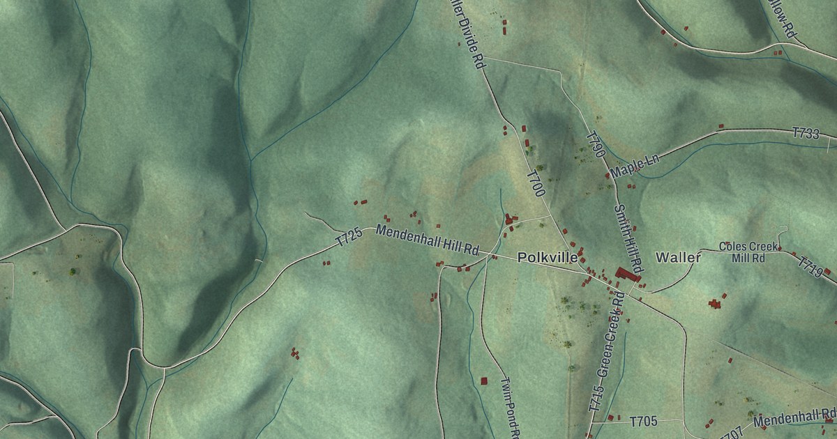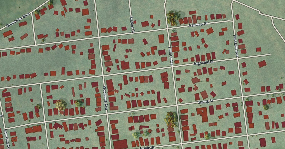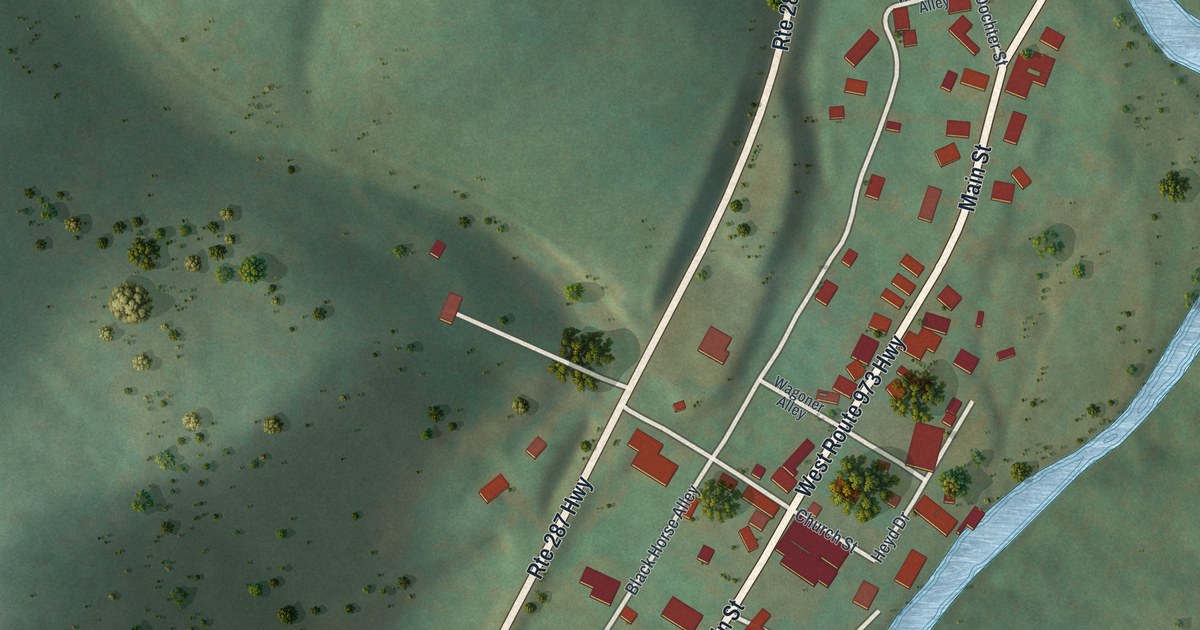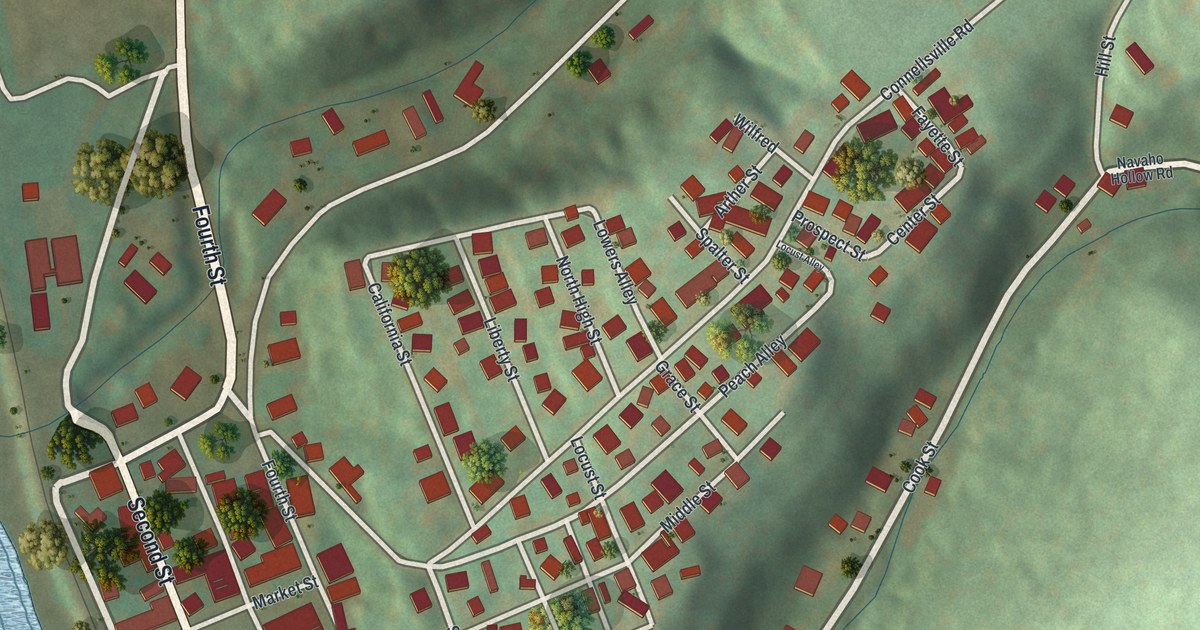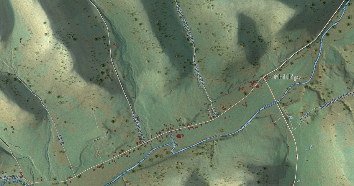
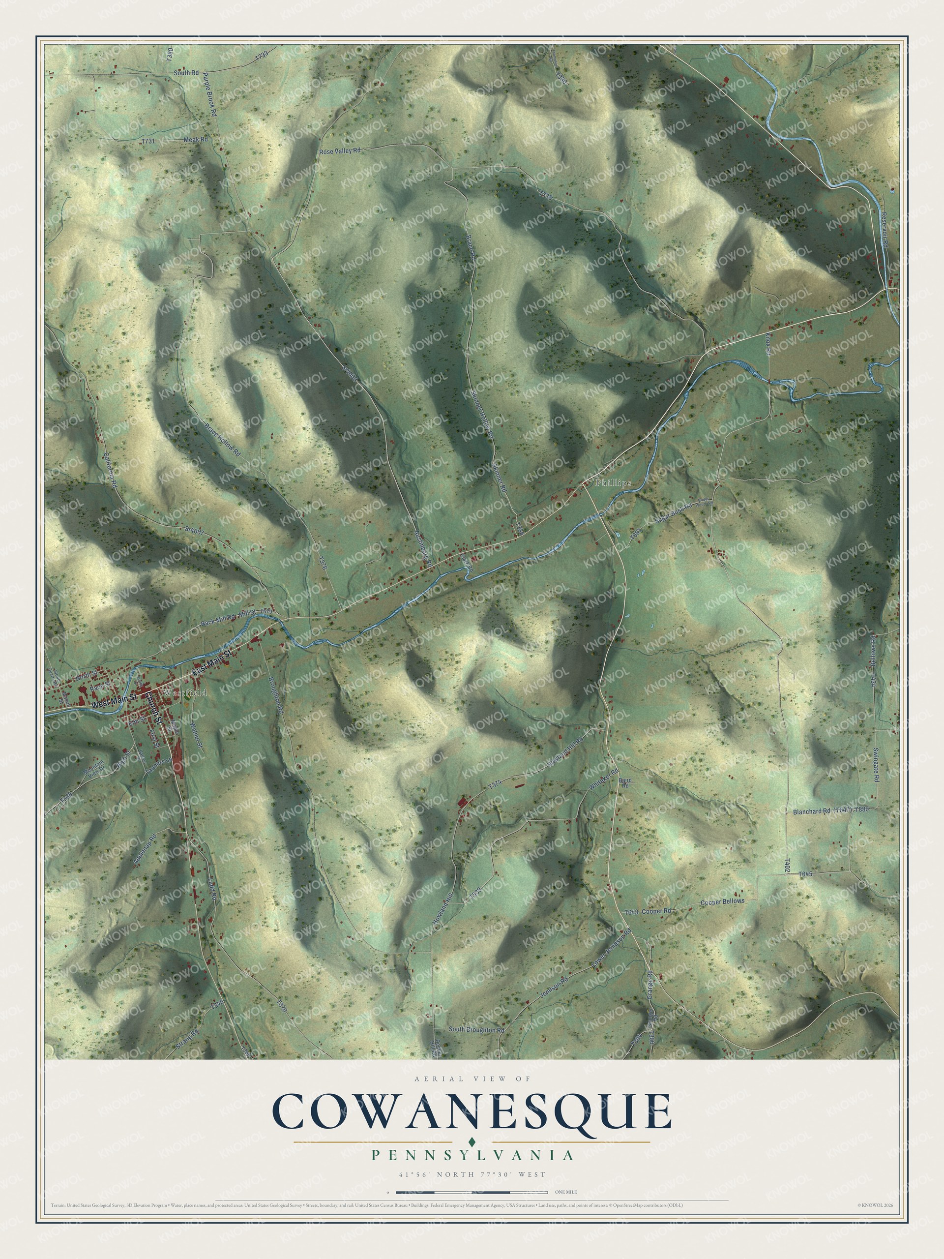
This beautifully detailed map of Cowanesque, Pennsylvania was created in 2026 using aerial imagery combined with modern topographical, census, street and landmark data. It’s a one-of-a-kind view of Cowanesque that combines accurate data with a vintage aesthetic. The map shows every building in its true location, many of the roads carry their names, and the shaded topographic relief shows the shape of the land.
Explore an aerial view of Cowanesque, Pennsylvania
On the map you’ll find Westfield, Phillips, and Cooper Bellows, along with Church Street, East Main Street, West Main Street, Grange Road, Austinburg Road, Purple Brook Road, North Street, and more. If you look closely you can even find your house accurately drawn in its correct location. Zoom in on the preview to look for yours.
Did You Know?
From the 1897 History of Tioga County, Pennsylvania: "About 1795, having sold his possession to Uriah Spencer, he went up thg Cowanesque and made a settlement at Osceola, on Holden brook, which is named in his honor."
Cowanesque is a community in Tioga County.
Take a closer look at the Cowanesque map
Names on this map
These names are printed on this map.
Places: Westfield and Phillips.
Streets and roads: Church Street, East Main Street, West Main Street, Grange Road, Cooper Bellows, Austinburg Road, Purple Brook Road, North Street, Blanchard Road, Skinner Road, Brace Hollow Road, Sr4009.
More street names, A to Z
Applenap Road, Back Mill Road, Baird Road, Balfour Drive, Bellows Road, Brace Road, Broughton Road, California Road, Clark Road, Cooper Road, Decker Hill Road, Elm Street, First Street, Granger Road, High Street, Howland Hill, Howland Hill Road, Jemison Road, Knox Road, Ladd Road, Lower Jemason Road, Maple Street, Mason Street, Meak Road, Mill Street, Mountain View Drive, Prides Woods Road, Race Street, Reservoir Road, Rose Valley Road, Skinner Hollow Road, South Broughton Road, South Road, Sr4007, Stone Quarry Road, Strang Road, Strang Street, Sugar Bush Road, Swingate Road, Tanners Lane, Thompkins Road, Walnut Street, Whitaker Road.
See it on a wall
The Cowanesque map as a framed print. Swipe for more.


This beautifully detailed map of Cowanesque makes an attractive addition to your office, library, or den, and it can even be used to teach children the geography and history of the area. It also makes a great gift for someone who left Cowanesque and still calls it home. When you’re done exploring, click here to get your copy of the Cowanesque map.