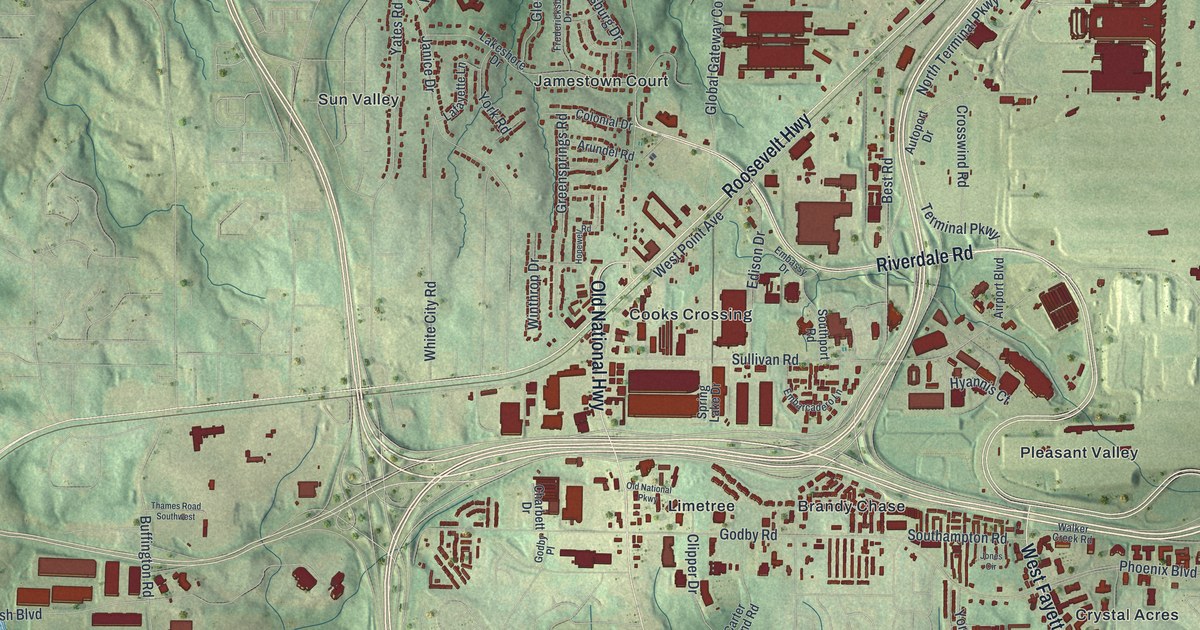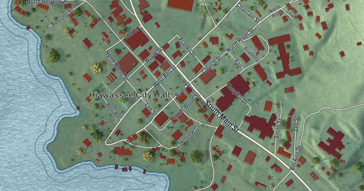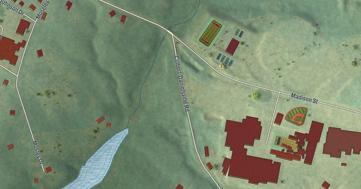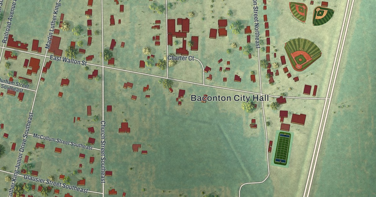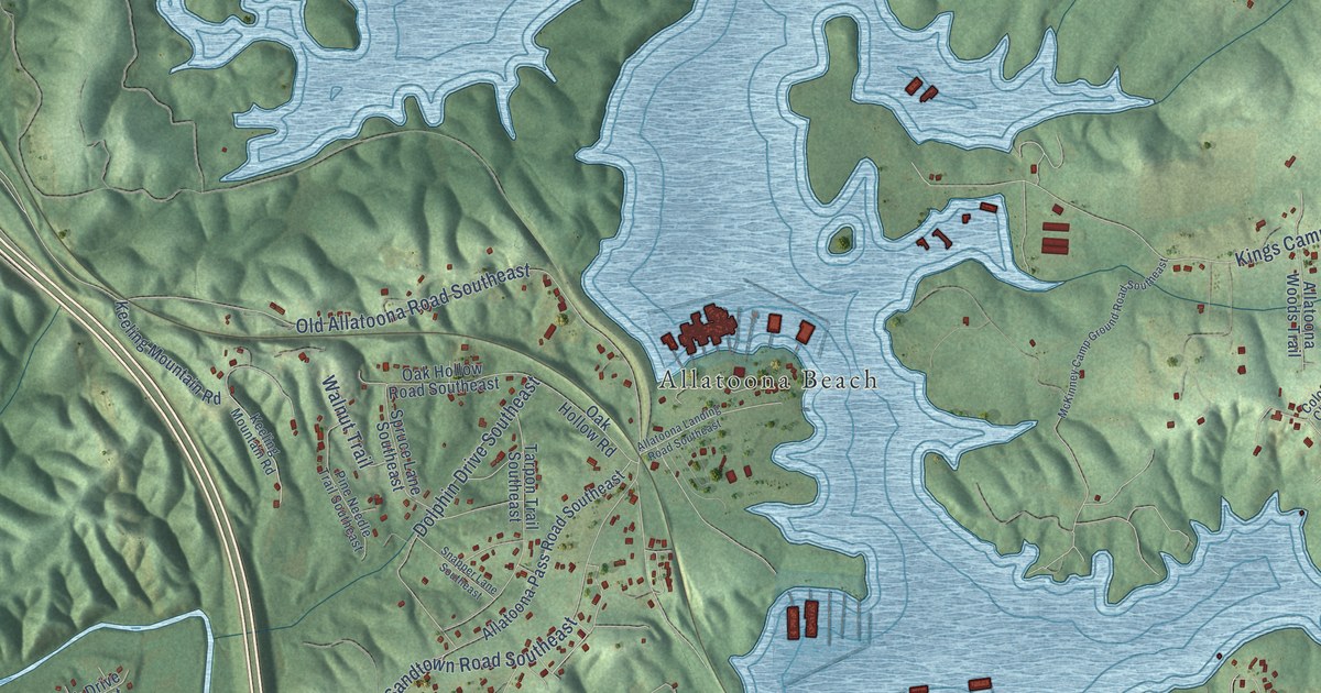
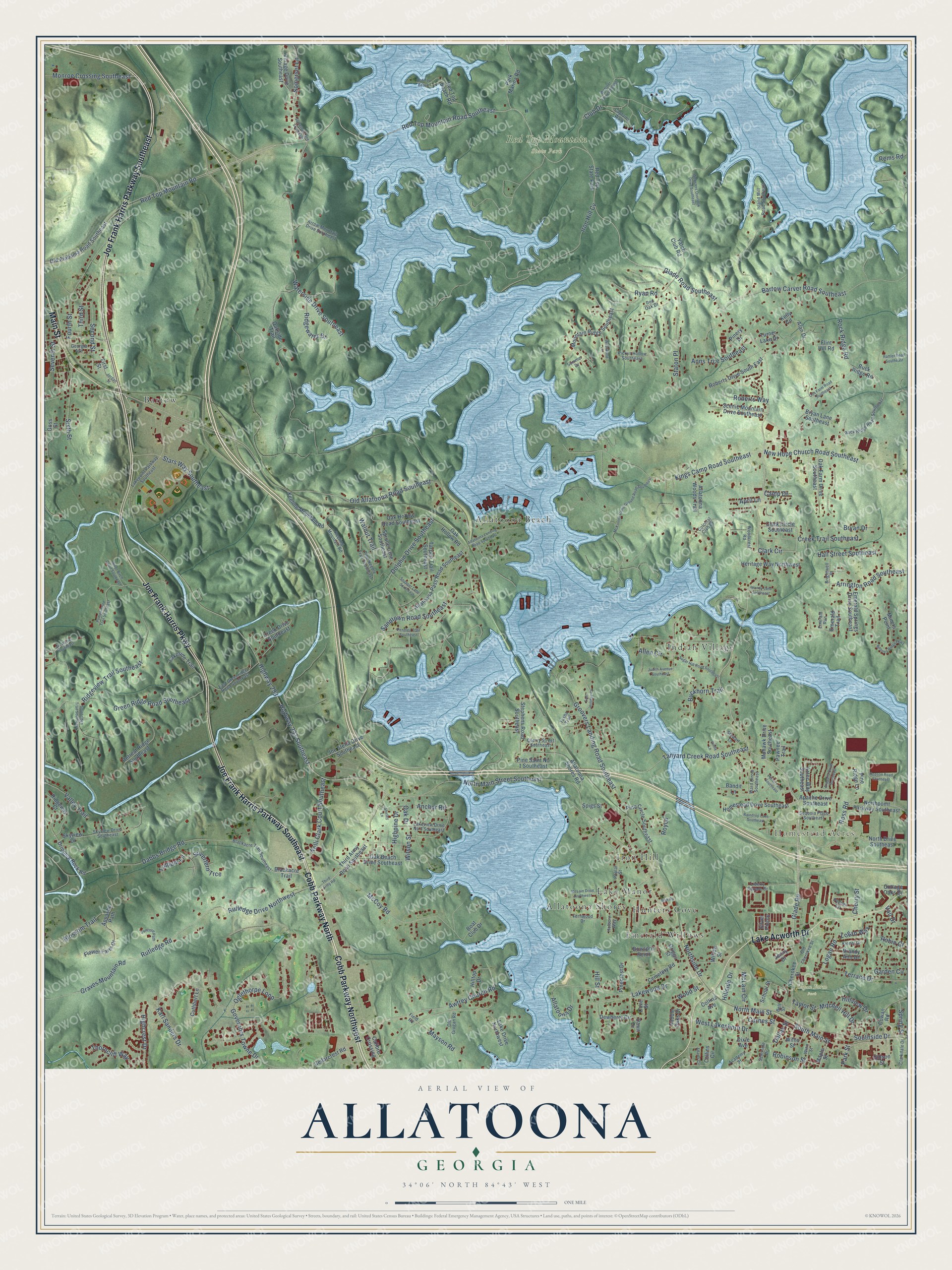
This beautifully detailed map of Allatoona, Georgia was created in 2026 using aerial imagery combined with modern topographical, census, street and landmark data. It’s a one-of-a-kind view of Allatoona that combines accurate data with a vintage aesthetic. The map shows every building in its true location, many of the roads carry their names, and the shaded topographic relief shows the shape of the land.
Explore an aerial view of Allatoona, Georgia
On the map you’ll find Homestead Acres, Logan Farm Park, Red Top Mountain State Park, Bartow, Allatoona Beach, Allatoona Shores, Indian Village, Iron Hill, Emerald Willows, Lake Manor, and Hunters Cove, along with Cobb Parkway Northwest, and more. If you look closely you can even find your house accurately drawn in its correct location. Zoom in on the preview to look for yours.
Did You Know?
From Internet Archive: "In afternoon headquarters established near Moore's house (Hardee's headquarters), near a crossing of railroad and lower Allatoona road, one mile and a half from Allatoona."
Allatoona is a community in Bartow County.
Take a closer look at the Allatoona map
Names on this map
These names are printed on this map.
Places: Homestead Acres, Logan Farm Park, Red Top Mountain State Park, Bartow, Allatoona Beach, Allatoona Shores, Indian Village, Iron Hill, Emerald Willows, Lake Manor, Hunters Cove and Red Top State Park.
Streets and roads: Cobb Parkway Northwest, Main Street, Joe Frank Harris Parkway, Joe Frank Harris Parkway Southeast, Lake Acworth Drive, Cobb Parkway North, Glade Road Southeast, Glade Road, Awtrey Church Road, Red Top Mountain Road Southeast, Highway 293 Southeast, Highway 293.
More street names, A to Z
Academy Street, Adams Circle, Alan Drive, Allatoona Drive, Allatoona Landing Road Southeast, Allatoona Pass Road Southeast, Allatoona Shores Road, Allatoona Woods Trail, Allen Circle, Anchor Road, Anns Trce Southeast, Apache Drive Southeast, Appache Path, April Lane, Arapaho Drive Southeast, Arrington Road Southeast, Arrow Mountain Drive Southeast, Aztec Way Southeast, Bandit Lane, Bartow Carver Road Southeast, Bell Street, Bish Road, Blackacre Trail, Blackacre Trail Southeast, Blossom Trail, Boat Club Drive, Boones Ridge Parkway, Bowsprit Point, Brandy Ann Drive, Brandy Lane Southeast, Brightwell Place, Bryan Drive, Bryan Lane Southeast, Buckhorn Trail, Buck Ridge Road, Calibre Crossing, Camp Drive, Captains Walk, Carnes Street, Cedarcrest Road, Cemetery Road, Cherokee Street, Cherry Street, Cherry Street Southeast, Cindy Lane, Clark Circle, Clark Circle Southeast, Clarkdale Drive, Club Drive, Collins Avenue, Collins Circle, Colonial Club Drive, Concord Path, Cottage Oaks Drive, Cove Street, Cowan Road, Cox Farm Road Southeast, Creek Drive Southeast, Creek Trail Southeast, Cuthbert Lane, Dabbs Bridge Road, Dallas Street, Dawn Drive, Dewberry Circle, Dixie Avenue, Dolphin Drive Southeast, Dripping Rock Road, East Greenridge Road Southeast, East Holiday Court, Emerald Run, Emerald Springs Drive Southeast, Emerald Trail, Fernwood Drive, Field Road, First Street, Flint Hill Road, Flower Farm Drive, Fourth Street, Garden Circle, Georgia Avenue, Gibson Street, Goss Street, Governors Towne Drive, Graves Mountain Road, Green Ridge Road Southeast, Griggs Street, Groovers Landing Road Southeast, Hall Street Southeast, Heritage Way Northwest, Highcrest Drive, Highpine Drive, Hillside Drive, Hill Street, Hilltop Drive, Hillview Drive, Holborn Way, Homestead Drive Southeast, Hopson Road Southeast, Iron Hill Cv, Island Mill Road Southeast, Jenny Drive, Joe Stella Drive Southeast, Jordan Street, Judith Avenue Southeast, Karl Sanders Drive, Keeling Mountain Road, Kelli Clark Court Southeast, Kelly Circle, Kienel Drive, Kings Camp Road Southeast, Lake Drive Northwest, Lakepoint Parkway Southeast, Lakeside Trail, Lakeview Drive No 3 Southeast, Lakewood Drive, Liberty Square Drive, Logan Road, Logan Way, Maple Street, Mayson Road, McCoy Road, McKinney Camp Ground Road Southeast, McLain Circle, McLain Drive Northwest, Miners Point, Mitchell Hill Drive, Mohawk Drive Southeast, Monroe Crossing Southeast, Mountain Ridge Southeast, New Hope Church Road Southeast, North Drive Southeast, North Main Street, North Main Street Southeast, Northpoint Parkway Southeast, Northside Drive, Oak Beach Drive Southeast, Oak Drive, Oak Farm Drive Southeast, Oak Hollow Road, Oak Hollow Road Southeast, Oakside Trail, Oglethorpe Loop, Old Alabama Road Southeast, Old Allatoona Road Southeast, Old Cherokee Street, Old Grogan Road, Park Marina Road, Park Street, Pawnee Trail, Pecan Lane Southeast, Pendley Trail Southeast, Pepper Circle, Pickys Hollow Southeast, Pine Circle Southeast, Pinecrest Drive, Pine Needle Trail Southeast, Pine Ridge Lane, Pinery Drive, Pine Saint No 1 Southeast, Poplar Street, Pumpkinvine Trail Southeast, Raindrop Lane Southeast, Rattler Road Southeast, Red Oak Drive, Red Top Beach, Red Top Beach Road, Red Top Mountain Road, Rems Road, Retreat Ridge Southeast, Ridgeview Trail Southeast, Ridgewater Drive, Ridgeway Court, River Birch Court Southeast, Roberts Drive South East, Roberts Way, Robin Court, Robinson Street, Rock Ridge Road, Rock Ridge Road Southeast, Ross Road, Royco, Rutledge Drive Northwest, Rutledge Road, Ryan Road, Saddle Oaks Drive, Sandtown Road Southeast, Scenic Mountain Drive Southeast, School Street, Second Street, Seminole Drive, Sequoia Place Southeast, Seventh Street, Shirley Lane, Silverfern Trce, Silver Pointe, Sixth Street, Skyview Drive, Skyview Drive Southeast, Snapper Lane Southeast, Somerset Lane, Somerset Lane Southeast, South Main Street, Southridge Trail Southeast, Southside Drive, Spigs Street, Spring Street, Spruce Lane Southeast, Stars Way Southeast, Staton Place, Stephens Road Southeast, Stewart Lane, Sugar Hill Road Southeast, Summer Drive, Tanyard Creek Road Southeast, Tarpon Trail Southeast, Tasha Trail, Taylor Street, Terrace Drive, Third Army Road, Third Army Road Southeast, Third Street, Thorncliff Way, Trillium Lane, Turner Lake Drive, Vail Drive, Valley Trail, Village Drive Southeast, Vis Woods Southeast, Walnut Trail, Ward Circle Southeast, Waterside Drive Southeast, Webster Ferry Landing, Websters Overlook Drive Southeast, West Lakeshore Drive, Westwood Lane, Willis Street, Willow Street, Wilson Street, Winn Street, Woodcrest Road, Wood Street, Yatch Club Road.
See it on a wall
The Allatoona map as a framed print. Swipe for more.


This beautifully detailed map of Allatoona makes an attractive addition to your office, library, or den, and it can even be used to teach children the geography and history of the area. It also makes a great gift for anyone who grew up in Allatoona or moved away. When you’re done exploring, click here to get your copy of the Allatoona map.