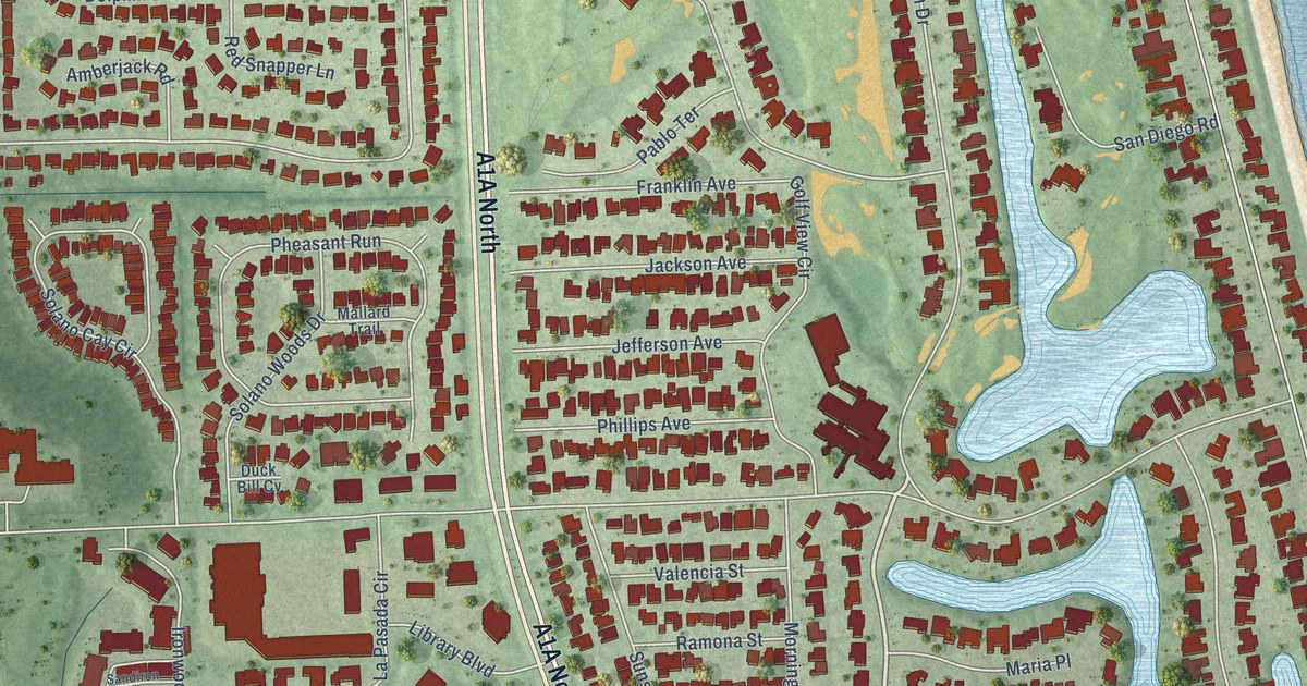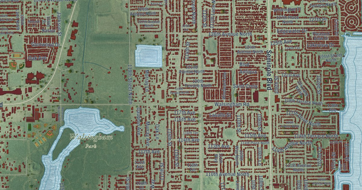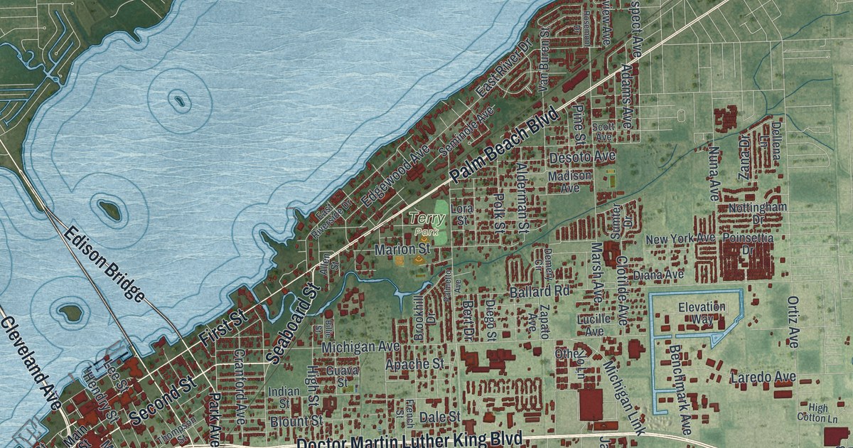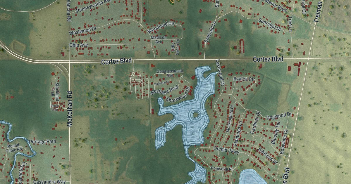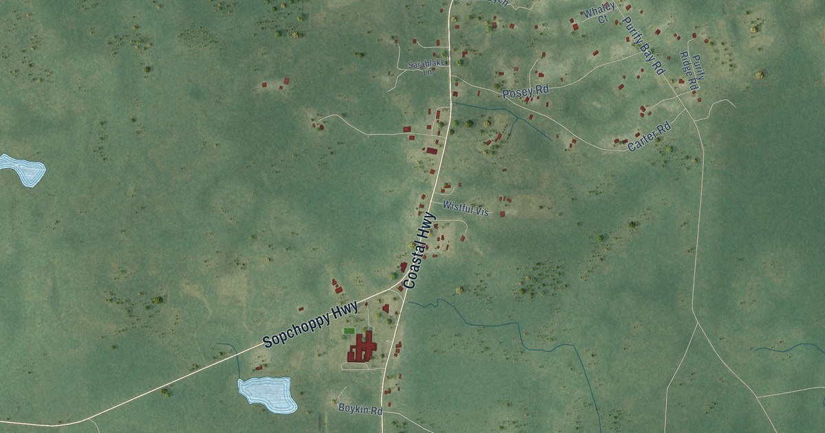
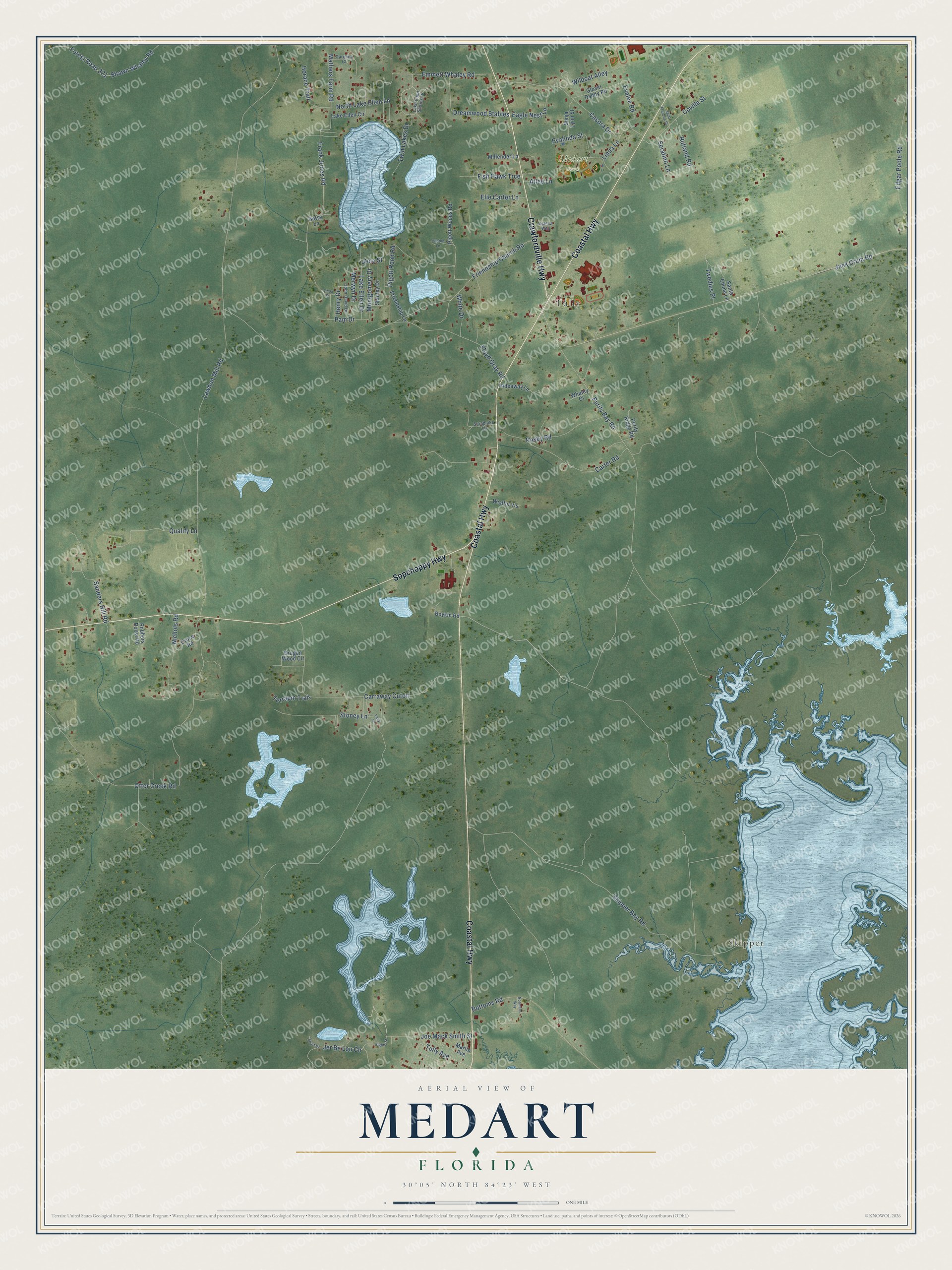
This beautifully detailed map of Medart, Florida was created in 2026 using aerial imagery combined with modern topographical, census, street and landmark data. It’s a one-of-a-kind view of Medart that combines accurate data with a vintage aesthetic. The map shows every building in its true location, many of the roads carry their names, and the shaded topographic relief shows the shape of the land.
Explore an aerial view of Medart, Florida
On the map you’ll find Skipper, Tully, and Medart Park, along with Coastal Highway, Sopchoppy Highway, Crawfordville Highway, Joe Mack Smith Street, North Lake Ellen Lane, Tully Avenue, Serafino Lane, Emmett Whaley Road, Frank Jones Road, and more. If you look closely you can even find your house accurately drawn in its correct location. Zoom in on the preview to look for yours.
Take a closer look at the Medart map
Names on this map
These names are printed on this map.
Places: Skipper, Tully and Medart Park.
Streets and roads: Coastal Highway, Sopchoppy Highway, Crawfordville Highway, Joe Mack Smith Street, North Lake Ellen Lane, Tully Avenue, Serafino Lane, Emmett Whaley Road, Frank Jones Road, Lawhon Mill Road, Jack Crum Road, Purify Bay Road.
More street names, A to Z
Alaska Way, Atlee Lane, Betsy Lane, Bottoms Road, Boykin Road, Carolina Court, Carraway Cutoff, Carter Road, Casora Drive, Clinton Lane, Coville Street, Cruse Road, Dragon Wood Circle, Dreamwood Stables, Eagle Nest Lane, Edgar Poole Road, Eighth Street, Elie Carter Lane, Evalee Road, Evalinda Street, Fish Hawk Trce, Floyd Gray Road, Forest Road 321, Friendship Church Road, Friendship Lane, Glover Daddy Road, Henry Drive, Hideaway Lane, Horace Trail, Jena Street, Jer Be Lou Circle, John David Drive, Lake Ellen Circle, Lake Ellen Drive, Lake Ellen Shores Drive, Lexy Lane, Linda Street, Linna Lane, Martin Avenue, Mathers Farm Road, Merwyn Drive, Millender Lane, Montgomery Drive, Nichols Road, Normans Way, Otter Creek Road, Pam Drive, Pigott Pond Road, Pigott Woods Road, Posey Road, Purify Ridge Road, Qualify Lane, Robbers Roost Road, Rutland Road, Saint Frances Street, Sanders Hill Road, Santa Emma Lane, Sarablake Lane, Shawn Whaley Road, Short Drive, Skipper Bay Road, Sonja Lynn Street, Stanley Drive, Stoney Lane, Terrapin Trail, Twedies Place, Twin Lakes Drive, Whaley Court, White Drive, Wildcat Alley, Wistful Vis.
See it on a wall
The Medart map as a framed print. Swipe for more.


This beautifully detailed map of Medart makes an attractive addition to your office, library, or den, and it can even be used to teach children the geography and history of the area. It also makes a great gift for anyone who grew up in Medart or moved away. When you’re done exploring, click here to get your copy of the Medart map.