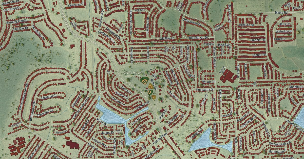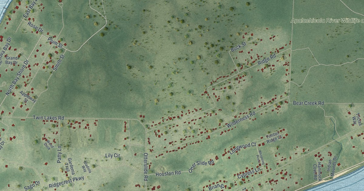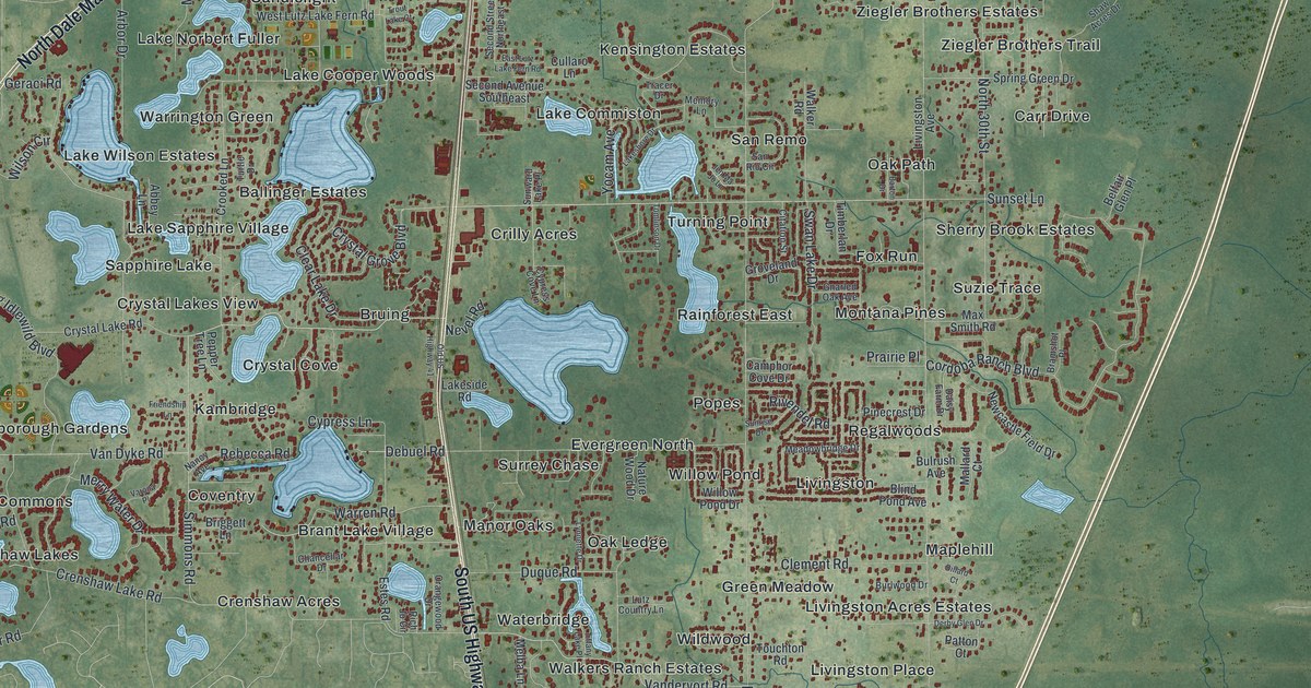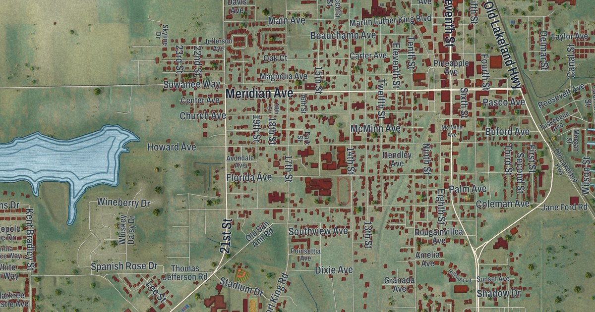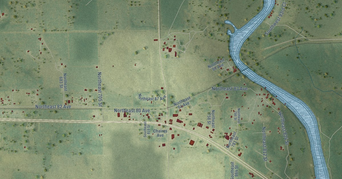
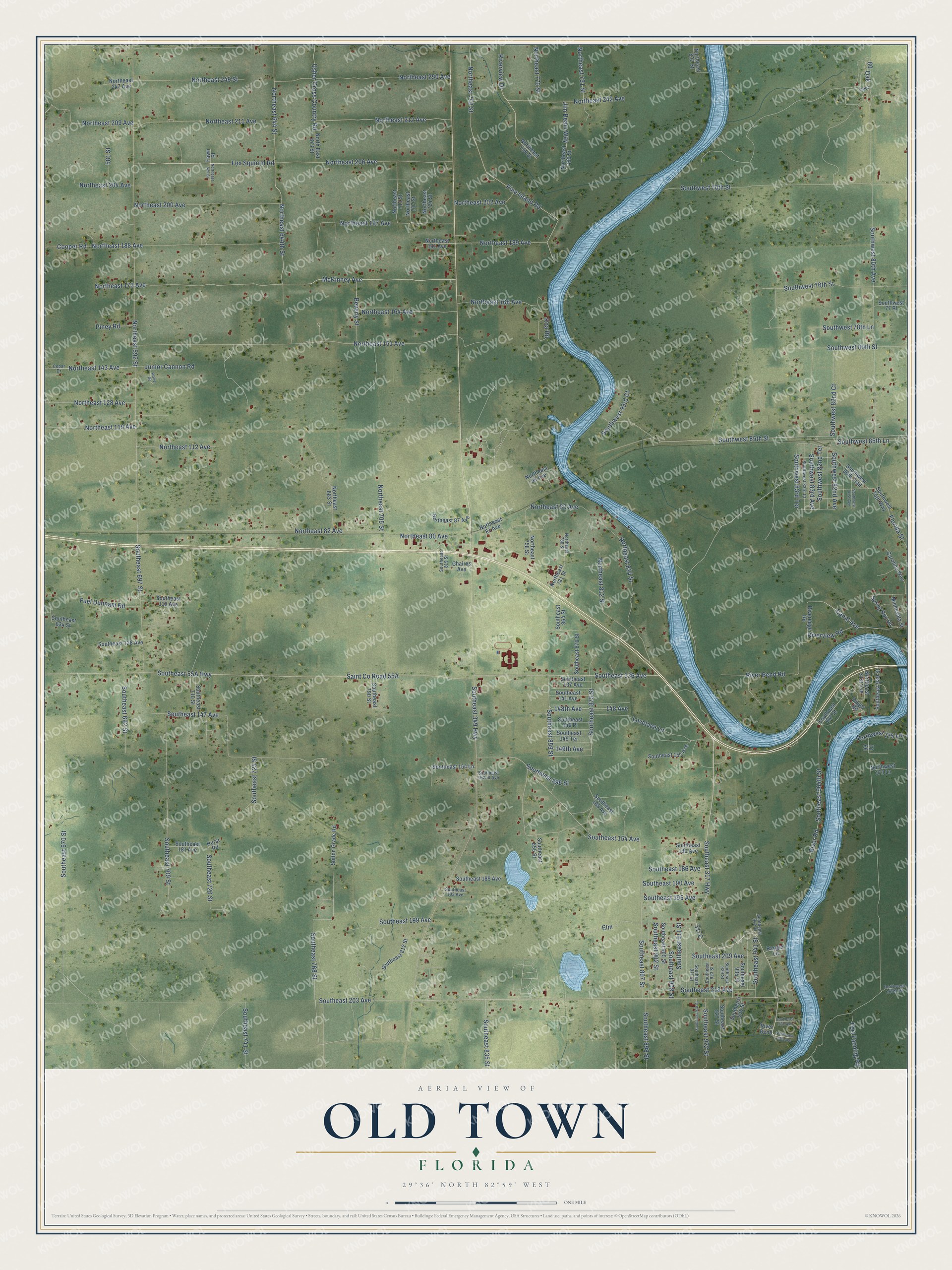
This beautifully detailed map of Old Town, Florida was created in 2026 using aerial imagery combined with modern topographical, census, street and landmark data. It’s a one-of-a-kind view of Old Town that combines accurate data with a vintage aesthetic. The map shows every building in its true location, many of the roads carry their names, and the shaded topographic relief shows the shape of the land.
Explore an aerial view of Old Town, Florida
On the map you’ll find 317C, along with Southeast 317 Highway, Canal Avenue, McKinney Avenue, Fox Squirrel Road, Northeast 644th Street, Southeast 768 Street, Southwest 85th Street, Southeast 349 Highway, Northeast 592 Street, Southeast 154 Avenue, Junior Cannon Road, and more. If you look closely you can even find your house accurately drawn in its correct location. Zoom in on the preview to look for yours.
Did You Know?
From Internet Archive: "The principal harbours are that called Holme's Hole, on the North side, upon which is seated the town of Tisbury, and that of Edgar Town, or the Old Town, on the eastern side, West of Chappaquiddick Island."
Old Town is a community in Dixie County.
Take a closer look at the Old Town map
Names on this map
These names are printed on this map.
Streets and roads: Southeast 317 Highway, Canal Avenue, McKinney Avenue, Fox Squirrel Road, Northeast 644th Street, Southeast 768 Street, Southwest 85th Street, Southeast 349 Highway, Northeast 592 Street, Southeast 154 Avenue, Junior Cannon Road, Northeast 173 Avenue.
More street names, A to Z
99 Court, 148 Avenue, 148th Avenue, 149th Avenue, 581 Street, Beverly Street, Carolina Way, Cedar Drive, Chaires Avenue, Cooper Road, Deer, Dilger Road, Elm, Fawn Place, Florida Street, Fort Fanning Road, Fuel Dunnam Road, Hurst Road, Jim Beam Way, Koa Road, Lovelace Lane, Minnesota Street, Northeast 31st Avenue, Northeast 80 Avenue, Northeast 81 Avenue, Northeast 82 Avenue, Northeast 83 Avenue, Northeast 87 Avenue, Northeast 90 Avenue, Northeast 112 Avenue, Northeast 119 Avenue, Northeast 128 Avenue, Northeast 143 Avenue, Northeast 151 Avenue, Northeast 164 Avenue, Northeast 168 Avenue, Northeast 188 Avenue, Northeast 189 Avenue, Northeast 191 Avenue, Northeast 197 Avenue, Northeast 200 Avenue, Northeast 202 Avenue, Northeast 204 Avenue, Northeast 206 Avenue, Northeast 209 Avenue, Northeast 211 Avenue, Northeast 212 Avenue, Northeast 242 Avenue, Northeast 247 Avenue, Northeast 249 Street, Northeast 250 Avenue, Northeast 629 Street, Northeast 644 Street, North East 673 Street, Northeast 683 Street, Northeast 705 Street, Northeast 711 Street, Northeast 717 Street, Northeast 724 Street, Northeast 743 Street, Northeast 756 Street, Northeast 758 Street, Northeast 770 Street, Northeast 780 Street, Northeast 781 Street, Northeast 786 Street, Northeast 791 Street, Northeast 812 Street, Northeast 824 Street, Northeast 832 Street, Northwest 160th Street, Northwest 173 Lane, Northwest 175 Lane, Oak, Pine Island Road, Piney Road, Ranger Lane, River Bend, River Bend Road, Riveredge Road, River Road, Riverview Drive, Riverview Road, Southeast 118 Avenue, Southeast 128 Avenue, Southeast 136 Avenue, Southeast 137 Avenue, Southeast 141 Avenue, Southeast 147 Avenue, Southeast 149 Place, Southeast 149 Terrace, Southeast 152 Avenue, Southeast 154 Lane, Southeast 162nd Avenue, Southeast 168 Avenue, Southeast 180 Avenue, Southeast 181 Avenue, Southeast 186 Avenue, Southeast 189 Avenue, Southeast 190 Avenue, Southeast 193 Avenue, Southeast 195 Avenue, Southeast 199 Avenue, Southeast 203 Avenue, Southeast 209 Avenue, Southeast 218 Avenue, Southeast 226 Avenue, Southeast 230 Avenue, Southeast 634 Street, Southeast 670 Street, Southeast 692 Street, Southeast 697 Street, Southeast 709 Street, Southeast 710 Street, Southeast 725 Street, Southeast 726 Street, Southeast 741 Street, Southeast 790 Street, Southeast 812 Street, Southeast 819 Street, Southeast 835 Street, Southeast 855 Street, Southeast 859 Street, Southeast 864 Street, Southeast 870 Street, Southeast 875 Street, Southeast 896 Street, Southeast 897 Street, Southeast 898 Street, Southeast 902 Street, Southeast 905 Street, Southeast 908 Street, Southeast 911 Street, Southeast 917 Street, Southeast 918 Street, Southeast 922 Street, Southeast 923 Street, Southeast 927 Street, Southeast 929 Street, Southeast 935 Street, Southeast 936 Street, Southeast 941 Street, Southeast 942 Street, Southeast 964th Street, Southeast 967 Street, Southeast 989 Street, Southwest 70th Street, Southwest 75th Way, Southwest 76th Street, Southwest 77 Place, Southwest 78th Lane, Southwest 80th Avenue, Southwest 80th Street, Southwest 80th Trail, Southwest 81st Avenue, Southwest 82nd Avenue, Southwest 82nd Court, Southwest 82nd Terrace, Southwest 83rd Avenue, Southwest 83rd Court, Southwest 83rd Terrace, Southwest 85th Lane, Southwest 93rd Court, Spring Run Road, Sutton Grade Road, Usher Cross Country Road, Walter Road.
See it on a wall
The Old Town map as a framed print. Swipe for more.


This beautifully detailed map of Old Town makes an attractive addition to your office, library, or den, and it can even be used to teach children the geography and history of the area. It also makes a great gift for anyone with Old Town roots. When you’re done exploring, click here to get your copy of the Old Town map.