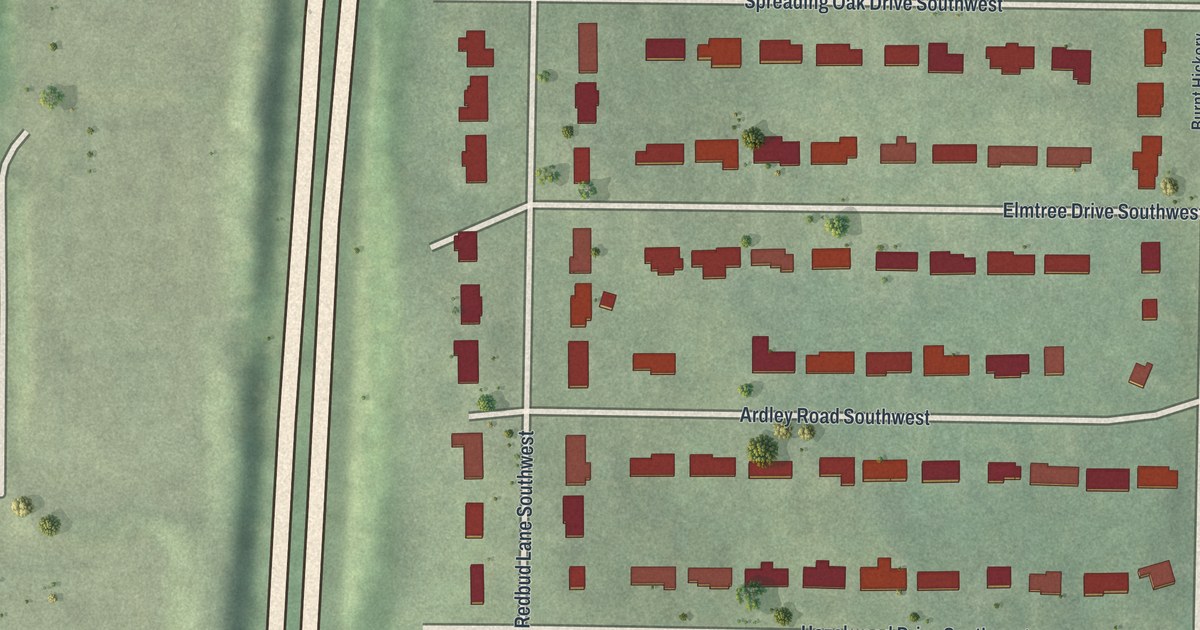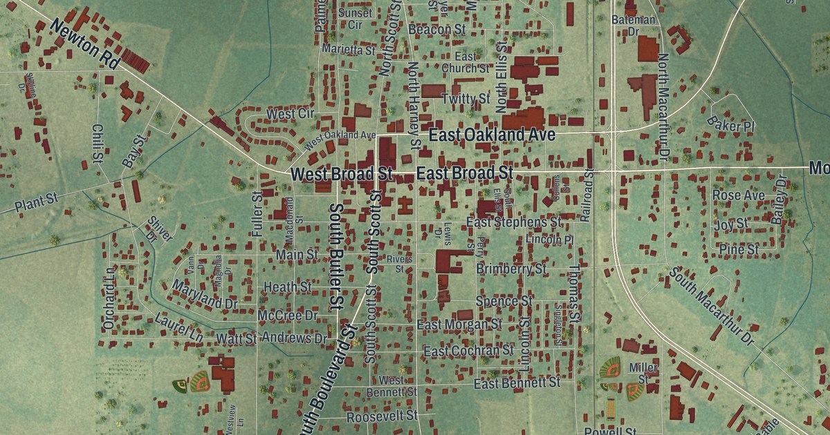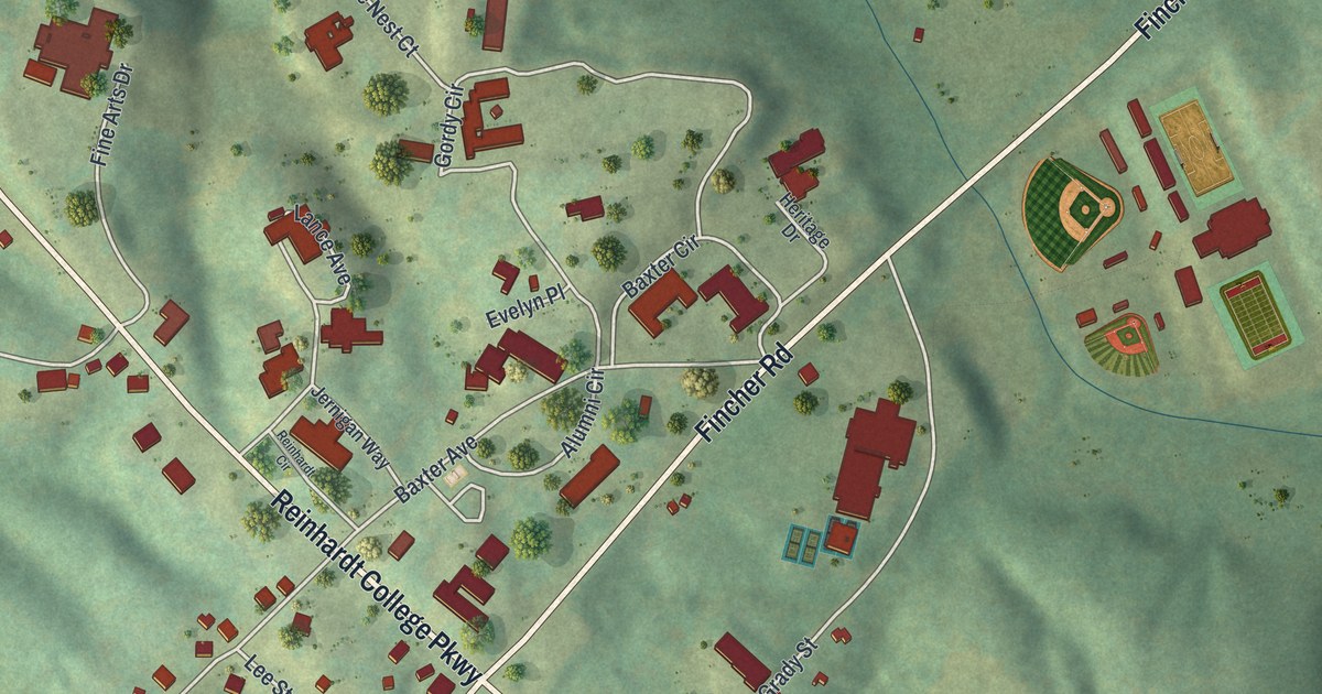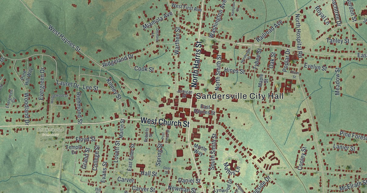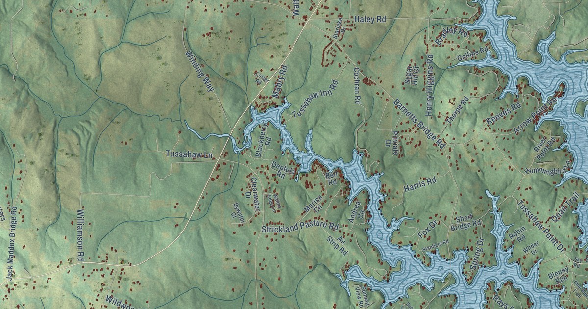
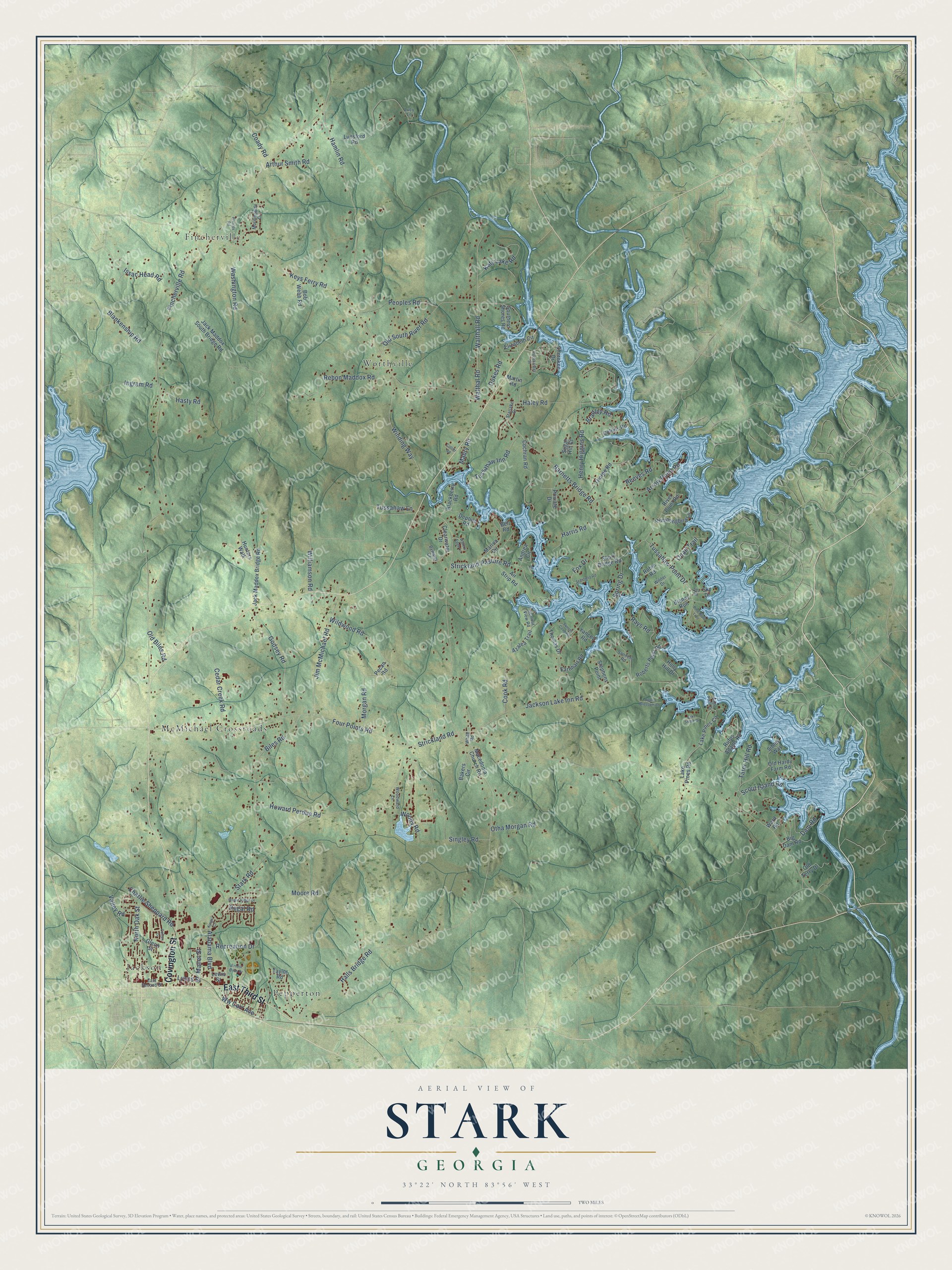
This beautifully detailed map of Stark, Georgia was created in 2026 using aerial imagery combined with modern topographical, census, street and landmark data. It’s a one-of-a-kind view of Stark that combines accurate data with a vintage aesthetic. The map shows every building in its true location, many of the roads carry their names, and the shaded topographic relief shows the shape of the land.
Explore an aerial view of Stark, Georgia
On the map you’ll find McMichael Crossroads, Fincherville, Jackson, Worthville, and Pepperton, along with East Third Street, Covington Street, Walthall Road, Walthal Road, Keys Ferry Road, Old South River Road, Stark Road, and more. If you look closely you can even find your house accurately drawn in its correct location. Zoom in on the preview to look for yours.
Did You Know?
From Internet Archive: "In 1861 he volunteered in a company made up around Stark, Ga.. and was elected First Lieutenant of the company This company was mustered into service in September, 1861, at Camp Bailey, and was known as Company A, Twenty-fifth Georgia regiment."
Stark is a community in Butts County.
Take a closer look at the Stark map
Names on this map
These names are printed on this map.
Places: McMichael Crossroads, Fincherville, Jackson, Worthville and Pepperton.
Streets and roads: East Third Street, Covington Street, Walthall Road, Walthal Road, Keys Ferry Road, Old South River Road, Stark Road, Fincherville Road, Halls Bridge Road, Barnetts Bridge Road, Jackson Lake Inn Road, Hamlin Road.
More street names, A to Z
Air Strip Road, Alabama Boulevard, Andrea Circle, Apple Blossom Lane, Arrow Point Road, Arthur Smith Road, Azalea Trail, Bakers Circle, Bell Road, Big Dam Road, Biles Road, Blackberry Road, Blankenship Road, Blenny Run, Bob Webb Road, Bradley Road, Bywater Court, Cedar Creek Road, Charlie Sheppard Road, Cherokee Drive, Clearwater Drive, Coady Road, Cochran Road, Collier Road, Collins Road, Cook Road, Cotton Drive, Dam Road, Deptula Road, Dukes Road, Eagle Point Drive, Earnhart Road, East Second Street, Elizabeth Circle, Ernest Biles Drive, Four Points Road, Fox Drive, Glenn Street, Godsey Road, Haley Road, Harris Road, Hasty Road, Henry Higgins Road, Holly Hill Drive, Howard Perdue Road, Hummingbird Lane, Hunters Walk, Ingram Road, Issac Head Road, Jack Maddox Bridge Road, Jack Maddox South Bridge Road, Jim McMichael Road, Katy Lake Road, Kings Court, Lake Pines Circle, Lake Pines Road, Lake Shore Drive, Lewis Street, Lucy Lane, Lunsford Road, Lyons Street, Mabry Road, Macedonia Church Road, Mallet Street, Maple Ridge Drive, Marina Circle, Martin Road, Moore Road, Morgan Road, Morningside Drive, North Oak Street, Old Biles Road, Old Hardy Farm Road, Old Terry Drive, Otha Morgan Road, Pecan Road, Peoples Road, Pine Bluff Trail, Pocahantas Street, Presley Road, Priviate Drive, Quail Trail, Rays Road, Rebon Maddox Road, Recreation Drive, Reeves Road, Regal Road, River Point Road, Roberts Point Road, Robin Road, Rufus Adams Road, Sanders Road, Scout Island Road, Short Bridge Road, Sibley Way, Singley Road, Sky Drive, Sky Road, Southern Shores Road, Spring Drive, Stanfield Road, Starlake Drive, Stephens Point, Strickland Pasture Road, Strickland Road, Sugar Hill Court, Summit View Road, Sunset Cove Road, Tater Hill Road, Taylor Road, Thomas Drive, Thorpe Road, Tussahaw Inn Road, Tussahaw Lane, Tussahaw Point Drive, Valley Road, Ward Road, Washington Road, Waters Edge Lane, White Road, Wilder Drive, Wildwood Road, Williamson Road, Winding Way, Woodward Lane, Woody Road, Ww Carr Avenue, Yancey Road.
See it on a wall
The Stark map as a framed print. Swipe for more.


This beautifully detailed map of Stark makes an attractive addition to your office, library, or den, and it can even be used to teach children the geography and history of the area. It also makes a great gift for anyone who grew up in Stark or moved away. When you’re done exploring, click here to get your copy of the Stark map.