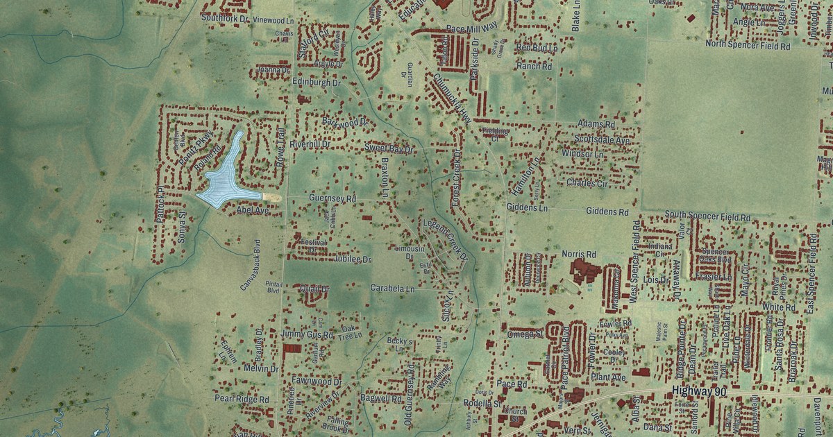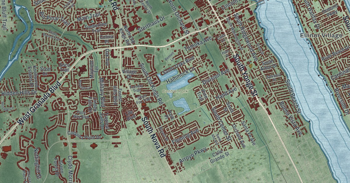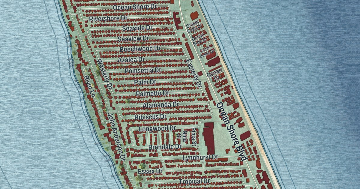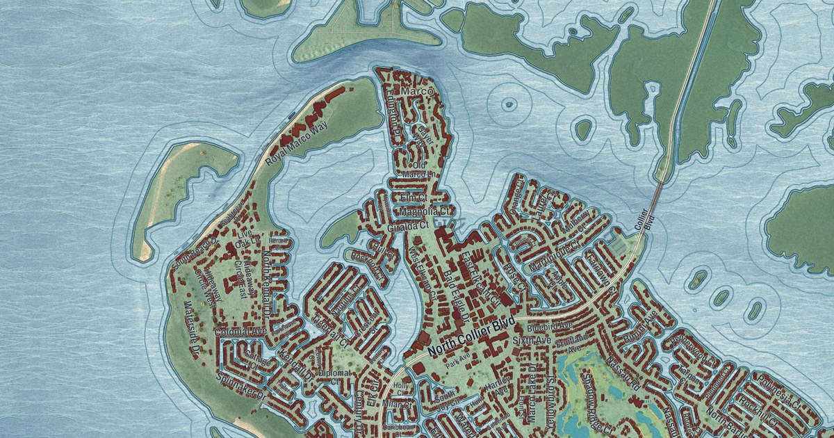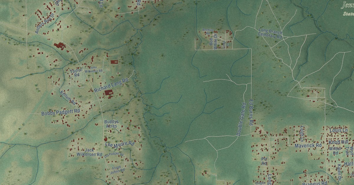
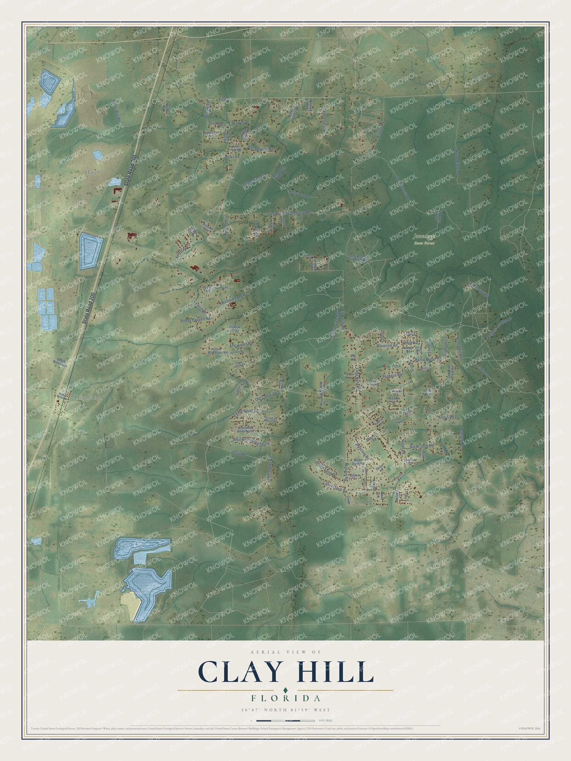
This beautifully detailed map of Clay Hill, Florida was created in 2026 using aerial imagery combined with modern topographical, census, street and landmark data. It’s a one-of-a-kind view of Clay Hill that combines accurate data with a vintage aesthetic. The map shows every building in its true location, many of the roads carry their names, and the shaded topographic relief shows the shape of the land.
Explore an aerial view of Clay Hill, Florida
On the map you’ll find Hugh, Highland, Jennings State Forest, and First, along with State Road 200, Long Branch Road, Double Gate Road, Jesse Road, Scully Hill Road, Louie Carter Road, Mallard Road, Nolan Road, and more. If you look closely you can even find your house accurately drawn in its correct location. Zoom in on the preview to look for yours.
Take a closer look at the Clay Hill map
Names on this map
These names are printed on this map.
Places: Hugh, Highland and Jennings State Forest.
Streets and roads: State Road 200, Long Branch Road, Double Gate Road, Jesse Road, First, Scully Hill Road, Louie Carter Road, Mallard Road, Nolan Road, Nolan Ridge Road, Long Branch Cemetery Road, Ed Burns Road.
More street names, A to Z
Albert Smith Road, Amanda Lane, Angus Road, Antlers Run Drive, Autumn Avenue, Beehive Road, Big Branch Road, Blackberry Spur Road, Black Bottom Drive, Bobby Padgett Road, Bob White Drive, Brangus Road, Buddys Acres, Butler Bay Road, Buzzie Lane, Canvasback Road, Catherine Lane, Centerwood Avenue, Conifer Circle, Courson Road, Drake Loop Road, Feather Lane, Flag Run Drive, Floyd Johns Road, Francine Drive, Gander Lane, Gingerbred Lane, Gregory Road, Hardy Padgett Road, Harper Creek Trail, Hattie Nolan Road, Henry Mosley Road, Hereford Road, Herty Pot Road, Higdon Road, Jacaranda Avenue, Jack Wilkerson Road, Jay Mark Lane, John Wilkinson Road, Jonathan Road, Josephine Mosley Road, Karen Drive, Kellum Road, Knights Landing Road, Knob Hill, Laurie Lane, Lee Moore Road, Leigh Lane, Lenda Lane, Liana Lee Drive, Linda Lane, Long Branch Cemetary Road, Long Horn Road, Louis Lane, Maltese Place, Maverick Road, McClelland Road, Morrow Road, Muscovy Road, North Road, Ola Padgett Road, Old Carter Road, Old Dine Field Road, Oregon Trail, Paloma Court, Peggy Lane, Pekin Lane, Polka Road, Primrose Lane, Pringle Road, Prt Road, Ranch Road, Richard Lang Road, Richard Mosley Road, Richie Lane, Secret Hill Lane, Short Horn Road, Skibo Lane, Somerset Court, Sonja Ellen Drive, Sonny Lane, Sparrow Court, Tar Flower Road, Taylor Field Road, Taylor Road, Teal Lane, Tillis Lane, Tookie Road, Turpentine Road, Twin Pine Road, War Admiral Road, Westwood Road North, Westwood Road South, White Oak Lane, Wilbur Road, Wolf Trail, Wood Duck Road.
See it on a wall
The Clay Hill map as a framed print. Swipe for more.


This beautifully detailed map of Clay Hill makes an attractive addition to your office, library, or den, and it can even be used to teach children the geography and history of the area. It also makes a great gift for someone who left Clay Hill and still calls it home. When you’re done exploring, click here to get your copy of the Clay Hill map.