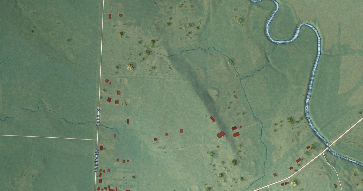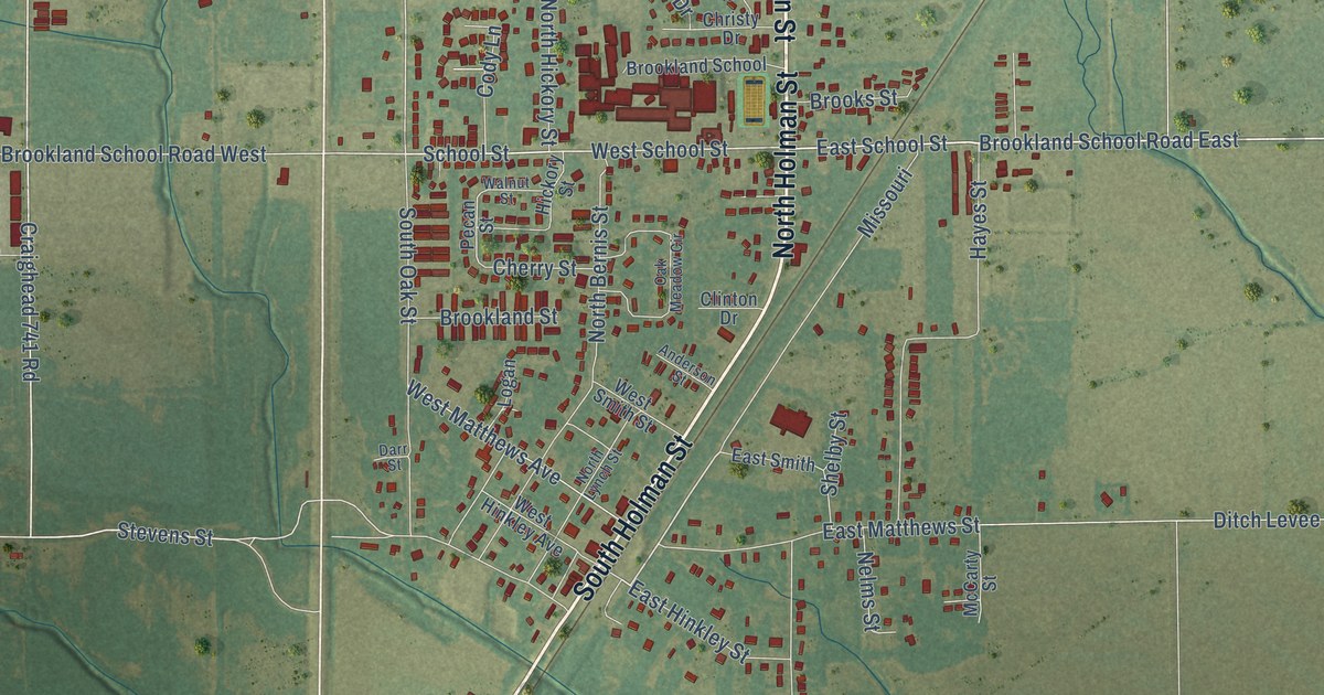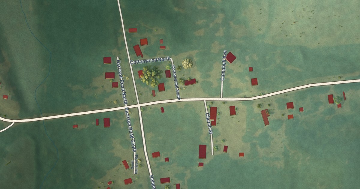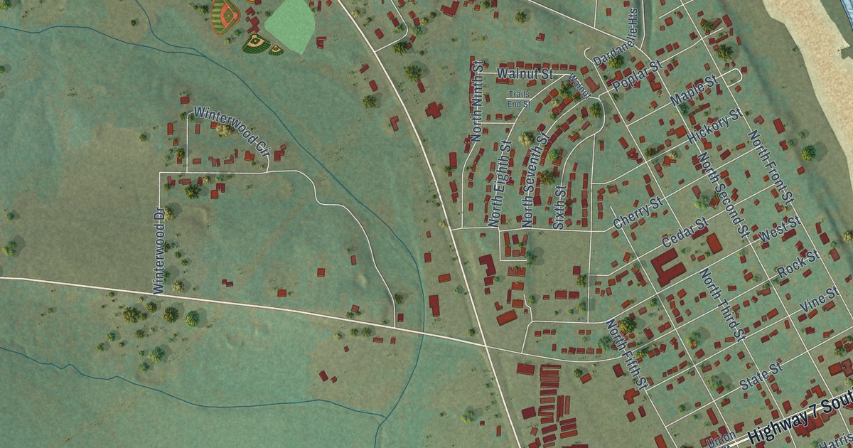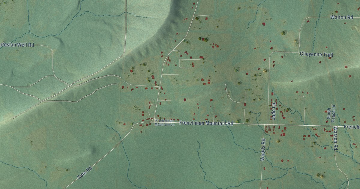
This beautifully detailed map of Cato, Arkansas was created in 2026 using aerial imagery combined with modern topographical, census, street and landmark data. It’s a one-of-a-kind view of Cato that combines accurate data with a vintage aesthetic. The map shows every building in its true location, many of the roads carry their names, and the shaded topographic relief shows the shape of the land.
Explore an aerial view of Cato, Arkansas
On the map you’ll find Gentry Corner, Conway, and Camp Joseph Robinson, along with Cato Road, Frenchman Mountain Road, Frenchmen Mount Road, Kaplon Road, Batesville Pike, Canton Drive, Moody Road, South Butler Drive, Artesian Well Road, and more. If you look closely you can even find your house accurately drawn in its correct location. Zoom in on the preview to look for yours.
Take a closer look at the Cato map
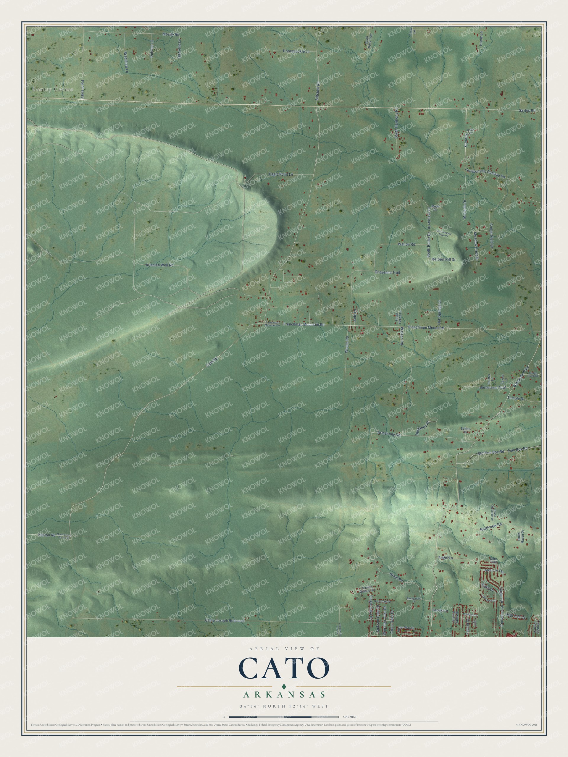
Names on this map
These names are printed on this map.
Places: Gentry Corner.
Streets and roads: Cato Road, Frenchman Mountain Road, Frenchmen Mount Road, Kaplon Road, Batesville Pike, Canton Drive, Moody Road, Conway, South Butler Drive, Artesian Well Road, Camp Joseph Robinson, Watson Road.
More street names, A to Z
Angel Lane, Antler Way Drive, Arbor Oaks Drive, Armstrong Road, Backpacker Lane, Bradshaw Lane, Bridge Creek Road, Bridge Field Drive, Burgandy Court, Button Cv, Cardinal Valley Drive, Cheyenne Trail, Cinnamon Drive, Collie Lane, Compass Point Street, Coyote Lane, Crow Lane, Danyelle Lane, Deer Trail, Delores Lane, Eagle Point Lane, East Olmstead Ridge Road, Falcon Cv, Falcon Drive, Forest Glades Circle, Frenchman Mountain Lane, Gamma Lane, Grant Oaks Street, Greer Road, Herbert Hill Drive, High Oak Cv, Home Lane, Honeysuckle Lane, Horseshoe Trail, Jackson Oaks Drive, Jacksonville Cato Road, Jacksonville Conway Road, Jade Lane, Jadestone Drive, Jadestone Trail, Koko Drive, Meadow Crest Drive, Michelle Drive, Mitchell Road, Moon Drive, Mount Vernon Cut-Off Road, North Butler Drive, Northview Road, Nuthatch Drive, Oakland Road, Oak Springs Lane, Old Tom Box Road, Pointer Lane, Sayles Road, Sheraton Oaks Drive, Single Oaks Drive, Smith Haven Drive, South Buck Trail, South Harmony Road, South Peace Lane, Stone Mountain Drive, Temple Drive, Tom Box Road, Walton Road, Woods Road.
See it on a wall
The Cato map as a framed print. Swipe for more.


This beautifully detailed map of Cato makes an attractive addition to your office, library, or den, and it can even be used to teach children the geography and history of the area. It also makes a great gift for anyone who grew up in Cato or moved away. When you’re done exploring, click here to get your copy of the Cato map.