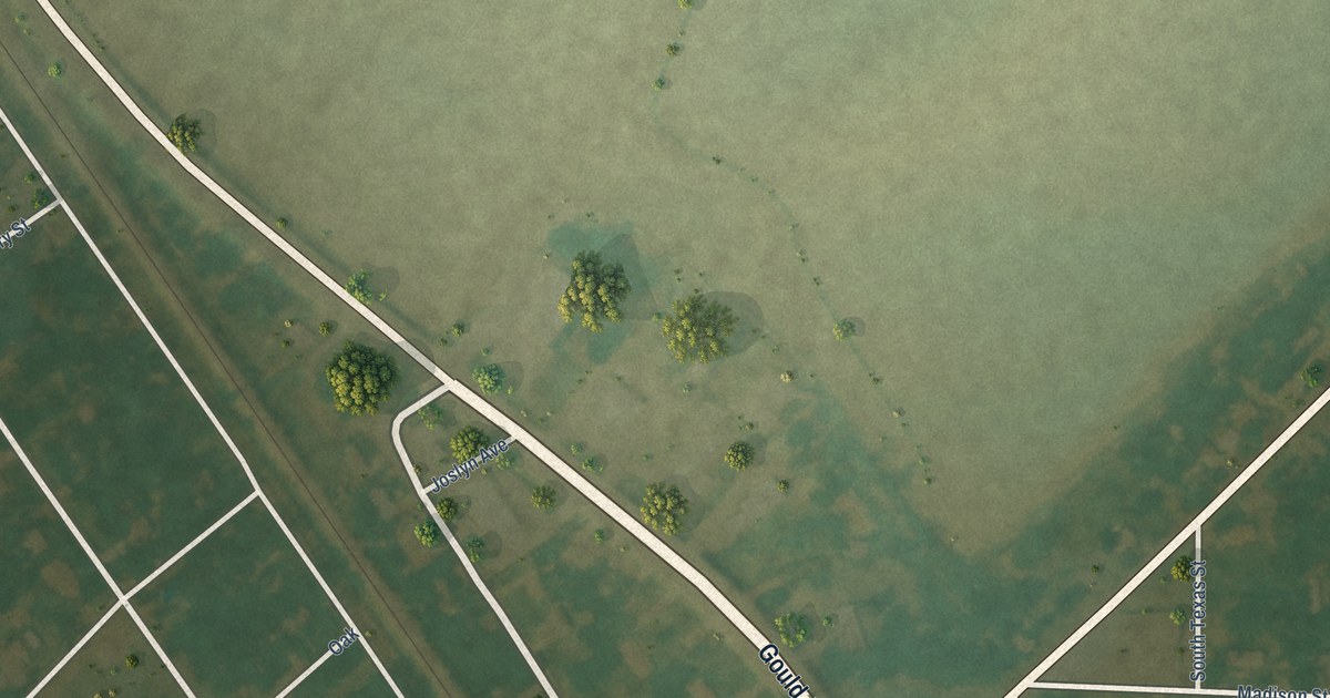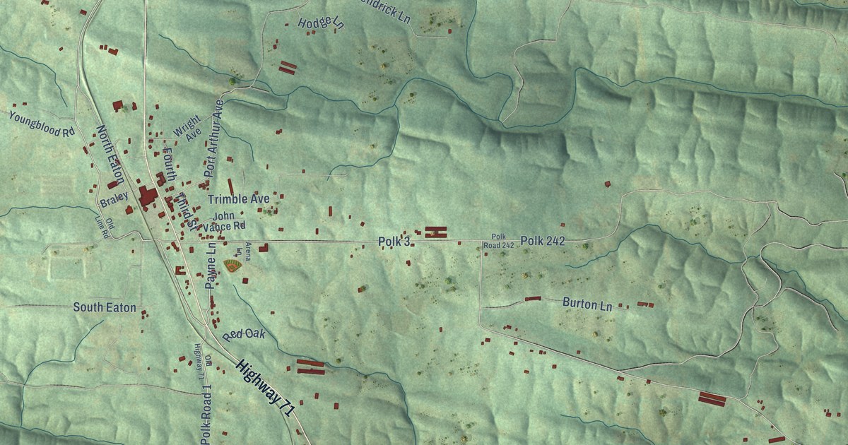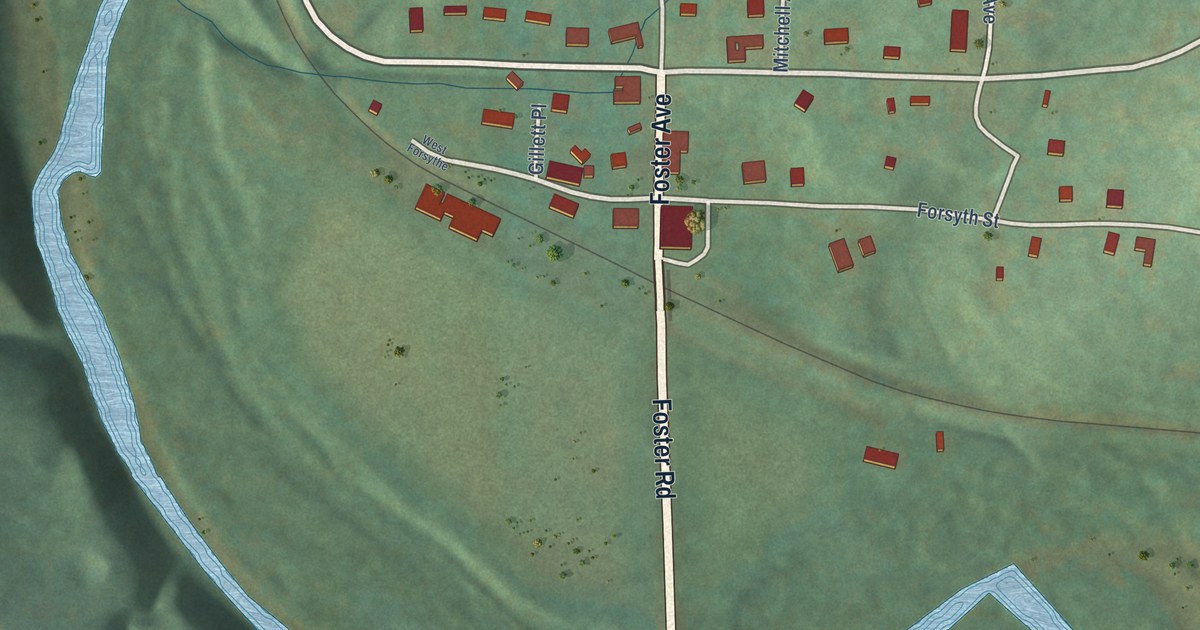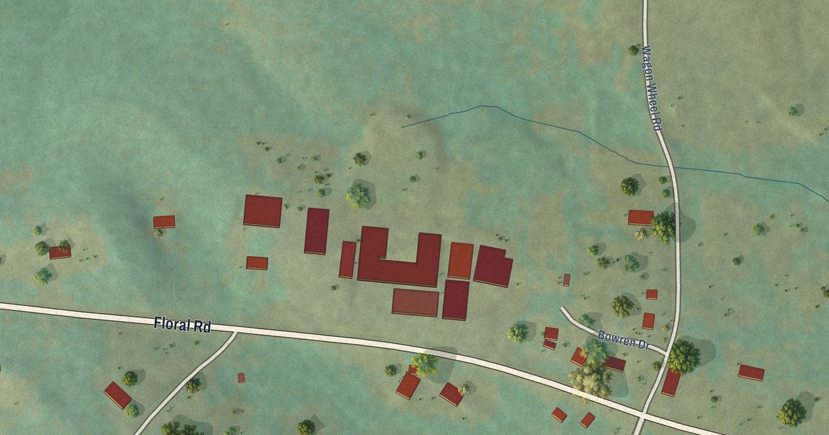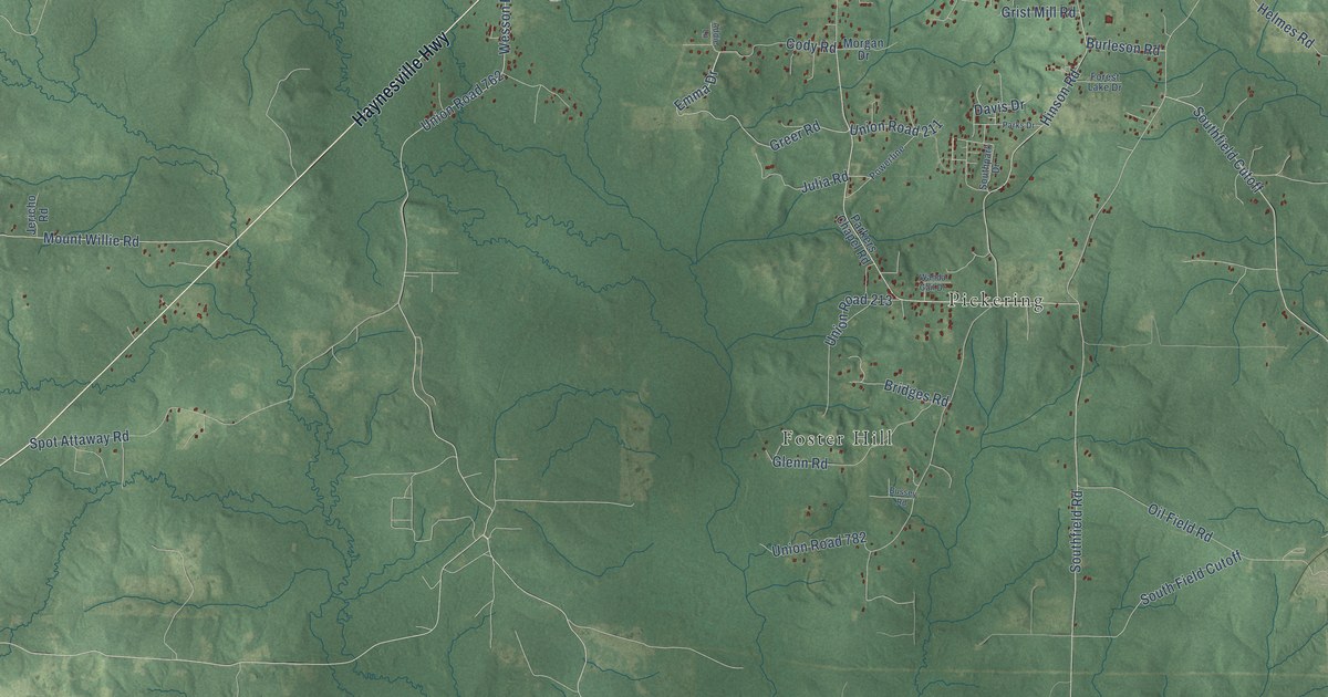
This beautifully detailed map of Parkers Chapel, Arkansas was created in 2026 using aerial imagery combined with modern topographical, census, street and landmark data. It’s a one-of-a-kind view of Parkers Chapel that combines accurate data with a vintage aesthetic. The map shows every building in its true location, many of the roads carry their names, and the shaded topographic relief shows the shape of the land.
Explore an aerial view of Parkers Chapel, Arkansas
On the map you’ll find Trull, Cargile, Foster Hill, Lamberton, Newell, Pickering, and Smith, along with Haynesville Highway, Del-Tin Highway, Cody Road, Emma Drive, Able Drive, and more. If you look closely you can even find your house accurately drawn in its correct location. Zoom in on the preview to look for yours.
Take a closer look at the Parkers Chapel map
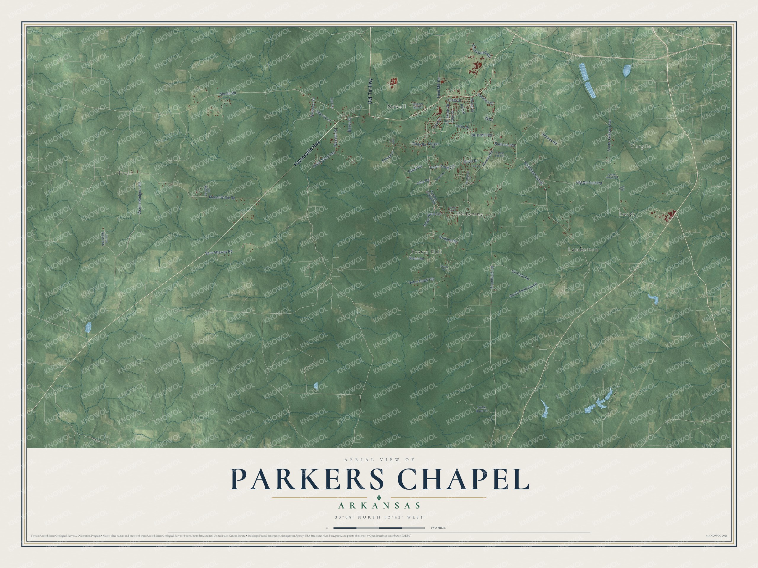
Names on this map
These names are printed on this map.
Places: Trull, Cargile, Foster Hill, Lamberton, Newell, Pickering and Smith.
Streets and roads: Haynesville Highway, Del-Tin Highway, Cody Road, Emma Drive, Able Drive, Greer Road, Southfield Cutoff, Southfield Road, South Field Cutoff, Hinson Road, Shuler Road, Mount Willie Road.
More street names, A to Z
Addie Lane, Bayou Drive, Bj Drive, Bridges Road, Burleson Road, Bussey Road, Campbell Road, Chapel Hill Drive, Charlie Rodgers Road, Davis Drive, Evans Drive, Feed Mill Road, Forest Lake Drive, Glenn Road, Grist Mill Road, Helmes Road, Jericho Road, Julia Road, Kay Drive, Lee Lane, Lucy Road, Lynn Drive, Morgan Drive, Murray Lane, Oil Field Road, Old Oil Field Road, Oleta Street, Parker Drive, Parkers Chapel Road, Parks Drive, Powerline, Rainwater Road, Rilla Street, South Jackson Avenue, Southpark Drive, Spot Attaway Road, Turtle Dove Lane, Union Road 211, Union Road 213, Union Road 228, Union Road 265, Union Road 401, Union Road 762, Union Road 782, Wanda Gail Drive, Wesson Road, Wotapi Street.
See it on a wall
The Parkers Chapel map as a framed print. Swipe for more.


This beautifully detailed map of Parkers Chapel makes an attractive addition to your office, library, or den, and it can even be used to teach children the geography and history of the area. It also makes a great gift for anyone who grew up in Parkers Chapel or moved away. When you’re done exploring, click here to get your copy of the Parkers Chapel map.