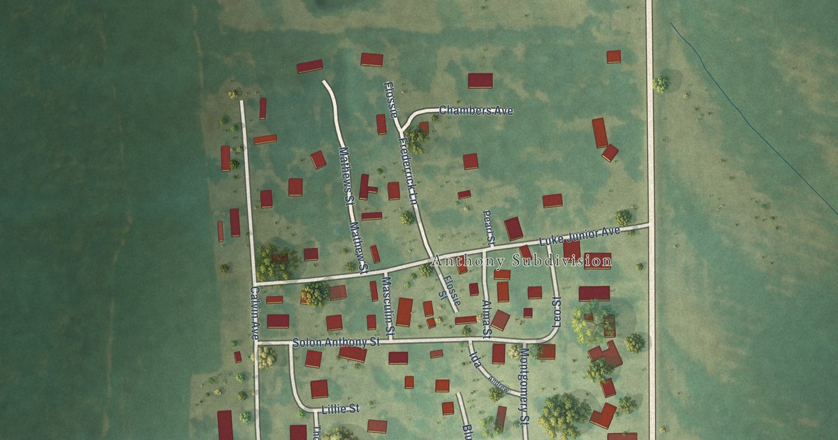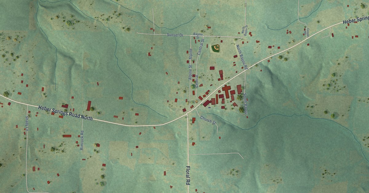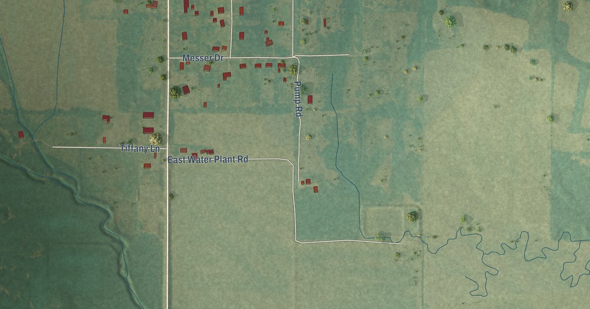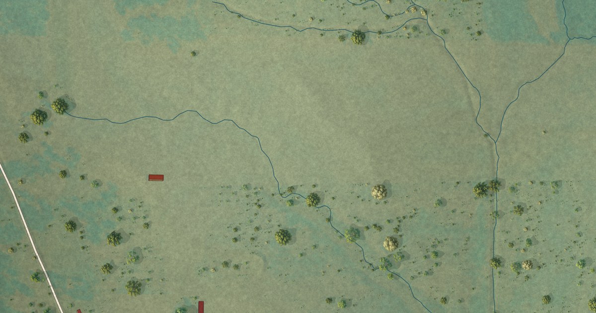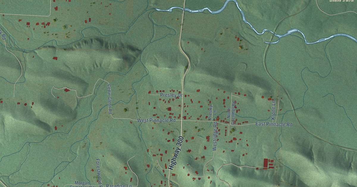
This beautifully detailed map of Pinnacle, Arkansas was created in 2026 using aerial imagery combined with modern topographical, census, street and landmark data. It’s a one-of-a-kind view of Pinnacle that combines accurate data with a vintage aesthetic. The map shows every building in its true location, many of the roads carry their names, and the shaded topographic relief shows the shape of the land.
Explore an aerial view of Pinnacle, Arkansas
On the map you’ll find Pinnacle Mountain State Park and William Kirsch Preserve, along with Highway 300, Cantrell Road, Lamarche Drive, Chalamont Drive, Chenal Parkway, Laval Circle, West Pinnacle Road, Germay Court, Durance Drive, Northfield Drive, and more. If you look closely you can even find your house accurately drawn in its correct location. Zoom in on the preview to look for yours.
Did You Know?
From Internet Archive: "The Arkansas Christian College is mentioned in connection with Pinnacle, and the Catholic school with the Catholic Church."
Pinnacle is a community in Pulaski County.
Take a closer look at the Pinnacle map
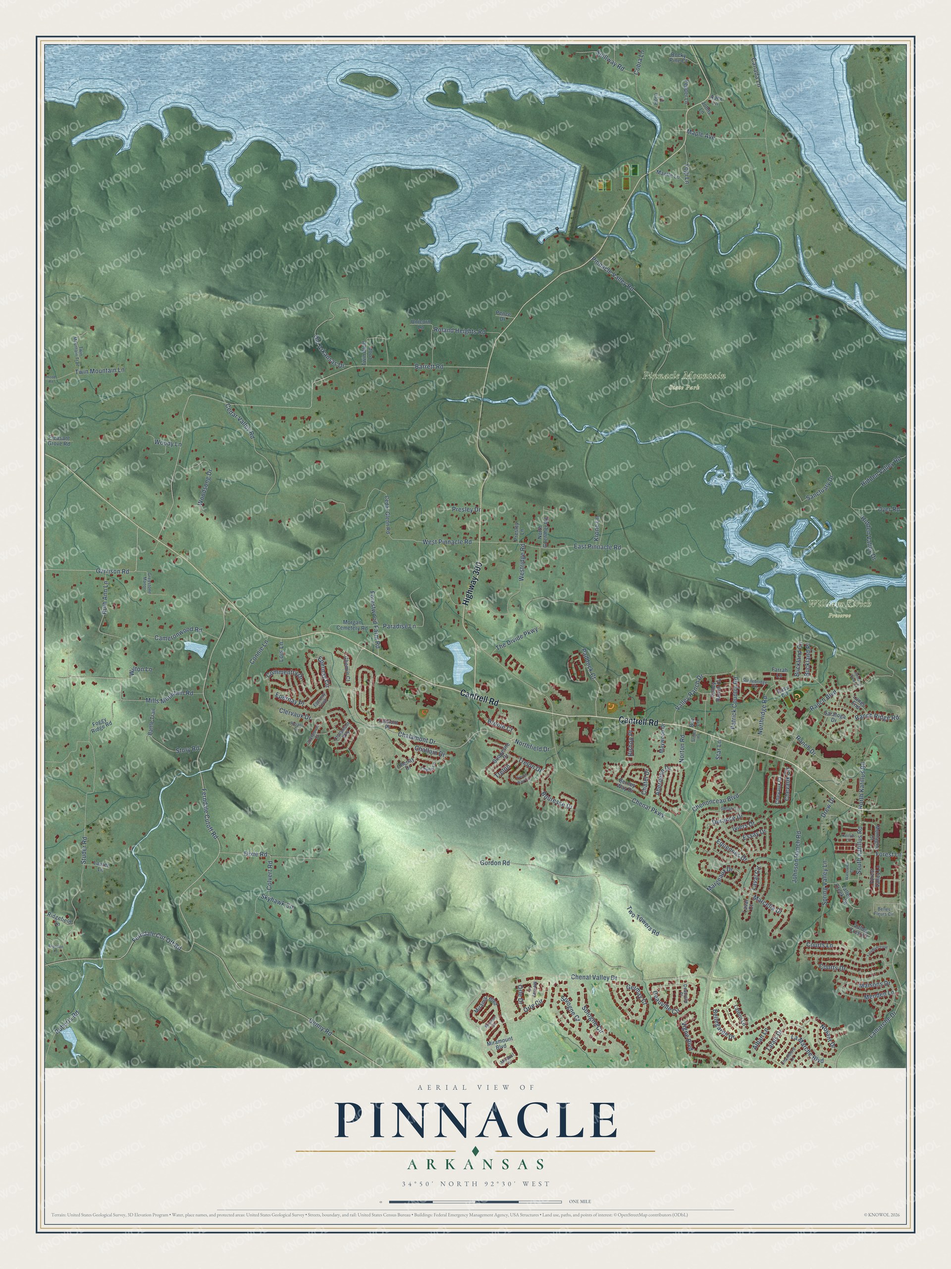
Names on this map
These names are printed on this map.
Places: Pinnacle Mountain State Park and William Kirsch Preserve.
Streets and roads: Highway 300, Cantrell Road, Lamarche Drive, Chalamont Drive, Chenal Parkway, Laval Circle, West Pinnacle Road, Germay Court, Durance Drive, Northfield Drive, Northridge Road, Ferndale Cut Off Road.
More street names, A to Z
Aberdeen Drive, Alban Lane, Apex Lane, Barrett Road, Bass Circle, Battle Trail, Bellegarde Drive, Belles Fleurs Circle, Berney Way Drive, Bishop Place, Bouresse Drive, Brandon Lane, Bronte Court, Buckland Circle, Buckland Place, Buz Lane, Cameronwood Road, Canada Lane, Cedar Glenn Road, Cedar Valley Road, Chalamont Court, Chalamont Way, Challain Drive, Chambord Lane, Chatel Drive, Chelle Lane, Chemin Court, Chenal Valley Drive, Chenay Drive, Chenonceau Boulevard, Chevaux Circle, Chevaux Court, Clervaux Drive, Cobra Lane, Colvert Road, Commentry Drive, Connie Lane, Courts Drive, Courts Lane, Deauville Circle, Deauville Place, Denny Road, Dixie Road, Drew Drive, Duquesne Drive, Dyer Road, East Pinnacle Road, Epernay Circle, Epernay Loop, Epernay Place, Equennes Drive, Essay Drive, Farnham Loop, Farrah Lane, Ferndale Cutoff Road, Foggy Ridge Road, Forest Lane, Forest Valley Lane, Forestwood Farm Road, Garrison Road, Gelan Court, Gordon Road, Greystone Manor, Hidden Valley Drive, Hidden Valley Road, Hood Road, Horn Lane, Iviers Drive, Johns Lane, Johnson Ranch Road, Katillus Court, Krone Lane, La Marche Boulevard, Lanes End, Latour Lane, Lauren Lane, Laval Court, Lois Lane, Maisons Drive, Mantle Lane, Maple Avenue, Marcella Drive, Margeaux Drive, Maywood Drive, Menden Lane, Mills Mountain Road, Mirabel Court, Miramar Boulevard, Miramar Court, Miramount Boulevard, Montagne Court, Morgan Cemetery Road, Mornay Lane, North Guenther Road, North Katillus Road, Norton Road, Noyant Drive, Old Arkansas Drive, Orle Circle, Orle Drive, Paddock Court, Paradise Lane, Patrick Country Road, Pence Drive, Pepper Lane, Pinnacle Valley Road, Pinnacle View Cv, Pleasant Grove Road, Presley Drive, Presley Lane, Ranch Boulevard, Ranch Drive, Ranch Ridge Road, Ridgefield Lane, Roberts Road, Rocky Pine Court, Roland Heights Road, Rosans Court, Ruth Ann Lane, Sanctuary Drive, Saratoga Drive, Skyhawk Circle, Sologne Circle, Sologne Court, South Katillus Road, Spillway Road, Spring Valley Lane, Star Lane, Stonebridge Circle, Stones Road, Story Road, Studer Road, Talais Drive, Talmont Place, The Divide Parkway, Trelon, Trelon Drive, Trelon Way Circle, Twin Bluff Loop, Twin Mountain Lane, Twin Mountain Trail, Two Towers Road, Unicorn Lane, Valley Creek Vw, Valley Crest Court, Valley Ranch Cv, Valley Ranch Drive, Vigne Boulevard, Waterview Court, Westridge Road, Wilton Lane, Woodsong Drive, Woody Lane, Yogi Lane.
See it on a wall
The Pinnacle map as a framed print. Swipe for more.


This beautifully detailed map of Pinnacle makes an attractive addition to your office, library, or den, and it can even be used to teach children the geography and history of the area. It also makes a great gift for someone who left Pinnacle and still calls it home. When you’re done exploring, click here to get your copy of the Pinnacle map.