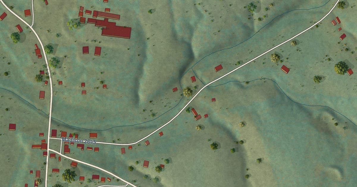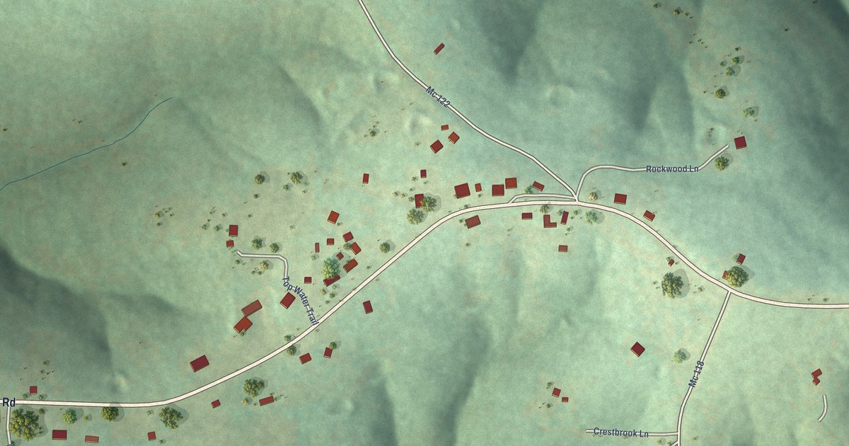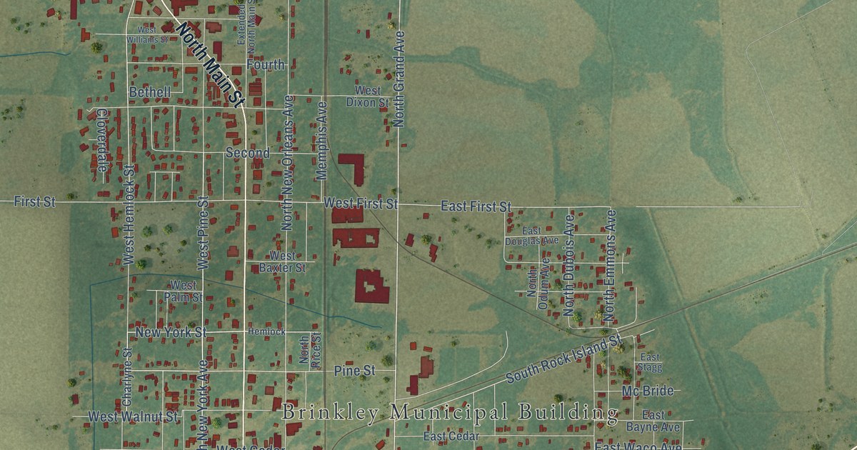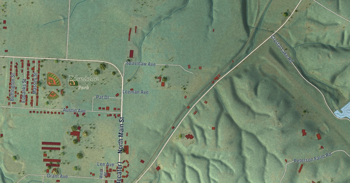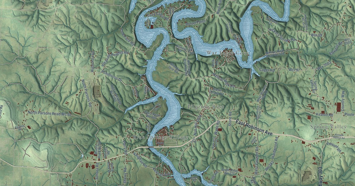
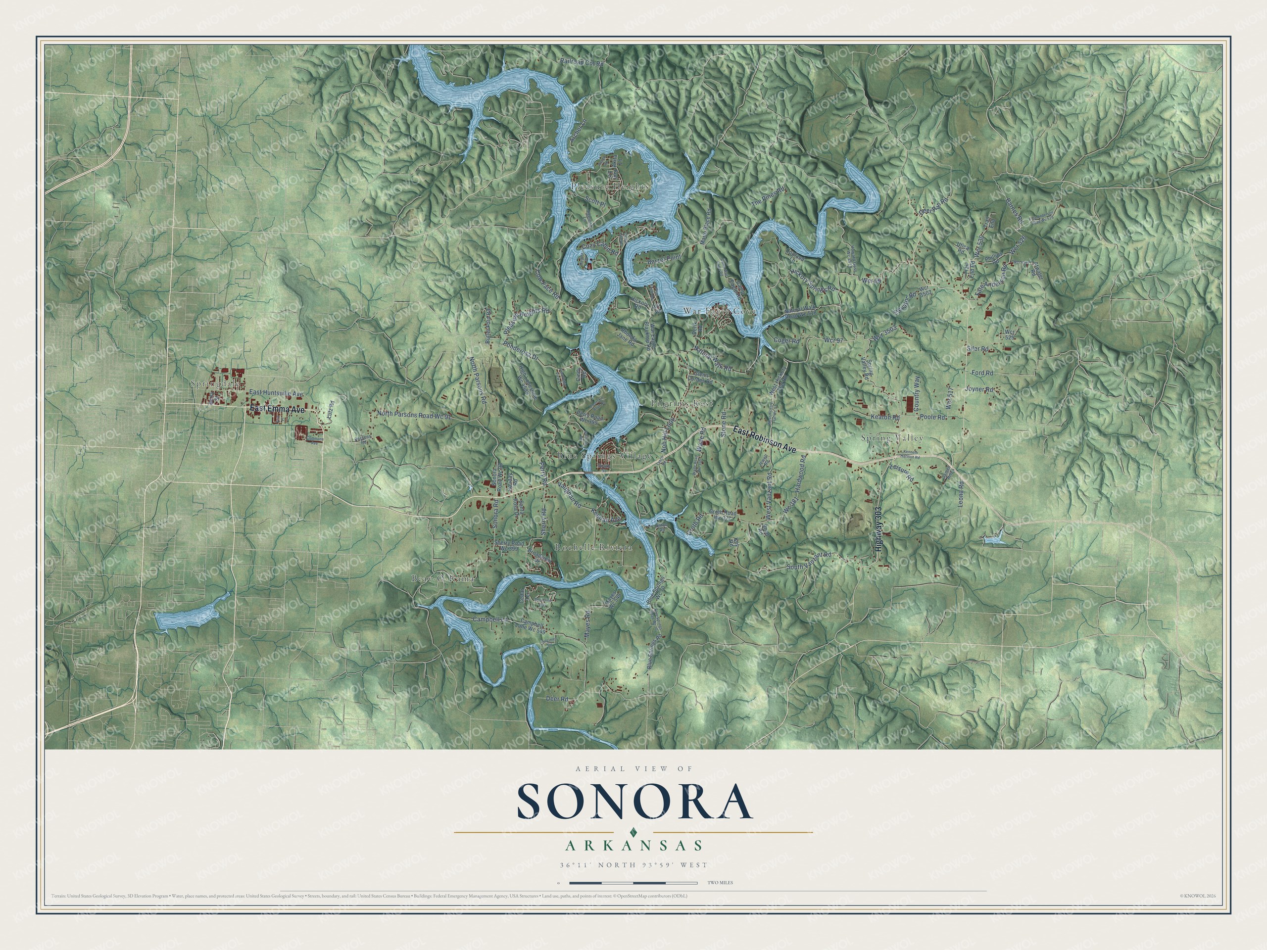
This beautifully detailed map of Sonora, Arkansas was created in 2026 using aerial imagery combined with modern topographical, census, street and landmark data. It’s a one-of-a-kind view of Sonora that combines accurate data with a vintage aesthetic. The map shows every building in its true location, many of the roads carry their names, and the shaded topographic relief shows the shape of the land.
Explore an aerial view of Sonora, Arkansas
On the map you’ll find Springdale, Pleasure Heights, Blue Springs Village, Spring Valley, Beav-O-Rama, Pilgrims Rest, Rochelle Riviera, War Eagle Cove, and Wcr 3503, along with East Robinson Avenue, East Emma Avenue, Highway 303, and more. If you look closely you can even find your house accurately drawn in its correct location. Zoom in on the preview to look for yours.
Take a closer look at the Sonora map
Names on this map
These names are printed on this map.
Places: Springdale, Pleasure Heights, Blue Springs Village, Spring Valley, Beav-O-Rama, Pilgrims Rest, Rochelle Riviera and War Eagle Cove.
Streets and roads: East Robinson Avenue, East Emma Avenue, Highway 303, Wcr 3503, Wcr 97, West Vanzant Road, Pleasure Heights Road, North Parsons Road Wc 91, Sonora Road, Natural Walk Road, The Pines Road, Wcr 99.
More street names, A to Z
Akita Lane, Archer Lane, Atwater Road, Barnes Road, Barzel Point, Berry Street, Blue Springs Road, Blue Springs Road Wc 70, Blue Springs Wc 70, Boyd Road, Broadview Drive, Butler Ford Road, Campbell Lane, Campbell Lane Wc 549, Camp Eagle Road, Camp War Eagle Road, Cedar Grove, Cedar Terrace, Cindy Road, Coger Road, Commons Avenue, Coonskin Bluff Road, Copland Lane, Country Way, Cow Face Road, Cozy Cabin Road, Deer Road, Deer Run Road, Derik Road, Dulcimer Road, East Huntsville Avenue, Elevator Road, Erin Place, Fate Anderson Road, Fate Anderson Road Wc 526, Ford Road, Friendship View Drive, Fun Lane, Gardenia Road, Glenn Cordes Road, Groth Road, Groth Road Wc 377, Hardwood Road, Hickory Road, Hickory Springs Road, High Lonesome Wc 4589, Hill Road, Hilton Road, Holiday Road, Howard Goss Wc 4519, James Acres, Jewell Road, Joyner Road, Keaton Road, Keenan Avenue, Kenneth Harmon Road, Key Road, Leisure Road, Leona Road, Lutz Road, Lynch Road, Marjo Place Road, Mayes Road, Mayes Wc 548, Medina Drive, Natural Walk Road Wc 518, Nob Hill Loop, North Parsons Road, Parsons Road, Perry Road, Perry Road Wc 399, Phillips Road, Ponderosa Drive, Poole Road, Railroad Cut Road, Ranch Road, Rhonda Jane Road, Santa Rosa Drive, Scott Place, Sherry Road, Sherry Road Wc 399, Shoreline Way, Sigmond Lane, Siler Road, Sonora Road Wc 93, South Street, South Vanzant Road, Spring Valley Road, Stone Road, Trail End, Trail End Road, Utica Road, Vaughan Road, Wade Road, Wade Road Wc 390, War Eagle Blacktop Road, War Eagle Road, Wc 381, Wcr 517, Wcr 525, Wcr 526, Wcr 530, Wcr 3502, Wcr 4527, West Hickory Flat Road, West Hickory Flat Wc 97.
See it on a wall
The Sonora map as a framed print. Swipe for more.


This beautifully detailed map of Sonora makes an attractive addition to your office, library, or den, and it can even be used to teach children the geography and history of the area. It also makes a great gift for anyone who grew up in Sonora or moved away. When you’re done exploring, click here to get your copy of the Sonora map.