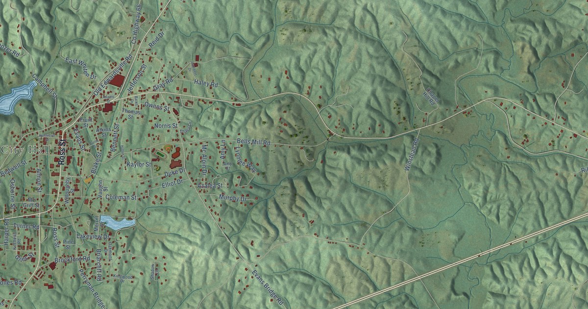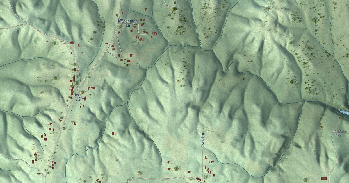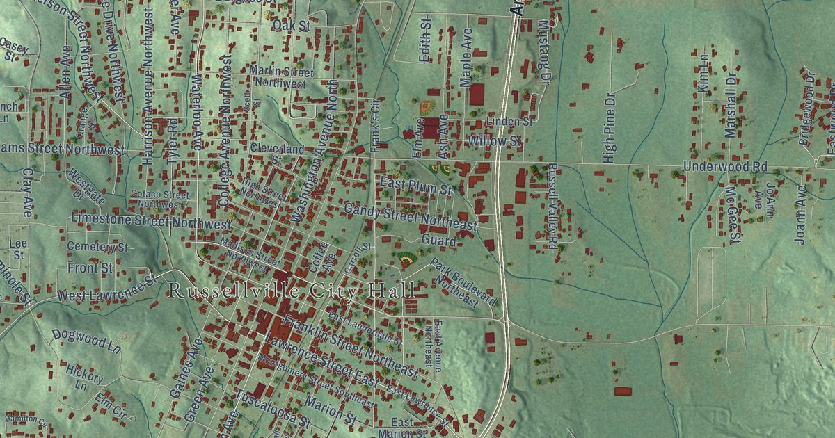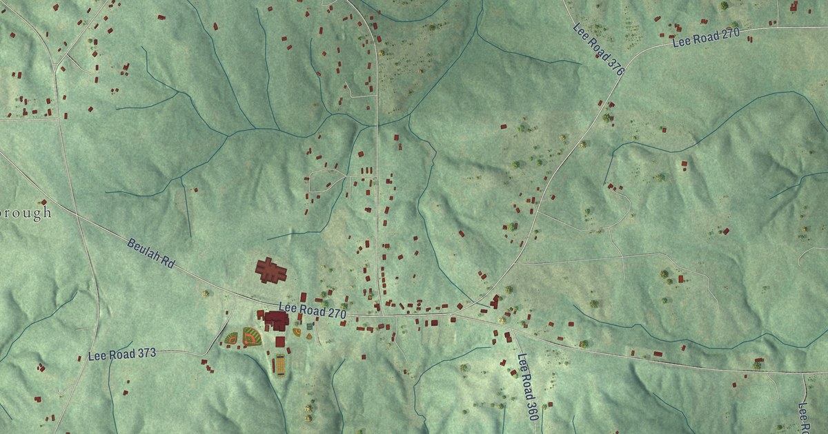
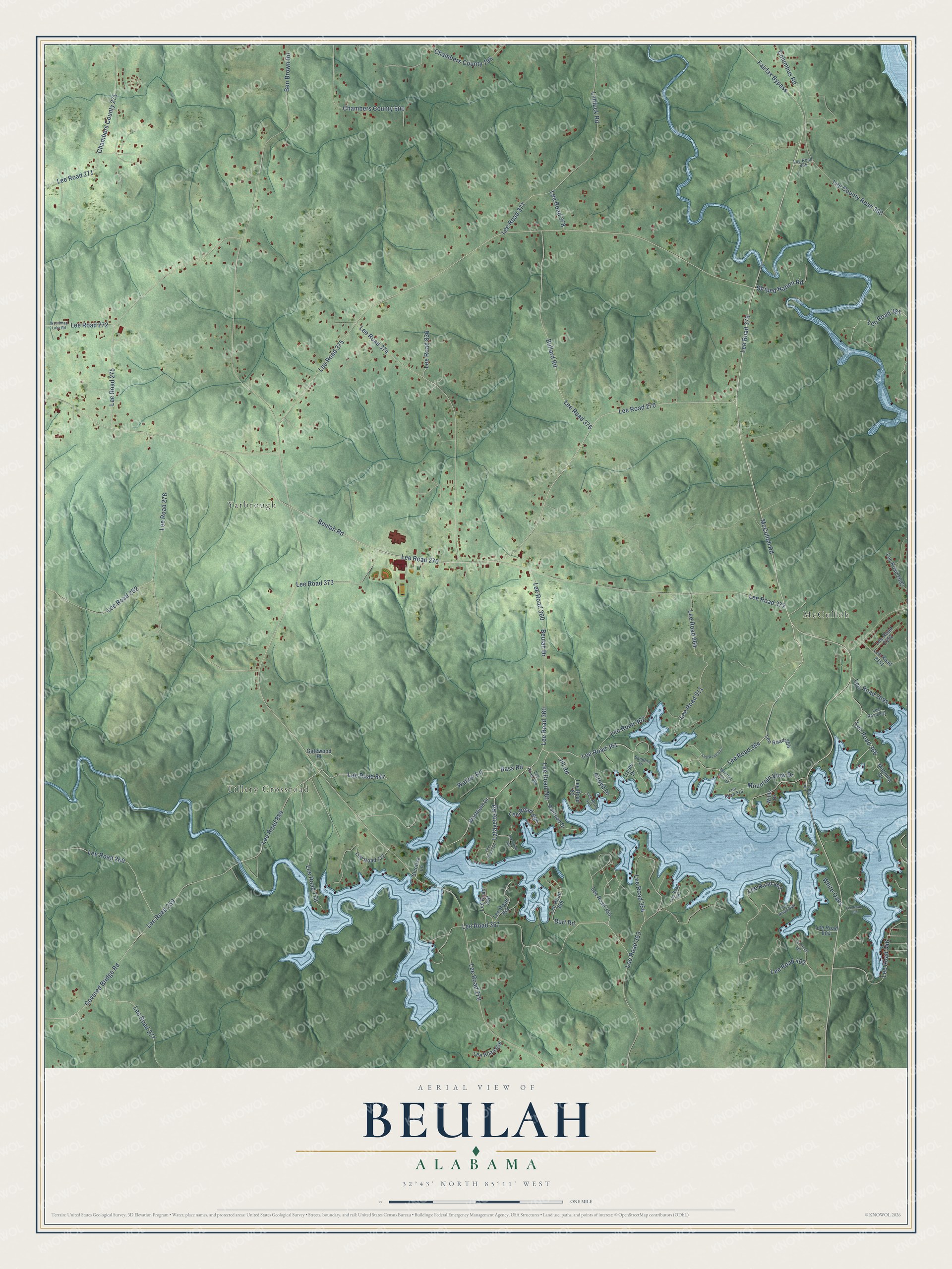
This beautifully detailed map of Beulah, Alabama was created in 2026 using aerial imagery combined with modern topographical, census, street and landmark data. It’s a one-of-a-kind view of Beulah that combines accurate data with a vintage aesthetic. The map shows every building in its true location, many of the roads carry their names, and the shaded topographic relief shows the shape of the land.
Explore an aerial view of Beulah, Alabama
On the map you’ll find McCulloh, Tillery Crossroad, Yarbrough, Lee Road 379, Lee Road 364, Lee Road 360, Lee Road 361, and Lee Road 375, along with Beulah Drive, Bass Road, Fairfax Bypass, McCulloh Road, and more. If you look closely you can even find your house accurately drawn in its correct location. Zoom in on the preview to look for yours.
Did You Know?
From Internet Archive: "Mark Butler (q. v.); 9. soon formed, Old Beulah church, located be- Calloway, m. (1) Sophronia Davis, (2) Mary tween Sparta and Brooklyn, founded by him."
Beulah is a community in Lee County.
Take a closer look at the Beulah map
Names on this map
These names are printed on this map.
Places: McCulloh, Tillery Crossroad and Yarbrough.
Streets and roads: Lee Road 379, Lee Road 364, Beulah Drive, Lee Road 360, Lee Road 361, Bass Road, Lee Road 375, Fairfax Bypass, McCulloh Road, Lee Road 270, Walker Road, Lee Road 357.
More street names, A to Z
Alroyd Drive, Ben Brown Road, Beulah Road, Bullard Road, Burt Road, Chambers County 196, Chambers County 271, Chambers County 500, Columbus Road, Covered Bridge Road, Gatewood Place, Jill Road, Lafayette Road, Lantuck Road, Lee County Road 380, Lee Road 259, Lee Road 260, Lee Road 262, Lee Road 271, Lee Road 272, Lee Road 275, Lee Road 276, Lee Road 277, Lee Road 279, Lee Road 346, Lee Road 353, Lee Road 354, Lee Road 355, Lee Road 356, Lee Road 358, Lee Road 359, Lee Road 362, Lee Road 366, Lee Road 372, Lee Road 373, Lee Road 374, Lee Road 376, Lee Road 377, Lee Road 378, Lee Road 381, Lee Road 462, Lee Road 463, Lee Road 656, Lee Road 776, Lee Road 777, Lee Road 779, Lee Road 781, Lee Road 782, Lee Road 803, Lee Road 804, Lee Road 805, Lee Road 835, Lee Road 836, Lee Road 841, Lee Road 844, Lee Road 845, Lee Road 847, Lee Road 889, Lee Road 891, Lee Road 894, Lee Road 895, Lee Road 908, Lee Road 911, Lee Road 913, Lee Road 915, Lee Road 964, Lee Road 2092, Lee Road 2098, Lee Road 2151, Lee Road 2152, Manning Drive, Mountain View Drive, Mountain View Road, Railroad Drive, Sanders Drive, Sicotisa Lane, Striped Nation Road, Tresle Drive, Westfield Drive, White Oaks, Willis Drive, Woodmap Lake Road.
See it on a wall
The Beulah map as a framed print. Swipe for more.


This beautifully detailed map of Beulah makes an attractive addition to your office, library, or den, and it can even be used to teach children the geography and history of the area. It also makes a great gift for anyone who grew up in Beulah or moved away. When you’re done exploring, click here to get your copy of the Beulah map.