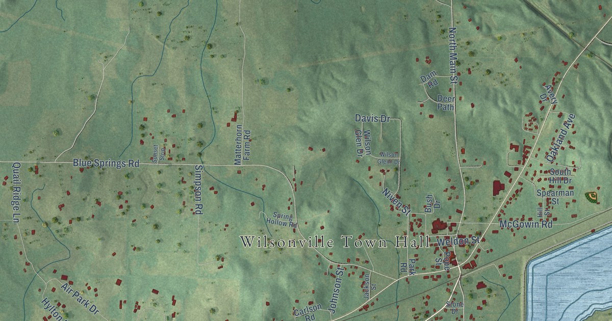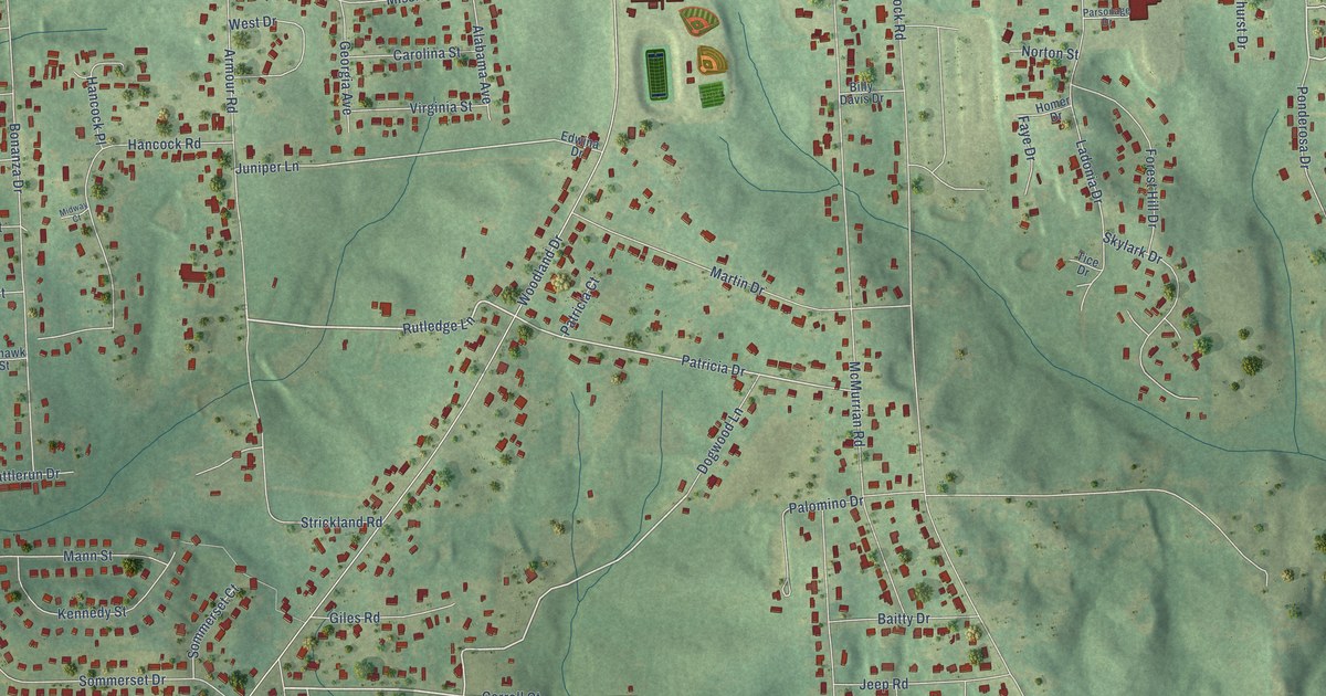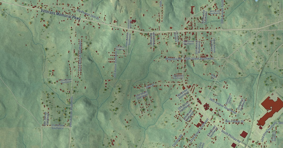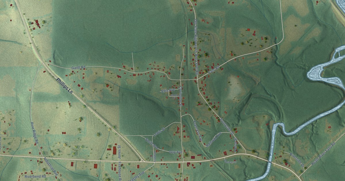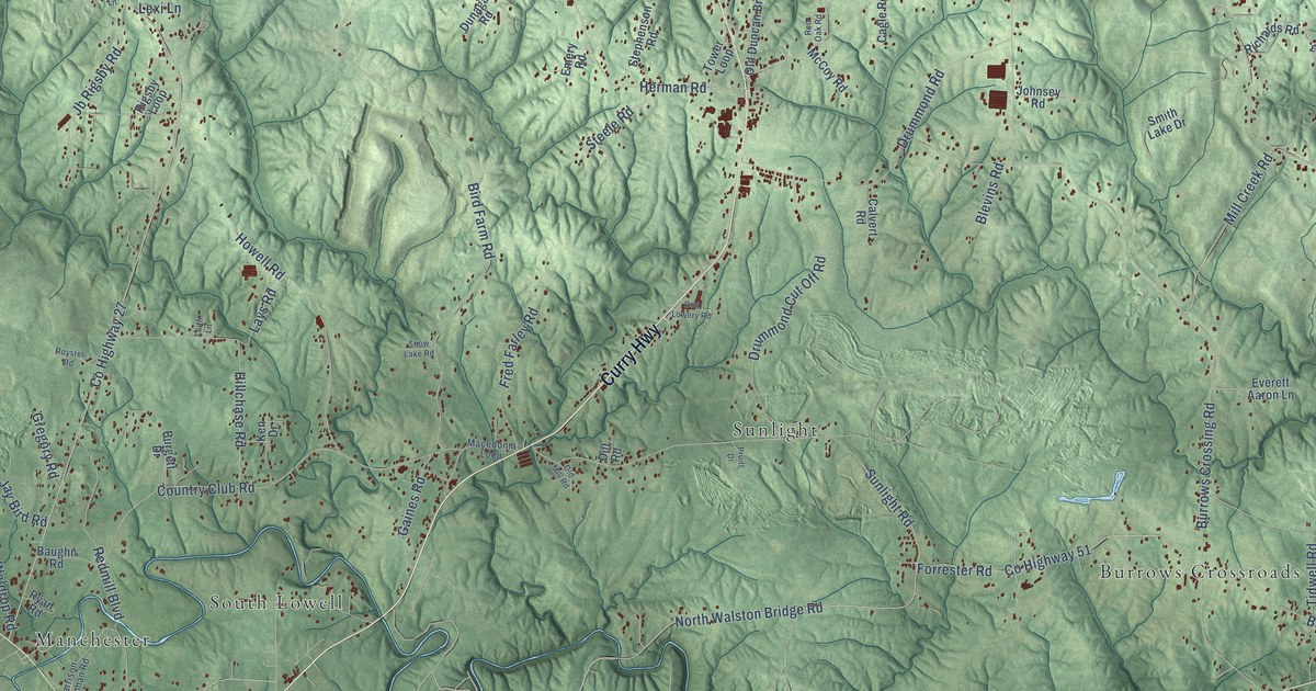
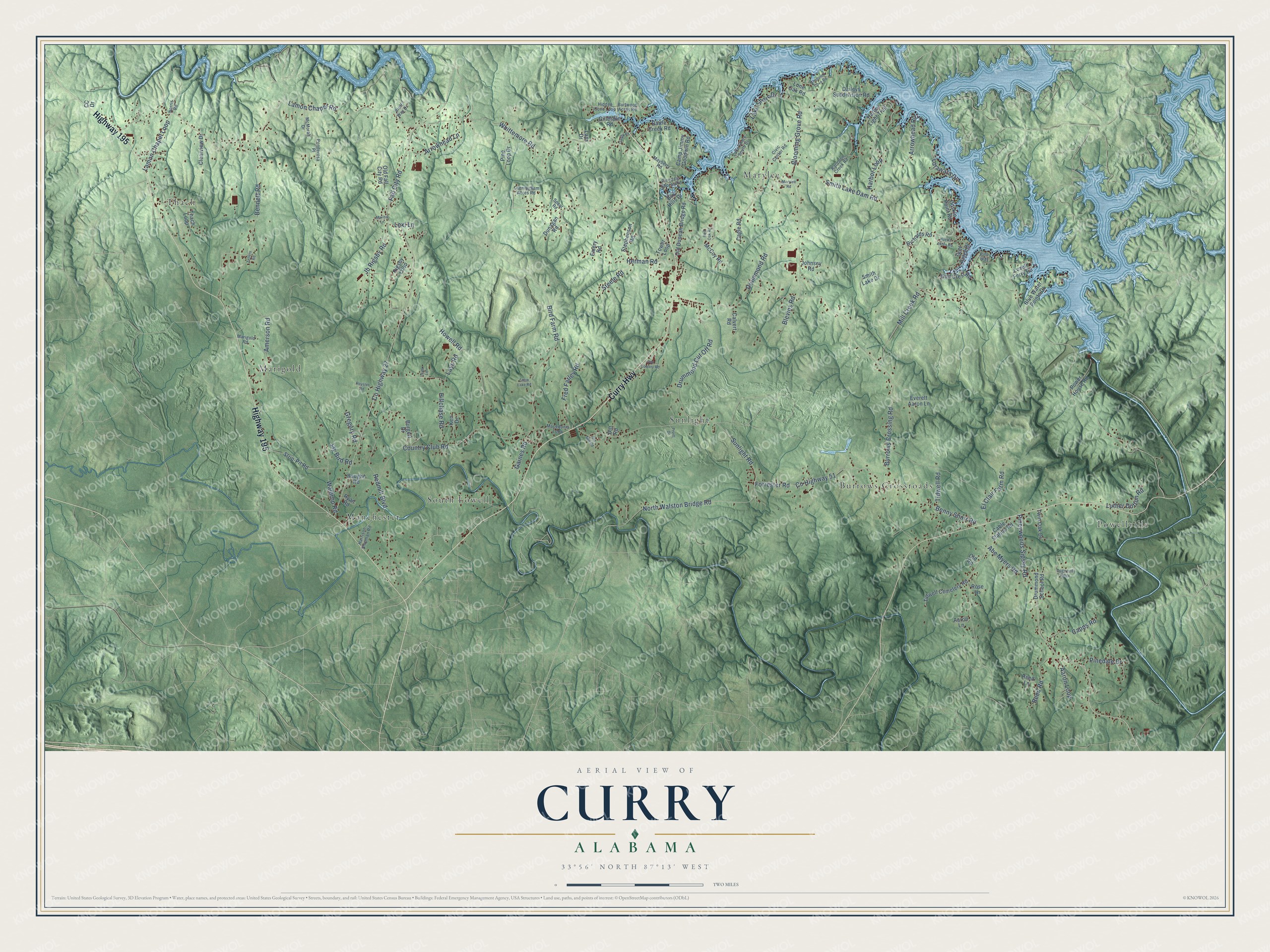
This beautifully detailed map of Curry, Alabama was created in 2026 using aerial imagery combined with modern topographical, census, street and landmark data. It’s a one-of-a-kind view of Curry that combines accurate data with a vintage aesthetic. The map shows every building in its true location, many of the roads carry their names, and the shaded topographic relief shows the shape of the land.
Explore an aerial view of Curry, Alabama
On the map you’ll find Sunlight, Manchester, Marylee, Powellville, Thach, Marigold, Burrows Crossroads, and South Lowell, along with Highway 195, Curry Highway, Lamon Chapel Road, Pineywoods Sipsey Road, and more. If you look closely you can even find your house accurately drawn in its correct location. Zoom in on the preview to look for yours.
Take a closer look at the Curry map
Names on this map
These names are printed on this map.
Places: Sunlight, Manchester, Marylee, Powellville, Thach, Marigold, Burrows Crossroads and South Lowell.
Streets and roads: Highway 195, Curry Highway, Lamon Chapel Road, Pineywoods Sipsey Road, Amerson Road, Mill Creek Road, Waldrop Road, North Walston Bridge Road, Lamon Chapel Loop, Smith Lake Dam Road, Fall City Road, County Highway 27.
More street names, A to Z
Aaron Lane, Aaron Loop, Abe Myers Road, Arrowhead Lane, Arrowhead Road, Battle Creek Road, Baughn Road, Bay Hills Drive, Bennett Road, Benny Short Road, Bird Farm Road, Blevins Road, Blooming Grove Road, Blue Water Pointe Drive, Bluff Way Drive, Burgett Drive, Burrows Crossing Road, Burtwood Acres Road, Cable Station Road, Cagle Road, Calvert Road, Camp Jimmy Goodwin Road, Capps Road, CC Drive, Civic Center Road, Clearview Drive, Country Club Road, County Highway 51, Cunningham Acres Road, Daileys Subdivision Road, Dill Road, Dogwood Ridge, Don Lowery Road, Drummond Cut Off Road, Drummond Road, Drummond School Road, Dunagan Road, Duskin Point Road, El Clair Farm Road, Emery Road, Everett Aaron Lane, Forrester Road, Fred Farley Road, Gaddy Road, Gaines Road, Gillespie Road, Gregory Road, Gulf Crest Road, Gulf Ridge Drive, Harbor Light Trail, Harbor Loop, Harrison Shipman Road, Herman Road, Hidden Cove Loop, Hillchase Road, Howell Road, Huette Estes Road, Jay Bird Road, Jb Rigsby Road, Johnsey Road, Ken Drive, Lake Shore Drive, Lake Shore South Drive, Lays Drive, Lays Road, Leith Lane, Lexi Lane, Lone Oak Road, Lotawata Drive, Lovell Ferry Road, Luther Dutton Road, Macedonia Loop, Malibu Lane, Marigold Road, Marylee Road, Mayberry Road, McCoy Road, McMorah Drive, Norris Road, Old Duncan Bridge Road, Old Fall City Road, Old Mill Road, Old Road, Pinedale Drive, Pinedale Shores Road, Pine Loop Drive, Pine Way, Ponderosa Place, Power House Road, Pruitt Drive, Raccoon Creek Road, Redmill Boulevard, Red Oak Road, Reed Lane, Reed Road, Richards Road, Rigsby Loop, Rose Lane, Royster Road, Ryan Road, Sheltered Cove Road, Smith Lake Drive, Snow Lake Road, Spear Road, Steele Road, Stephenson Road, Strip-Pit Road, Sunlight Road, Thach Loop, Tidwell Cemetery Road, Tidwell Road, Tower Loop, Twin Oak Drive, Whittemore Road, Zellers Road.
See it on a wall
The Curry map as a framed print. Swipe for more.


This beautifully detailed map of Curry makes an attractive addition to your office, library, or den, and it can even be used to teach children the geography and history of the area. It also makes a great gift for someone who left Curry and still calls it home. When you’re done exploring, click here to get your copy of the Curry map.