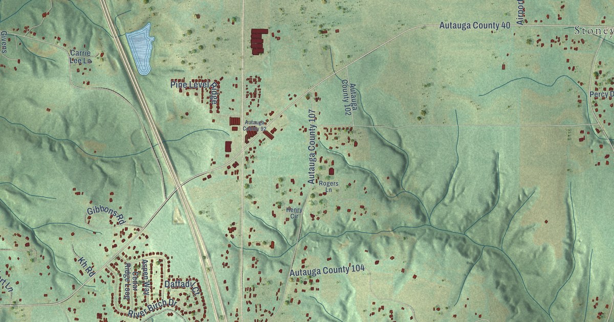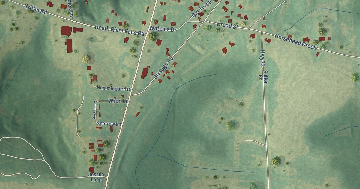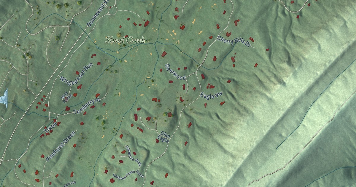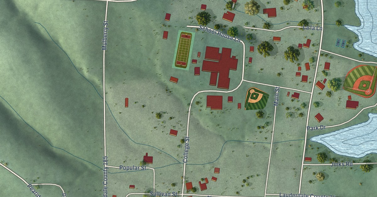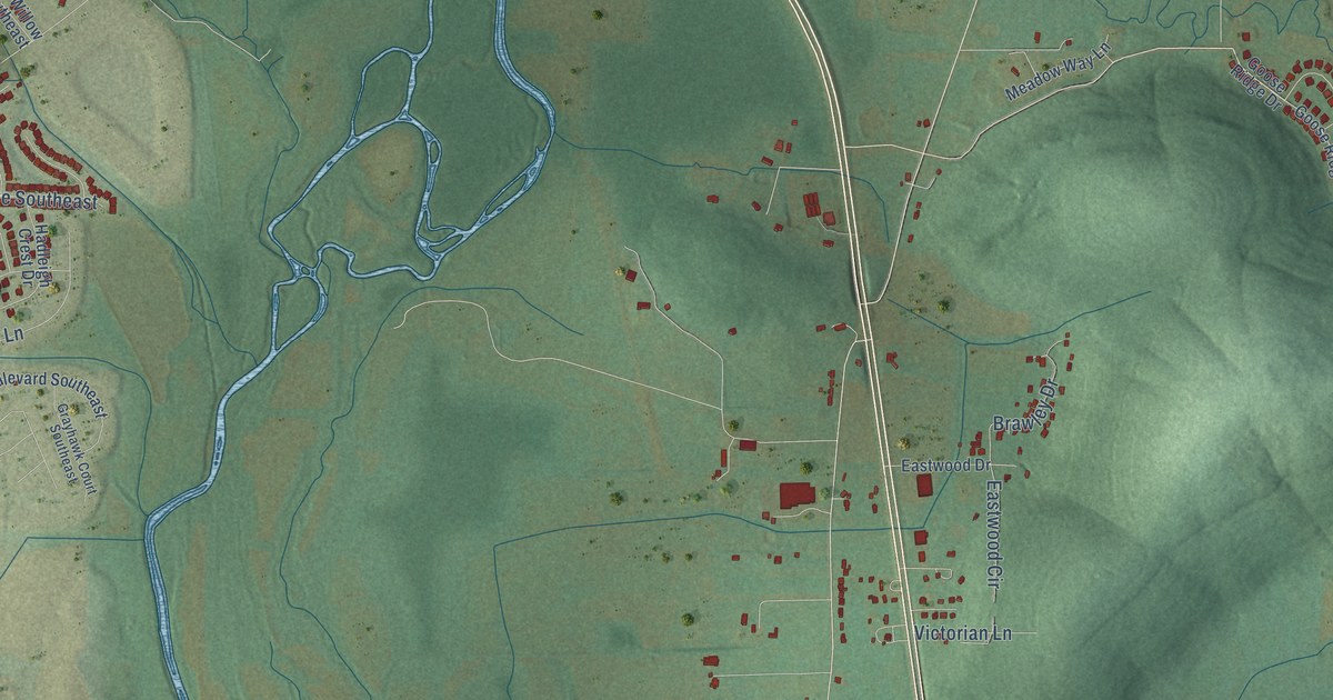
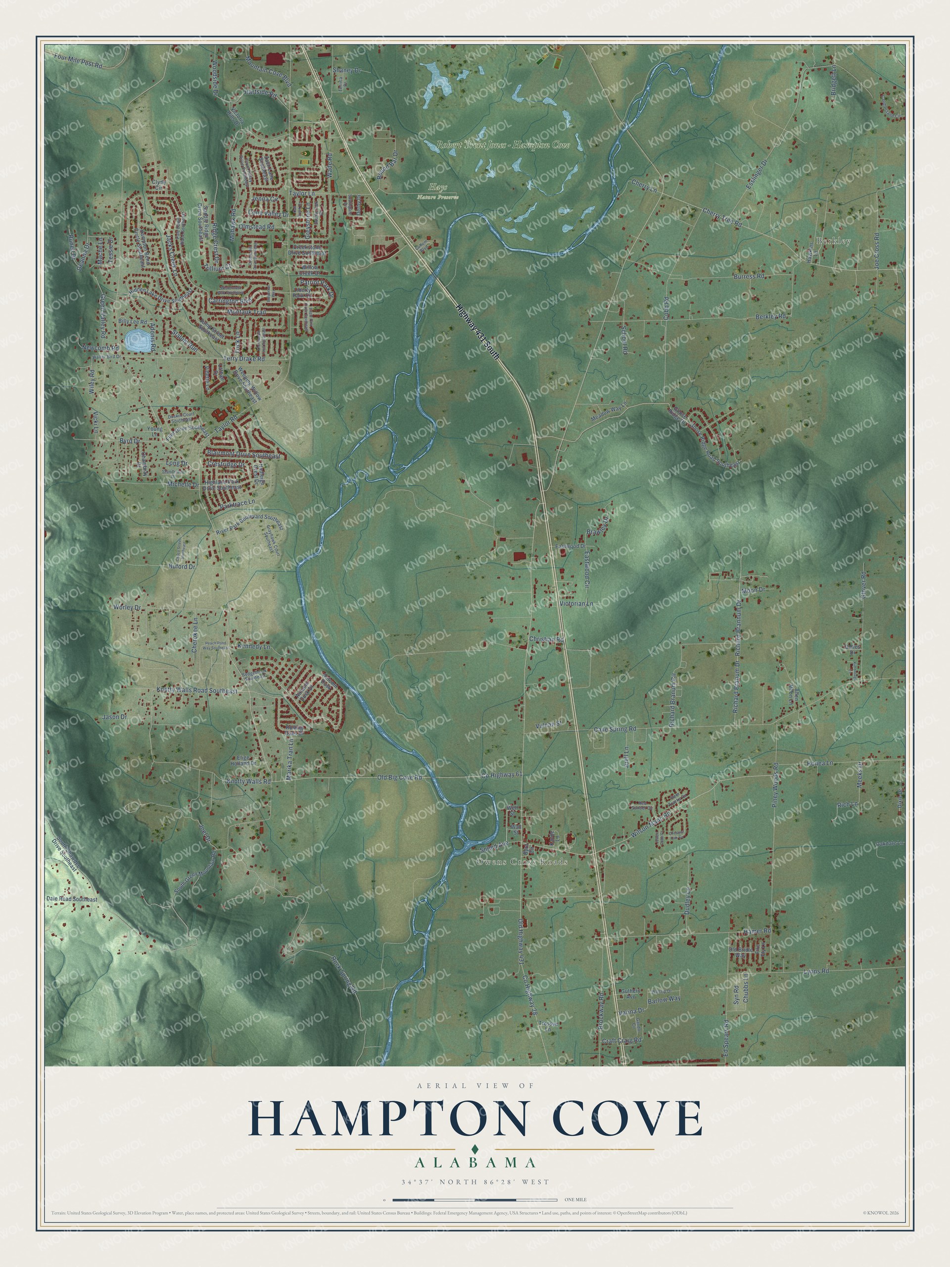
This beautifully detailed map of Hampton Cove, Alabama was created in 2026 using aerial imagery combined with modern topographical, census, street and landmark data. It’s a one-of-a-kind view of Hampton Cove that combines accurate data with a vintage aesthetic. The map shows every building in its true location, many of the roads carry their names, and the shaded topographic relief shows the shape of the land.
Explore an aerial view of Hampton Cove, Alabama
On the map you’ll find Berkley, Owens Cross Roads, Hays Nature Preserve, and Robert Trent Jones – Hampton Cove, along with Highway 431 South, Cone Valley Drive, County Highway 28, Knotty Walls Road Southeast, Old Highway 431, Old Big Cove Road, County Highway 61, Rock Spring Road, and more. If you look closely you can even find your house accurately drawn in its correct location. Zoom in on the preview to look for yours.
Take a closer look at the Hampton Cove map
Names on this map
These names are printed on this map.
Places: Berkley, Owens Cross Roads, Hays Nature Preserve and Robert Trent Jones - Hampton Cove.
Streets and roads: Highway 431 South, Cone Valley Drive, County Highway 28, Knotty Walls Road Southeast, Old Highway 431, Old Big Cove Road, County Highway 61, Rock Spring Road, Taylor Road, Cave Spring Road, Knotty Walls Road, Wilson Mann Road.
More street names, A to Z
Adonis Road, Allen Moon Lane, Autumn Dusk, Autumn Dusk Drive, Barlow Way, Berkley Road, Billy Lee Road, Blairmont Drive Southeast, Brawley Drive, Breyerton Way, Bridgett Lane, Brockway Road, Buford Drive, Burress Road, Byrd Circle, Byrd Drive, Candlestand Circle, Carrington Boulevard, Chaco Street Southeast, Chambray Drive, Cherokee Lane, Cherry Lane, Cherry Tree Road, Chestnut Oak Circle, Christian Road, Chubbs Lane, Clyde Circle, Cobble Hill Drive Southeast, Cobb Road, Cove Valley Drive Southeast, Craft Craig Road, Creekstone Drive Southeast, Crestridge Drive, Cullom Boulevard, Dale Road Southeast, Deanna Drive, Deer Tracks Circle, Derby Drive, Dixie Drive, Dudley Lane, Dukes Drive, Duskin Court Southeast, Eagle Park Circle Southeast, Eastwood Circle, Eastwood Drive, Ed Spears Road, Elige Holland Drive, Esslinger Drive, Fire Fly Lane, Flint Drive Southeast, Four Mile Post Road, Gandor Circle, Glover Road, Goose Ridge Drive, Goose Ridge Road Southeast, Grayhawk Court Southeast, Green Valley Road, Greystone Lane, Guthery Avenue, Hadleigh Crest Drive, Hamer Road, Hampton Bend Circle Southeast, Hartside Road, Hawkins Lane, Hidden Lake Drive Southeast, Highland Park Drive Southeast, Honea Lane, Jacks Creek Lane, Jason Drive, Jenna Circle, Jewell Cobb Court, Joe Cross Road, Joel Drive, Juell Lane, Jump Street Southeast, Kayde Lane, Kennedy Lane, Kimbrough Lane, Lathan Drive, Liberty Park Circle, Long Drive, Lyons Road, Mache Lane, Marika Tran Lane, Meadow Way Lane, Meeks Drive, Michelle Drive, Mohawk Road, Montauk Trail, Moon Drive, Mountain Cove Boulevard, Newcomb Road, Oak Creek Circle, Oakdale Lane, Old Bridle Way, Olmstead Road, Pale Dawn Place Southeast, Parktrace Lane, Patriot Park Drive, Peach Pond Way Southeast, Piney Woods Road, Red Sunset Circle, Richard Brannum Drive, Richard Branum Circle, Richard Branum Drive, Rich Lane, Ridge Crest Drive, River Park Boulevard Southeast, Rolling Oaks Drive, Round Bar Drive, Runell Drive, Saddle Ridge Drive Southeast, School Road, Sedgebrook Southeast, Shaney Drive, Slalom Run, Sneed Avenue, Southcreek Drive, Southgate Drive, South Green Mountain Road, South Shawdee Drive Southeast, Standridoe Drive, Syn Road, Taylor Lane, Terrica Drive, Terry Drake Road, Tessie Drive, Thornwood Lane Southeast, Tressye Lane, Trick Lane, Trillium Court, Varina Drive, Vicki Lane, Victoria Hills Drive, Victorian Lane, Vidette Lane, Vulcan Street, Wade Road, Wall Street, Walter Bird Drive, Waltrip Drive, Weeping Willow Drive Southeast, Well Street, Wiley Road, Willow Creek Drive, Wintercrest Way Southeast, Woodside Drive, Worley Drive, Young Lane, Zach Lane Southeast.
See it on a wall
The Hampton Cove map as a framed print. Swipe for more.


This beautifully detailed map of Hampton Cove makes an attractive addition to your office, library, or den, and it can even be used to teach children the geography and history of the area. It also makes a great gift for anyone who grew up in Hampton Cove or moved away. When you’re done exploring, click here to get your copy of the Hampton Cove map.