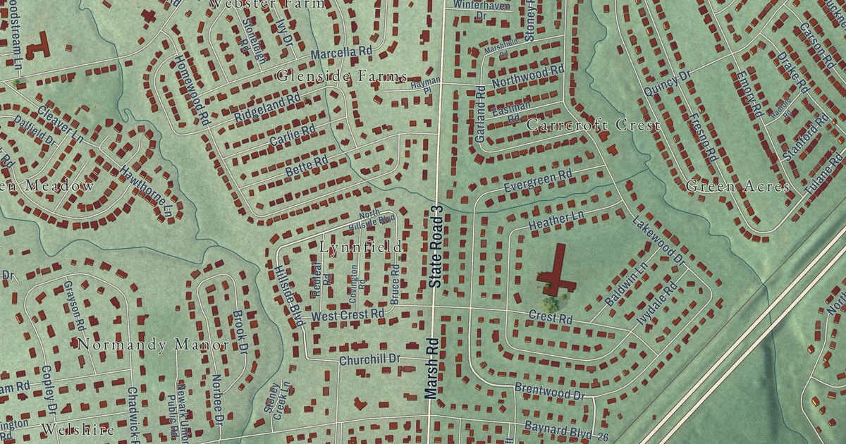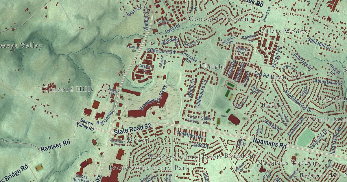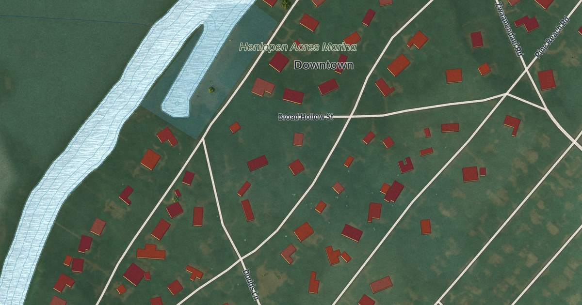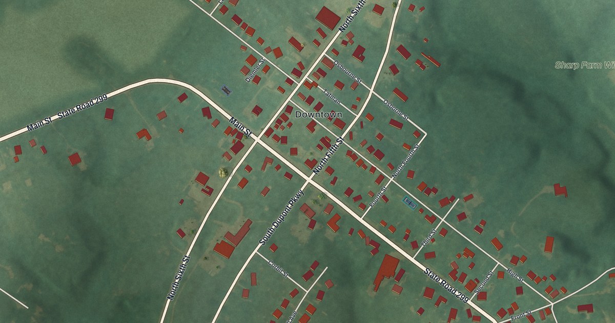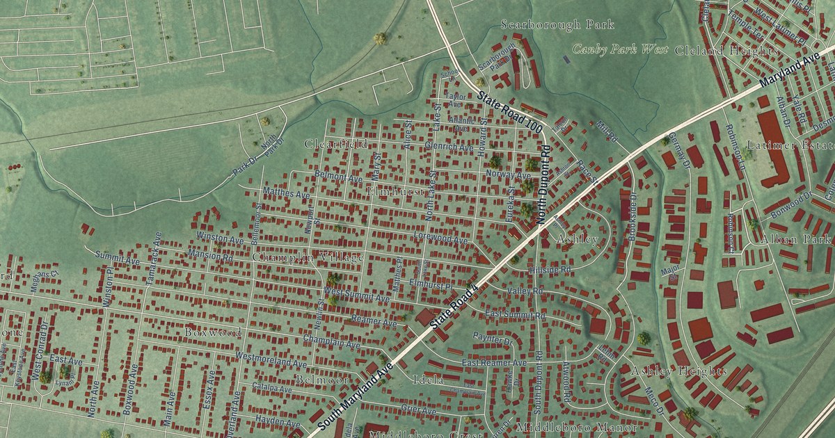
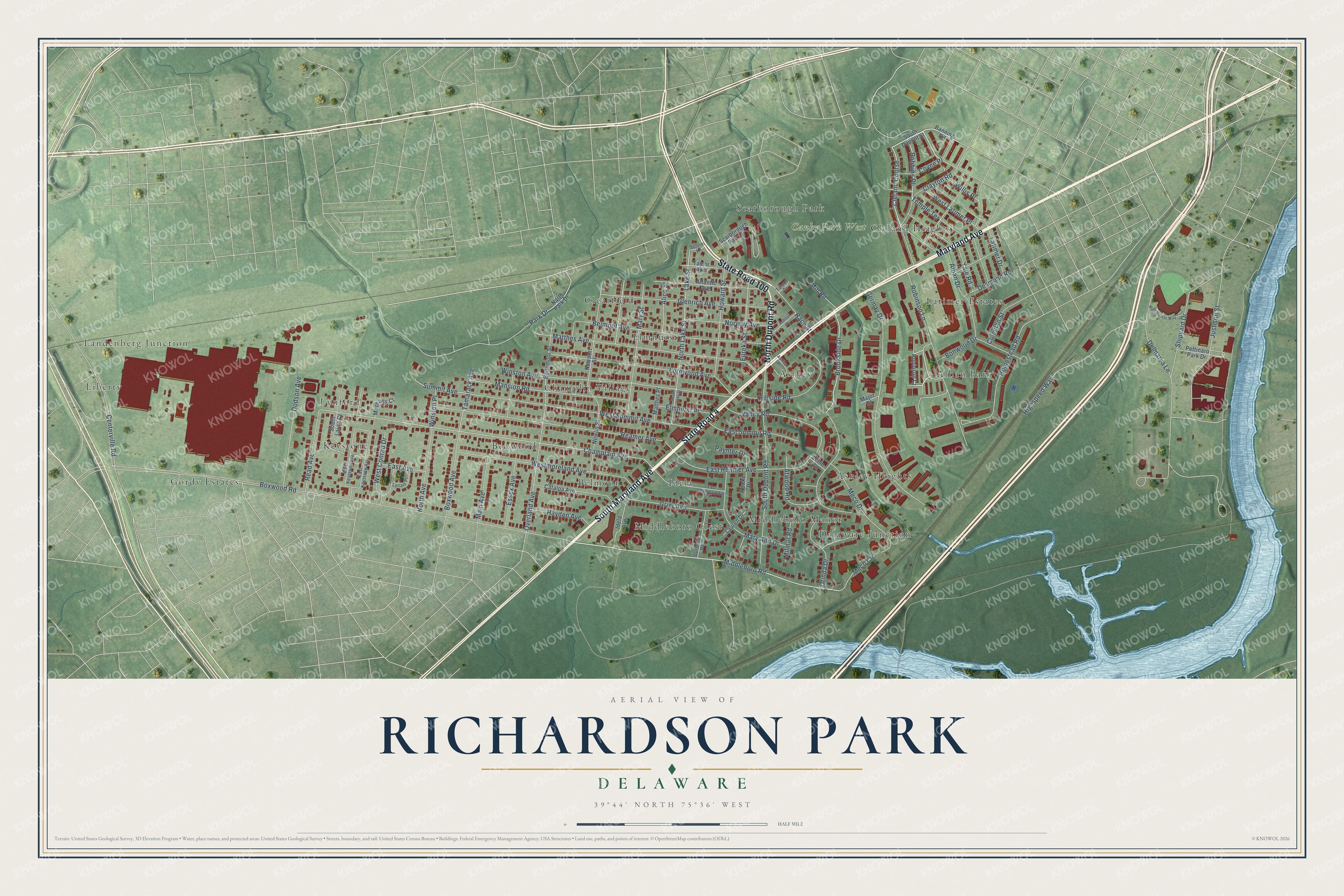
This beautifully detailed map of Richardson Park, Delaware was created in 2026 using aerial imagery combined with modern topographical, census, street and landmark data. It’s a one-of-a-kind view of Richardson Park that combines accurate data with a vintage aesthetic. The map shows every building in its true location, many of the roads carry their names, and the shaded topographic relief shows the shape of the land.
Explore an aerial view of Richardson Park, Delaware
On the map you’ll find Canby Park West, Gordy Estates, Idela, Delaware Junction, Lynford, Clearfield, Ashley, Alban Park, Landenberg Junction, Cleland Heights, Middleboro Manor, Boxwood, and more. If you look closely you can even find your house accurately drawn in its correct location. Zoom in on the preview to look for yours.
Take a closer look at the Richardson Park map
Names on this map
These names are printed on this map.
Places: Canby Park West, Gordy Estates, Idela, Delaware Junction, Lynford, Clearfield, Ashley, Alban Park, Landenberg Junction, Cleland Heights, Middleboro Manor, Boxwood, Scarborough Park, Champlin Village, Latimer Estates, Middleboro Crest, Elmhurst, Ashley Heights, Keystone, Belmoor and Liberty.
Streets and roads: South Maryland Avenue, Maryland Avenue, State Road 100, North Dupont Road, State Road 4, Cleland Course, Middleboro Road, Brookside Drive, Robbins Place, Champlain Avenue, Overland Avenue, Boxwood Road.
More street names, A to Z
Alban Drive, Alice Street, Ashley Place, Ashton Street, Atlantic Avenue, Atwood Road, Banning Road, Bellemoor Street, Belmont Avenue, Bonwood Drive, Boxwood Avenue, Catalpa Avenue, Centerville Road, Clayton Road, Coleman Street, Coyne Place, Cushman Road, Delmarva Lane, Desmond Road, Dodson Avenue, East Avenue, East Champlain Avenue, East Keystone Avenue, East Reamer Avenue, East Summit Road, Elmhurst Place, Essex Avenue, Eureka Street, Germay Drive, Glenrich Avenue, Grier Avenue, Hawke Drive, Hayden Avenue, Highspeed Way, Hillside Road, Homestead Road, Howard Street, Idela Avenue, Justison Street, Lake Street, Latimer Drive, Lauren Drive, Lehm Road, Lorewood Avenue, Lynam Place, Main Avenue, Major Street, Mansion Road, Mary Ann Drive, Mary Street, Matthes Avenue, Matthes Place, Matt Minker Way, Meco Circle, Meco Drive, Meghans Court, Mill Road, Milmar Road, Newlin Street, Newport Street, North Avenue, North Lake Street, North Park Drive, Norway Avenue, Orinda Drive, Park Drive, Paynter Drive, Pettinaro Park Drive, Race Street, Read Avenue, Reamer Avenue, Robinson Court, Robinson Lane, Scarborough Park Drive, School Lane, Shipyard Drive, South Dupont Road, South Dupont Street, South Lake Street, South Laura Court, Summit Avenue, Talcon Drive, Tamarack Avenue, Taylor Avenue, Temple Terrace, Valley Road, West Conrad Drive, West Keystone Avenue, West Latimer Place, Westmoreland Avenue, West Summit Avenue, Willis Place, Winston Avenue, Winston Place, Yale Road.
See it on a wall
The Richardson Park map as a framed print. Swipe for more.


This beautifully detailed map of Richardson Park makes an attractive addition to your office, library, or den, and it can even be used to teach children the geography and history of the area. It also makes a great gift for someone who left Richardson Park and still calls it home. When you’re done exploring, click here to get your copy of the Richardson Park map.