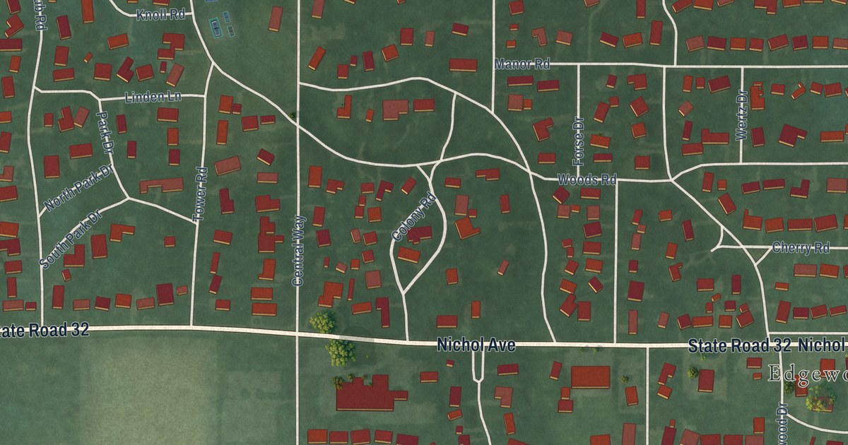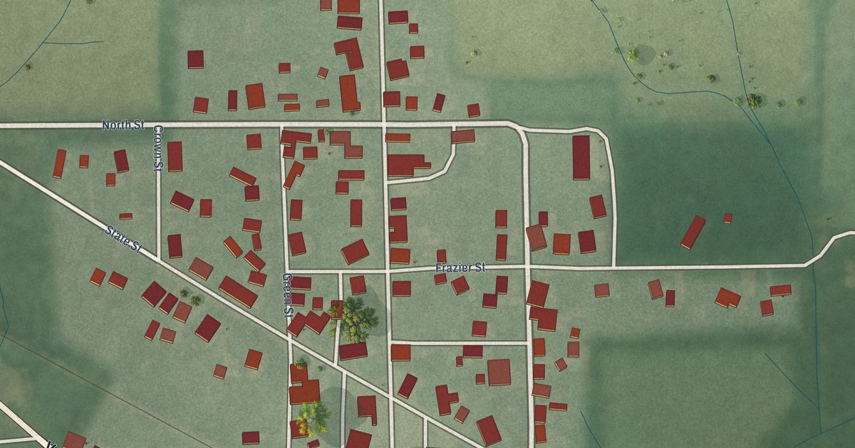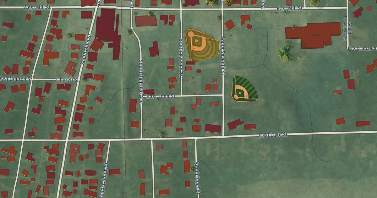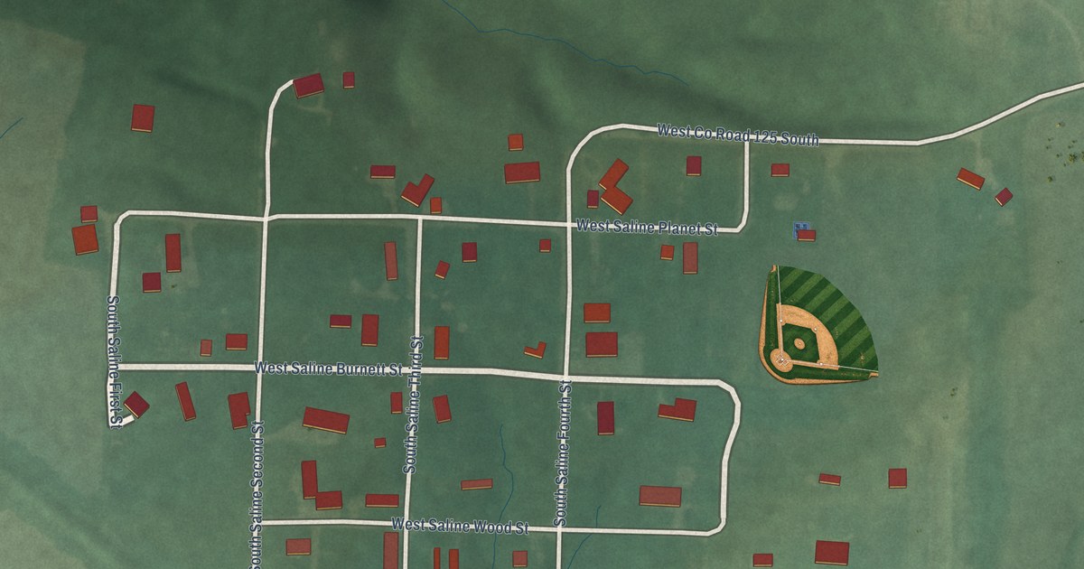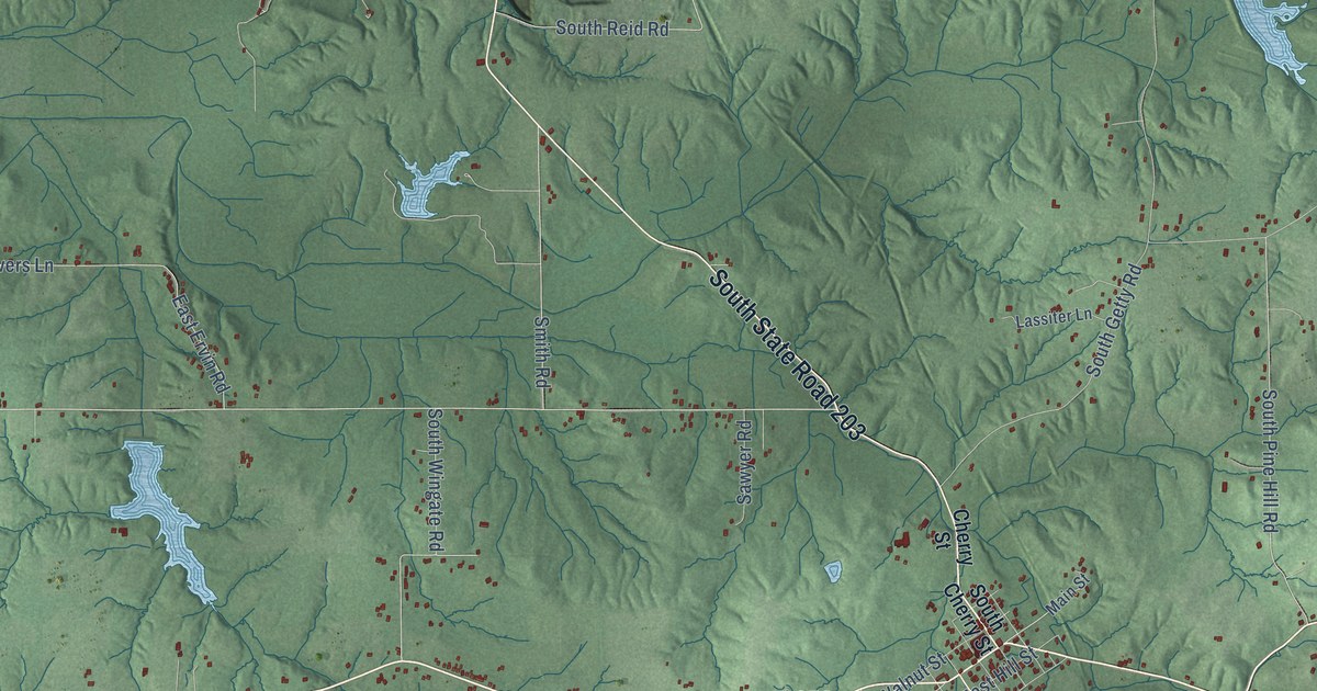
This beautifully detailed map of Lexington, Indiana was created in 2026 using aerial imagery combined with modern topographical, census, street and landmark data. It’s a one-of-a-kind view of Lexington that combines accurate data with a vintage aesthetic. The map shows every building in its true location, many of the roads carry their names, and the shaded topographic relief shows the shape of the land.
Explore an aerial view of Lexington, Indiana
On the map you’ll find Goshen, Nabb, East State Road 356, East State Road 56, North State Road 3, South State Road 203, and East State Road 362, along with State Road 3, State Road 356, State Road 56, State Road 203, County Line Road, and more. If you look closely you can even find your house accurately drawn in its correct location. Zoom in on the preview to look for yours.
Did You Know?
From Internet Archive: "The last mentioned was Charles Saunders, who established himself in the county in Kentucky of which Lexington is the county seat, and grew wealthy as a farmer and stock raiser."
Lexington is a community in Scott County.
Take a closer look at the Lexington map
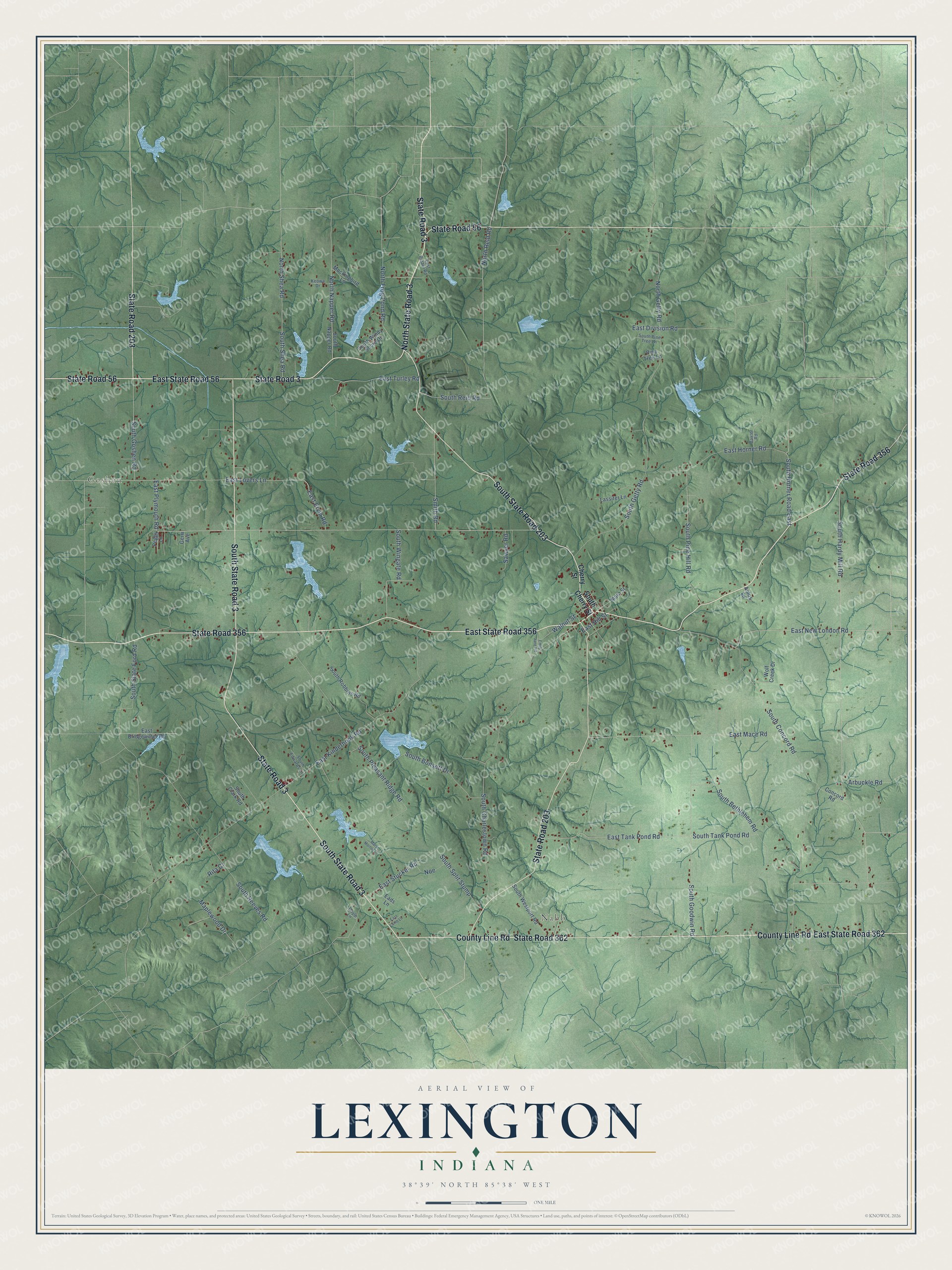
Names on this map
These names are printed on this map.
Places: Goshen and Nabb.
Streets and roads: State Road 3, State Road 356, East State Road 356, East State Road 56, North State Road 3, State Road 56, South State Road 203, State Road 203, County Line Road, East State Road 362, State Road 362, South State Road 3.
More street names, A to Z
Amos Lane, Arbuckle Road, Baxter Road, Cherry Street, Concord Road, Doyle Lane, Eads Lane, East Bethel Road, East Bridgewater Road, East Division Road, East Ervin Road, East Hill Street, East Horner Road, East Kinderhook Road, East Lamb Lane, East Lovers Lane, East Mace Road, East New London Road, East Plymouth Road, East Stucker Road, East Tank Pond Road, East Turley Road, Emily Jane Road, Gerri Avenue, Keowa Drive, Lassiter Lane, Main Street, Maplewood Drive, Mary Morton Drive, Mockingbird Lane, Noe, North Frog Pond Road, North Getty Road, North Napper Road, North Reid Road, North Shea Road, Peggy Lane, Pine Tree Lane, Rita Court, Sawyer Road, Smith Road, South Bethlehem Road, South Bonsett Drive, South Charlestown Road, South Cherry Street, South Clark Road, South Concord Road, South Edwards Lane, South Getty Road, South Goodwin Road, South Goshen Road, South Hardy Mill Road, South Horner Road East, South Napper Road, South Pine Hill Road, South Pine Tree Lane, South Pleasant Ridge Road, South Reeves Road, South Reid Road, South Robbins Road, South Shea Road, South Slate Ford Road, South Split Stump, South Tank Pond Road, South Westport Road, South Windy Shore Drive, South Wingate Road, Walnut Street, Wolf Creek Drive.
See it on a wall
The Lexington map as a framed print. Swipe for more.


This beautifully detailed map of Lexington makes an attractive addition to your office, library, or den, and it can even be used to teach children the geography and history of the area. It also makes a great gift for anyone with Lexington roots. When you’re done exploring, click here to get your copy of the Lexington map.