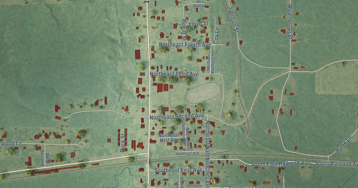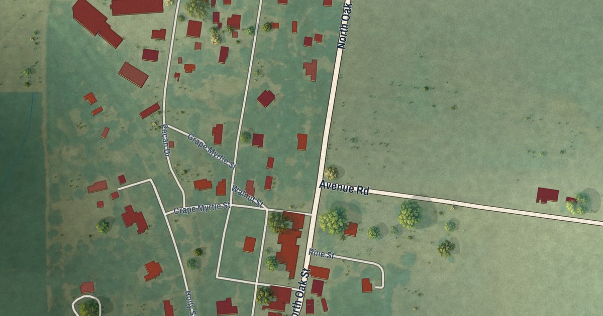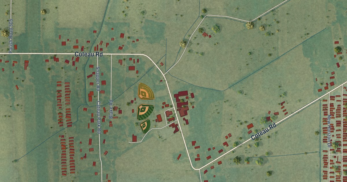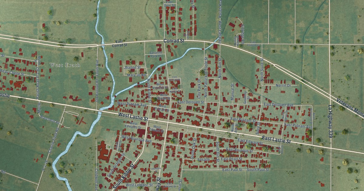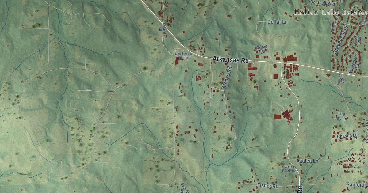
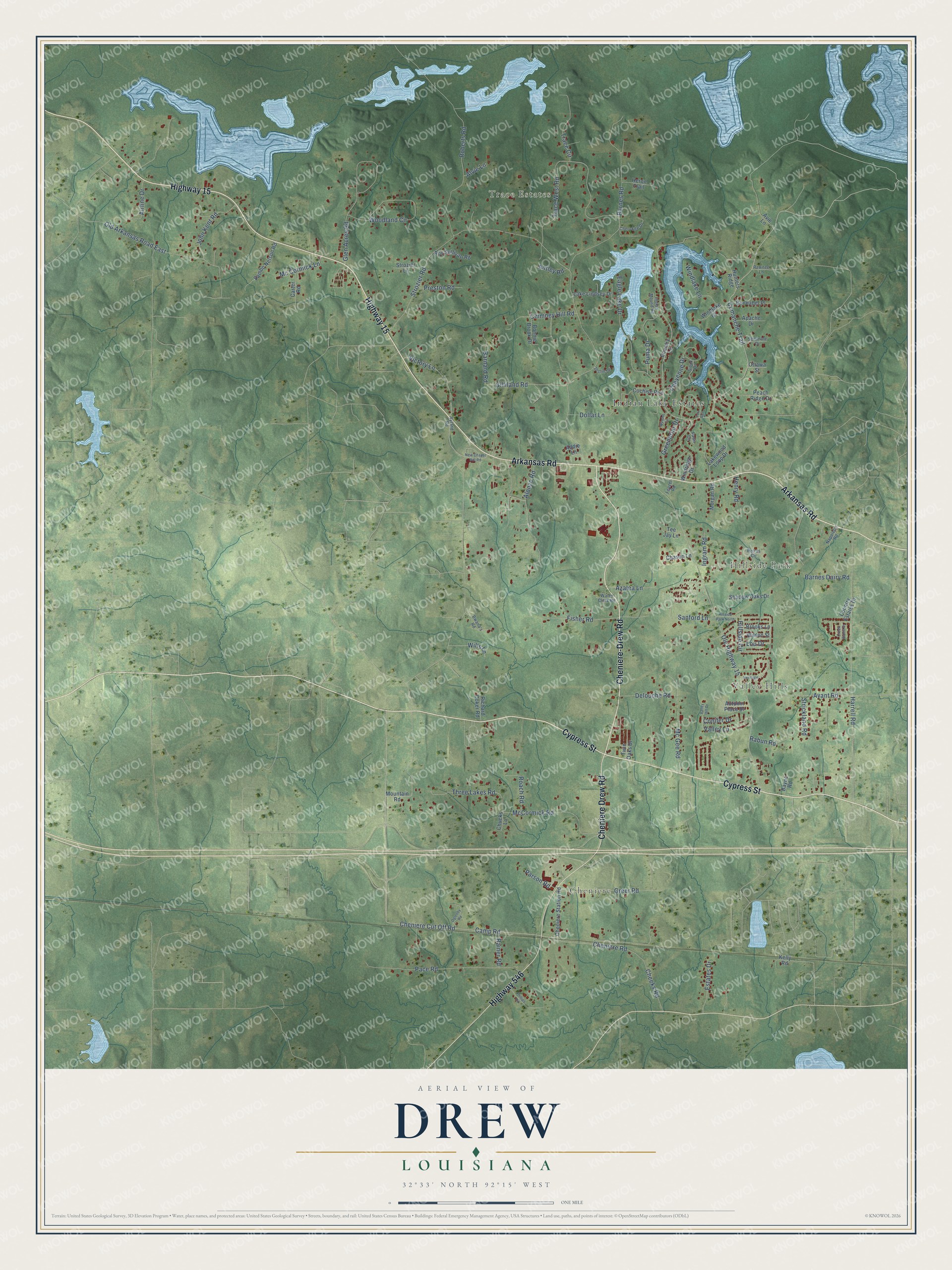
This beautifully detailed map of Drew, Louisiana was created in 2026 using aerial imagery combined with modern topographical, census, street and landmark data. It’s a one-of-a-kind view of Drew that combines accurate data with a vintage aesthetic. The map shows every building in its true location, many of the roads carry their names, and the shaded topographic relief shows the shape of the land.
Explore an aerial view of Drew, Louisiana
On the map you’ll find Cheniere, Trace Estates, Valley Hills, Hillside Park, and Indian Lake Estates, along with Highway 15, Arkansas Road, Cheniere-Drew Road, Cypress Street, Highway 546, Comanche Trail, and more. If you look closely you can even find your house accurately drawn in its correct location. Zoom in on the preview to look for yours.
Take a closer look at the Drew map
Names on this map
These names are printed on this map.
Places: Cheniere, Trace Estates, Valley Hills, Hillside Park and Indian Lake Estates.
Streets and roads: Highway 15, Arkansas Road, Cheniere-Drew Road, Cypress Street, Highway 546, Cheniere Drew Road, Comanche Trail, Victory Lane, Harrell Road, Alonzo Road, Cheeks Road, Mc Cormick Lane.
More street names, A to Z
Addie Lane, Airline Drive, Alvie Lane, Antley Road, Apache Drive, Autumn Place Drive, Avant Road, Avie Lane, Azalea Lane, Barnard Road, Barnes Dairy Road, Barnes Road, Bayne Road, Bonnabel Place, Bonnie Brook Drive, Brooks Lane, Bwana's Road, Camp Road, Carter Road, Chason Lane, Cheniere Cut Off Road, Cheniere Road, Cheniere Station Road, Cherokee Drive, Cheyenne Drive, Chimney Hill Road, Chucks Lane, Cochise Run, Conifer Drive, Country Estates Drive, Country Lane, Creek Stone Drive, Delouche Road, Dollar Lane, Eagle Lake Drive, Estates Drive, Fawn Circle, Feazel Road, Fisher Road, Fox Run, Gilliland Road, Glen Acres Road, Greenbriar Drive, Greer Road, Henry Road, Heritage, Heron Trail, Hillside Circle, Hillside Park North, Hunters Ridge, Indian Mound Road, Ingram Road, John Kent Road, Joslin Lane, Kelly Road, Lake Lindsey Drive, Lakewood Loop Drive, Lou Drive, McCormick Road, Mc Gee Road, Morgan Road, Mountain Road, Napoleon Road, New Chapel Hill Road, Oglesby Road, Old Arkansas Road East, Ole Highway 15, Ottawa Street, Pace Road, Parson Road, Pawnee Lane, Peach Ridge Drive, Petrus Circle, Phillips Road, Preston Road, Puma Drive, Rabun Road, Rainer Road, Richard Coker Road, Roach Road, Roberts Road, Roy Sullivan Road, Ryland Road, Sambo Nelson Road, Sanford Lane, Seminole Drive, Shadow Oaks Drive, Sioux Drive, Strickland Road, Strozier Lane, Strozier Road, Tee Jay Lane, Three Lakes Road, Trace Circle, Trace West Road, Twin Oaks Drive, Valley Hill Drive, Valley Lane, Wales Clark Road, Wills Lane, Wilson Street, Windlake Court, Windlake Lane, Windridge Drive, Woodland Circle, Wyndot Circle.
See it on a wall
The Drew map as a framed print. Swipe for more.


This beautifully detailed map of Drew makes an attractive addition to your office, library, or den, and it can even be used to teach children the geography and history of the area. It also makes a great gift for anyone with Drew roots. When you’re done exploring, click here to get your copy of the Drew map.