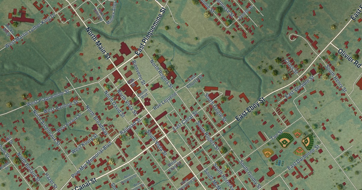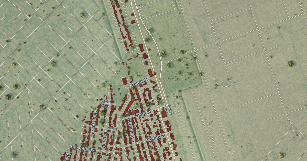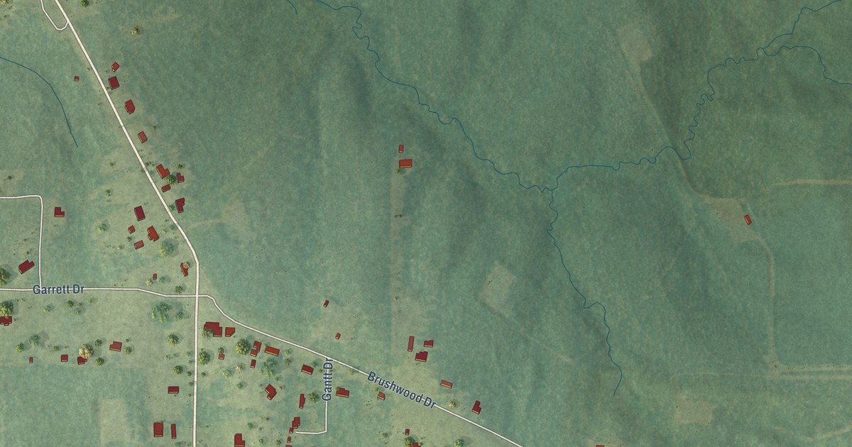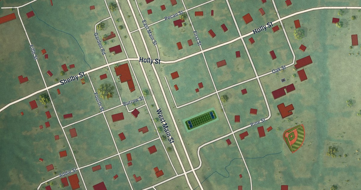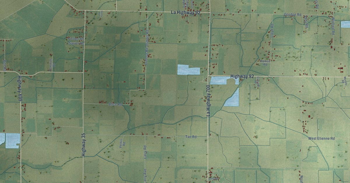
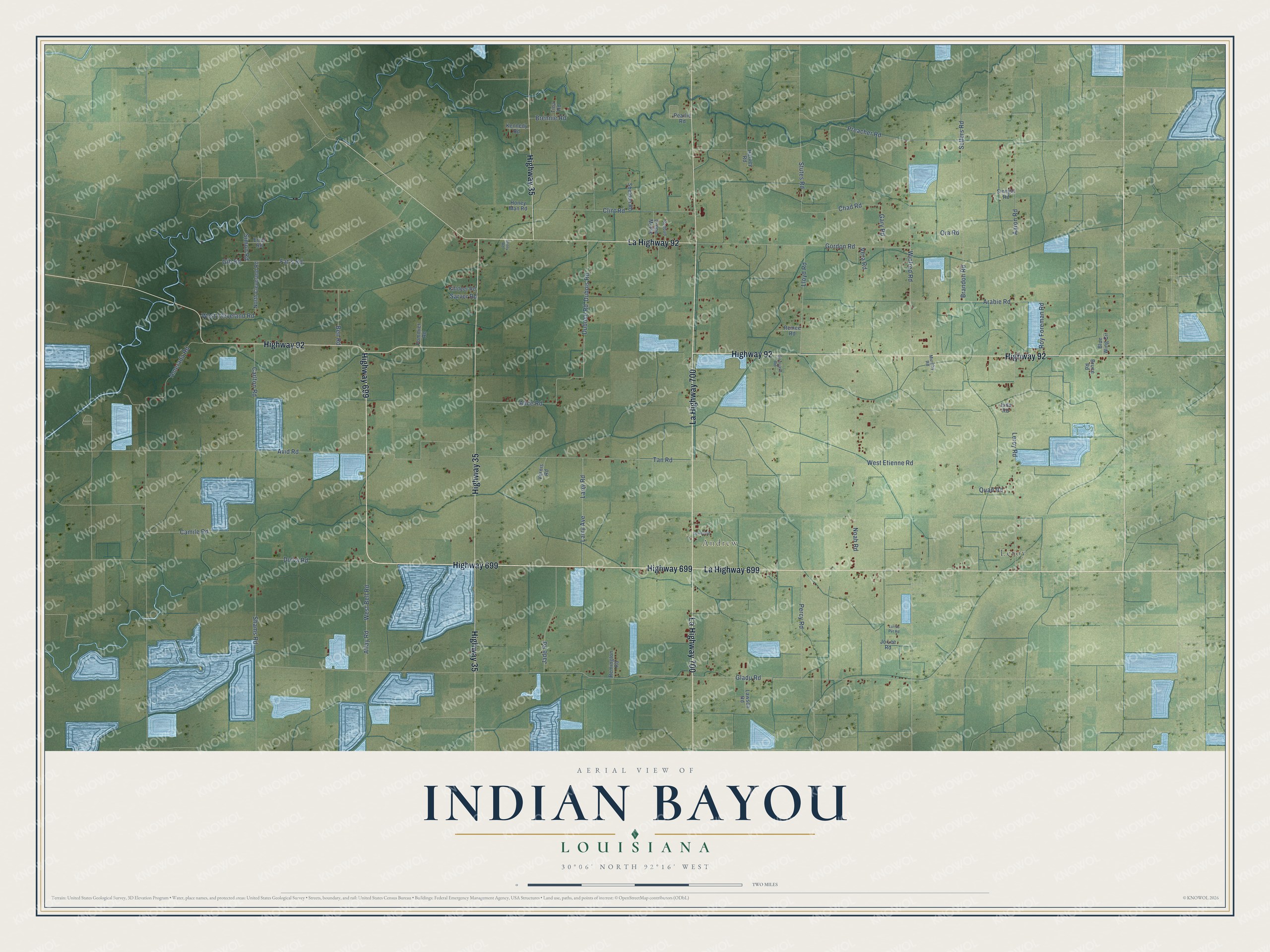
This beautifully detailed map of Indian Bayou, Louisiana was created in 2026 using aerial imagery combined with modern topographical, census, street and landmark data. It’s a one-of-a-kind view of Indian Bayou that combines accurate data with a vintage aesthetic. The map shows every building in its true location, many of the roads carry their names, and the shaded topographic relief shows the shape of the land.
Explore an aerial view of Indian Bayou, Louisiana
On the map you’ll find Andrew and Leroy, along with Highway 699, La Highway 700, Highway 92, La Highway 92, La Highway 699, Highway 35, Sellers Road, Simon Road, Dubois Road, Dubose Road, and more. If you look closely you can even find your house accurately drawn in its correct location. Zoom in on the preview to look for yours.
Take a closer look at the Indian Bayou map
Names on this map
These names are printed on this map.
Places: Andrew and Leroy.
Streets and roads: Highway 699, La Highway 700, Highway 92, La Highway 92, La Highway 699, Highway 35, Sellers Road, Simon Road, Dubois Road, Dubose Road, Avid Road, Gladu Road.
More street names, A to Z
Aaron Road, Alfay Road, Alice Road, Amerada Road, Arabie Road, Ben Road, Blue Wing Circle, Brandon Road, Brennie Road, Bruce Road, Camile Road, Carlton Road, Chad Road, Clint Road, Crepe Myrtle, Dewey Road, Dulva Road, Errol Road, Fat's Road, Gary Road, Gib Road, Girouard Road, Gordon Road, Harvey Road, Honey Man Road, Jada Road, Jade Road, Jo Lee Road, Kennedy Road, Killdeer Road, Larry Avenue, Larry Road, Lawson Road, Leroy Road, Lloyd Road, Lurnis Pvt Road, Murphy Road, Noah Road, North Cleveland Road, Ora Road, Pearlie Road, Percy Road, Pommier Road, Preacher Road, Quad Road, Redbud, Remee Road, Remington Road, Roy Foreman Road, Sarver Road, Shams Road, Sheldon Road, Sinegal Road, Sonny Road, Stutes Road, Tan Road, Tina Road, Vera Road, Vernis Road, West Bell Road, West Cleveland Road, West Etienne Road, Winfred Road.
See it on a wall
The Indian Bayou map as a framed print. Swipe for more.


This beautifully detailed map of Indian Bayou makes an attractive addition to your office, library, or den, and it can even be used to teach children the geography and history of the area. It also makes a great gift for anyone with Indian Bayou roots. When you’re done exploring, click here to get your copy of the Indian Bayou map.