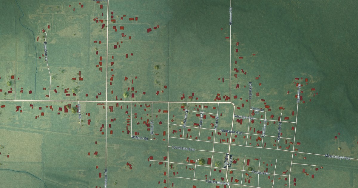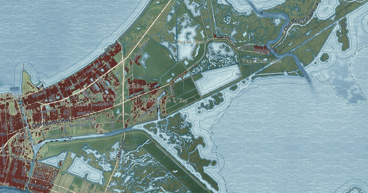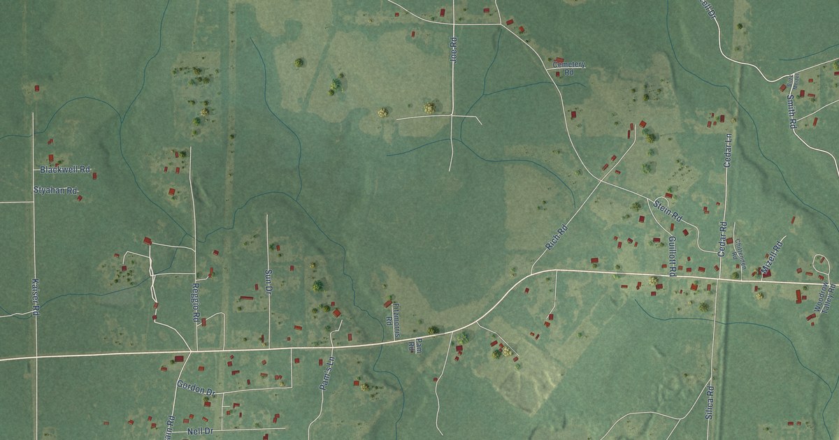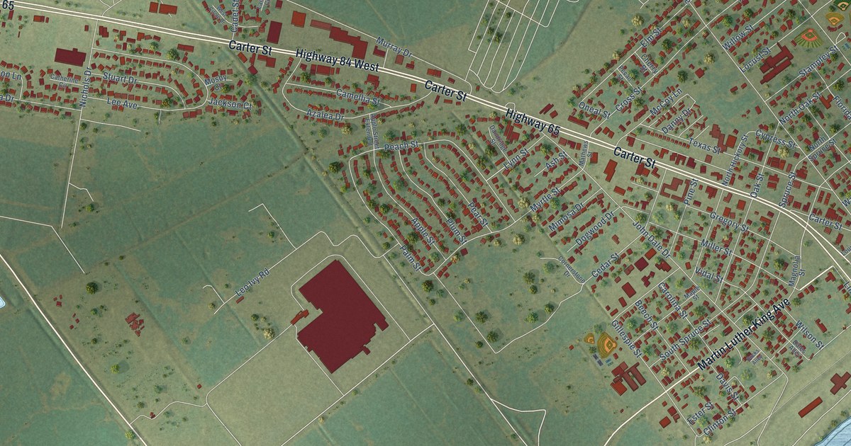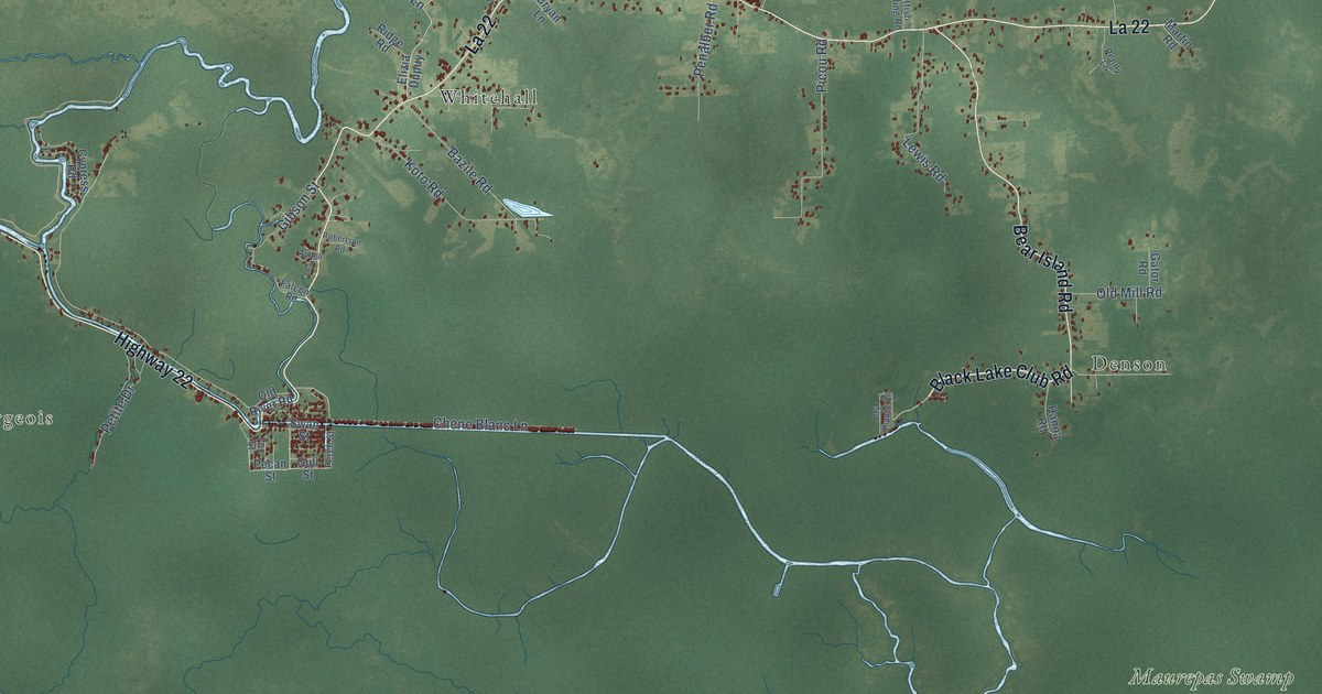
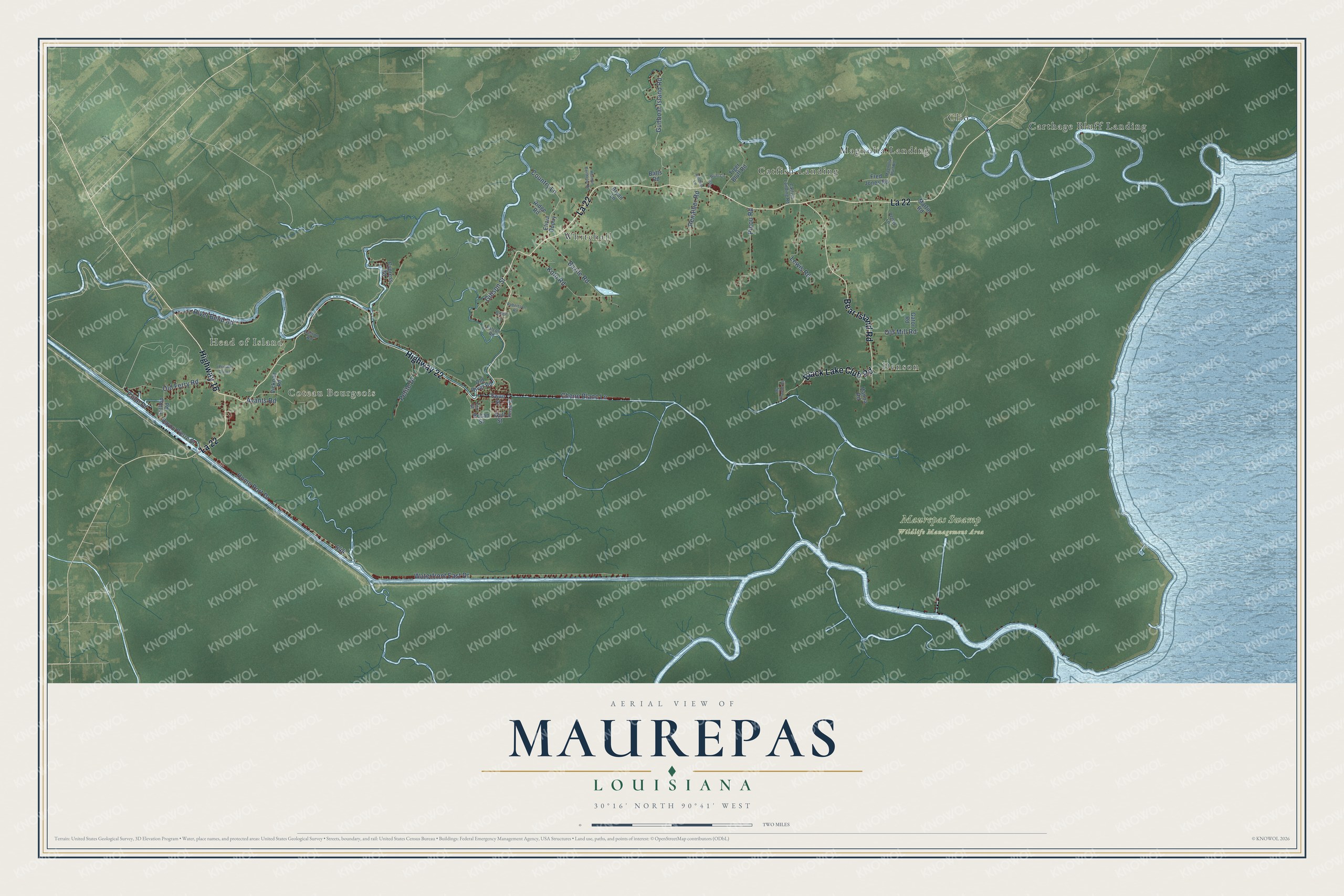
This beautifully detailed map of Maurepas, Louisiana was created in 2026 using aerial imagery combined with modern topographical, census, street and landmark data. It’s a one-of-a-kind view of Maurepas that combines accurate data with a vintage aesthetic. The map shows every building in its true location, many of the roads carry their names, and the shaded topographic relief shows the shape of the land.
Explore an aerial view of Maurepas, Louisiana
On the map you’ll find Coteau Bourgeois, Head of Island, Maurepas Swamp Wildlife Management Area, Carthage Bluff Landing, Whitehall, Denson, Magnolia Landing, Clio, and Catfish Landing, along with Black Lake Club Road, Highway 16, Highway 22, and more. If you look closely you can even find your house accurately drawn in its correct location. Zoom in on the preview to look for yours.
Did You Know?
From Grace Elizabeth King’s 1893 History of Louisiana: "Procuring pirogues, he brought them down Red river to the Mississippi.* On his arrival at the settlement, Iberville put him in command of Fort Maurepas and sailed to France."
Maurepas is a community in Livingston Parish.
Take a closer look at the Maurepas map
Names on this map
These names are printed on this map.
Places: Coteau Bourgeois, Head of Island, Maurepas Swamp Wildlife Management Area, Carthage Bluff Landing, Whitehall, Denson, Magnolia Landing, Clio and Catfish Landing.
Streets and roads: Black Lake Club Road, Highway 16, Highway 22, La 22, Bear Island Road, Home Port Drive, Waterfront East Drive, Gunboat Island Road, Chene Blanc Lane, Picou Road, Koto Road, Lewis Road.
More street names, A to Z
Ashton Road, Avants Road, Aydell Lane, Batts Road, Bayou Pierre Drive, Bazile Road, Berthiot Lane, Bryan Lane, Catfish Landing Road, Cline Drive, Country Lane, Cypress Road, Elizia Dupuy, Falcon Road, Fox Street, Fred Jones Road, Gator Road, Gibson Street, Gull Street, Hanna Road, Herman Berthelot Road, Hilltop Road, Magnolia Bluff Road, Martin Road, My Chance Road, Old Ferry Road, Old Mill Road, Old River Road, Pecan Street, Penalber Road, Penny Lane, Perch Street, Petite Drive, Ridge Road, River Bend Road, Robertson Road, Swan Street, Tiger Bluff Circle, Tiger Bluff Road, Vicknair Road.
See it on a wall
The Maurepas map as a framed print. Swipe for more.


This beautifully detailed map of Maurepas makes an attractive addition to your office, library, or den, and it can even be used to teach children the geography and history of the area. It also makes a great gift for anyone with Maurepas roots. When you’re done exploring, click here to get your copy of the Maurepas map.