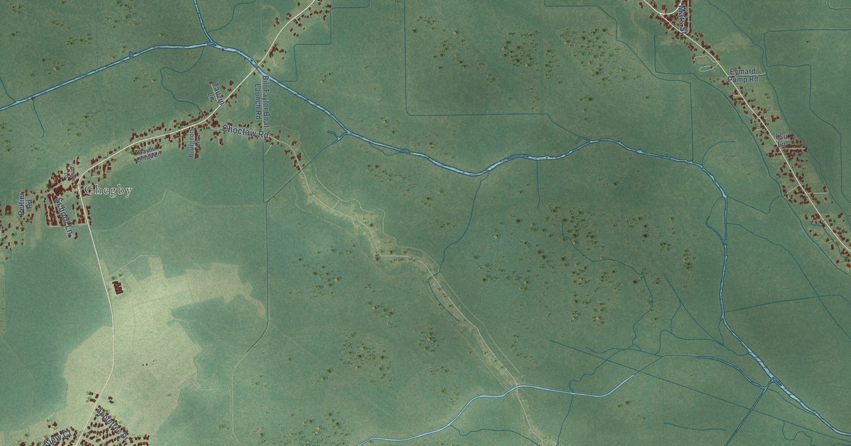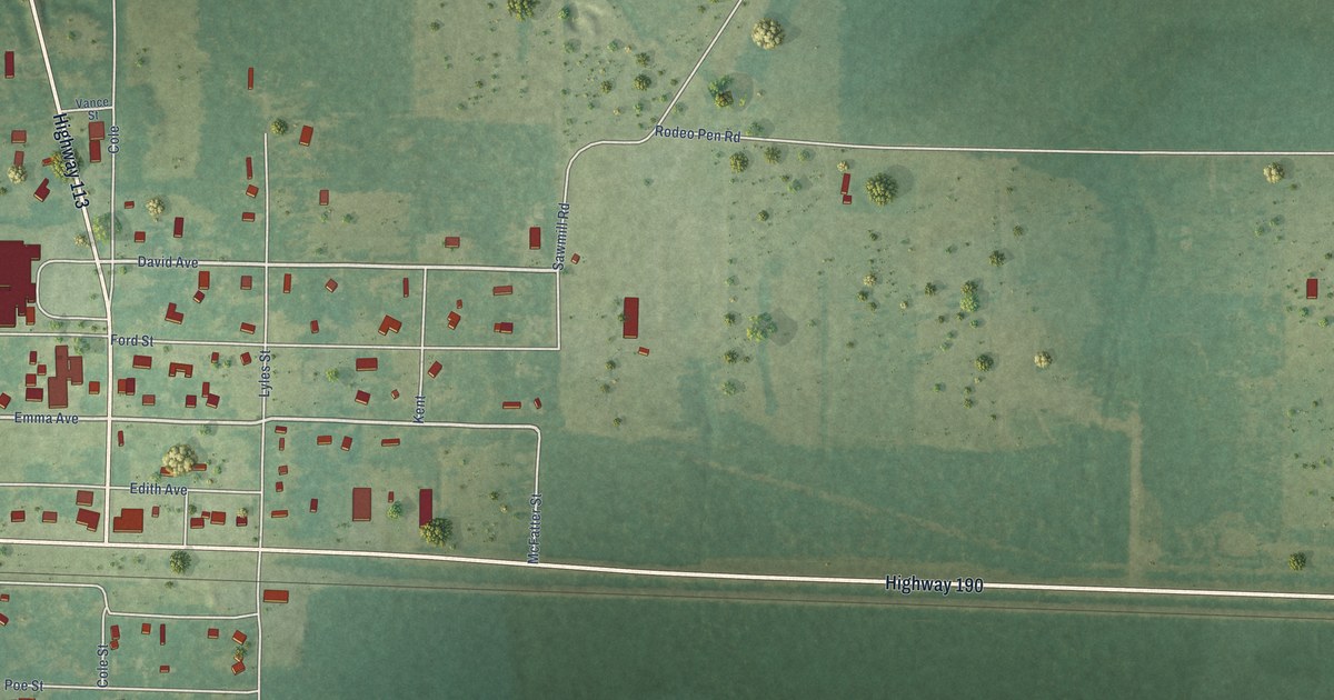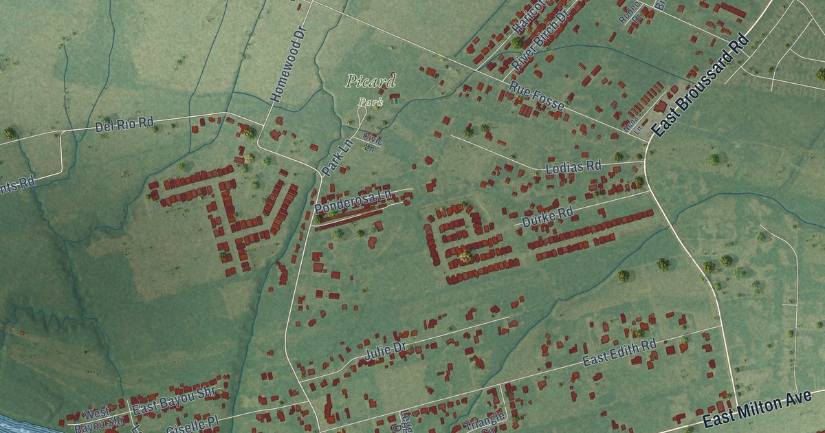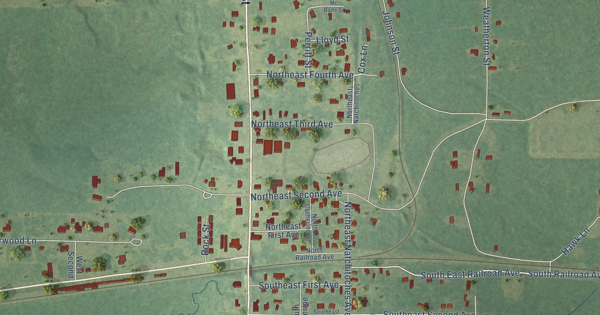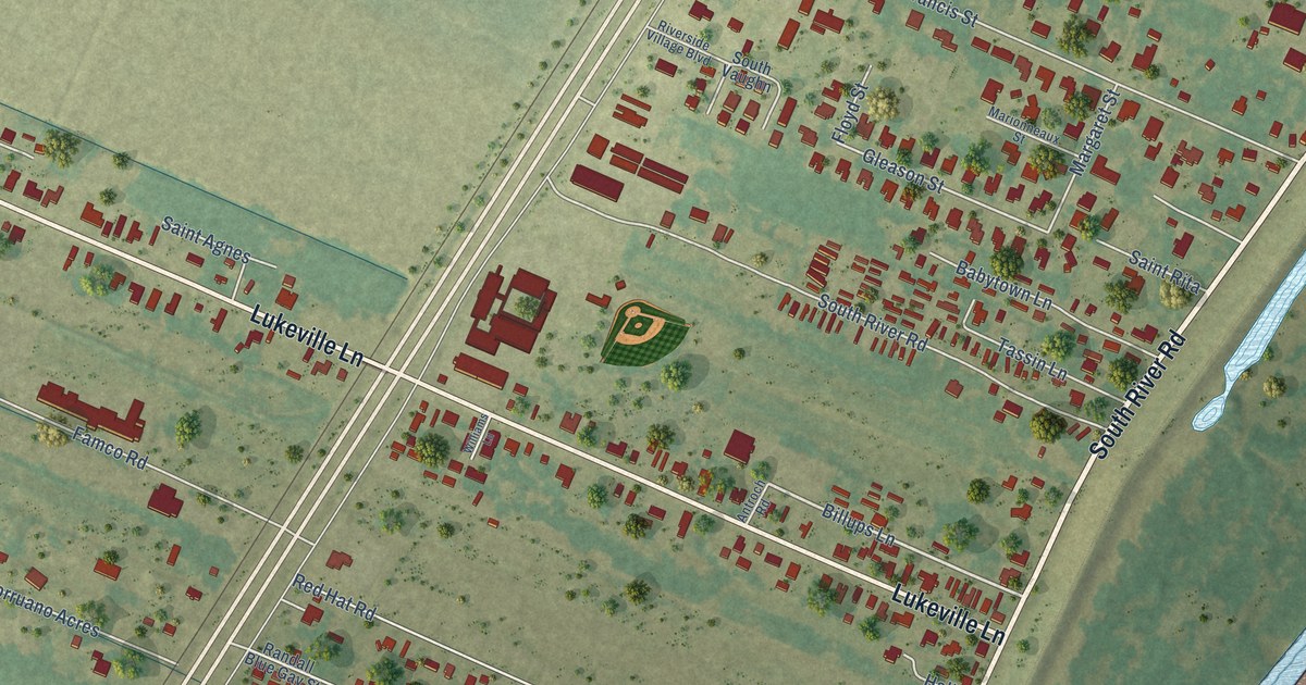
This beautifully detailed map of Lukeville, Louisiana was created in 2026 using aerial imagery combined with modern topographical, census, street and landmark data. It’s a one-of-a-kind view of Lukeville that combines accurate data with a vintage aesthetic. The map shows every building in its true location, many of the roads carry their names, and the shaded topographic relief shows the shape of the land.
Explore an aerial view of Lukeville, Louisiana
On the map you’ll find Brusly Landing, along with West Main Street, South Labauve Avenue, South Kirkland Drive, North Kirkland Drive, Choctaw Road, Lukeville Lane, South River Road, River Road, East Main Street, West Saint Francis Street, Billups Lane, and more. If you look closely you can even find your house accurately drawn in its correct location. Zoom in on the preview to look for yours.
Take a closer look at the Lukeville map
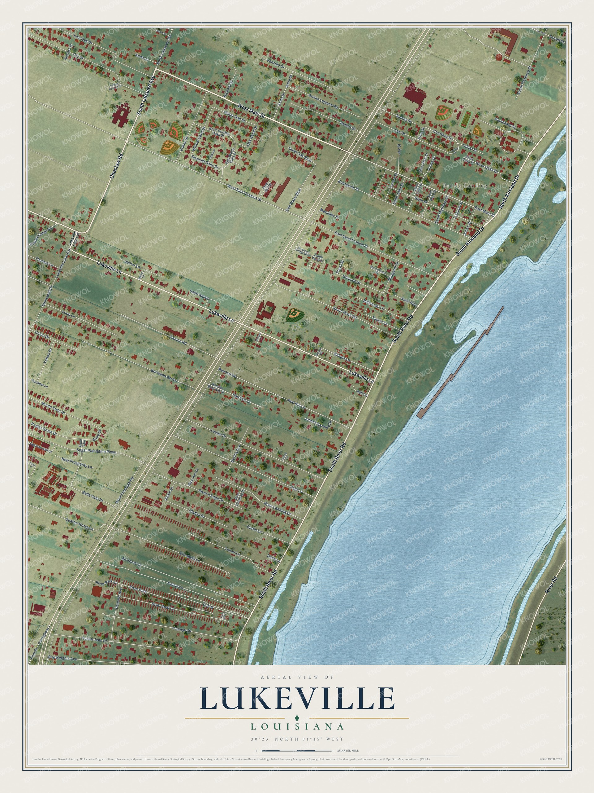
Names on this map
These names are printed on this map.
Places: Brusly Landing and River Park.
Streets and roads: West Main Street, South Labauve Avenue, South Kirkland Drive, North Kirkland Drive, Choctaw Road, Lukeville Lane, South River Road, River Road, East Main Street, West Saint Francis Street, Billups Lane, Belle Vale Drive.
More street names, A to Z
Air Force Lane, Alma Drive, Anita Drive, Anita Street, Anna Lane, Antroch Road, Archie Lejeune Road, Babytown Lane, Belle Vale, Bertha Avenue, Bird Heights Avenue, Blanchard Street, Borruano Acres, Bourgeois Street, Cattle Lane, Cooley Canal Road, Courtney Drive, Courtney Street, Cypress Hall Drive, Dairy Lane, Demoss Avenue, Dupuy, Dupuy Lane, East Brusly Oaks Drive, East Saint Francis Street, Elaine Street, Elizabeth Lane, Fallow Ground Drive, Famco Road, First Street, Floyd Street, Gladys Drive, Gleason Street, Guiding Star, Gwin Street, Hall Lane, Hebert Street, Irma Street, Jay Street, Johnny Bartney Drive, Jones Drive, Joyce Drive, Julien Street, Junior Lane, Landry Street, Lee Drive, Lejeune Street, Live Oak Drive, Loop Lane, Louise Drive, Lukeville Lane Extension, Margaret Street, Marionneaux Street, Marshley Street, Monte Vista Drive, New Prosperity Lane, North Brusley Oaks Drive, North Labauve Avenue, Oak Bend Drive, Oakleaf, Oak Plaza Boulevard, Old Highway 1, Olivia Drive, Ory Drive, Paul Lane, Poplar Grove Drive, Quarter Horse Lane, Quiet Oak Boulevard, Randall Blue Gay Street, Red Eye Lane, Red Hat Lane, Red Hat Road, Red Oak Street, Richard Street, River's Edge Drive, River Boat Lane, River Crossing Drive, River End Lane, River Landing Drive, River Mill Drive, River Oaks Drive, River Oaks Street, River Park Lane, River Run Court, Riverside Village Boulevard, Saint Agnes, Saint John Street, Saint Luke Street, Saint Mark Street, Saint Mary Street, Saint Matthew Street, Saint Rita, Sandbar Lane, Short Street, Sidney Street, South Florence Street, South Vaughn, Spanish Oaks Drive, Stonewall Drive, Sugar Plantation Parkway, Susan Jean Drive, Tassin Lane, Terrell Street, Terrill Drive, Thomas Lane, Tullier Lane, Tullier Street, Union Drive, Venzule Drive, Walker Lane, Water Oak Street, West Frontage Road, Williams Lane, Willow Oaks Drive, Yatton Drive, Younger Drive.
See it on a wall
The Lukeville map as a framed print. Swipe for more.


This beautifully detailed map of Lukeville makes an attractive addition to your office, library, or den, and it can even be used to teach children the geography and history of the area. It also makes a great gift for someone who left Lukeville and still calls it home. When you’re done exploring, click here to get your copy of the Lukeville map.