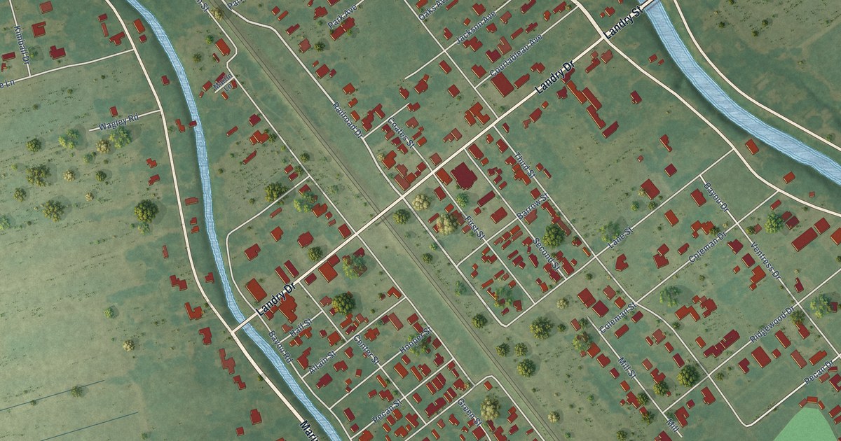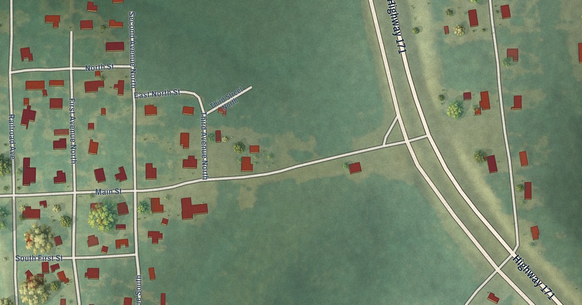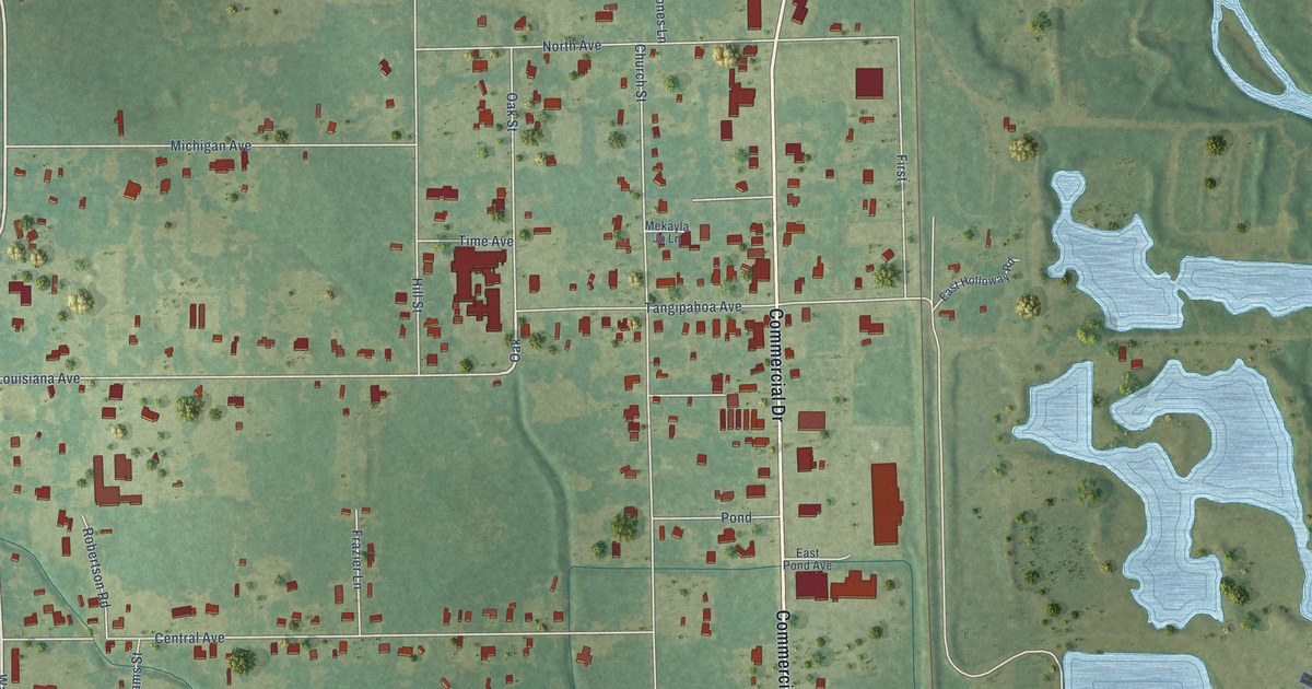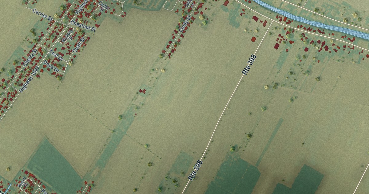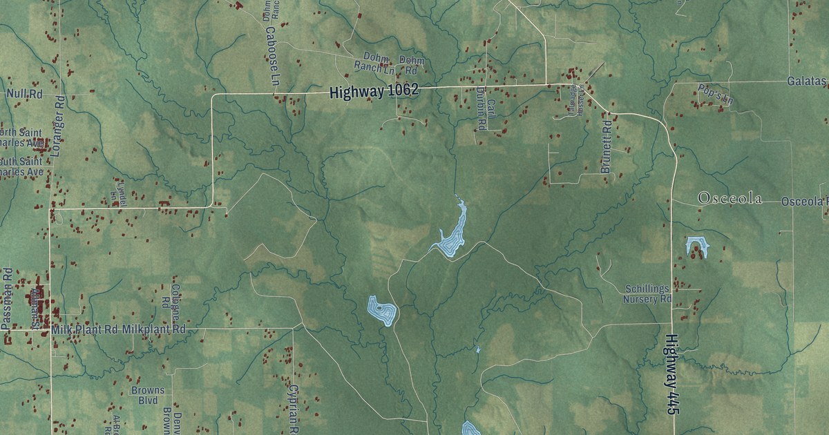
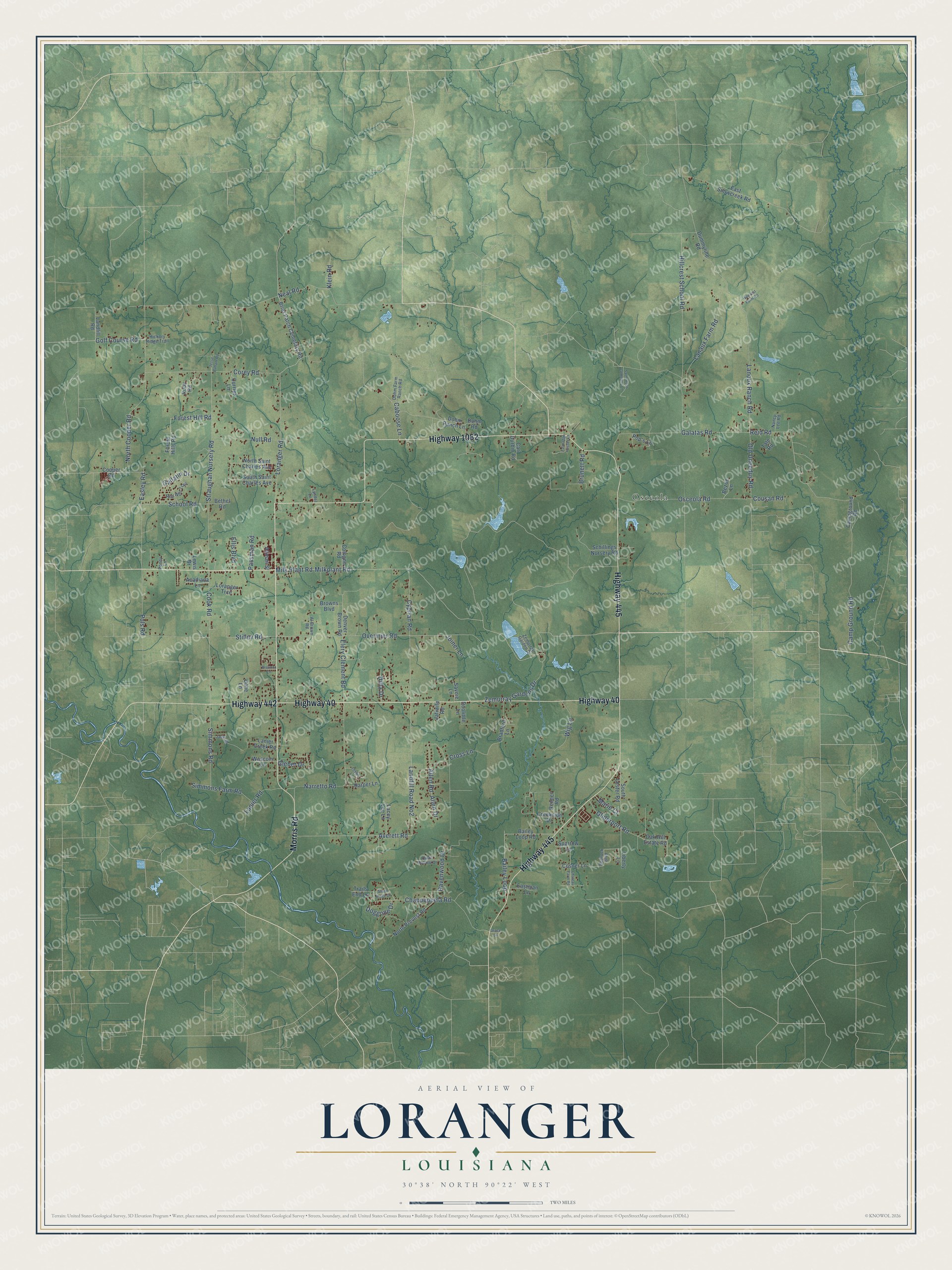
This beautifully detailed map of Loranger, Louisiana was created in 2026 using aerial imagery combined with modern topographical, census, street and landmark data. It’s a one-of-a-kind view of Loranger that combines accurate data with a vintage aesthetic. The map shows every building in its true location, many of the roads carry their names, and the shaded topographic relief shows the shape of the land.
Explore an aerial view of Loranger, Louisiana
On the map you’ll find Osceola, along with Highway 40, Highway 442, Highway 445, Highway 1062, Morris Road, Cyprian Road, Reid Road, Averett Road, Lanoux Ranch Road, Lanaux Farm Road, Overmier Road, and more. If you look closely you can even find your house accurately drawn in its correct location. Zoom in on the preview to look for yours.
Did You Know?
From the 1916 Table of Distances, Water and Rail, in Louisiana: "Live Oak Do Liverpool Livonia Lobdell Lockport Lone Pine Lonsf Bridge Loncleaf Longville Lookout Loranger Loraauville Lorraine Lottie Louisa (Cypremort Station)."
Loranger is a community in Tangipahoa Parish.
Take a closer look at the Loranger map
Names on this map
These names are printed on this map.
Places: Osceola.
Streets and roads: Highway 40, Highway 442, Highway 445, Highway 1062, Morris Road, Cyprian Road, Reid Road, Averett Road, Lanoux Ranch Road, Lanaux Farm Road, Overmier Road, Stilley Road.
More street names, A to Z
Acadiana Lane, Al Brown Road, Allen Drive, Allen Road, Allman Street, Bailey Loop, Bailey Loop Road, Bedrock Boulevard, Bethel Road, Bezue Lane, Bradford Lane, Brennon Lane, Briar Patch Cemetary Road, Browns Boulevard, Brunett Road, Caboose Lane, Camp Ground Road, Campground Road, Carl Durbin Road, Chappepeela Road, Chateau Farm Road, Cologne Road, Cook Road, Cooper Road, Corey Road, Cosner Lane, Cousan Road, Creekside Drive, Cross Lane, Currier Lane, Denver Brown Road, Ditta Drive, Doggone Drive, Dohm Farm Ranch Road, Dohm Ranch Lane, Dohm Road, Doolittle Lane, Duhe Lane, Dummyline Road, Easley Road, Eastman Lane, East Snowcreek Road, Elery Clement Road, Ellis Boulevard, Forest Hill Road, Forest Hills Road, Galatas Road, Gallatin Drive, Gleber Drive, Gliderport Road, Golf Course Road, Grace Lane, Harper Lane, Hickory Ridge Trail, Hillcrest Farm Road, Hillcrest School Road, Jaelyn Drive, Jafiwile Road, Jesse Baham Road, Joiner Lane, Klein Road, Lacey Lee Lane, Landfill Road, Landfill Road No2, Lanier Creek Road, Lanier Road, Lester Lane, Lewis Drive, Liberty Lane, Loranger Road, Loranger Trce, Lyndel Lane, Marie Court, Milk Plant Road, Milkplant Road, Nancy Lee Road, Narretto Road, Neal Road, North Cooper Road, North Prevost Road, North Saint Charles Avenue, Null Road, Oak Hill Estate Road, Old Uneedus Road, Osceola Road, Passman Road, Penny Lane, Pop's Lane, Puls Road, Quail Hollow Drive, Ravenwood Drive, Red Wolf Trail, Reimer Road, Ruby Road, Saint Roch Cemetery Lane, Savoie Lane, Schillings Nursery Road, School Road, Simmons Farm Road, Simmons Road, South Lester Road, South Saint Charles Avenue, Sparrow Lane, Stone Ridge Drive, Straughan Nursery Road, Talmadge Husser Lane, Tate Road, Trails End Lane, Wascom Lane, Wig Lane, Zemurray Garden Drive, Zemurray Gardens Drive.
See it on a wall
The Loranger map as a framed print. Swipe for more.


This beautifully detailed map of Loranger makes an attractive addition to your office, library, or den, and it can even be used to teach children the geography and history of the area. It also makes a great gift for anyone with Loranger roots. When you’re done exploring, click here to get your copy of the Loranger map.