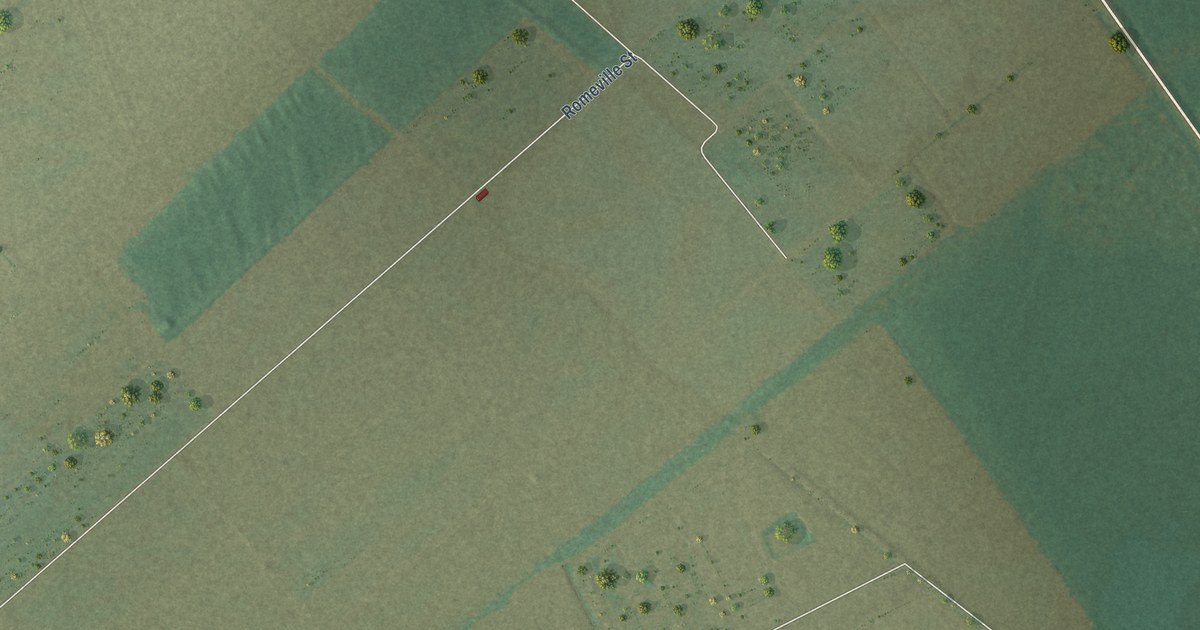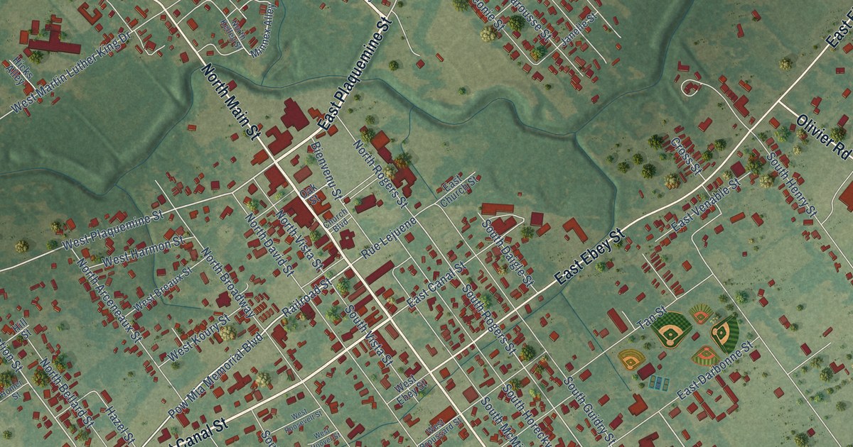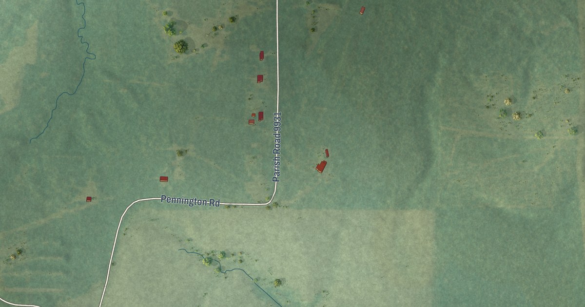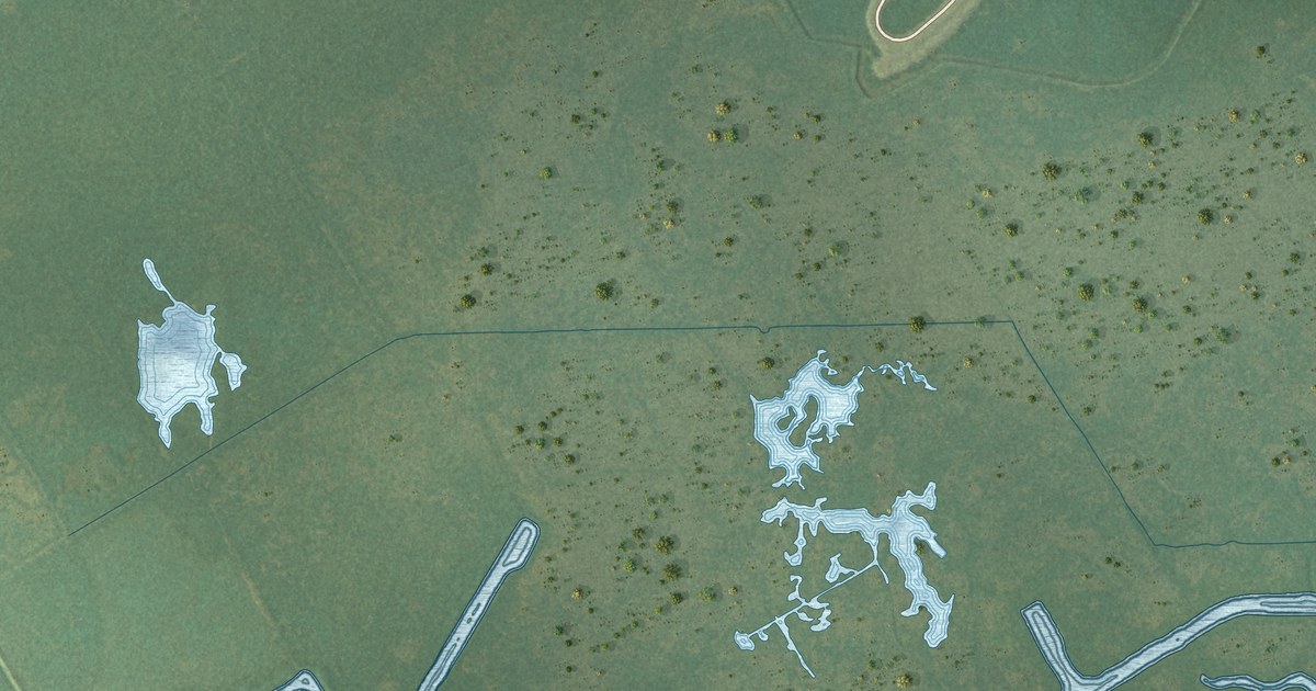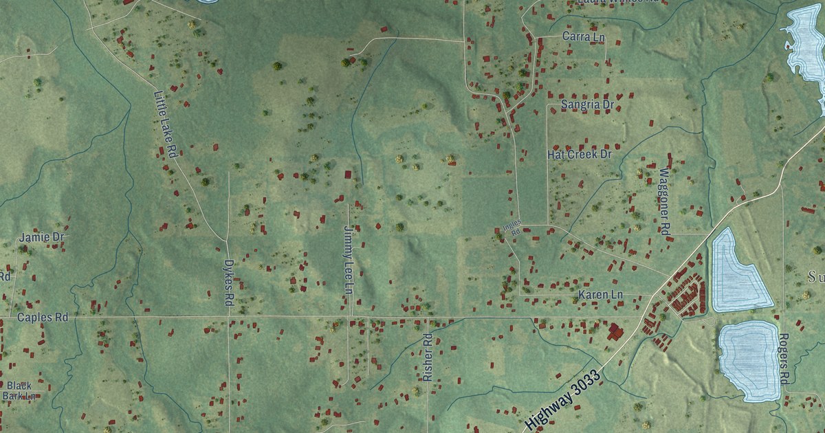
This beautifully detailed map of Lenwil, Louisiana was created in 2026 using aerial imagery combined with modern topographical, census, street and landmark data. It’s a one-of-a-kind view of Lenwil that combines accurate data with a vintage aesthetic. The map shows every building in its true location, many of the roads carry their names, and the shaded topographic relief shows the shape of the land.
Explore an aerial view of Lenwil, Louisiana
On the map you’ll find Sunnybrook Farms, along with Cheniere Lake Road, Highway 3033, Jonesboro Road, Highway 34, Highway 557, Natchitoches Road, White Tail Lane, Guyton Road, Caples Road, Rogers Road, Puckett Lake Road, and more. If you look closely you can even find your house accurately drawn in its correct location. Zoom in on the preview to look for yours.
Take a closer look at the Lenwil map
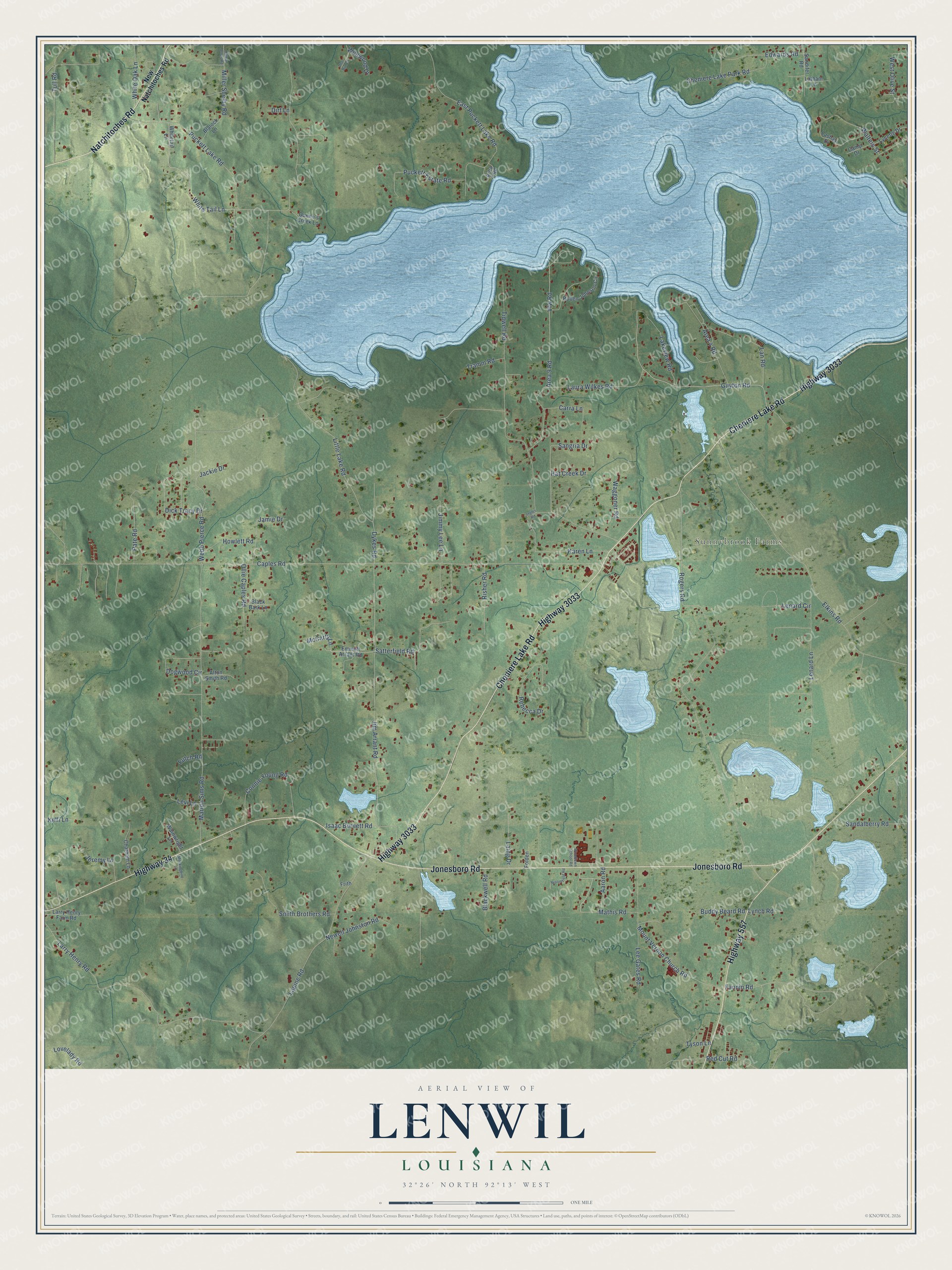
Names on this map
These names are printed on this map.
Places: Sunnybrook Farms.
Streets and roads: Cheniere Lake Road, Highway 3033, Jonesboro Road, Highway 34, Highway 557, Natchitoches Road, White Tail Lane, Guyton Road, Caples Road, Rogers Road, Puckett Lake Road, Tidwell Road.
More street names, A to Z
Aaron Road, Alton Smith Road, Area 4 Road, Area 7 Road, Area 9 Road, Black Bark Lane, Blackwell Road, Blalock Lane, Broomfield Road, Buddy Beard Road, Camp Drive, Carra Lane, Chatham Lane, Cheniere Lake Park Road, Connie Young Road, Deer Run Drive, Dick Tracy Drive, Dirt Lane, Dogwood Circle, Dykes Road, East Puckett Lake Road, Edwards Road, Elkins Road, Emmett Arrant Road, Fannin Road, Folden, Frith, Futch Road, Hat Creek Drive, Hilltop Acres Road, Howlett Road, Ingles Road, Isaac Burnett Road, Jackie Drive, Jamie Drive, Jeremy Lane, Jim Arrant Road, Jimmy Lee Lane, Karen Lane, Kelli Lane, Laing Drive, Lakeview Road, Lan Road, Lapine Road, Larry Henry Farm Road, Larry Henry Road, Lashay Drive, Latham Lane, Laura Wilkes Road, Lee Gates Road, Lenard Circle, Lenard Lane, Levi Lane, Little Lake Road, Lovelady Road, Lynch Road, Lynette Drive, Marion Sims Road, Mathis Road, McCarty Lane, Miller Shelby Road, Mockingbird Lane, Mount Vernon Church Road, Newell Johnston Road, New Natchitoches Road, Ollie Caples Road, Pate Road, Puckett Estate Road, Queen's Creek Lane, Rebecca Drive, Red Cut Road, Risher Road, Ruben Johnson Circle, Sandalberry Road, Sandifer Road, Sangria Drive, Satterfield Road, Smith Brothers Road, Tramm Road, Tull Road, Tyson Lane, Vfw Road, Waggoner Road, Wainwright Lane, Walters Street, Webb Pierce Road, West Olive Street, White Oak Lane, Whitetail Lane, Wildwood Drive, Woodlawn School Road.
See it on a wall
The Lenwil map as a framed print. Swipe for more.


This beautifully detailed map of Lenwil makes an attractive addition to your office, library, or den, and it can even be used to teach children the geography and history of the area. It also makes a great gift for someone who left Lenwil and still calls it home. When you’re done exploring, click here to get your copy of the Lenwil map.