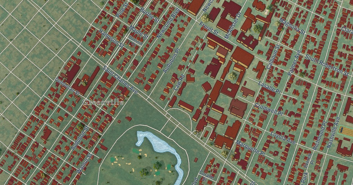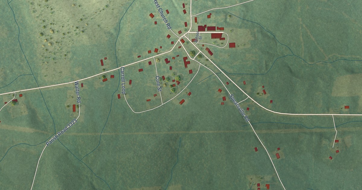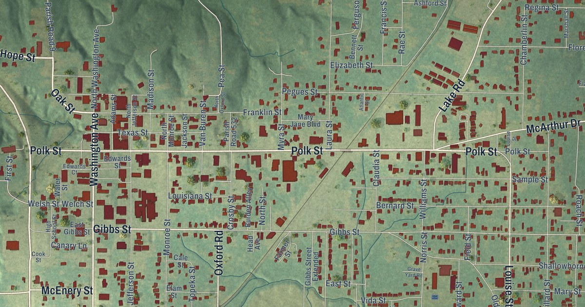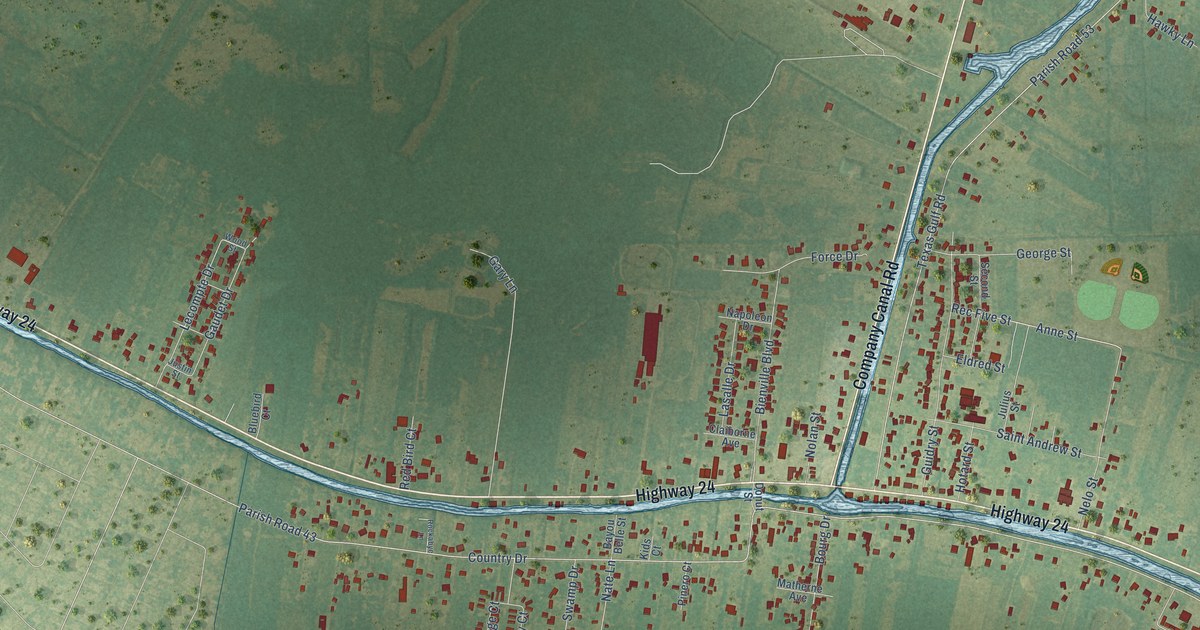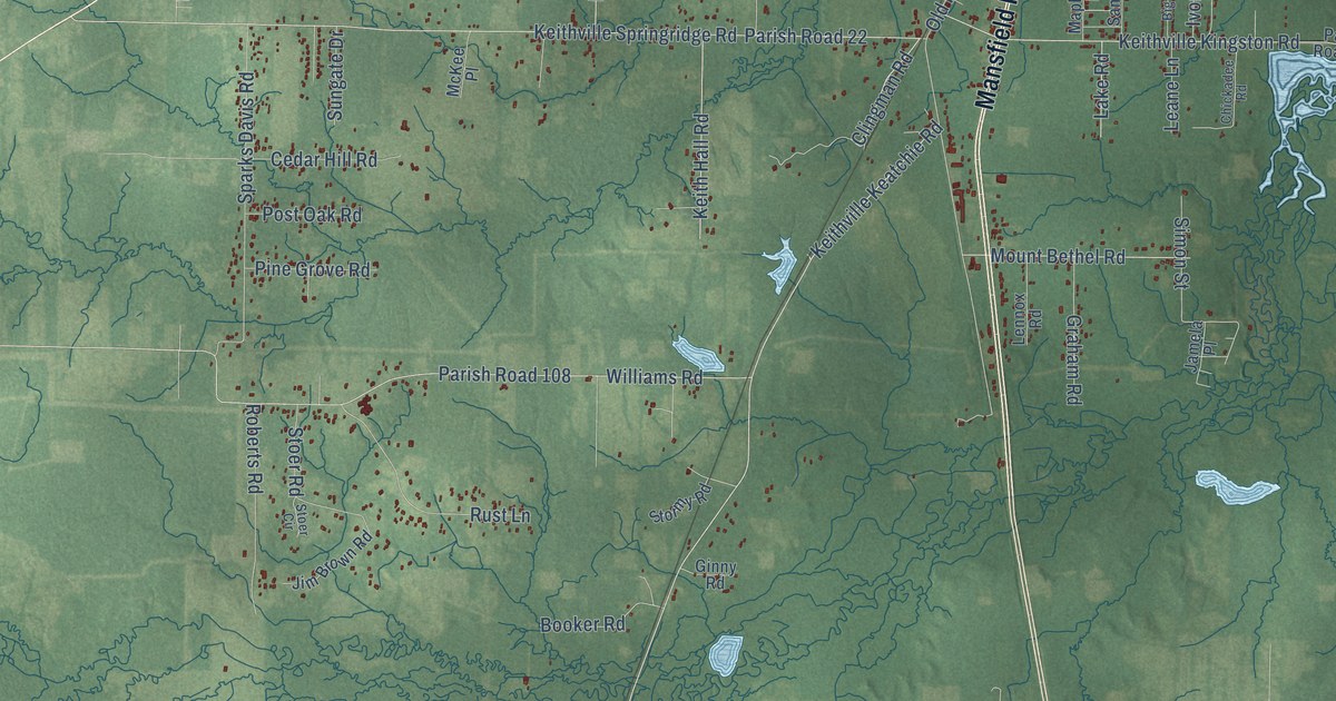
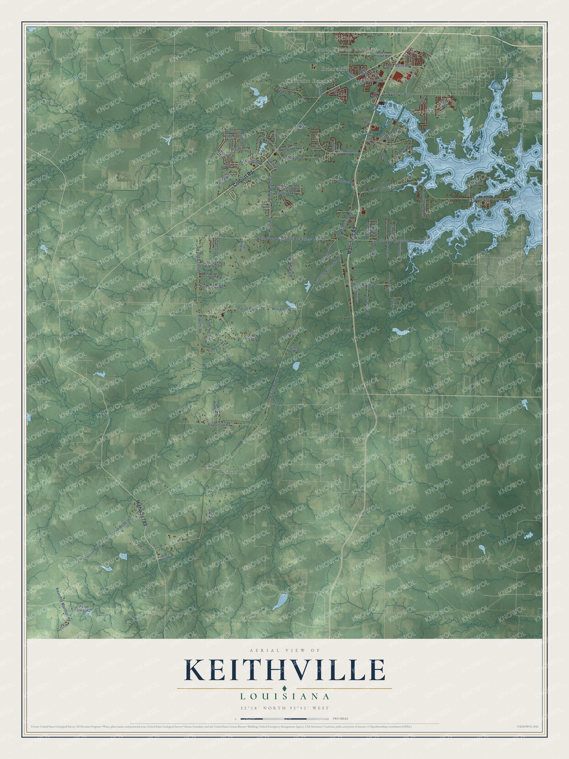
This beautifully detailed map of Keithville, Louisiana was created in 2026 using aerial imagery combined with modern topographical, census, street and landmark data. It’s a one-of-a-kind view of Keithville that combines accurate data with a vintage aesthetic. The map shows every building in its true location, many of the roads carry their names, and the shaded topographic relief shows the shape of the land.
Explore an aerial view of Keithville, Louisiana
On the map you’ll find Staples, Preston, Briarcliff, Deep Woods, Colquitt Estates, Elkins, South Towne Heights, and Parish Road 3, along with Mansfield Road, Colquitt Road, Highway 789, Keithville Keatchie Road, and more. If you look closely you can even find your house accurately drawn in its correct location. Zoom in on the preview to look for yours.
Did You Know?
From the 1916 History of Who’s Who in Louisiana Politics: "Keith came to Louisiana with his parents when he was three months of age, and settled at Keithville, where he has since resided."
Keithville is a community in Caddo Parish.
Take a closer look at the Keithville map
Names on this map
These names are printed on this map.
Places: Staples, Preston, Briarcliff, Deep Woods, Colquitt Estates, Elkins and South Towne Heights.
Streets and roads: Mansfield Road, Colquitt Road, Highway 789, Keithville Keatchie Road, Parish Road 3, Parish Road 102, Preston Road, Barron Road, Old Mansfield Road, Parish Road 112, Keithville Springridge Road, Parish Road 22.
More street names, A to Z
647 Road, Ardis Taylor Drive, Bain Boulevard, Baird Road, Barron Ridge Lane, Big Oak Trail, Bledsoe Road, Bluebill Drive, Booker Road, Branchwood Drive, Bretwood Drive, Burgundy Oaks Drive, Cedar Hill Road, Chickadee Road, Chipper Lane, Clingman Road, Creighton Place, Dean Road, Deepwoods Drive, Deer Meadow Drive, Dorchester Circle, Drag Strip Road, Enron Road, Fountainbleau Road, Gilmer Place Road, Ginny Road, Graham Lane, Graham Road, Green Terrace Road, Harper Road, Hayes Drive, Haywood Drive, Interport Drive, Ivory Lane, Jamela Place, Janell Drive, Jersey Gold Road, Jim Brown Road, Keatchie Marshall Road, Keith Hall Road, Keith Road, Keithville Kingston Road, Lake Road, Lancer Lane, Lannon Street, Leane Lane, Leaside Way, Lennox Road, Lynn Marie Road, Majestic Road, Maplewood Drive, McKee Place, Mesa Drive, Miller Drive, Monroe Drive, Mount Bethel Road, Mustang Circle, New Moon Drive, Normandie Drive, Oakfield Drive, Parish Road 108, Parish Road 110, Parish Road 143, Parish Road 662, Peacock Trail, Pine Grove Road, Pine Ridge Road, Post Oak Road, President Lane, Roberts Road, Rust Lane, Sandwood Drive, Simon Street, Smalley Road, Sparks Davis Road, Stage Coach Road, Stoer Circle, Stoer Road, Stonewall Road, Stormy Road, Sungate Drive, Sunset Drive, Tara Lane, Thistle Lane, Turnbull Lane, Vardaman Road, Vermilion Place, Williamson Way, Williams Road, Woodhaven Drive.
See it on a wall
The Keithville map as a framed print. Swipe for more.


This beautifully detailed map of Keithville makes an attractive addition to your office, library, or den, and it can even be used to teach children the geography and history of the area. It also makes a great gift for someone who left Keithville and still calls it home. When you’re done exploring, click here to get your copy of the Keithville map.