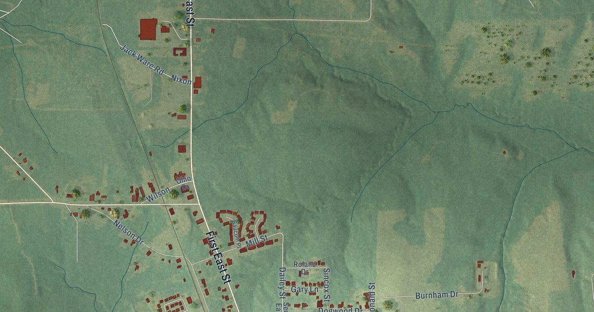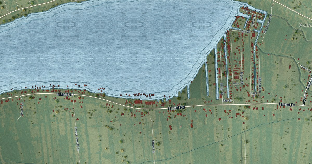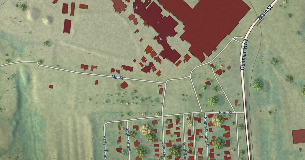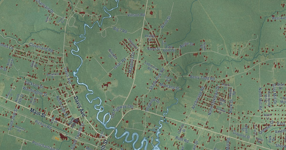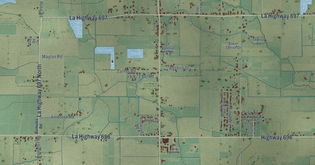
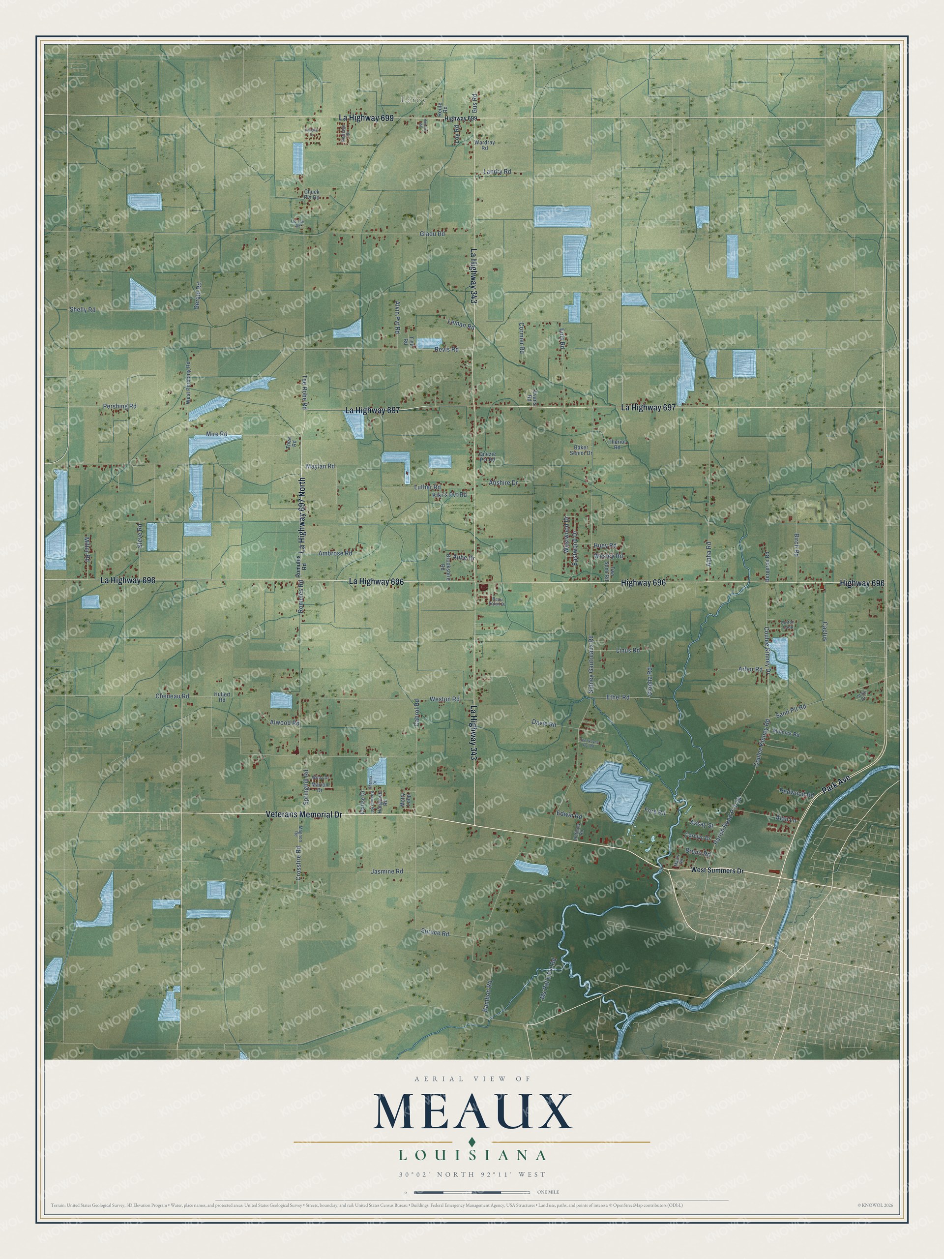
This beautifully detailed map of Meaux, Louisiana was created in 2026 using aerial imagery combined with modern topographical, census, street and landmark data. It’s a one-of-a-kind view of Meaux that combines accurate data with a vintage aesthetic. The map shows every building in its true location, many of the roads carry their names, and the shaded topographic relief shows the shape of the land.
Explore an aerial view of Meaux, Louisiana
On the map you’ll find Leroy and La Highway 697 North, along with Veterans Memorial Drive, La Highway 697, La Highway 699, La Highway 343, La Highway 696, Highway 696, Park Avenue, Coulee Kinney Drive, Coulee Kinney Road, Westwood Drive, and more. If you look closely you can even find your house accurately drawn in its correct location. Zoom in on the preview to look for yours.
Did You Know?
Settlers arrived around 1850 and called the place Harrington’s Island, after a cattleman. In 1913, shopkeeper Millington M. Hartman helped the community win a post office. The town took his first name. In 1919, four schoolhouses merged onto land given by Muriel Daisy Meaux, and the town renamed itself Meaux.
Meaux is a community in Vermilion Parish.
Take a closer look at the Meaux map
Names on this map
These names are printed on this map.
Places: Leroy.
Streets and roads: Veterans Memorial Drive, La Highway 697, La Highway 699, La Highway 343, La Highway 696, Highway 696, Park Avenue, La Highway 697 North, Coulee Kinney Drive, Coulee Kinney Road, Westwood Drive, Shelly Road.
More street names, A to Z
Abshire Drive, Alan Lane, Alpha Road, Alvin Pvt Road, Alwood Road, Ambrose Road, Amelia Drive, Anthony Road, Arbor Road, Assay Street, Aube Drive, Baker Senior Drive, Bamboo Road, Beau Soleil Drive, Bergeron Road, Birch Road, Brookshire Road, Bruno Road, Cabrol Road, Cactus, Carolyn Drive, Cheneau Road, Chuck Pvt Road, Clarise Drive, Clopha Road, Cormier Road, Cotton Loop, Crossfire Road, Davie Road, Eastwood Drive, Edwin Road, Enis Road, Ethel Road, Evans Road, Fore Road, Gerald Road, Gladu Road, Gus Road, Hargrave Road, Heritage Drive, Highway 699, Honore Road, Hubert Road, Huey Road, Jasmine Road, Jo-Lee Road, Jodie Drive, Kiki's Pvt Road, Landry Road, Leman Road, Linus Road, Loy Road, Luther Road, Magnon Road, Marion Drive, Mavis Road, Maylan Road, Miller Road, Minnick Road, Mire Road, Motty Loop, Ms Pat's Pvt Road, Onezie Pvt Road, Parish Road P-3-24, Pershing Road, Redwood Road, Reule Road, Revis Road, Romules Road, Sand Pit Road, Shanna Drive, Shanna Road, Sidney Gautreaux Road, Springhill Road, Spruce Road, Steve Road, Tee Robe Road, Tee Wayne Pvt Road, Theo Road, Theriot Road, Tish Road, Two Sons Road, Wardray Road, Wesley Road, Weston Road, West Pershing Road, West Summers Drive, Wilda Drive.
See it on a wall
The Meaux map as a framed print. Swipe for more.


This beautifully detailed map of Meaux makes an attractive addition to your office, library, or den, and it can even be used to teach children the geography and history of the area. It also makes a great gift for anyone with Meaux roots. When you’re done exploring, click here to get your copy of the Meaux map.