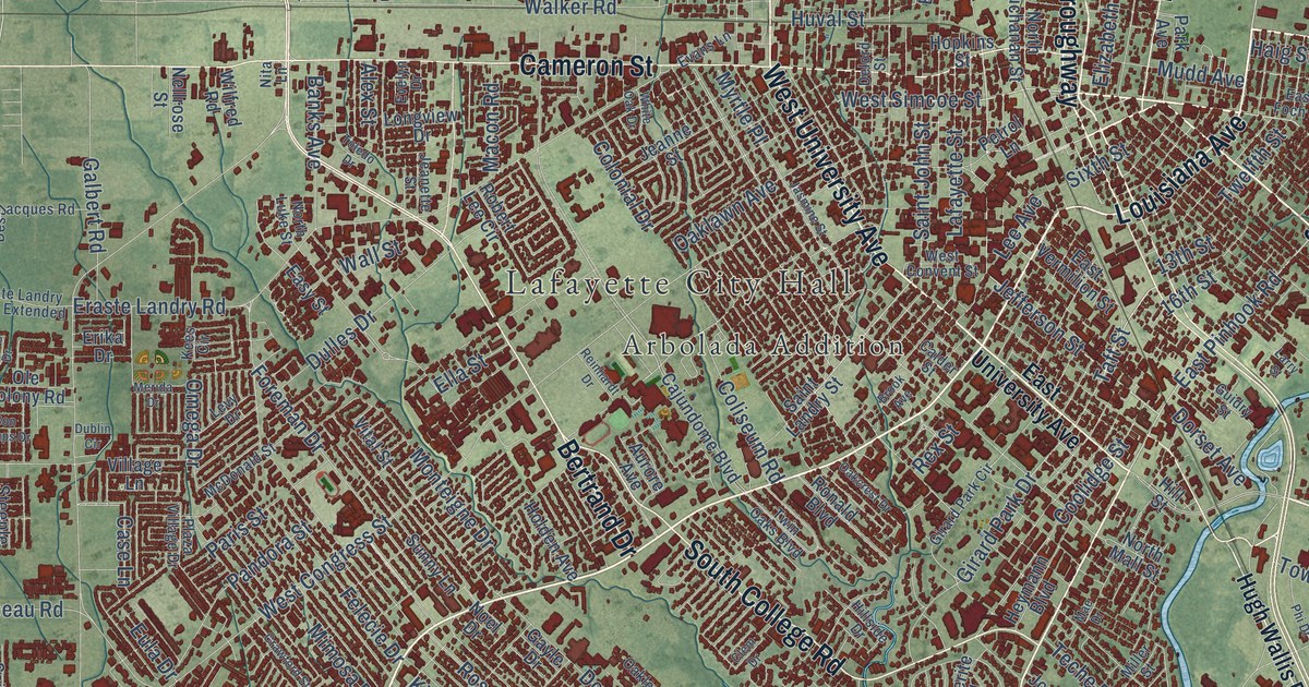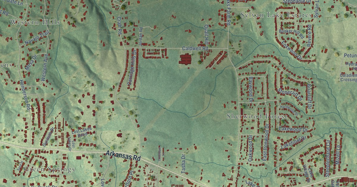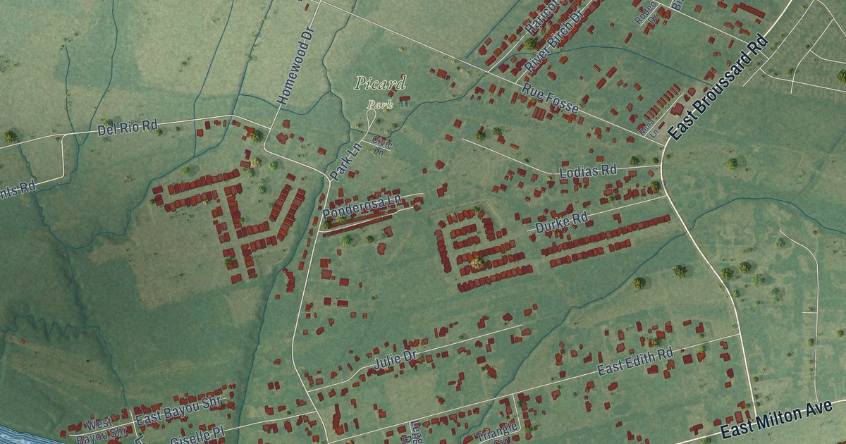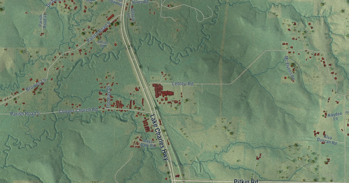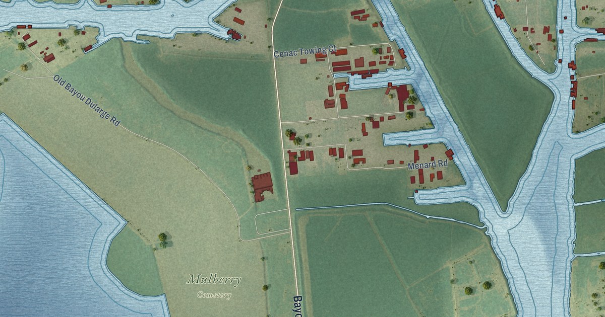
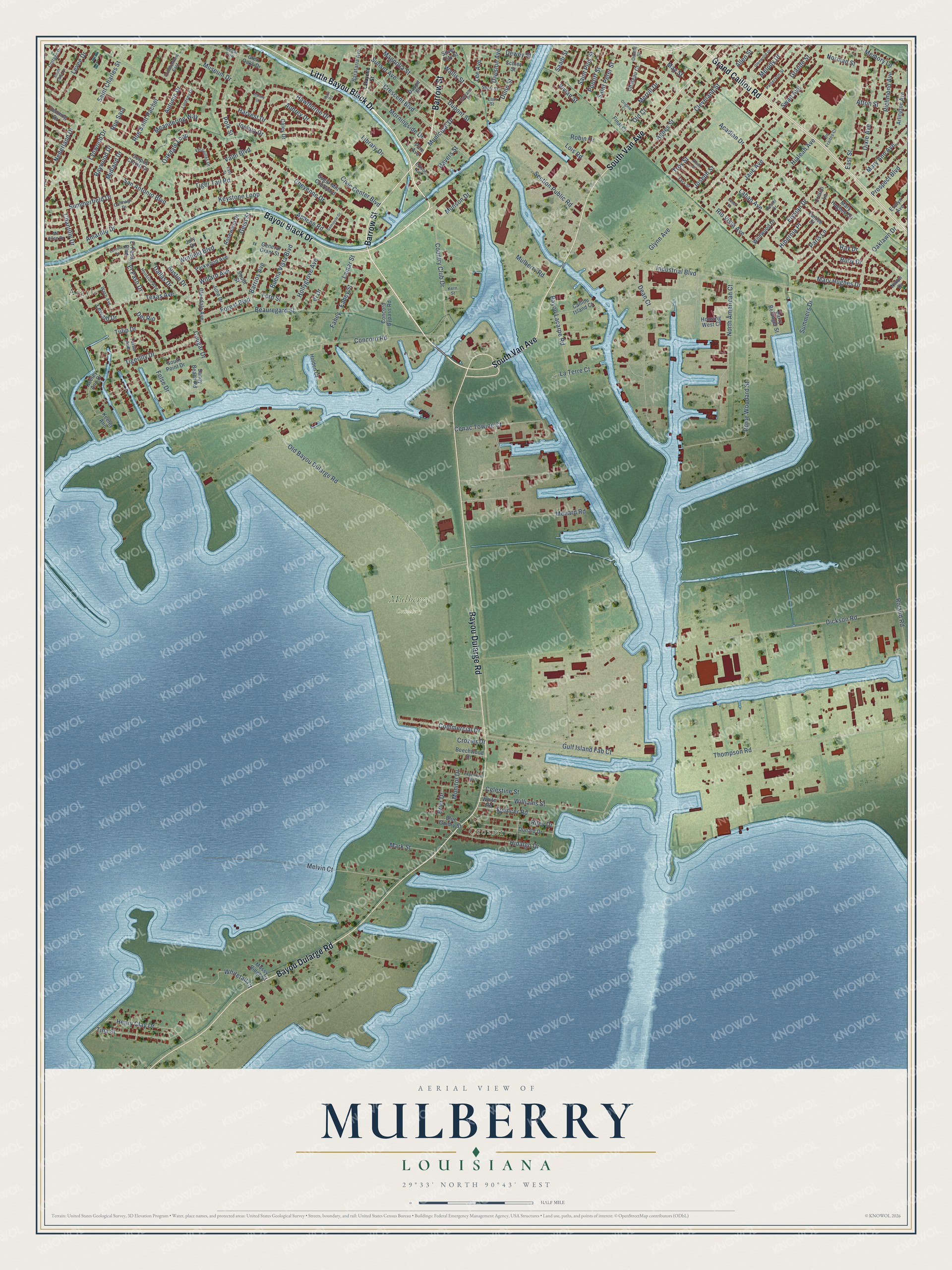
This beautifully detailed map of Mulberry, Louisiana was created in 2026 using aerial imagery combined with modern topographical, census, street and landmark data. It’s a one-of-a-kind view of Mulberry that combines accurate data with a vintage aesthetic. The map shows every building in its true location, many of the roads carry their names, and the shaded topographic relief shows the shape of the land.
Explore an aerial view of Mulberry, Louisiana
On the map you’ll find Crozier, Mulberry Cemetery, and Argyle, along with Bayou Dularge Road, Bayou Black Drive, Little Bayou Black Drive, Barrow Street, Grand Caillou Road, South Van Avenue, Winfield Boulevard, Commercial Drive, Mary Hughes Drive, and more. If you look closely you can even find your house accurately drawn in its correct location. Zoom in on the preview to look for yours.
Did You Know?
From the 1925 History of Louisiana: "The family home is a beautiful resident on Mulberry Street, and the Mayor also owns a garage building on Railroad Avenue."
Mulberry is a community in Terrebonne Parish.
Take a closer look at the Mulberry map
Names on this map
These names are printed on this map.
Places: Crozier, Mulberry Cemetery and Argyle.
Streets and roads: Bayou Dularge Road, Bayou Black Drive, Little Bayou Black Drive, Barrow Street, Grand Caillou Road, South Van Avenue, Winfield Boulevard, Commercial Drive, Mary Hughes Drive, Acadian Drive, Valhi Boulevard, Industrial Boulevard.
More street names, A to Z
Afton Street, Agnes Street, Albany Drive, Allen Street, Amarillo Drive, Apache Road, Arlington Avenue, Aubrey Drive, Austin Drive, Autumn Drive, Barataria Avenue, Barrios Avenue, Barry Belanger Street, Bayou Lacarpe Road, Beauregard Street, Beechwood Drive, Blue Guidry Street, Brier Drive, Buena Vista Boulevard, Caillou Island Court, Caley Drive, Carrane Street, Carthage Drive, Celestine Street, Cenac Towing Court, Chantilly Drive, Chateau Court, Cheyenne Drive, Civic Center Boulevard, Cleveland Street, Cobblestone East, Concord Bypass Road, Concord Road, Corpus Christi Drive, Cottage Drive, Cougar Drive, Country Club Drive, Crescent Boulevard, Cretini Lane, Crozier Drive, Dallas Drive, Daspit Street, Dean Court, De Fraites Court, Del Rio, Denning Drive, Dewey Street, Dickson Road, Division Avenue, Dixie Avenue, Donald Drive, Dunn Street, Dupont Street, East Street, Easy Street, Edgewood Boulevard, Edison Avenue, El Paso Boulevard, El Paso Drive, Elysian Drive, Eunice Street, Evelyn Avenue, Fahey, Fahey Street, Fern Street, Final Court, Folse Drive, Forest Boulevard, Foster Drive, Geist Street, General Grant Street, Glendale Avenue, Glen Oaks Drive, Glenwood Drive, Glynn Avenue, Grande Street, Gulf Island Fab Court, Harvest Drive, Havers Street, Hawthorne Drive, Henry Clay Drive, Hialeah Avenue, Hibernia Place, Hidalgo Drive, Holden Court, Hollygrove Avenue, Housing West Court, Houston Avenue, Jane Avenue, Janet Street, Joseph Street, Joshua Drive, July Drive, June Drive, Keeley Ann, Keeley Ann Drive, Keith Street, Kern Street, Keystone Loop, Laban Avenue, Lafayette Street, Lamar Street, Laredo Drive, Last Street, La Terre Court, Lee Avenue, Levee Drive, Lewald Drive, Library Drive, Lindsey Drive, Lois Road, Lynwood Drive, Magnolia Street, Mark Street, Mary Ann Avenue, Mary Hughes Circle, May Street, Mc Allen Drive, Meandering Way, Melody Drive, Melvin Court, Memory Lane, Menard Road, Merrill Drive, Midland Drive, Monitor Drive, Morningside Drive, Mossy Ridge Court, Mulberry Road, Municipal Drive, Munson Drive, Museum Drive, Nederland Drive, Nixon Drive, Norman Street, North American Court, Oakdale Loop, Oaklawn Drive, Odette Street, Old Bayou Dularge Road, Old Court, Original Court, Paris Lane, Parkwood Avenue, Patterson Street, Pine Avenue, Polk Street, Pontiff Street, Prospect Boulevard, Ray Drive, Raywood Drive, Regal Row, Richmond Avenue, Riley Drive, Rio Vista Avenue, Robin Drive, Roland Road, Rome Woodard Street, Rosewood Drive, Ruby Drive, Rue Saia, Rue Saint Rachel, Saadi Street, Saint Charles Street, Saint Peter Street, Saint Pius Street, San Antonio Boulevard, Sandy Beach Road, Schley Street, Section Public Road, Seminole Drive, Short Street, Silver City Street, South Cane Circle, South Point Drive, South Street, Spencer Road, Sugar Mill Courtyard, Summerfield Drive, Summers Drive, Sunset Avenue, Swan Avenue, Tara Street, Texas Avenue, Thompson Road, Tigerlily Drive, Tiger Tail Road, Tina Street, Troy Street, Tulip Drive, Tulsa Avenue, Usda Road, Versailles Drive, Vi Drive, Vivian Street, Waco Avenue, Wallis Street, White Road, Whitetail Court, Wildwood Drive, Willard Avenue, Williams Street.
See it on a wall
The Mulberry map as a framed print. Swipe for more.


This beautifully detailed map of Mulberry makes an attractive addition to your office, library, or den, and it can even be used to teach children the geography and history of the area. It also makes a great gift for anyone with Mulberry roots. When you’re done exploring, click here to get your copy of the Mulberry map.