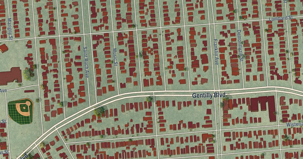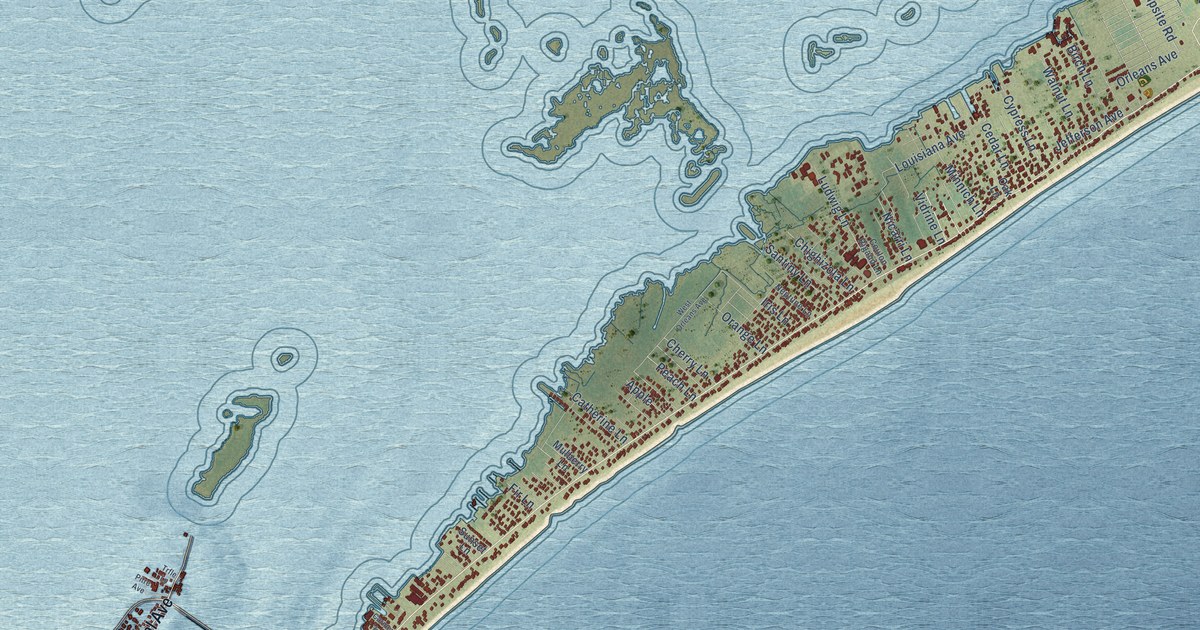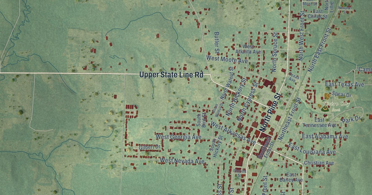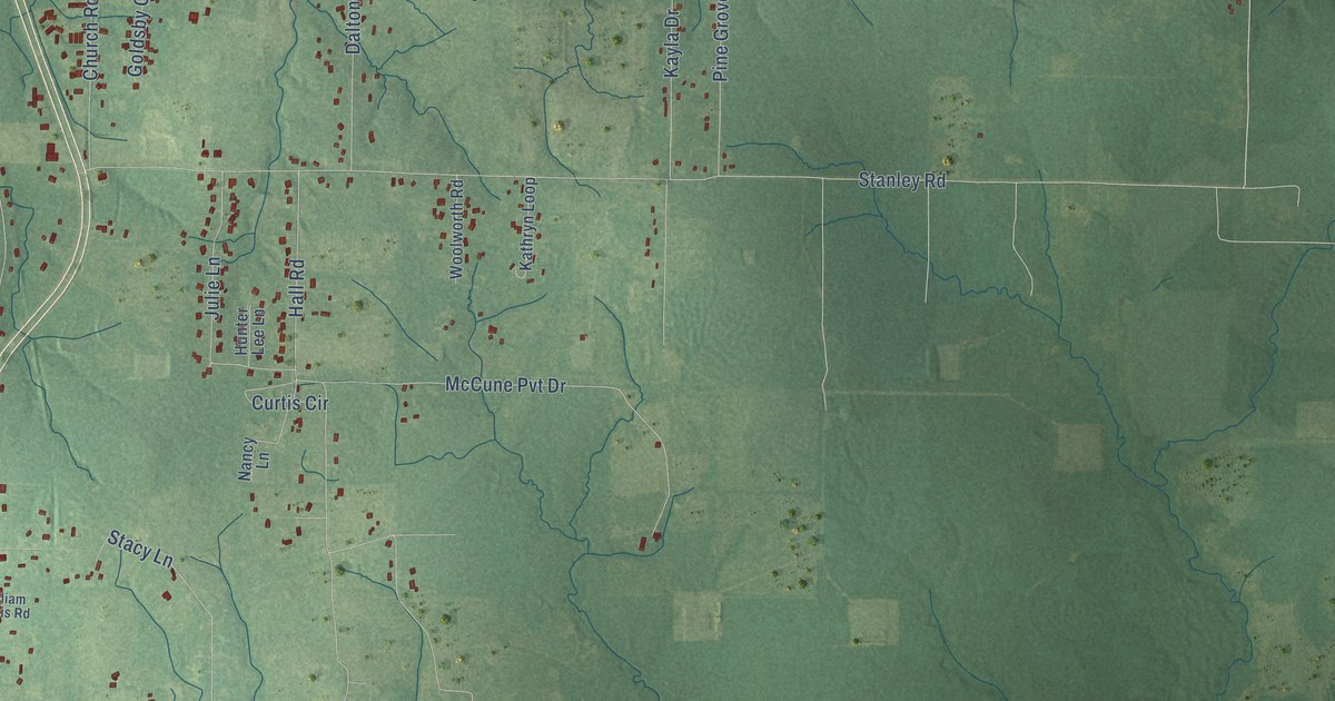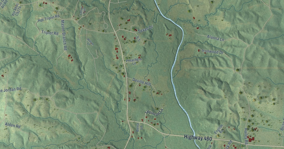
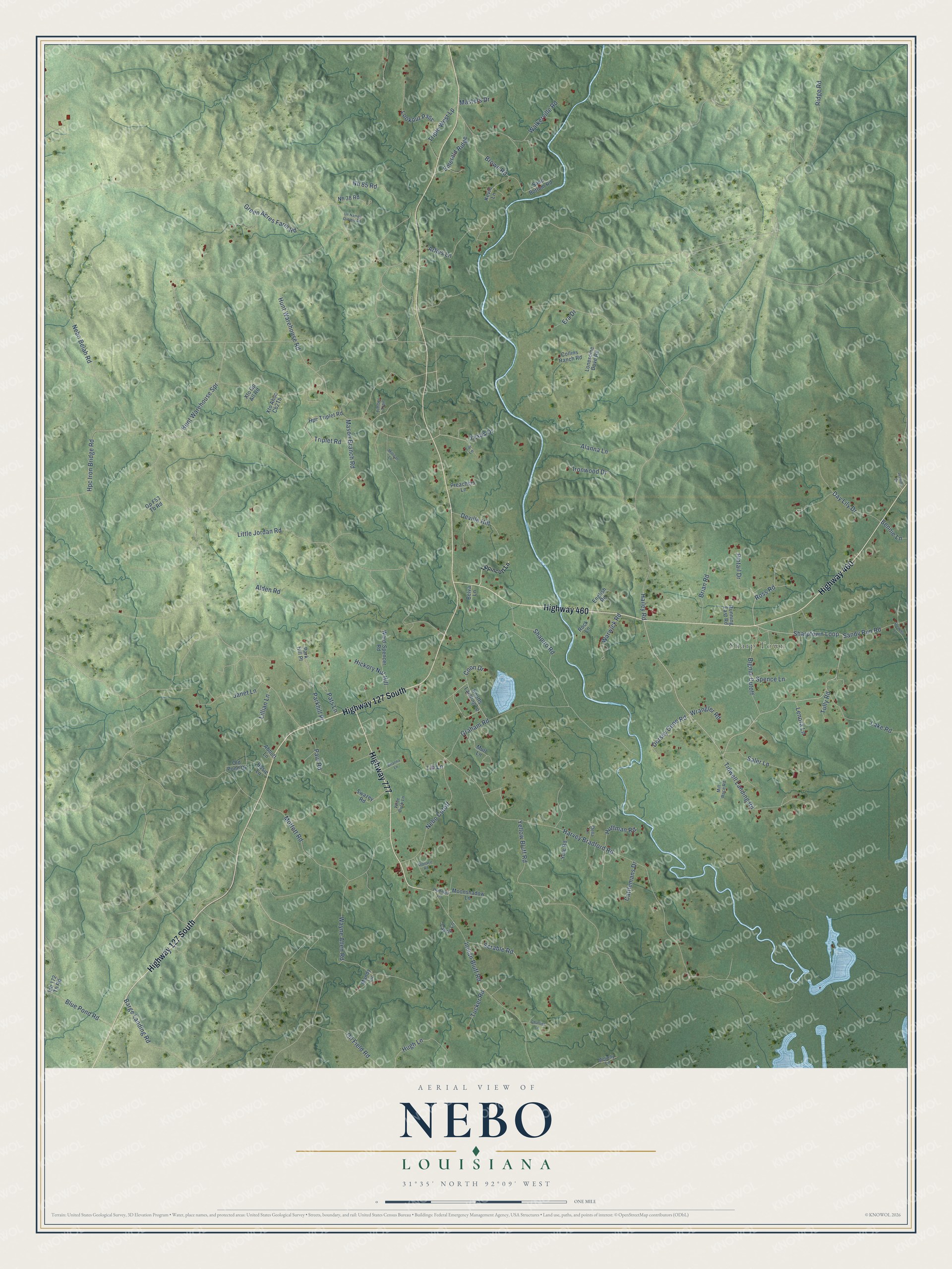
This beautifully detailed map of Nebo, Louisiana was created in 2026 using aerial imagery combined with modern topographical, census, street and landmark data. It’s a one-of-a-kind view of Nebo that combines accurate data with a vintage aesthetic. The map shows every building in its true location, many of the roads carry their names, and the shaded topographic relief shows the shape of the land.
Explore an aerial view of Nebo, Louisiana
On the map you’ll find Sharp Town, along with Highway 127 South, Highway 460, Highway 777, Oil Field Road, Sharptown Loop, Ross Road, Nebo Belah Road, Green Acres Farm Road, Hailey Road, Harvey Bradford Road, Ridge Road, and more. If you look closely you can even find your house accurately drawn in its correct location. Zoom in on the preview to look for yours.
Did You Know?
From the 1888 History of the Baptists of Louisiana: "In 1813 the Mississippi Association admitted two churches that had been organized that year in what was afterward Washington parish, called Mount Nebo and Peniel."
Nebo is a community in LaSalle Parish.
Take a closer look at the Nebo map
Names on this map
These names are printed on this map.
Places: Sharp Town.
Streets and roads: Highway 127 South, Highway 460, Highway 777, Oil Field Road, Sharptown Loop, Ross Road, Nebo Belah Road, Green Acres Farm Road, Hailey Road, Harvey Bradford Road, Ridge Road, Hunt Warehouse Road.
More street names, A to Z
Abbott Lane, Alanna Lane, Alden Road, Arlies Lane, Barge Landing Road, Belva Lane, Bennie Lane, Bignar Cutoff, Blue Pond Road, Brianna Lane, Brian Road, Brown Road, Cattlemans Drive, Charlies Lane, Collins Ranch Road, Coon Drive, Day Lily Drive, Della Lane, Deville Hill, Dorsey Gene Road, Emerald Ridge, English Road, Era Drive, Gp F53 Tb Road, Graham Road, Hickory Nut Hill, Hpc Iron Bridge Road, Hpc Triplet Road, Hudnall Lane, Huffman Road, Hugh Lane, Hunt Warehouse Spr, Indian Bluff Road, Ipb 172 Tb Road, Ironwood Drive, Janet Lane, Jennifer Drive, Kevin Lane, Knotts Landing Lp, Lake Road, Lavon Lane, Lenora Lane, Lib Lane, Lillian Lane, Lippincott Lane, Little Jordan Road, Lonesome Dove Road, Lookout Pass, Mandy Lane, Mason Branch Road, Masters Drive, Melindy Lane, Millican Lane, Mill Race Road, Moffett Road, Moonshadow Lane, Murl Lane, Nebo Cutoff, Nh 38 Road, Nh 85 Road, Old Pond Drive, Parkhill Place, Park Hill Place, Pats Lane, Paul Road, Pintail Drive, Preachers Lane, Rock Lane, Roselea Lane, Rosie Lane, Running East Road, Saler Lane, Sand Bottom Road, Sandy Run Road, Scrable Road, Shapiro Road, Spence Lane, Swazey Road, Tar Lane, Texas Drive, Tidwell Landing Road, Timber Trail, Triplet Road, Triple West Lp, Tucker Road, Tully Road, Un Named Oilfield Road, Walkerville Road, Wallace Road, Ward-Spencer Road, Warwick Road, Wayne Allen Road, Wrangler Road, Wroe Buck Lane, Xto Gp All Road, Yellow Bluff Road, Yule Road.
See it on a wall
The Nebo map as a framed print. Swipe for more.


This beautifully detailed map of Nebo makes an attractive addition to your office, library, or den, and it can even be used to teach children the geography and history of the area. It also makes a great gift for anyone with Nebo roots. When you’re done exploring, click here to get your copy of the Nebo map.