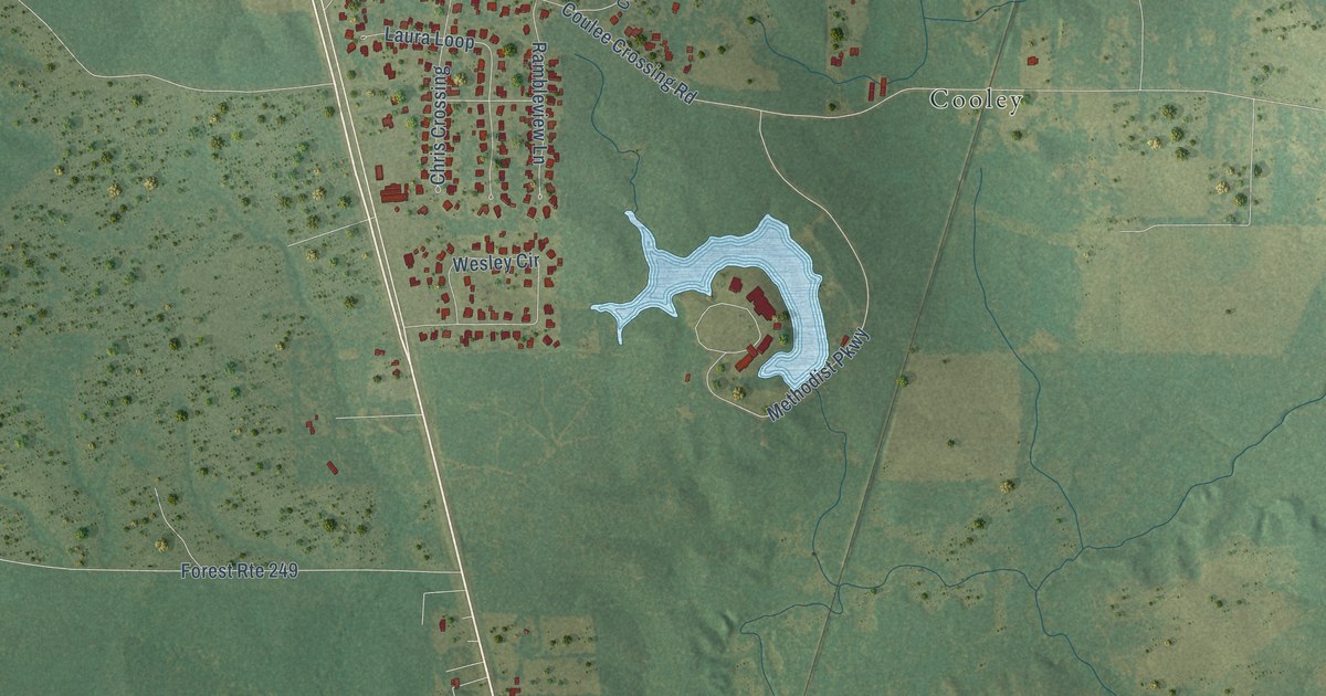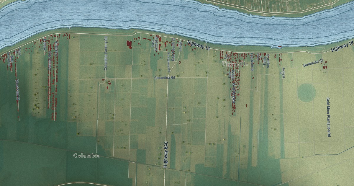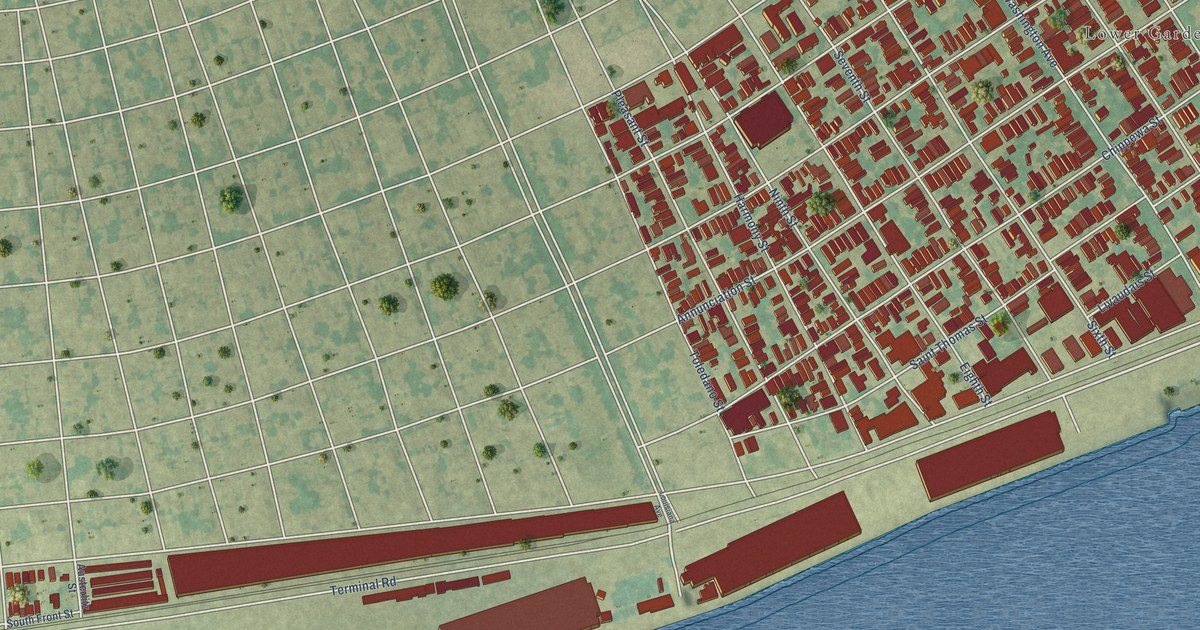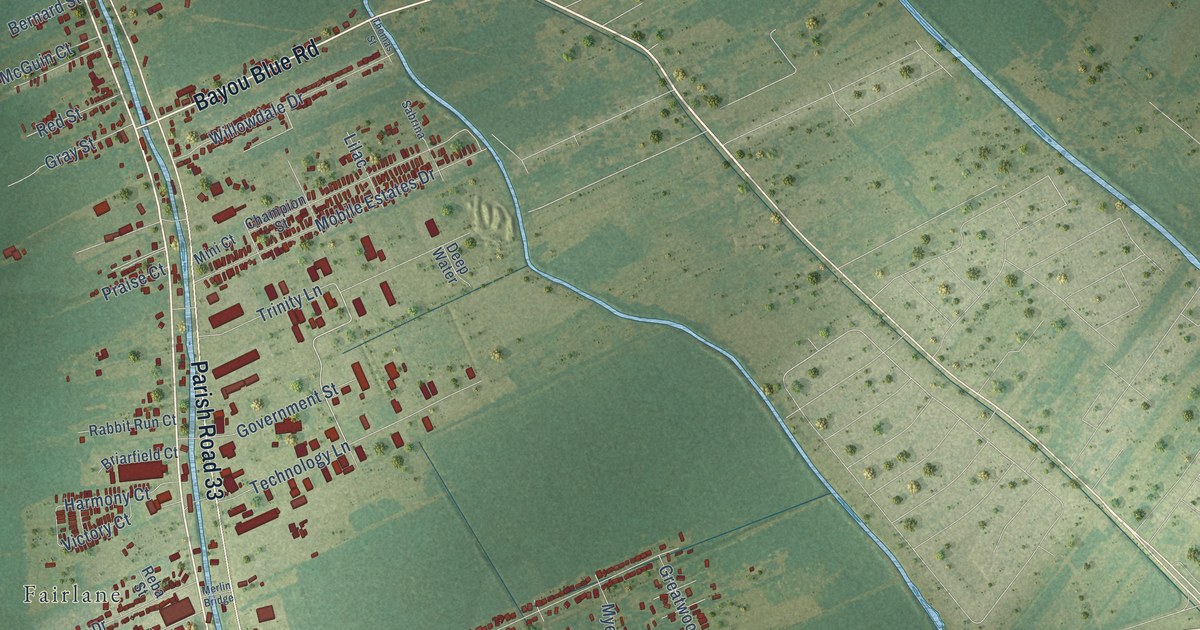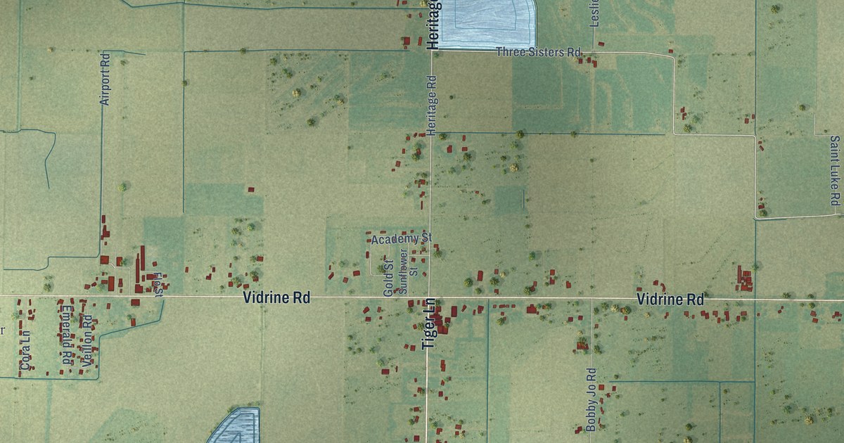
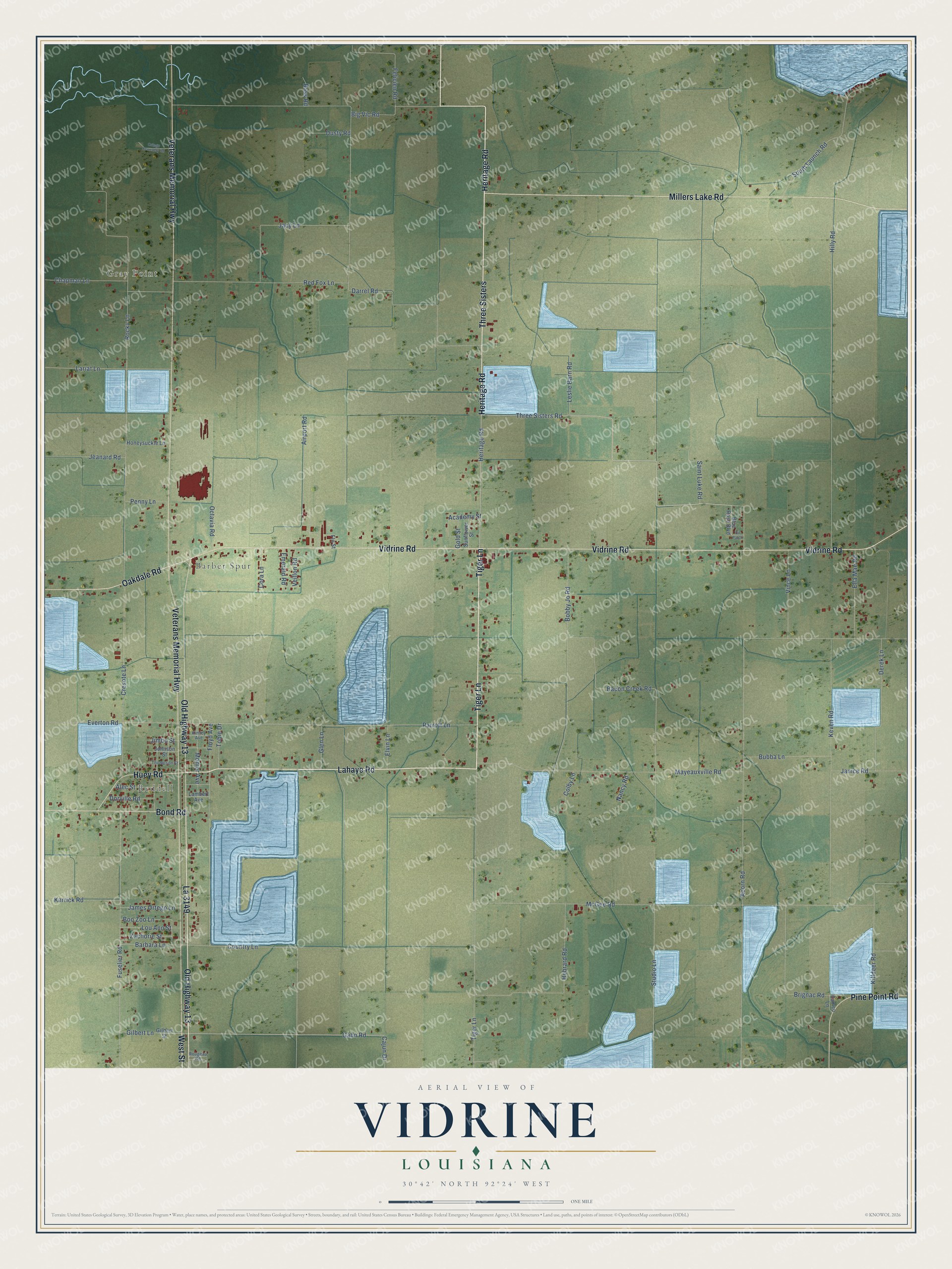
This beautifully detailed map of Vidrine, Louisiana was created in 2026 using aerial imagery combined with modern topographical, census, street and landmark data. It’s a one-of-a-kind view of Vidrine that combines accurate data with a vintage aesthetic. The map shows every building in its true location, many of the roads carry their names, and the shaded topographic relief shows the shape of the land.
Explore an aerial view of Vidrine, Louisiana
On the map you’ll find Gray Point, Reddell, Barber Spur, Three Sisters, and La 3149, along with Tiger Lane, Heritage Road, Lahaye Road, West Street, Veterans Memorial Highway, Vidrine Road, Old Highway 13, and more. If you look closely you can even find your house accurately drawn in its correct location. Zoom in on the preview to look for yours.
Did You Know?
From the 1925 History of Louisiana: "Vidrine attended the Vidrine High School, took the agricultural course in the Southwest Louisiana Institute, and in 1917 became a teacher of agriculture in a school near Jennings."
Vidrine is a community in Evangeline Parish.
Take a closer look at the Vidrine map
Names on this map
These names are printed on this map.
Places: Gray Point, Reddell and Barber Spur.
Streets and roads: Tiger Lane, Heritage Road, Lahaye Road, Three Sisters, La 3149, West Street, Veterans Memorial Highway, Vidrine Road, Old Highway 13, Millers Lake Road, Bond Road, Pine Point Road.
More street names, A to Z
Academy Street, Acorn Road, Airport Road, Alec Street, Bacon Creek Road, Barbara Lane, Bass Road, Big Vic Road, Blue Rose Boulevard, Bobby Jo Road, Boo Zoo Lane, Brignac Road, Bubba Lane, Cajun Drive, Cameo Lane, Chapman Lane, Colby Lane, Cora Lane, Country Lane, Cresote Lane, Darrel Road, Derek Lane, Dorville Road, Dusty Road, Ella Mae Road, Elvin Lane, Emerald Road, Everton Road, Felicien Road, Flo Street, Floyd Avenue, Fuselier Road, Gahn Road, Gilbert Lane, Gilbert Street, Glen Lane, Gold Street, Hebrard Road, Hilly Road, Honeysuckle Lane, Huey Road, Jacy Lane, James Ortego Lane, Janice Road, Jeanard Road, Jimbo Street, Johnson Street, Karrick Road, Keven Road, Killdeer Road, Kimley Avenue, Lambert Avenue, Lariat Lane, Leslie Barn Road, Lou Ann Street, Mayeauxville Road, McGee Road, Monier Avenue, Nancy Road, Oakdale Road, Octavia Road, Oil Patch, Ortego Cemetery Road, Parrott Lane, Penny Lane, Red Fox Lane, Rocky Lane, Rougeau Road, Saint Luke Road, South Launch Road, Studio Lane, Sunflower Street, Thompson Street, Three Sisters Road, Tobie Drive, Veillon Road, Vince Lane, Zachorie Street.
See it on a wall
The Vidrine map as a framed print. Swipe for more.


This beautifully detailed map of Vidrine makes an attractive addition to your office, library, or den, and it can even be used to teach children the geography and history of the area. It also makes a great gift for anyone who grew up in Vidrine or moved away. When you’re done exploring, click here to get your copy of the Vidrine map.