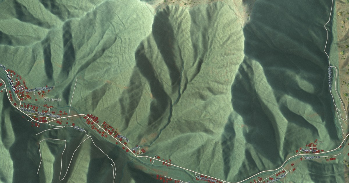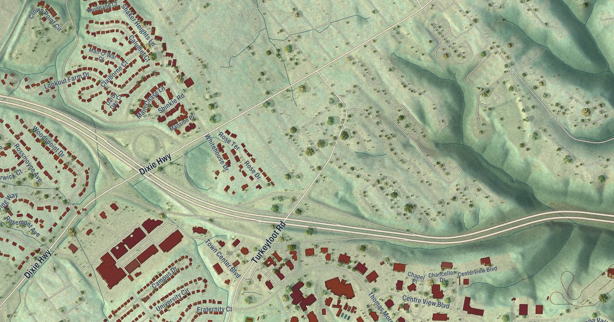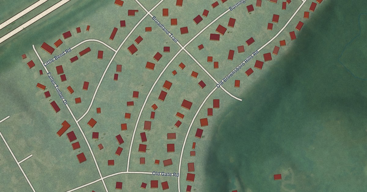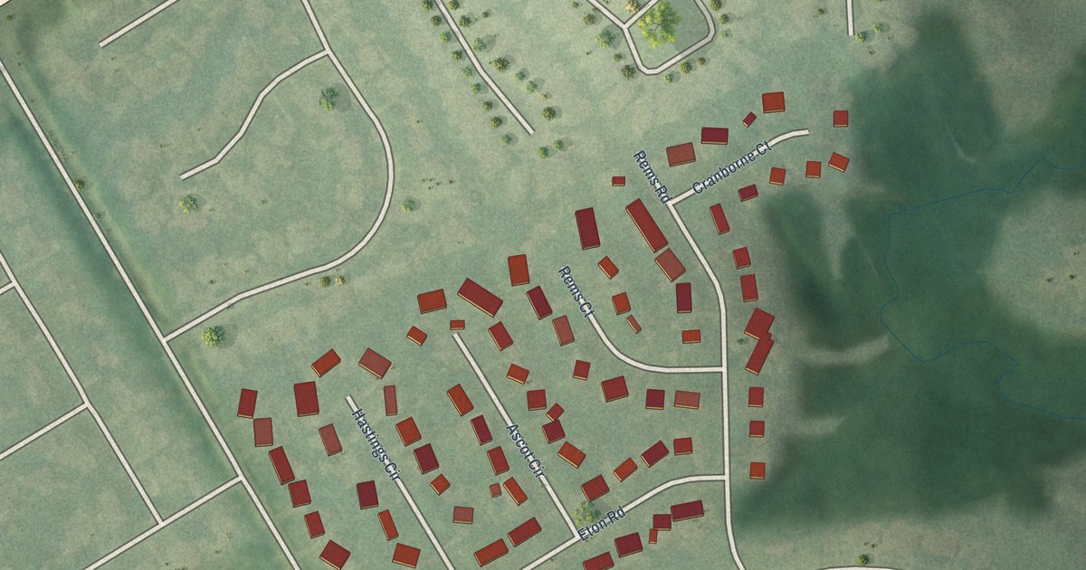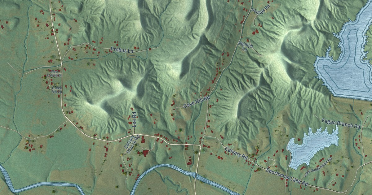
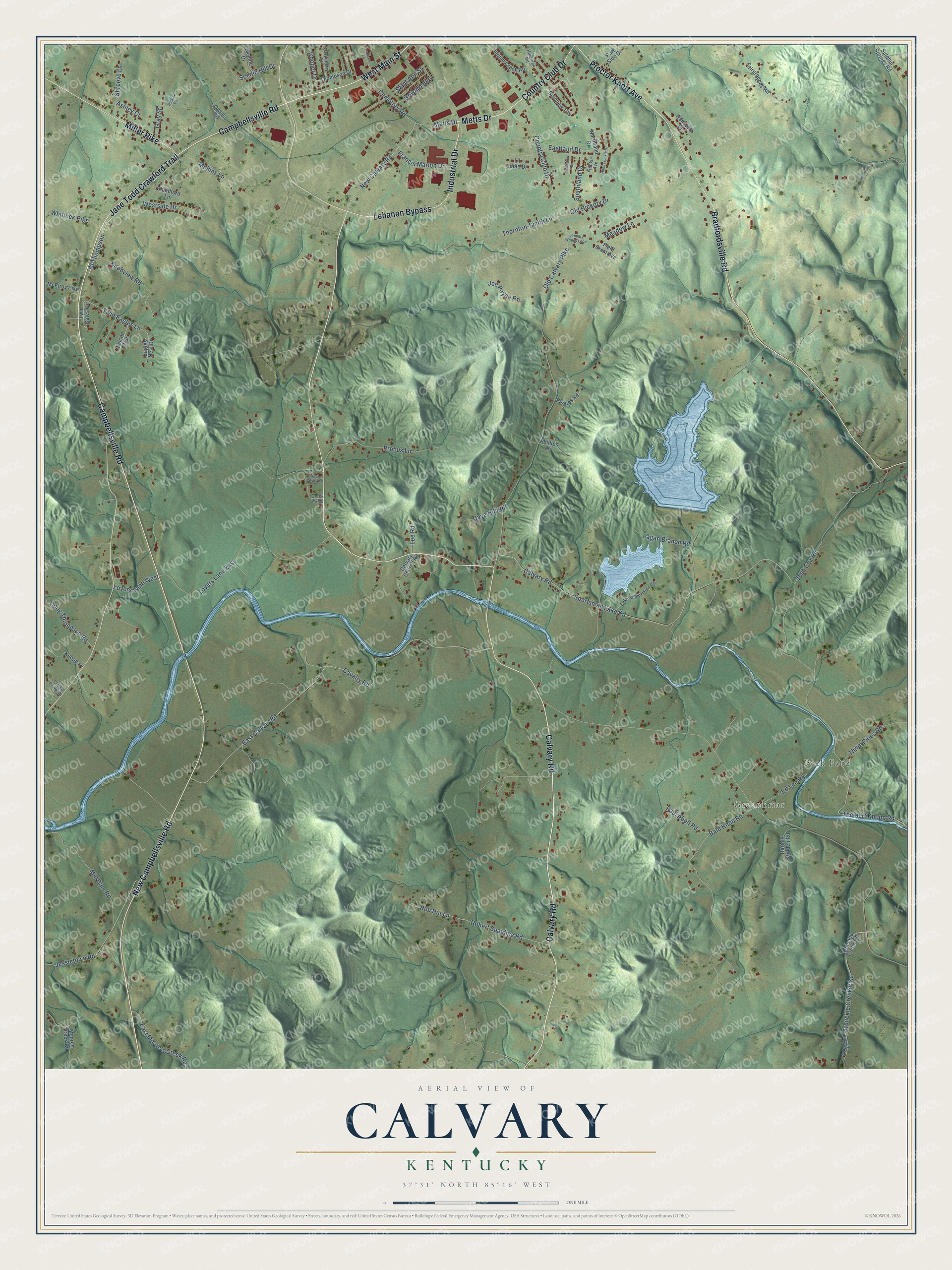
This beautifully detailed map of Calvary, Kentucky was created in 2026 using aerial imagery combined with modern topographical, census, street and landmark data. It’s a one-of-a-kind view of Calvary that combines accurate data with a vintage aesthetic. The map shows every building in its true location, many of the roads carry their names, and the shaded topographic relief shows the shape of the land.
Explore an aerial view of Calvary, Kentucky
On the map you’ll find Greenbriar and Peck Ford, along with Metts Drive, Calvary Road, New Campbellsville Road, West Main Street, Campbellsville Road, Bradfordsville Road, Industrial Drive, Lebanon Bypass, Jane Todd Crawford Trail, Miller Pike, and more. If you look closely you can even find your house accurately drawn in its correct location. Zoom in on the preview to look for yours.
Did You Know?
From Internet Archive: "The Rolling Fork station, or fort, built to secure the safety of the settlers from attacks by Indians, was on the south side of the river, almost opposite the present Calvary convent."
Calvary is a community in Marion County.
Take a closer look at the Calvary map
Names on this map
These names are printed on this map.
Places: Greenbriar and Peck Ford.
Streets and roads: Metts Drive, Calvary Road, New Campbellsville Road, West Main Street, Campbellsville Road, Bradfordsville Road, Industrial Drive, Lebanon Bypass, Jane Todd Crawford Trail, Miller Pike, Proctor Knott Avenue, Country Club Drive.
More street names, A to Z
Arbuckle Creek Pike, Arbuckle Creek Road, Arbuckle Road, Ashley Court, Bald Knob Road, Blandford Lane, Calvary Church Road, Castleberry Street, Cavalry Road, Cave Hill Road, Cemetery Road, Clarke Crum Road, Cooper Drive, Creek Vw Lp, Doug Thompson Road, Eagles Nest Drive, East Calvary Road, Eastland Drive, East Moore's Creek Road, Ed Lee Road, Fagan Branch Road, Fairgrounds Road, Falcon Crst, Field Crest Avenue, Francis Marion Drive, Frankie Avenue, Gl Thompson, Golfview Terrace, Gray Street, Hancock Street, Hillcreek Road, Hillside Vw, Honeysuckle Drive, Howard Avenue, Indian Creek Road, January Woods Loop, Jessietown Road, Joe Payne Road, Josh Cox Road, Knobview Road, Knopp Lane, Lake Subdivision Road, Lanham Lane, Lee Road, Lil Jodie Drive, Lovers Lane East, Lovers Lane West, McElroy Pike, Meadow Lane, Mill Dam Road, Moores Creek Road, Mullins Lane, New Calvary Road, Northland Drive, Old Calvary Pike, Old Hickory Drive, Owens Road, Park Side Drive, Paul Abell Road, Phillips Lane, Phillips Road, Probus Lane, Rariely Ridden Road, Robert Spalding Road, Rob Hut Lane, Saint Ann Street, Scenic Hill Drive, Shreeve Lane, Skyline Drive, Southland Drive, Sportsman Lake Road, Sulphur Springs Road, Thelbert Knopp Road, Thompson Drive, Thornton-Smith Lane, Three Pines Road, Twin Eagles Lane, Twin Gates Circle, West Calvary Drive, Westland Drive, Westside Drive, Whitlock Pike.
See it on a wall
The Calvary map as a framed print. Swipe for more.


This beautifully detailed map of Calvary makes an attractive addition to your office, library, or den, and it can even be used to teach children the geography and history of the area. It also makes a great gift for anyone with Calvary roots. When you’re done exploring, click here to get your copy of the Calvary map.