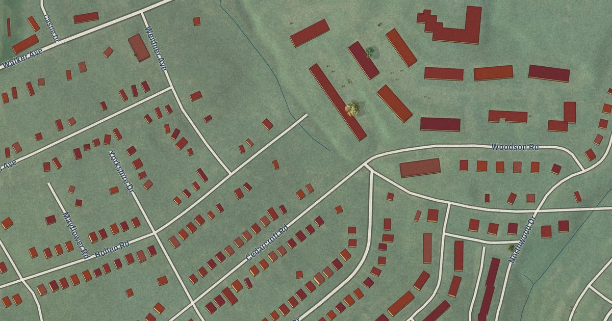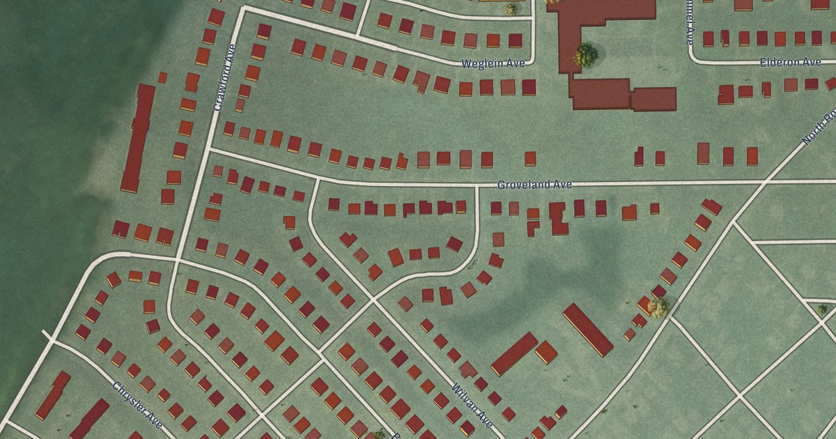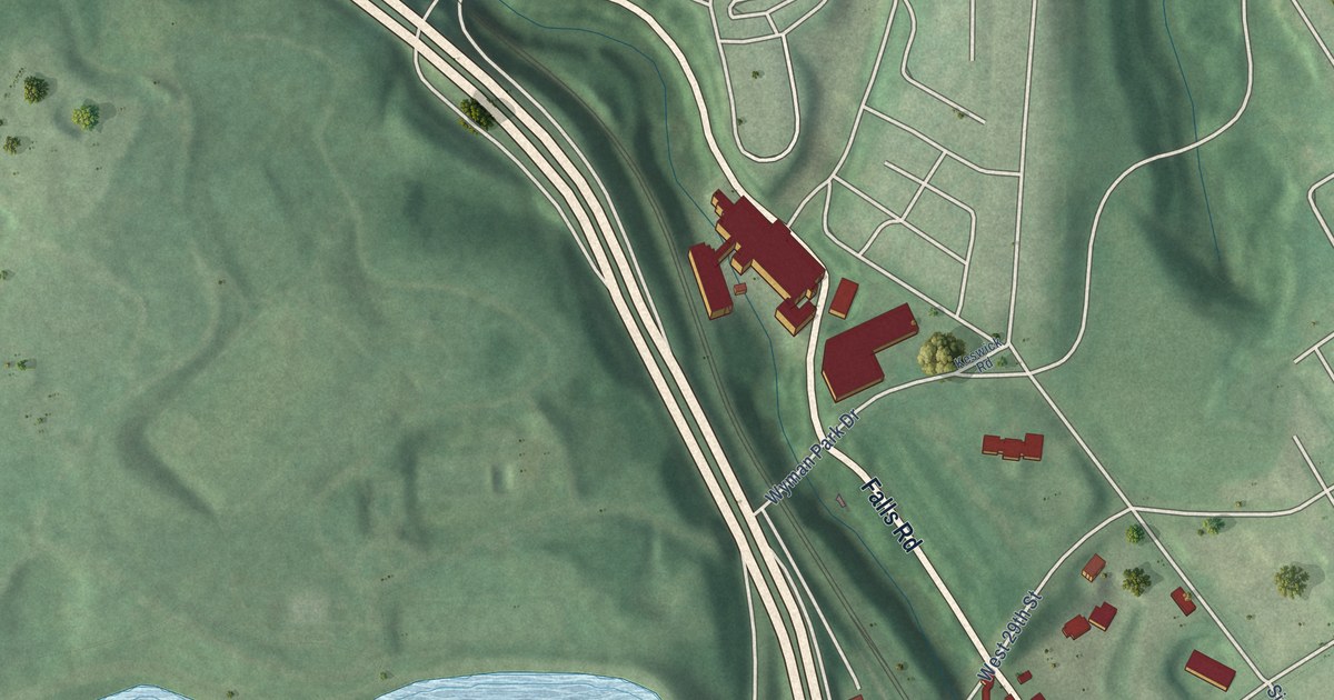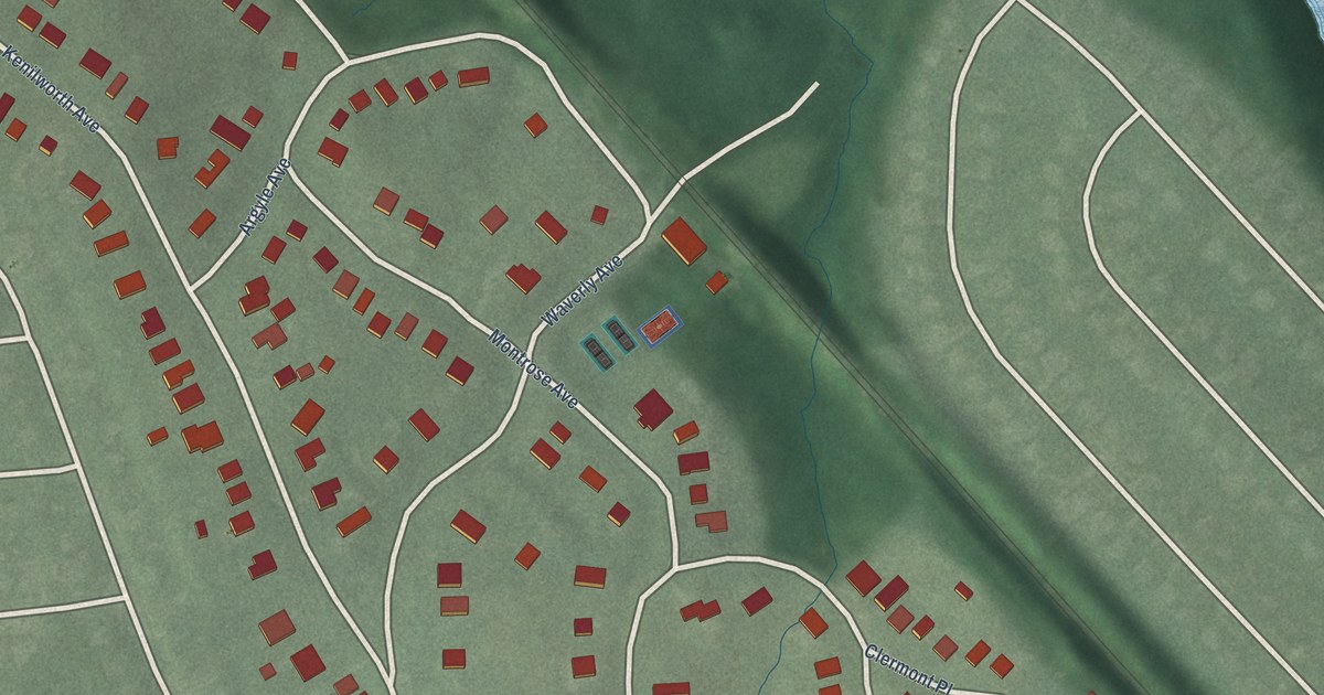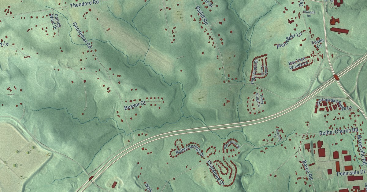
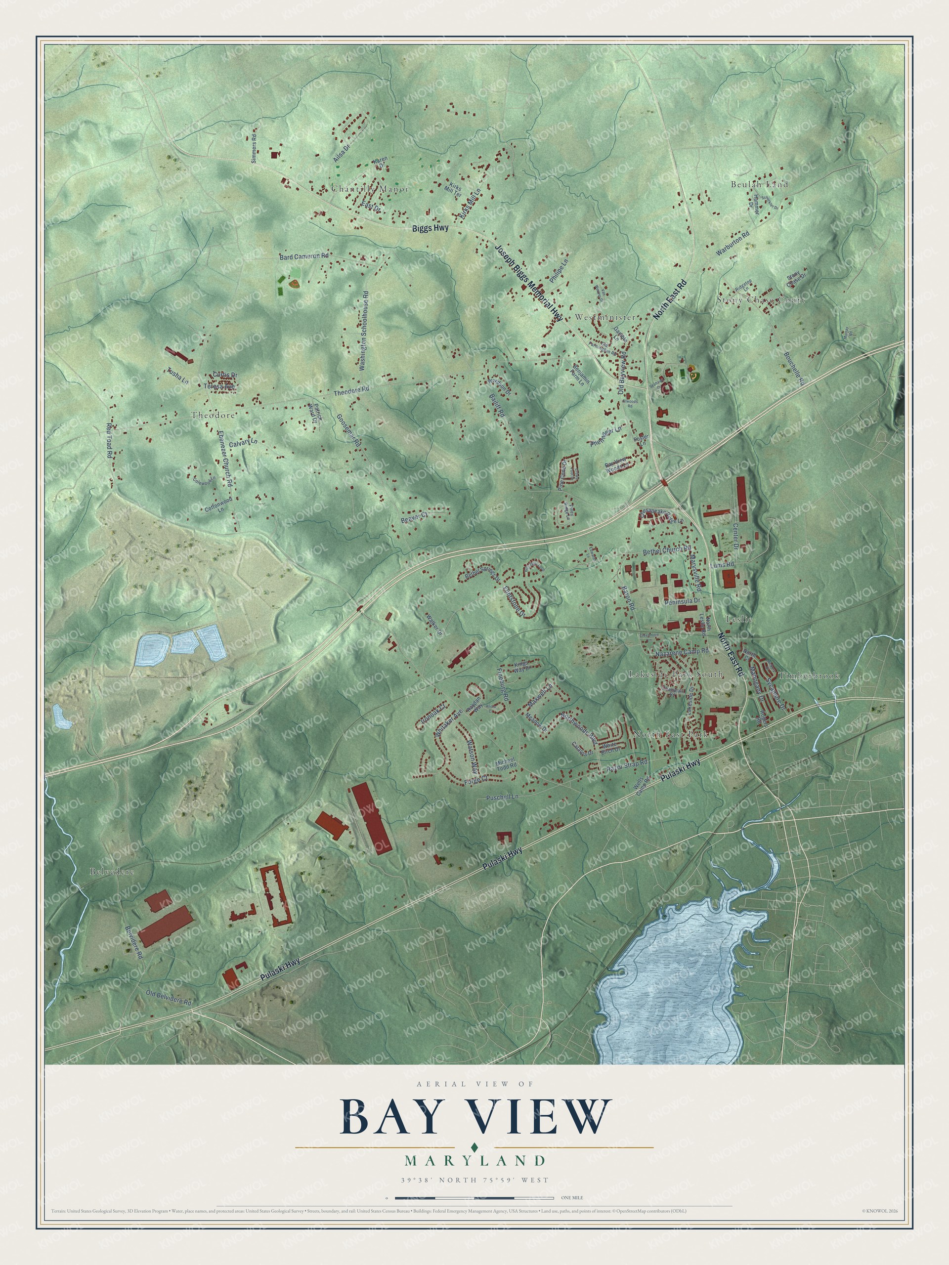
This beautifully detailed map of Bay View, Maryland was created in 2026 using aerial imagery combined with modern topographical, census, street and landmark data. It’s a one-of-a-kind view of Bay View that combines accurate data with a vintage aesthetic. The map shows every building in its true location, many of the roads carry their names, and the shaded topographic relief shows the shape of the land.
Explore an aerial view of Bay View, Maryland
On the map you’ll find Theodore, Beulah Land, Belvedere, Timberbrook, Chantilly Manor, Westminister, North East Park, Leslie, and Lakeside Park South, along with Stony Chase Court, North East Road, Pulaski Highway, and more. If you look closely you can even find your house accurately drawn in its correct location. Zoom in on the preview to look for yours.
Take a closer look at the Bay View map
Names on this map
These names are printed on this map.
Places: Theodore, Beulah Land, Belvedere, Timberbrook, Chantilly Manor, Westminister, Stony Chase Court, North East Park, Leslie and Lakeside Park South.
Streets and roads: North East Road, Pulaski Highway, Biggs Highway, Joseph Biggs Memorial Highway, Sycamore Drive, Baron Road, Nazarene Camp Road, Flintstone Drive, Red Toad Road, Theodore Road, Bethel Church Road, Bailiff Road.
More street names, A to Z
Ailsa Drive, Alicia Court, Bard Cameron Road, Bay View Woods Lane, Beaver Court, Belvidere Road, Benjamin Farm Lane, Bethel Springs Drive, Billy Goss Loop, Bouchelle Road, Calvary Lane, Catalpa Drive, Center Drive, Champlain Road, Chesapeake Ridge Lane, Colewood Lane, Cottonwood Lane, Creedmore Lane, Crows Foot Drive, Curtis Drive, East Drive, Ebenezer Church Road, Edwards Lane, Elwoods Road, Fineburg Road, Forge Court, Foster Lane, Gamble Lane, Goosemar Road, Hammer Drive, Hickory Drive, Ironoak Court, Karen Drive, Kings Way Drive, Kirks Mill Lane, Kirks Mill Terrace, Lakeside Drive, Lums Road, Mahogany Drive, Marysville Road, Maxwell Lane, Meadow Drive, Michael Todd Road, Murray Road, North Court, North Leslie Road, Northwoods Boulevard, Old Bayview Road, Old Belvidere Road, Old Farmington Road, Patrick Ward Drive, Peninsula Drive, Phenneger Lane, Philipe Lane, Pine Cone Drive, Piney Ridge Lane, Puschell Lane, Raydan Way, Razor Strap Road, Ridgetop Lane, Rogers Road, Schuckler Drive, Seahawk Drive, Simmers Road, Stony Chase Drive, Teresa Avenue, Tusha Lane, Van Weaver Drive, Walker Drive, Warburton Road, Wardson Drive, Washington Schoolhouse Road, Watson Way, Wells Camp Road, Whitaker Avenue, White Birch Drive.
See it on a wall
The Bay View map as a framed print. Swipe for more.


This beautifully detailed map of Bay View makes an attractive addition to your office, library, or den, and it can even be used to teach children the geography and history of the area. It also makes a great gift for anyone with Bay View roots. When you’re done exploring, click here to get your copy of the Bay View map.