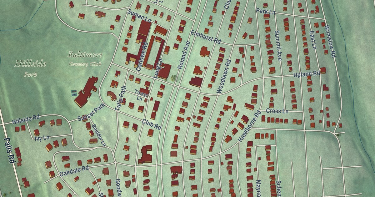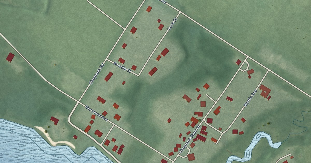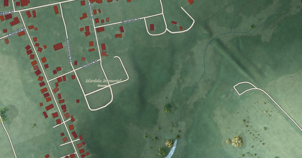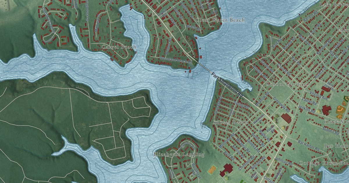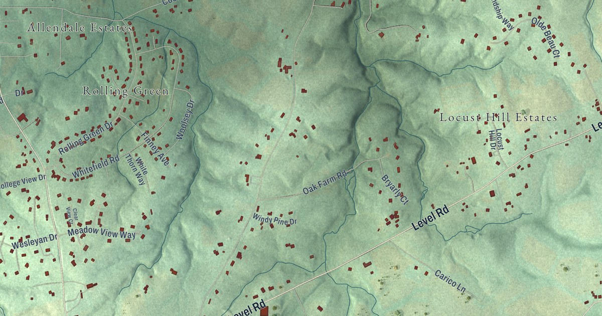
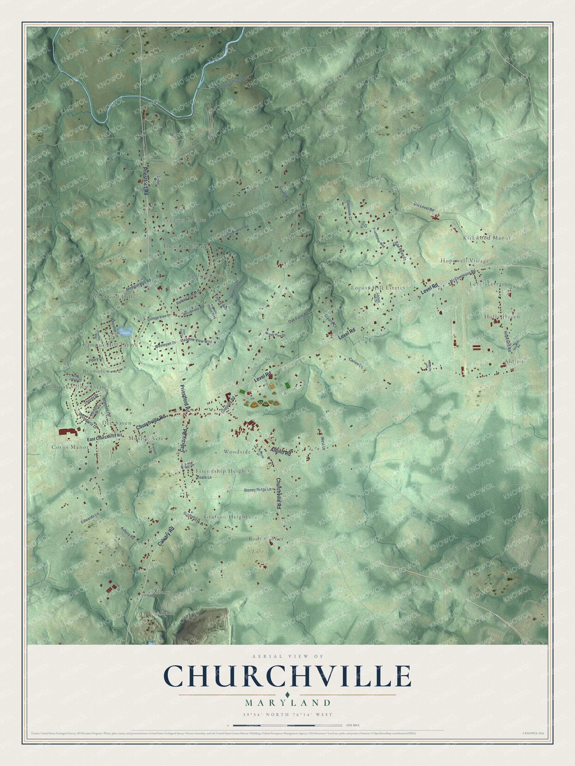
This beautifully detailed map of Churchville, Maryland was created in 2026 using aerial imagery combined with modern topographical, census, street and landmark data. It’s a one-of-a-kind view of Churchville that combines accurate data with a vintage aesthetic. The map shows every building in its true location, many of the roads carry their names, and the shaded topographic relief shows the shape of the land.
Explore an aerial view of Churchville, Maryland
On the map you’ll find Lohr’s Orchard, Kirkwood Manor, Pegasus Estates, Campus Hill Farms, Chatham, Locust Hill Estates, Corns Manor, Woodside, Aldino, Priestford Hills, and Moxley Acres, along with Level Terrace, and more. If you look closely you can even find your house accurately drawn in its correct location. Zoom in on the preview to look for yours.
Take a closer look at the Churchville map
Names on this map
These names are printed on this map.
Places: Lohr's Orchard, Kirkwood Manor, Pegasus Estates, Campus Hill Farms, Chatham, Locust Hill Estates, Corns Manor, Woodside, Aldino, Priestford Hills, Moxley Acres, Level Terrace, Campus Valley Estates, Rolling Green, Grafton Heights, Bodt Corner, Friendship Heights, Holly Haven, Allendale Estates, Bramblewood, Deerhaven, Calvary and Hopewell Village.
Streets and roads: Churchville Road, Level Road, Priestford Road, Calvary Road, Aldino Road, Glenville Road, Cool Branch Road, Harmony Church Road, Asbury Road, Hopewell Road, Whitefield Road, Grafton Lane.
More street names, A to Z
Alydar Court, Bramble Lane, Bryarly Court, Carico Lane, Clear View Court, Coale Lane, Coale Road, College View Drive, Drive, East Churchville Road, Edwards Lane, Finney Avenue, Friendship Way, Glenview Court, Goucher Way, Hopkins Road, King Johns Court, Kragl Drive, Locust Hill Drive, McCommons Road, Meadow View Way, Medical Hall Road, Oak Farm Road, Olde Beau Court, Old Level Road, Palmyra Drive, Peery Drive, Pressie Lane, Rhineforte Drive, Rolling Green Drive, Stoney Ridge Lane, Thorny Drive, Timothy Drive, Vista Court, Wesleyan Drive, West Lane, Wheaton Lane, White Thorn Way, Windy Pine Drive, Woodside Drive, Woolsey Drive.
See it on a wall
The Churchville map as a framed print. Swipe for more.


This beautifully detailed map of Churchville makes an attractive addition to your office, library, or den, and it can even be used to teach children the geography and history of the area. It also makes a great gift for anyone with Churchville roots. When you’re done exploring, click here to get your copy of the Churchville map.