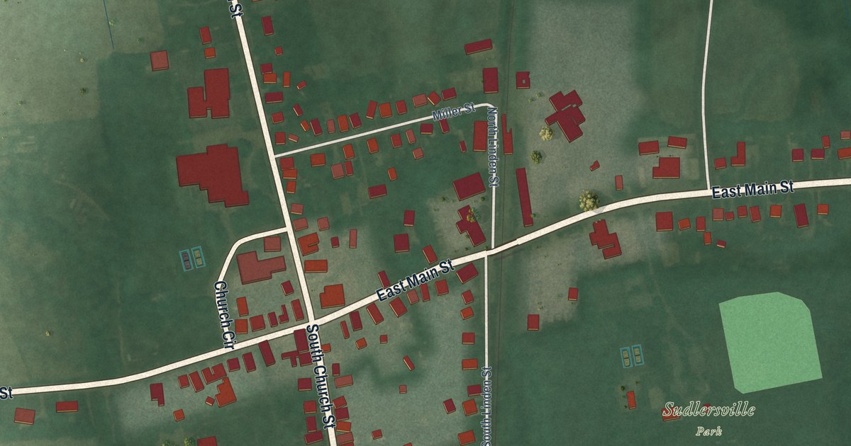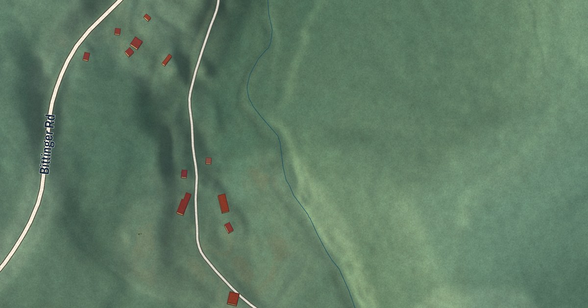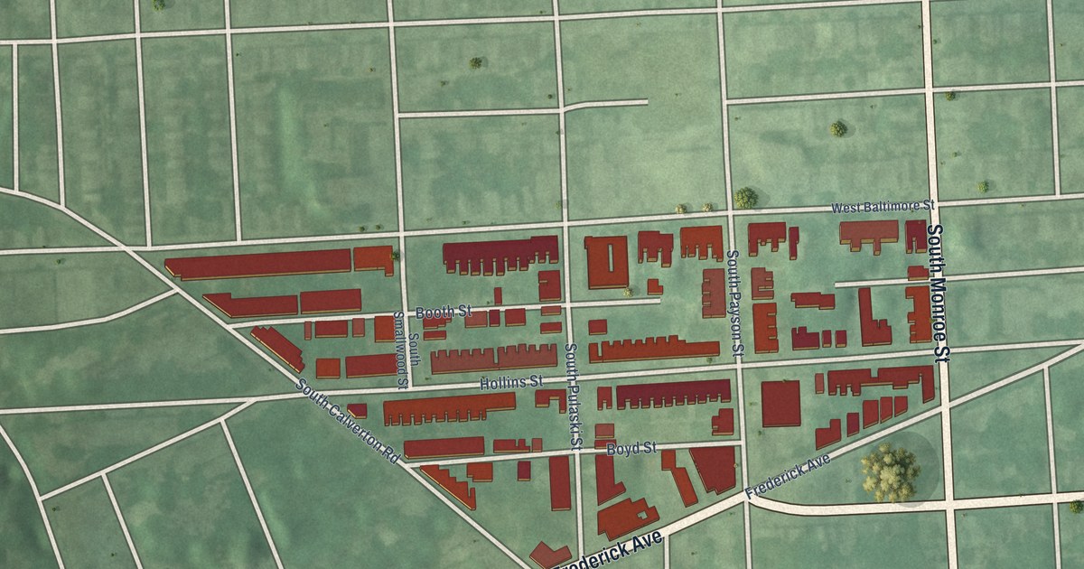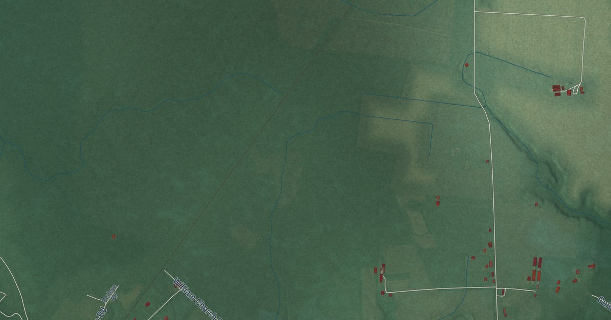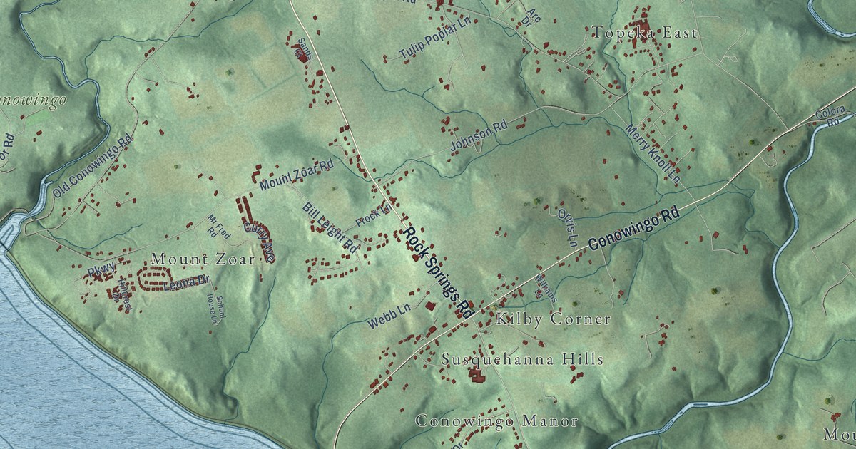
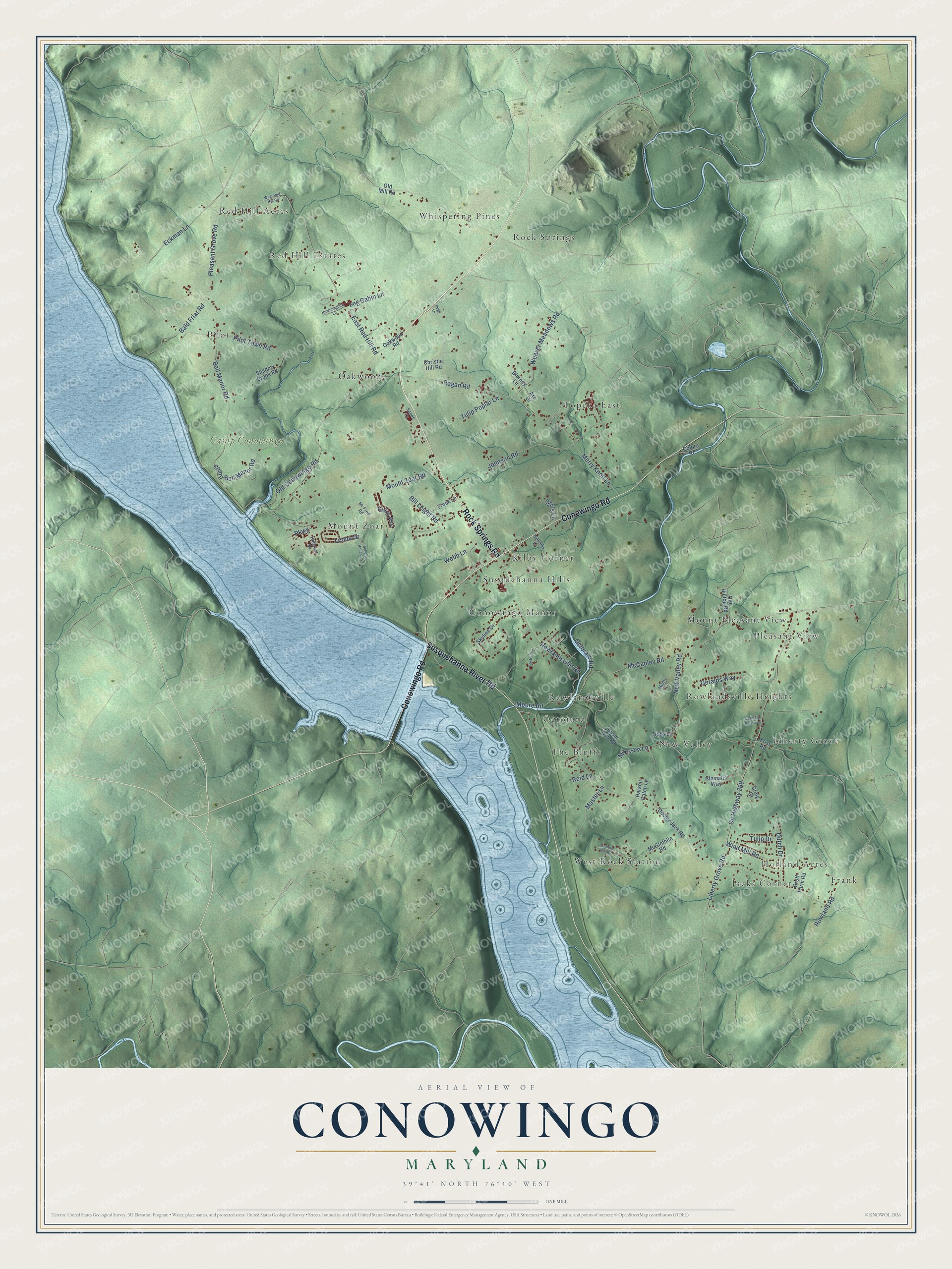
This beautifully detailed map of Conowingo, Maryland was created in 2026 using aerial imagery combined with modern topographical, census, street and landmark data. It’s a one-of-a-kind view of Conowingo that combines accurate data with a vintage aesthetic. The map shows every building in its true location, many of the roads carry their names, and the shaded topographic relief shows the shape of the land.
Explore an aerial view of Conowingo, Maryland
On the map you’ll find Holland Acres, Jacks Corner, Camp Conowingo, Rock Springs, Pleasant View, Red Hill Acres, Conowingo Manor, Topeka East, Oakwood, West Rock Station, Liberty Grove, Octoraro, and more. If you look closely you can even find your house accurately drawn in its correct location. Zoom in on the preview to look for yours.
Take a closer look at the Conowingo map
Names on this map
These names are printed on this map.
Places: Holland Acres, Jacks Corner, Camp Conowingo, Rock Springs, Pleasant View, Red Hill Acres, Conowingo Manor, Topeka East, Oakwood, West Rock Station, Liberty Grove, Octoraro, Pilot, New Valley, Mount Zoar, Frank, Rowlandsville Heights, Kilby Corner, Rowlandsville, Red Hill Estates, Mount Pleasant View, The Bluffs, Susquehanna Hills and Whispering Pines.
Streets and roads: Rock Springs Road, Conowingo Road, Susquehanna River Road, Rowlandsville Road, Pleasant Grove Road, County Highway 269, Liberty Grove Road, Bell Manor Road, McCauley Road, Ragan Road, Old Conowingo Road, Pilot Town Road.
More street names, A to Z
Arc Drive, Bald Friar Road, Basin Run Road, Bill Leight Road, Blarney Lane, Camp Bell Manor Road, Canning House Lane, Christie Hill Road, Clematis Way, Colora Road, Craig Court, Curry Avenue, Doctor Jack Road, Dutch Drive, East Red Hill Road, Eckman Lane, Frist Road, Frock Lane, Geralds Way, Granite Run Drive, Groff Farm Road, Hillcrest Drive, Hostettor Lane, Hummingbird Lane, Johnson Road, Leona Drive, Log Cabin Lane, Master Lane, McGlothlin Road, Merry Knoll Lane, Monty Lane, Moore Road, Morrison Lane, Mount Zoar Road, Mr Fred Road, New Valley Road, Oakwood Road, Octoraro Road, Old Hilltop Road, Old Mill Road, Orvis Lane, Parkway, Parson Patch Lane, Pugh Lane, Reid Lane, Rowland Road, Sands Court, School House Lane, Shadow Brook Road, Skyline Drive, Tibbs Lane, Tulip Drive, Tulip Poplar Lane, Weaver Meadows Road, Webb Lane, West Red Hill Road, Williams Lane, Wind Mill Road.
See it on a wall
The Conowingo map as a framed print. Swipe for more.


This beautifully detailed map of Conowingo makes an attractive addition to your office, library, or den, and it can even be used to teach children the geography and history of the area. It also makes a great gift for anyone with Conowingo roots. When you’re done exploring, click here to get your copy of the Conowingo map.