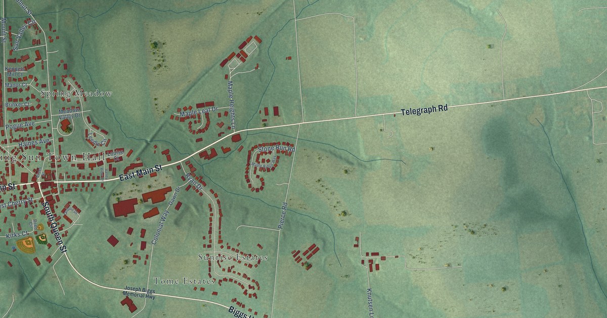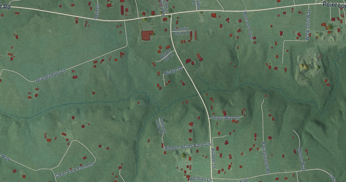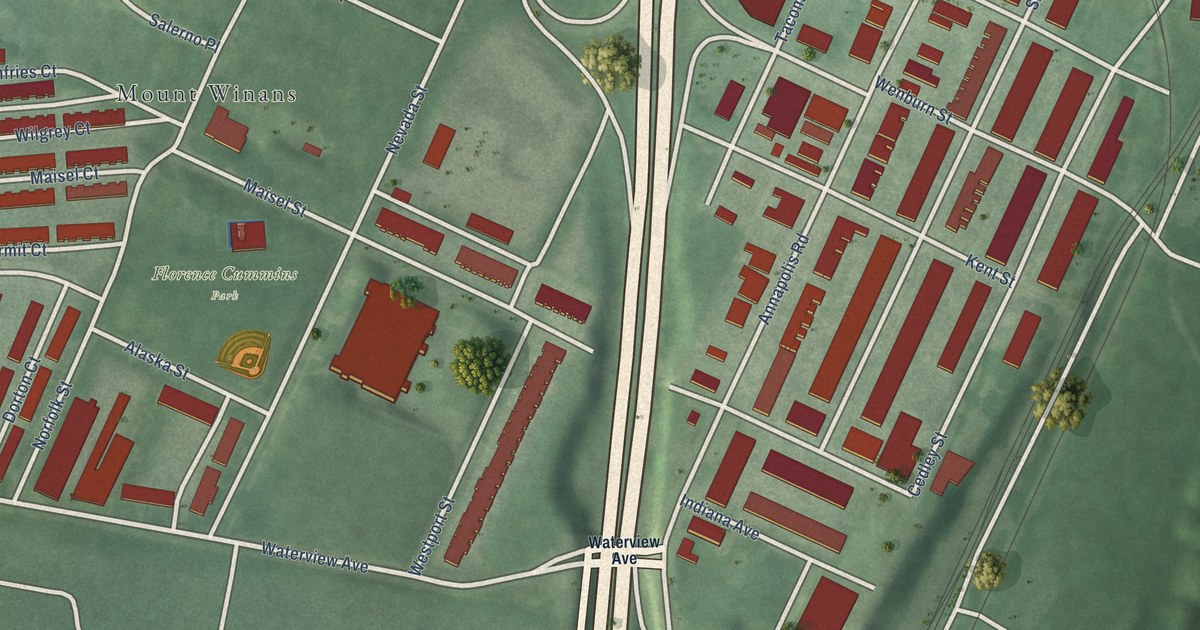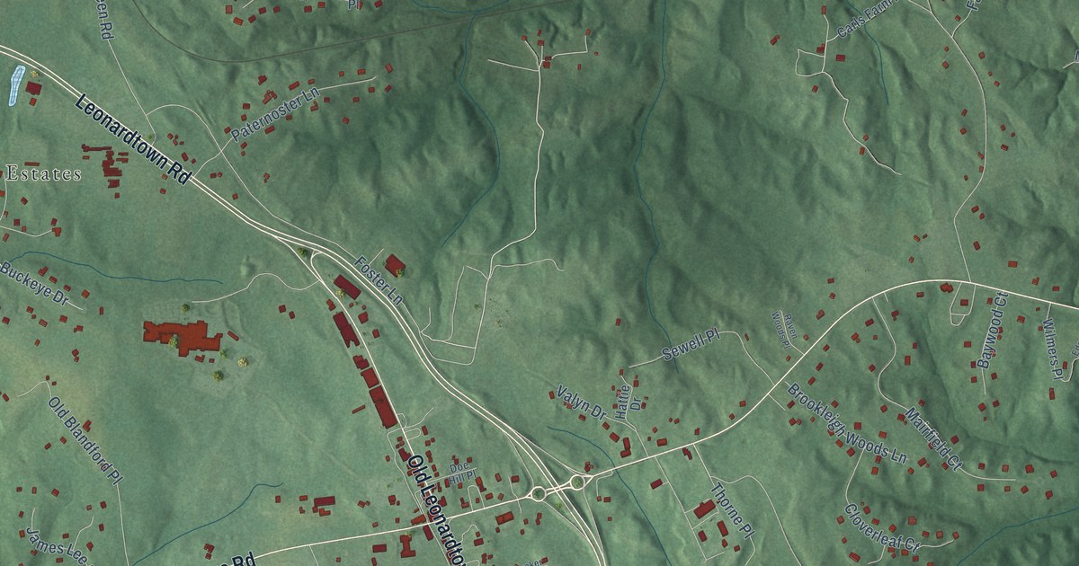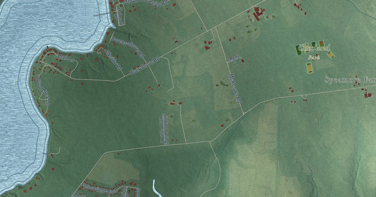
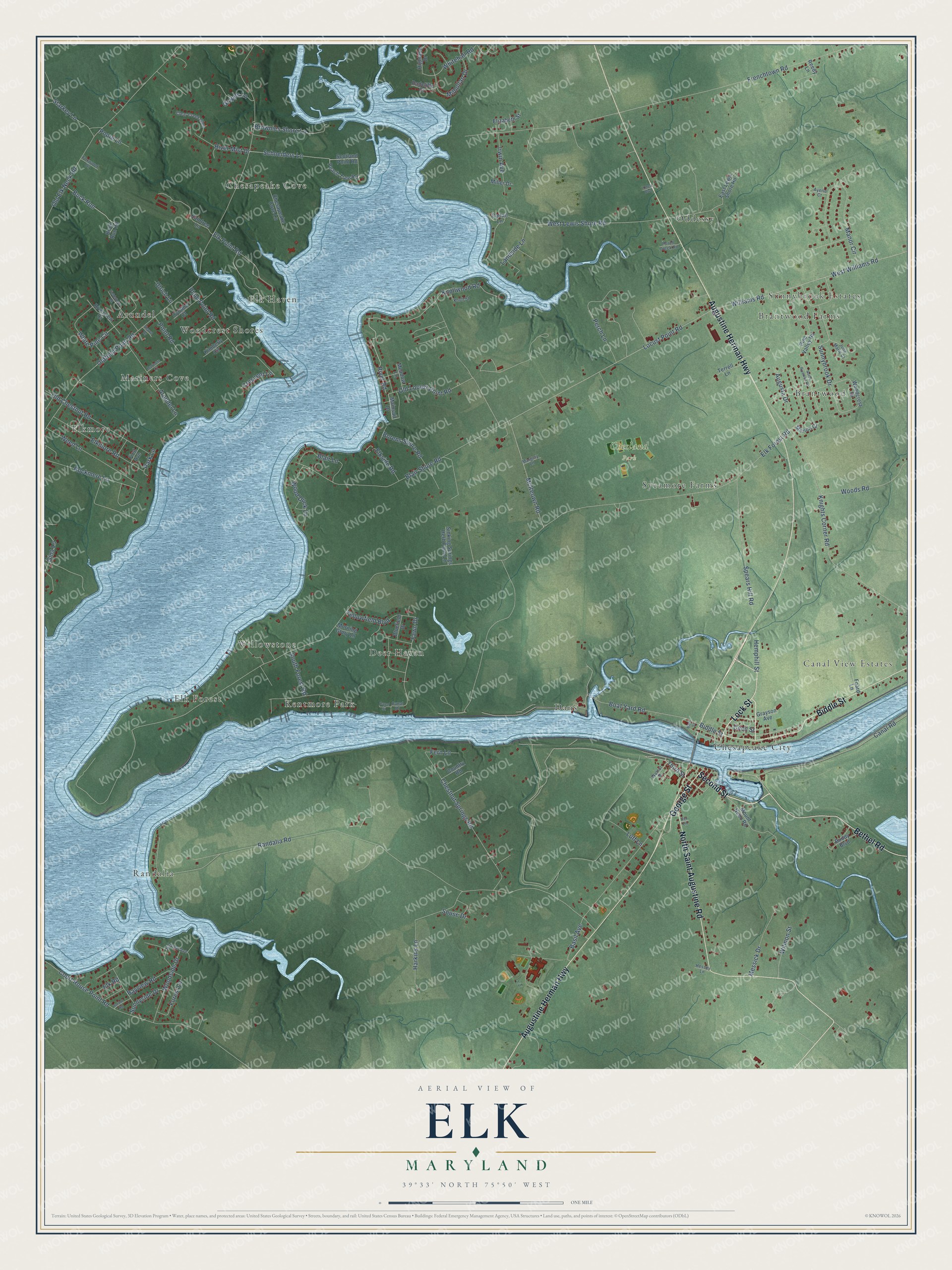
This beautifully detailed map of Elk, Maryland was created in 2026 using aerial imagery combined with modern topographical, census, street and landmark data. It’s a one-of-a-kind view of Elk that combines accurate data with a vintage aesthetic. The map shows every building in its true location, many of the roads carry their names, and the shaded topographic relief shows the shape of the land.
Explore an aerial view of Elk, Maryland
On the map you’ll find Chesland Park, Randalia, Elkmore, Sunnybrook Estates, Chesapeake Cove, Dans, Elk Forest, Woodcrest Shores, Brantwood, Deer Haven, Canal View Estates, Chesapeake City, and more. If you look closely you can even find your house accurately drawn in its correct location. Zoom in on the preview to look for yours.
Take a closer look at the Elk map
Names on this map
These names are printed on this map.
Places: Chesland Park, Randalia, Elkmore, Sunnybrook Estates, Chesapeake Cove, Dans, Elk Forest, Woodcrest Shores, Brantwood, Deer Haven, Canal View Estates, Chesapeake City, Willowstone, Mariners Cove, Oddessy, Elk Haven, Arundel, Kentmore Park, Sycamore Farms and Brantwood Farms.
Streets and roads: Second Street, Lock Street, Augustine Herman Highway, North Saint Augustine Road, Biddle Street, Bethel Road, George Street, River Road, Third Street, McKeown Road, Schneiders Lane, Locust Point Road.
More street names, A to Z
Arundel Lane, Augusta Drive, Ayerle Court, Bank Street, Basil Avenue, Bayview Road, Blair Lane, Blair Shore Road, Bluefield Drive, Boat Yard Road, Borens Shore Road, Brownies Shore Lane, Buck Run, Buck Run Road, Buddy Boulevard, Canal Drive, Canal Road, Canal Street, Cattail Lane, Cecil Street, Chesapeake Cove Lane, Chestnut Springs Road, Clear Creek Glen, Country Road, Court House Point Road, Crescent Lane, Cynthia Court, East Lewis Shore Road, Elizabeth Street, Elk Forest Road, Elkmore Road, Elk Point Road, Elk Road, Elkside Road, Fawn Drive, Fern Lane, Fieldstone Road, First Avenue, Foard Lane, Forest Lane, Foxwood Drive, Frenchtown Road, Gina Lane, Grapes Lane, Grayson Avenue, Harbor Road, Harkins Lane, Hemphill Street, Hessey Lane, Highland Drive, Hillview Avenue, Iler Lane, Irwin Avenue, Julia Marie Court, Kimberly Circle, Knights Corner Road, Knoll Street, Knollwood Road, Landside Lane, Luff Lane, Mainsail Drive, Manor Circle, Margery Lane, Mariners Court, Meadow Lane, Merion Court, Messick Drive, Milhollan Drive, Miller Drive, Morning Glory Lane, Mount Nebo Road, North Riverton Road, Old Chestnut Road, Old Elk Neck Road, Oldfield Point Road, Old Locust Point Road, Park Lane, Peach Tree Road, Perch Creek Road, Perch Lane, Pine Valley Road, Plum Point Road, Point Road, Poore Lane, Radcliffe Court, Raintree Lane, Randalia Road, Reedy Lane, River Mist Drive, Riverview Court, Rockmere Lane, Scotland Point Road, Shawn Drive, Sinking Springs Herb Farm Lane, Souse Drive, South Forest Road, Spears Hill Road, Starkey Lane, Sunnybrook Drive, Sunnyside Drive, Terrell Lane, Ulrich Lane, Walnut Drive, Weed Lane, West Lewis Shore Road, West Williams Road, Whitehall Road, White Pine Circle, Williams Road, Wilmon Street, Woodcrest Drive, Wood Duck Lane, Woodside Drive, Woods Road, Yellowfield Boulevard, Ymca Boulevard.
See it on a wall
The Elk map as a framed print. Swipe for more.


This beautifully detailed map of Elk makes an attractive addition to your office, library, or den, and it can even be used to teach children the geography and history of the area. It also makes a great gift for anyone who grew up in Elk or moved away. When you’re done exploring, click here to get your copy of the Elk map.