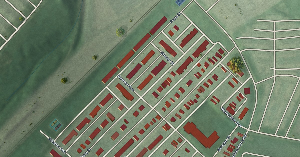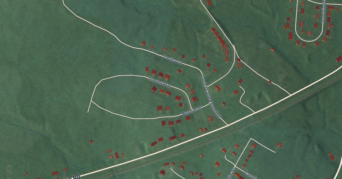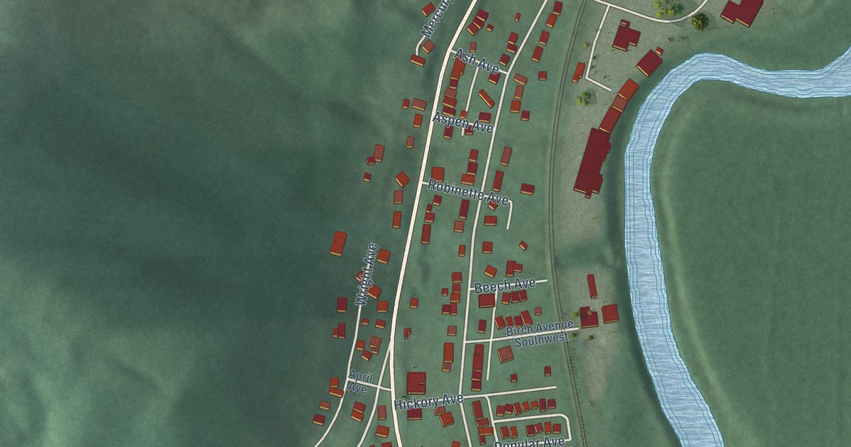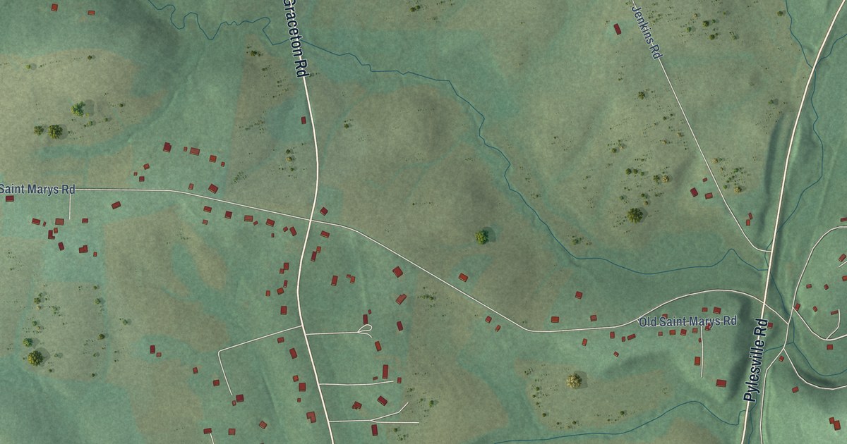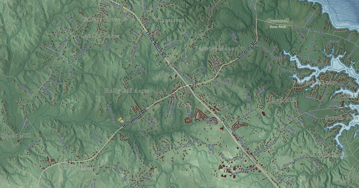
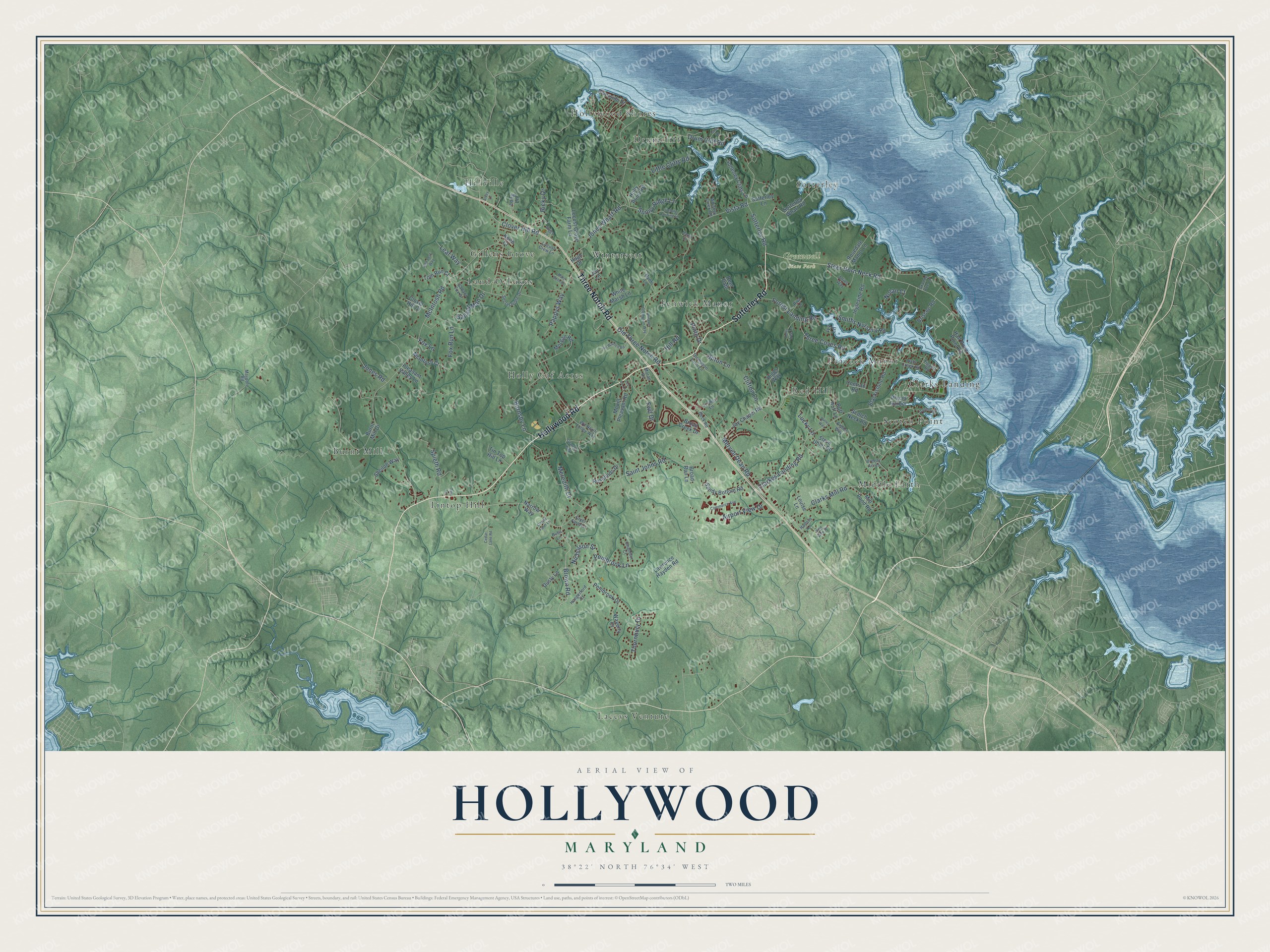
This beautifully detailed map of Hollywood, Maryland was created in 2026 using aerial imagery combined with modern topographical, census, street and landmark data. It’s a one-of-a-kind view of Hollywood that combines accurate data with a vintage aesthetic. The map shows every building in its true location, many of the roads carry their names, and the shaded topographic relief shows the shape of the land.
Explore an aerial view of Hollywood, Maryland
On the map you’ll find Greenwell State Park, Laceys Venture, Holly Gaf Acres, Burnt Mill, Middle Earth, Hillville, Fenwick Manor, Hollywood Shores, Clarks Landing, Sotterley, Land-O-Lakes, Red Hill, and more. If you look closely you can even find your house accurately drawn in its correct location. Zoom in on the preview to look for yours.
Take a closer look at the Hollywood map
Names on this map
These names are printed on this map.
Places: Greenwell State Park, Laceys Venture, Holly Gaf Acres, Burnt Mill, Middle Earth, Hillville, Fenwick Manor, Hollywood Shores, Clarks Landing, Sotterley, Land-O-Lakes, Red Hill, Winterseat, Scotch Point, Tintop Hill, Peacock Manor, Drumcliff and Gillens Grove.
Streets and roads: Hollywood Road, Sotterley Road, Three Notch Road, Steer Horn Neck Road, Brown Road, Clover Hill Road, McIntosh Road, Saint Johns Road, Clarkes Landing Road, Mervell Dean Road, Jones Wharf Road, Vista Road.
More street names, A to Z
Airport View Drive, Allies Way, Alvey Lane, Amber Way, Barnsby Lane, Beck Road, Blackistone Road, Breezy Acres, Briscoe Road, Briscoe Thompson Way, Broad Creek Drive, Broad Run Lane, Buba Lane, Burnt Mill Drive, Cedar Lane Road, Chandler Court, Clarks Mill Road, Clifton Lane, Clover Hill Court, Commerce Avenue, Contrail Road, Cryer Farm Lane, Daniel Farm Lane, Daniels Road, Deer Path, Drum Cliff Road, Dusty Lane, Fawn Lane, Forest Landing Road, Fox Lane, Fox Run Lane, Fwd Drive, Gallant Fox Drive, Gallant Man Drive, Grande Vue Lane, Grateful Way, Halford Lane, Half Pone Point Road, Higgs Lane, Higgs Way, Hill Road, Holly Point Road, Holly Tree Lane, Hugh Drive, Hungerford Court, Ingleside Road, Ivy Lane, Joe Wathen Road, Jones Road, Joy Chapel Road, Joy Lane, Keith Court, Lawrence Hayden Road, Leaf Way, Lee Lo Lane, Lifelong Landing Lane, Little Cliffs Road, Locust Crew Lane, Locust Grove Farm Lane, Long Lane, Louise Lane, Lucky Lane, Martin Lane, Mary Beth Court, Maypole Road, McIntosh Court, Meredith Court, Mill Pond Road, Moran Drive, Morgan Road, Mount Pleasant Road, Myers Lane, Narrow Way, Nats Creek Road, Nicholson Street, Nolan Court, Old Three Notch Road, Pappys Way, Pembrook Drive, Pembrook Lane, Pine View Drive, Pinto Drive, Placid Harbor, Pleasant Valley Lane, Red Leaf Way, Ricky Drive, Riva Lane, Riverside Drive, Rosalinds Drive, Rosedale Manor Lane, Ruff Ruff Lane, Sandy Bottom Road, Scotch Neck Road, Scriber Lane, Secretariate Drive, Sheiloh Way, Smiths Nursery Road, Sotterley Cliffs Lane, Sotterley Lane, Sotterley Wharf Road, Spieth Road, Steve Uhler Road, Sunny Ridge Lane, Thompson Farm Lane, Thornbury Drive, Three Coves Road, Tin Top Hill Lane, Tippett Road, Tom Run Court, Twin Lane, Upton Lane, Waverly Court, Whiskey Creek Road, White Marsh Lane, Willey Way, Wit North Folley Way.
See it on a wall
The Hollywood map as a framed print. Swipe for more.


This beautifully detailed map of Hollywood makes an attractive addition to your office, library, or den, and it can even be used to teach children the geography and history of the area. It also makes a great gift for someone who left Hollywood and still calls it home. When you’re done exploring, click here to get your copy of the Hollywood map.