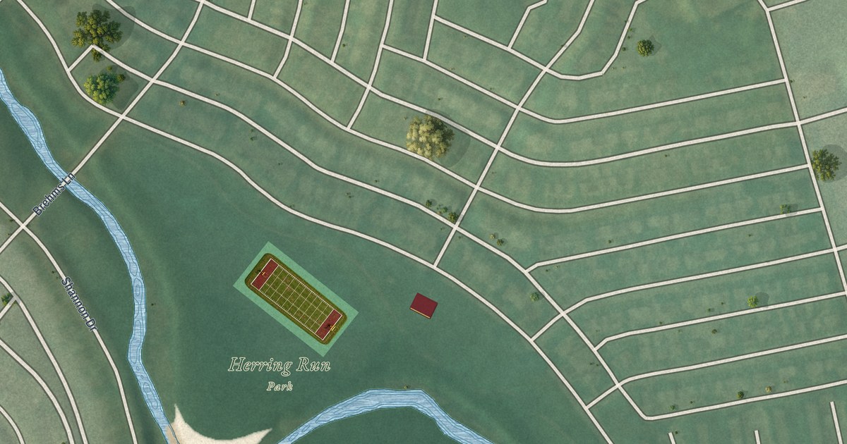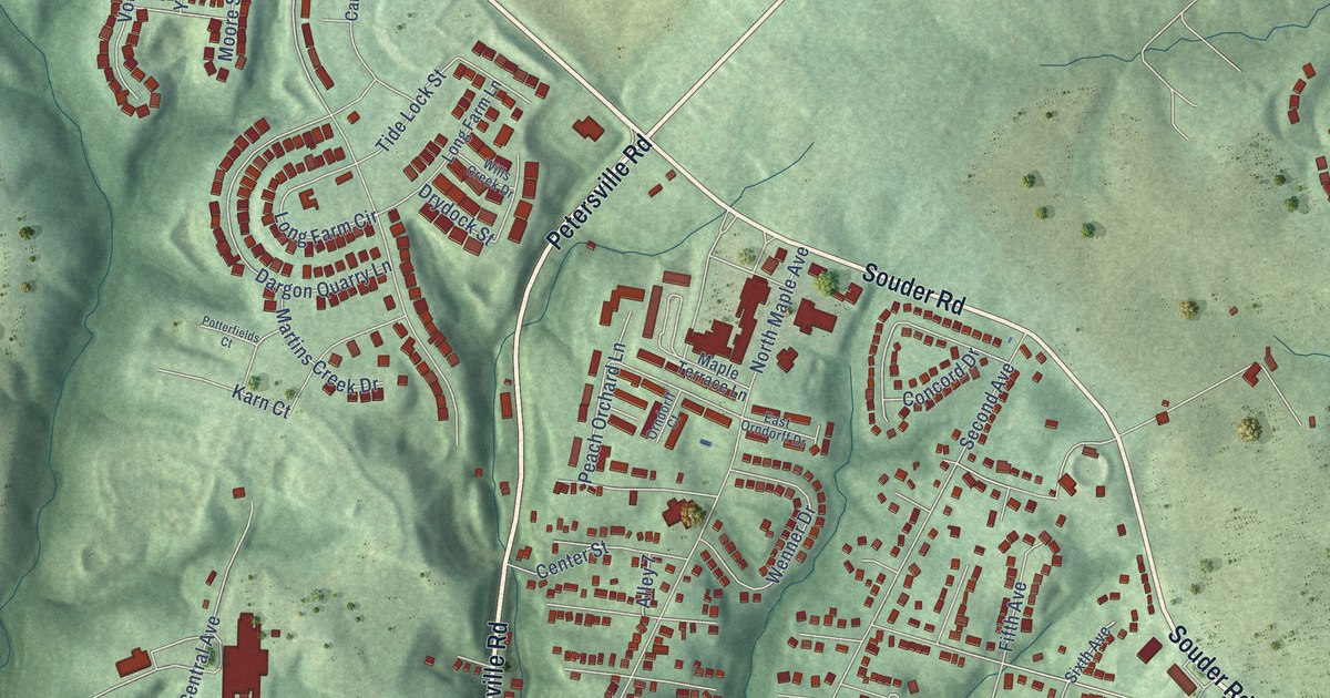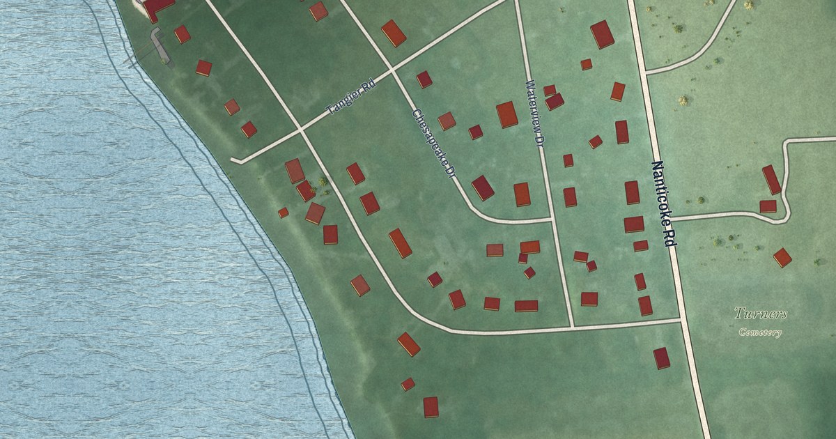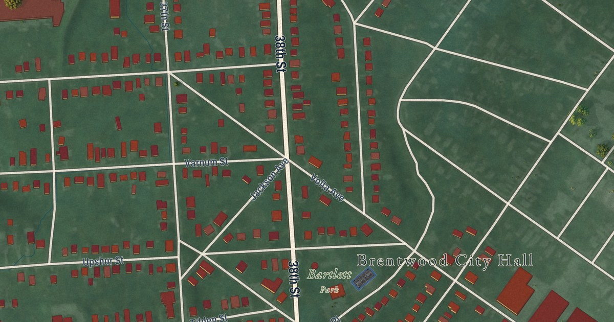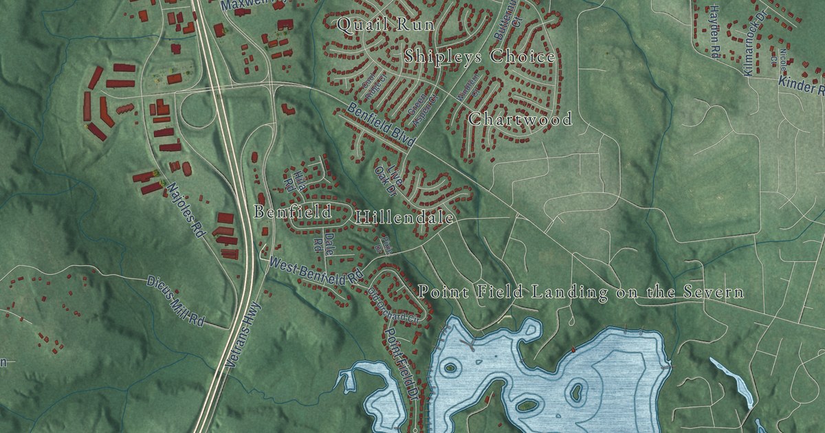
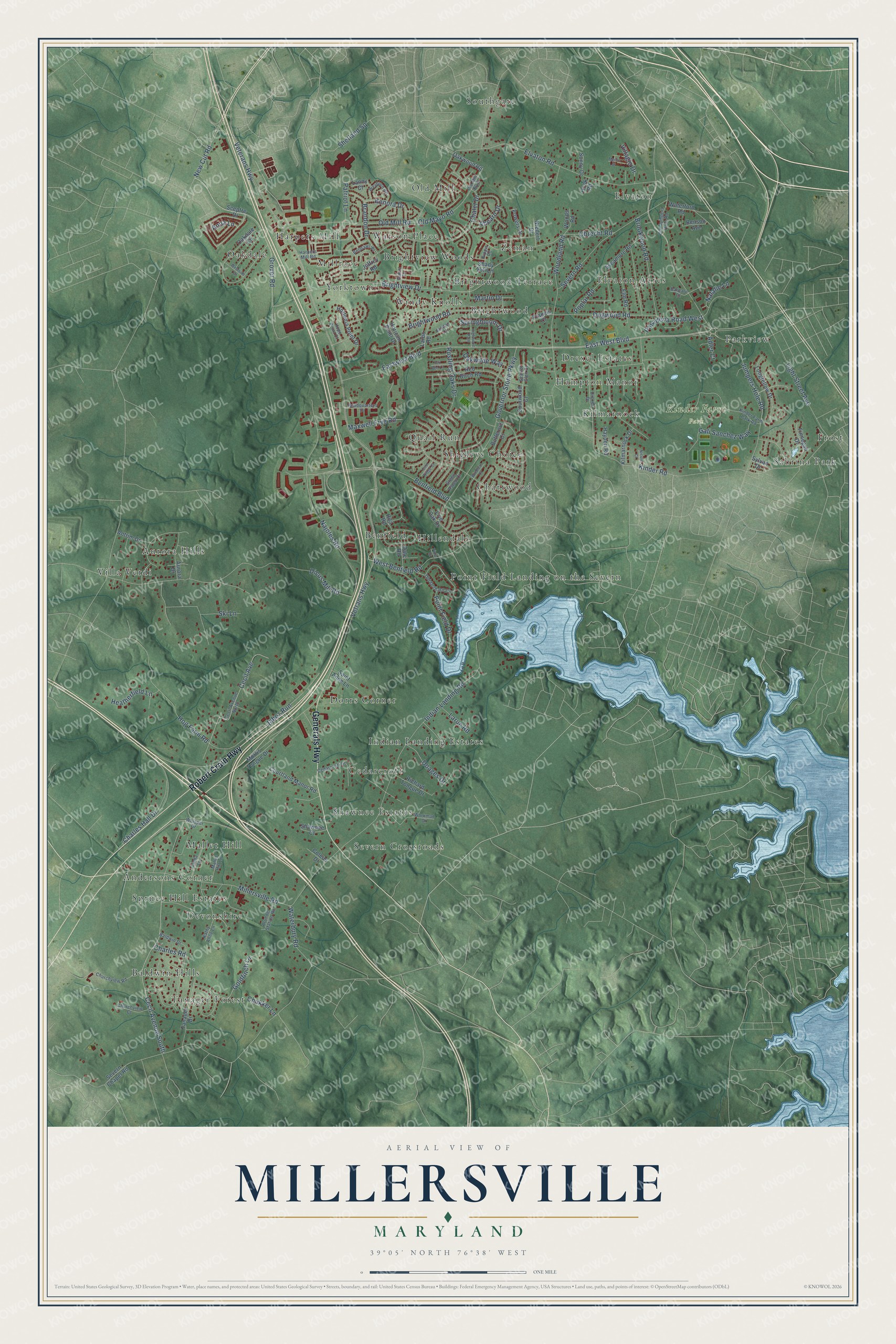
This beautifully detailed map of Millersville, Maryland was created in 2026 using aerial imagery combined with modern topographical, census, street and landmark data. It’s a one-of-a-kind view of Millersville that combines accurate data with a vintage aesthetic. The map shows every building in its true location, many of the roads carry their names, and the shaded topographic relief shows the shape of the land.
Explore an aerial view of Millersville, Maryland
On the map you’ll find Kinder Farm Park, Baldwin Hills, Aurora Hills, Oakdale, Southgate, Severn Crossroads, Point Field Landing on the Severn, Indian Landing Estates, Shipleys Choice, Brightview Woods, Parkview, Elvaton, and more. If you look closely you can even find your house accurately drawn in its correct location. Zoom in on the preview to look for yours.
Take a closer look at the Millersville map
Names on this map
These names are printed on this map.
Places: Kinder Farm Park, Baldwin Hills, Aurora Hills, Oakdale, Southgate, Severn Crossroads, Point Field Landing on the Severn, Indian Landing Estates, Shipleys Choice, Brightview Woods, Parkview, Elvaton, Elvaton Acres, Frost, Devonshire, Cedarcroft, Old Mill, Millrace, Andersons Corner, Hampton Manor, Villa Verdi, Zeman, Windy Knolls, Brightwood Terrace, Mallet Hill, Dorrs Corner, Sabrina Park, Quail Run, Yorktown, Benfield, Chartwood, Tanager Forest, Drexel Estates, Harpers Mill, Spruce Hill Estates, Brightwood, Watson Place, Shawnee Estates, Hillendale and Kilmarnock.
Streets and roads: Robert Crain Highway, Generals Highway, East West Boulevard, Grover Road, Springbloom Drive, Jumpers Hole Road, Veterans Highway, Rustling Oaks Drive, Cecil Avenue, Benfield Boulevard, Indian Landing Road, Vetrans Highway.
More street names, A to Z
Adler Court, Ahearn Drive, Anna Lane, Antrim Drive, Arundel Station Road, Aurora Drive, Baldwin Drive, Barbaro Court, Belmawr Place, Benson Avenue, Brandon Drive, Brightview Drive, Brightwood Road, Brookwood Road, Butternut Court, Cecil Avenue North, Cecil Avenue South, Cedarcroft Drive, Chalet Drive, Charles Hall Drive, Charles Road, Chukker Lane, Churchview Court, Churchview Road, Coleus Drive, Cool Ridge Court, Courtland Manor Road, Dale Road, Dicus Mill Road, Doages Drive, Dogwood Road, Drexel Drive, Eastwest Boulevard, Elm Road, Elvaton Road, Finnegan Drive, Fox Den Lane, Francis Court, Galiot Drive, Gali Sanchez Way, Goldfinch Lane, Governor Stone Parkway, Green Aspen Court, Harpers Mill Road, Hayden Road, Headquarters Drive, Heatherfield Lane, Highwood Path, Hila Road, Hog Farm Road, Hook Road, Hope Point Court, Horicon Point Drive, Hortonia Point Drive, Jabez Run, Jandon Court, Jeffrey Road, Kathy Anne Lane, Kenora Drive, Kilmarnock Drive, Kinder Farm Park Road, Kinder Road, Kippis Road, Lanny Court, Larbo Road, Larue Road, Light Street Avenue, Linda Lane, Live Oak Drive, Longfellow Drive, Mallet Hill Lane, Martin Drive, Maxwell Frye Road, Merlot Street, Millersville Road, Morris Tongue Drive, Najoles Road, Natalie Lane, New Cut Road, Nicole Court, Niedert Drive, Oakdale Circle, Oakwilde Way, Oakwood Road, Obrecht Road, Old Jumpers Hole Road, Old Mayo Road, Old Mill Boulevard, Old Mill Road, Old Orchard Circle, Pasadena Road West, Patriot Lane, Pixie Drive, Point Field Drive, Poplar Road, Powers Drive, Red Birch Road, Richard Tongue Drive, Saint Anne Lane, Scarlet Glen Court, Sceptre Drive, Severn Chapel Road, Severn Road, Shady Hill Lane, Shawnee Court, Shetland Square, Ski Lane, Sonny Drive, Sourwood Court, Sycamore Road, Sylvan Drive, Tanager Drive, Villagio Drive, Waterbury Road, Waterford Road, West Benfield Road, Westside Drive, Weyburn Road, Whisper Drive, Windfern Court, Woodland Road, Woods Road, Workman Drive.
See it on a wall
The Millersville map as a framed print. Swipe for more.


This beautifully detailed map of Millersville makes an attractive addition to your office, library, or den, and it can even be used to teach children the geography and history of the area. It also makes a great gift for someone who left Millersville and still calls it home. When you’re done exploring, click here to get your copy of the Millersville map.