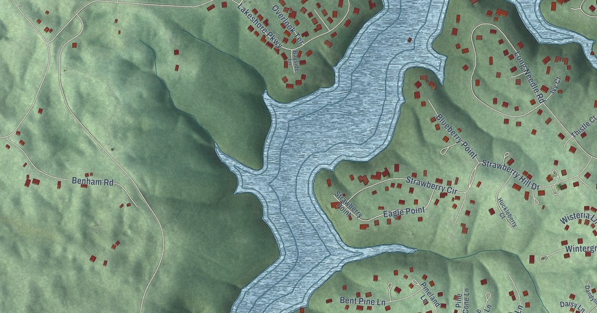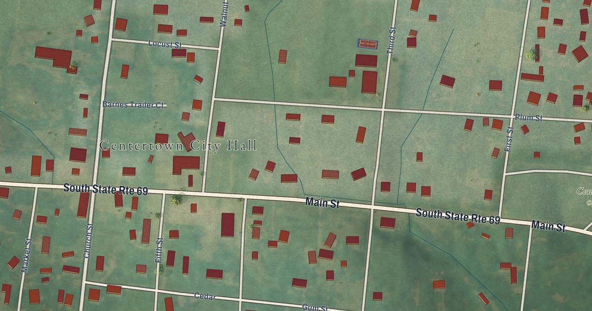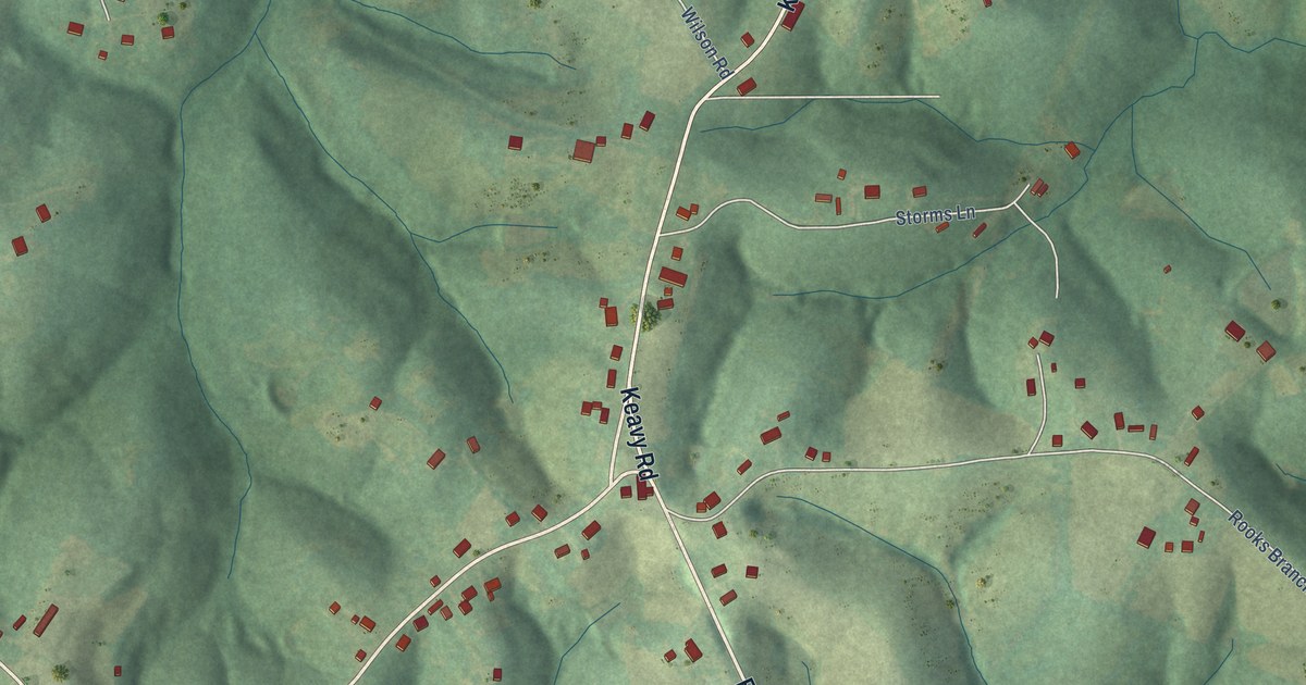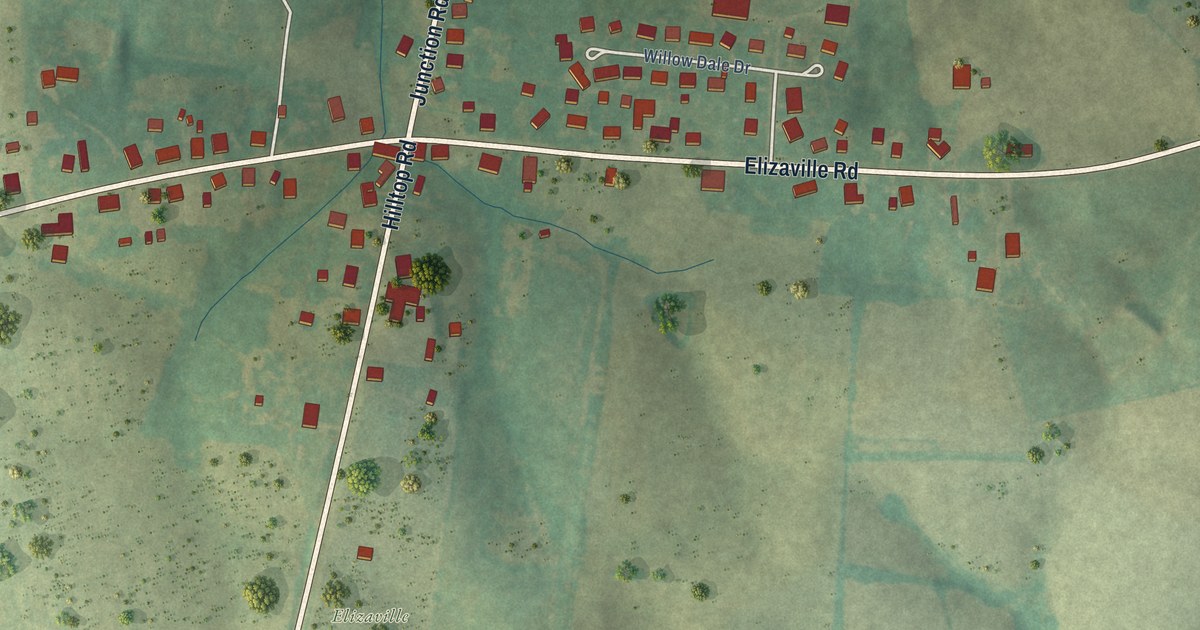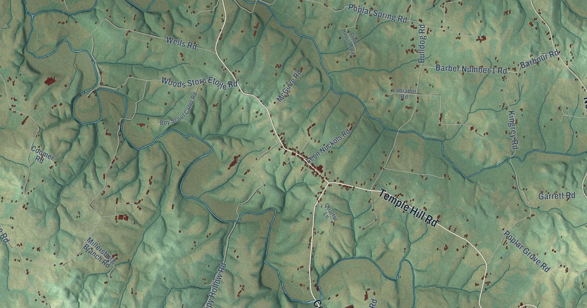
This beautifully detailed map of Temple Hill, Kentucky was created in 2026 using aerial imagery combined with modern topographical, census, street and landmark data. It’s a one-of-a-kind view of Temple Hill that combines accurate data with a vintage aesthetic. The map shows every building in its true location, many of the roads carry their names, and the shaded topographic relief shows the shape of the land.
Explore an aerial view of Temple Hill, Kentucky
On the map you’ll find Bristletown, Etoile, Eighty Eight, and Nobob, along with Tompkinsville Road, Burkesville Road, Roseville Road, Cordell Hull Highway, Temple Hill Road, Nobob Road, Etoile Road, Caney Fork Road, and more. If you look closely you can even find your house accurately drawn in its correct location. Zoom in on the preview to look for yours.
Did You Know?
From Internet Archive: "Van Hoy, of Temple Hill, will preach at Cane Valley, at the Methodist church, the first Sunday in July."
Temple Hill is a community in Barren County.
Take a closer look at the Temple Hill map
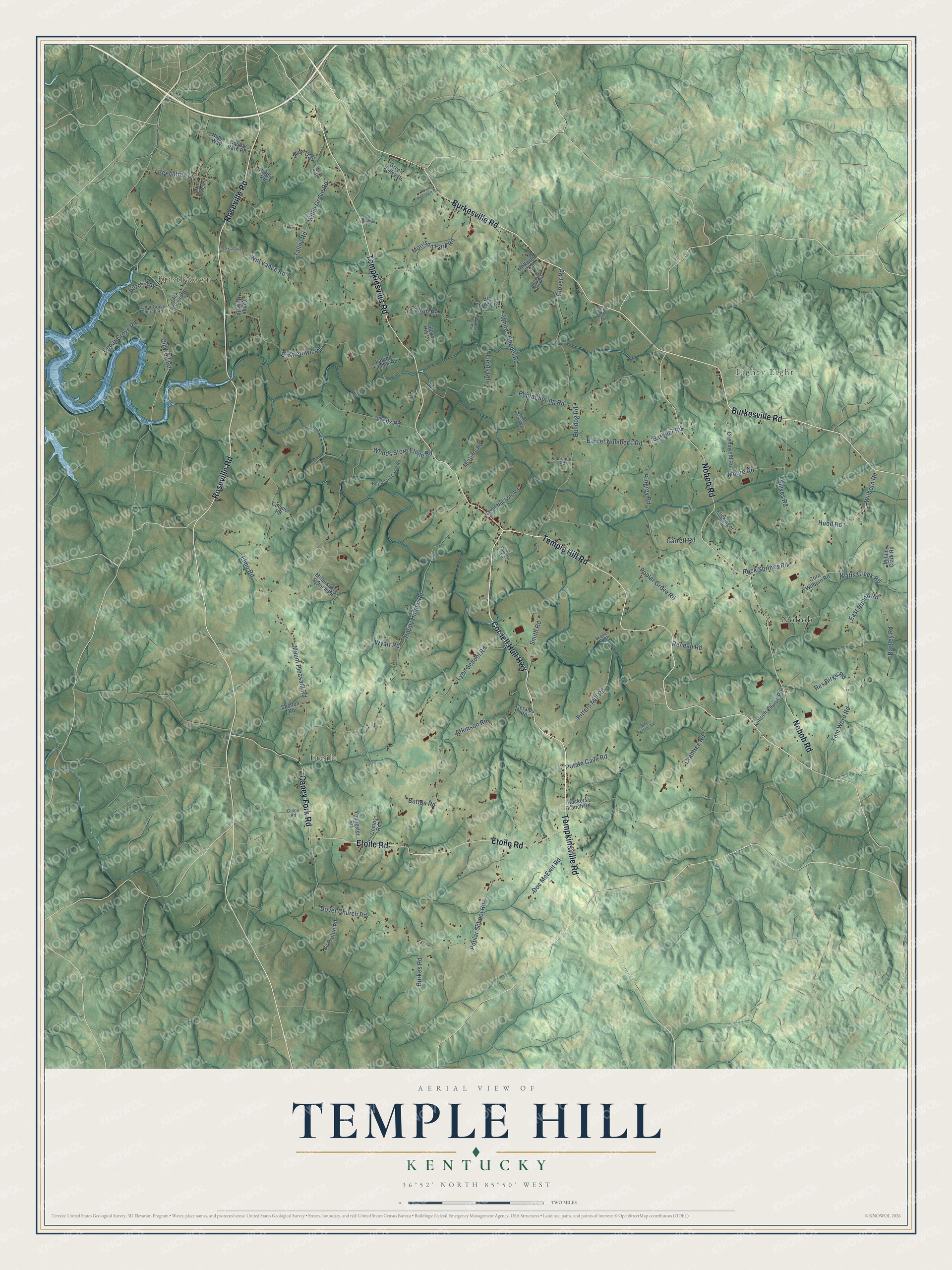
Names on this map
These names are printed on this map.
Places: Bristletown, Etoile, Eighty Eight and Nobob.
Streets and roads: Tompkinsville Road, Burkesville Road, Roseville Road, Cordell Hull Highway, Temple Hill Road, Nobob Road, Etoile Road, Caney Fork Road, Watts Creek Road, Wilborn Road, Oil Well Road, Dover Church Road.
More street names, A to Z
Adam McCreary Road, Antioch Church Road, Atkinson Road, Barber Number 1 Road, Barbour Road, Bartley Road, Bc Proffitt Road, Beechtree Lane, Big Branch Road, Boy Scout Camp Road, Bristletown Road, Brooks Road, Bulldog Road, Burkes Road, Burns Way, Button Road, Cedar Grove Church Road, Cedar Grove Road, Chenoweth Road, Clifton Harrison Road, Combs Road, Coomer Road, Cora Wilborn Road, County Barn Road, Crabtree Road, Doc McEwit Road, East Nobob Road, Elmo Road, Falling Timber Road, Fields Road, Flickinger Lane, Fox Ridge, Fox Trail, Garrett Road, Geralds Road, Gillon Road, Glover Hill Lane, Glover Road, Green Valley Drive, Hackers Branch Road, Happy Hollow Road, Hillwood Road, Hood Road, Hume Way, Jack Brown Road, Kingrey Road, Labrador Road, Leon Nuckols Road, Lyon School Road, McGuire Road, Milam Clark Road, Millersburg Branch Road, Moore Road, Morrison Park Road, Mount Pleasant Road, No Tree Lane, Old Josh Road, Patton Road, Patton Terrace Road, Paul Bastien Lane, Poplar Grove Road, Poplar School Road, Poplar Spring Road, Potato Cave Road, Quarter Lane, Redbud Lane, Reneau Road, Rex Birge Road, Riddle Road, Ritters Mill Road, Rock Springs Road, Rolling Hills Road, Roy Settles Road, Shelton Road, Shives Road, Smith Road, Talley Road, Tom Word Road, Wells Road, Whites Chapel Road, Willie Groce Road, Will Vance Road, Woods Store Etoile Road, Wyatt Road, Yoder Hills Road, Youngster Road.
See it on a wall
The Temple Hill map as a framed print. Swipe for more.


This beautifully detailed map of Temple Hill makes an attractive addition to your office, library, or den, and it can even be used to teach children the geography and history of the area. It also makes a great gift for anyone with Temple Hill roots. When you’re done exploring, click here to get your copy of the Temple Hill map.