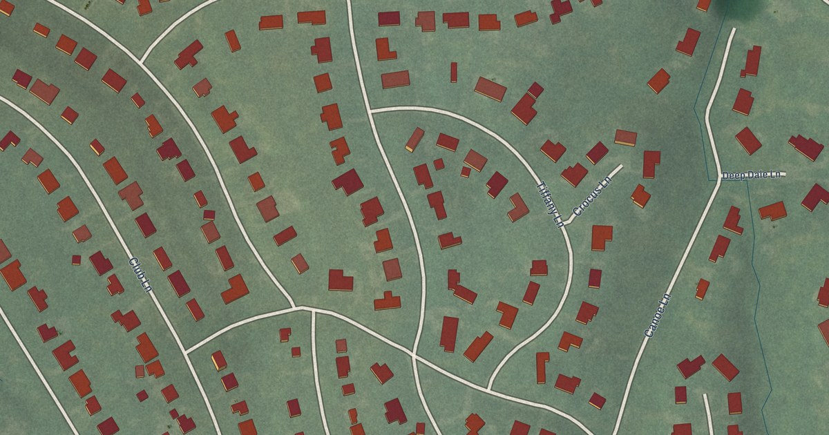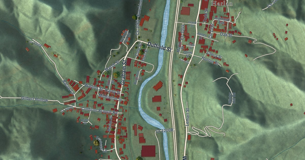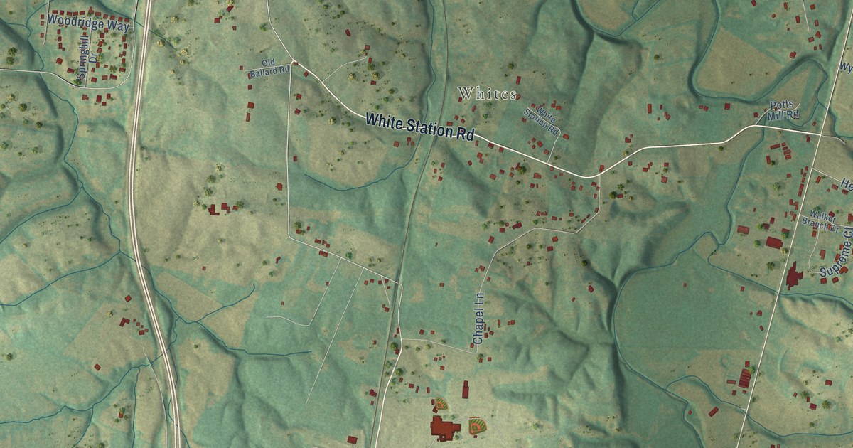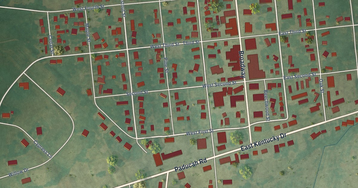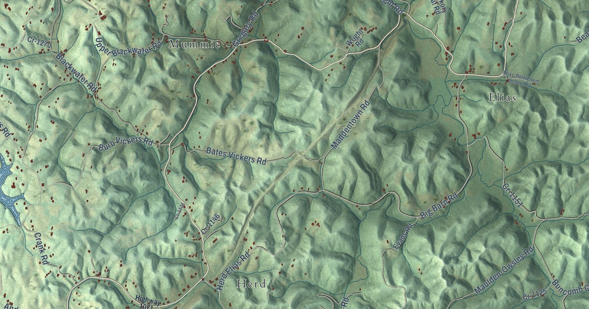
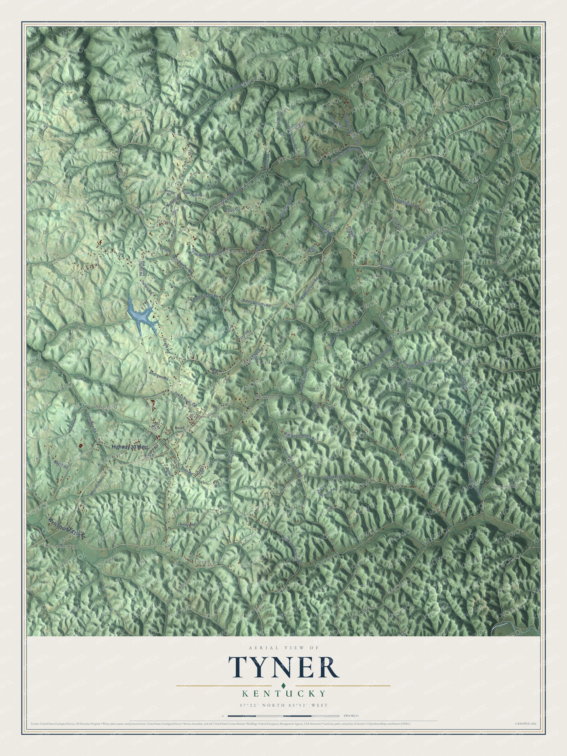
This beautifully detailed map of Tyner, Kentucky was created in 2026 using aerial imagery combined with modern topographical, census, street and landmark data. It’s a one-of-a-kind view of Tyner that combines accurate data with a vintage aesthetic. The map shows every building in its true location, many of the roads carry their names, and the shaded topographic relief shows the shape of the land.
Explore an aerial view of Tyner, Kentucky
On the map you’ll find Welchburg, Elias, Maulden, Mildred, Privett, Sourwood, Egypt, Zekes Point, Mummie, and Herd, along with Highway 30 West, Welchburg Egypt Road, and more. If you look closely you can even find your house accurately drawn in its correct location. Zoom in on the preview to look for yours.
Did You Know?
From Internet Archive: "SWAIN, Russellville, fought at Shiloh, Vicksburg, Baton Rouge, Stone River, Jackson, Chickamauga, and Mission Ridge; was captured at Tyner's Station, Nov. 26, 1863, and did not return in time to participate in the closing engagements."
Tyner is a community in Jackson County.
Take a closer look at the Tyner map
Names on this map
These names are printed on this map.
Places: Welchburg, Elias, Maulden, Mildred, Privett, Sourwood, Egypt, Zekes Point, Mummie and Herd.
Streets and roads: Highway 30 West, Welchburg Egypt Road, Peters Road, State Road 1071, Sturgeon Road, Buncomb Road, Pink House Road, Bingham Wilson Road, Leger Fork Road, Big Barn Road, Herd Elias Road, Maulden Branch Road.
More street names, A to Z
Andrew Road, Andrews Road, Bales Drive, Bates Vickers Road, Beals Creek Road, Blackwater Road, Blair Road, Brown Road, Buncomb Creek Road, Burb Vickers Road, Burvis Road, Carter Lane, Cartwright Road, Cedar Point, Cr-1031, Cr-1050, Cr-1085, Cr-1098, Cr-1125, Cr-1131, Cr-1146, Cr-1151, Cr-1163, Cr-1176, Cr-1234, Cr-1270, Crank Road, Creech Road, Dunnigan Road, Elias-Bethlehem School Road, Evans Road, Green Hall Post Office Road, Gregory Road, Hickory Flat Road, Hicks Lane, Highway 1071, Hiram Smith Road, Hog Camp Branch Road, Hollin Road, Huff School Road, Junior York Road, Maddentown Road, Mae Gumm Road, Maulden-Owsley Road, Merida Smith Road, Moores Road, Mullins Road, Nantz Road, Oak Grove Church Road, Old Island City Road, Pierson Fork Road, Privett Road, Ray & Pearl Wilson Road, Ridnour Road, Rocky Branch Road, Soaptown Road, Spivey Road, Travis Creek Road, Travis School Road, Union Church Road, Upper Blackwater Road, Wagers Lane, Wilson Cemetery Road, Wright Road, Zekes Point Road.
See it on a wall
The Tyner map as a framed print. Swipe for more.


This beautifully detailed map of Tyner makes an attractive addition to your office, library, or den, and it can even be used to teach children the geography and history of the area. It also makes a great gift for anyone with Tyner roots. When you’re done exploring, click here to get your copy of the Tyner map.