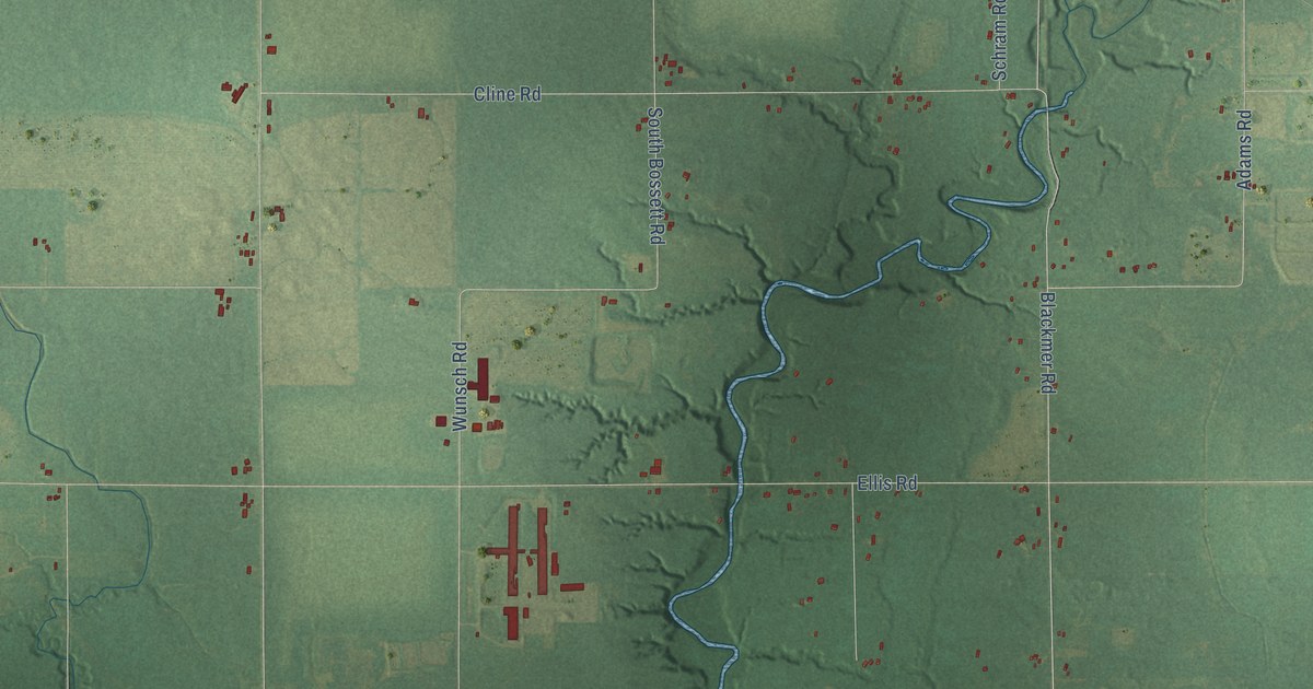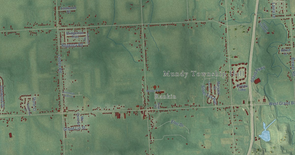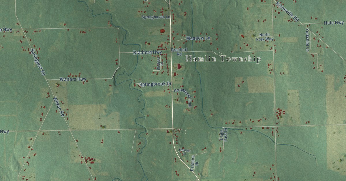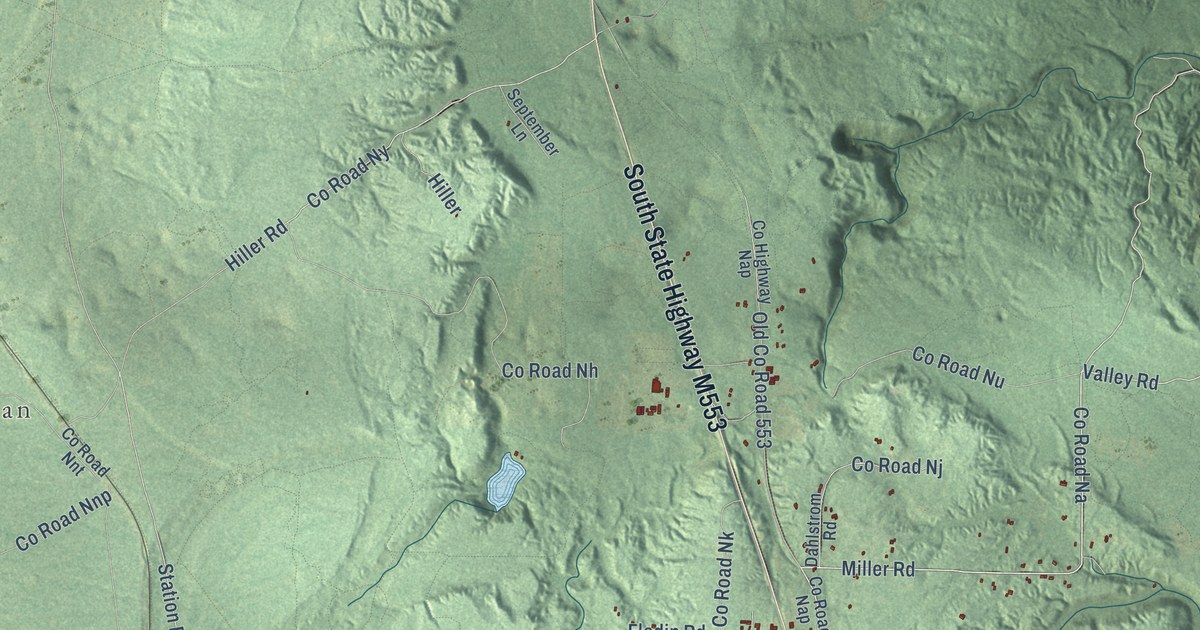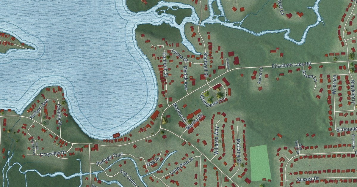
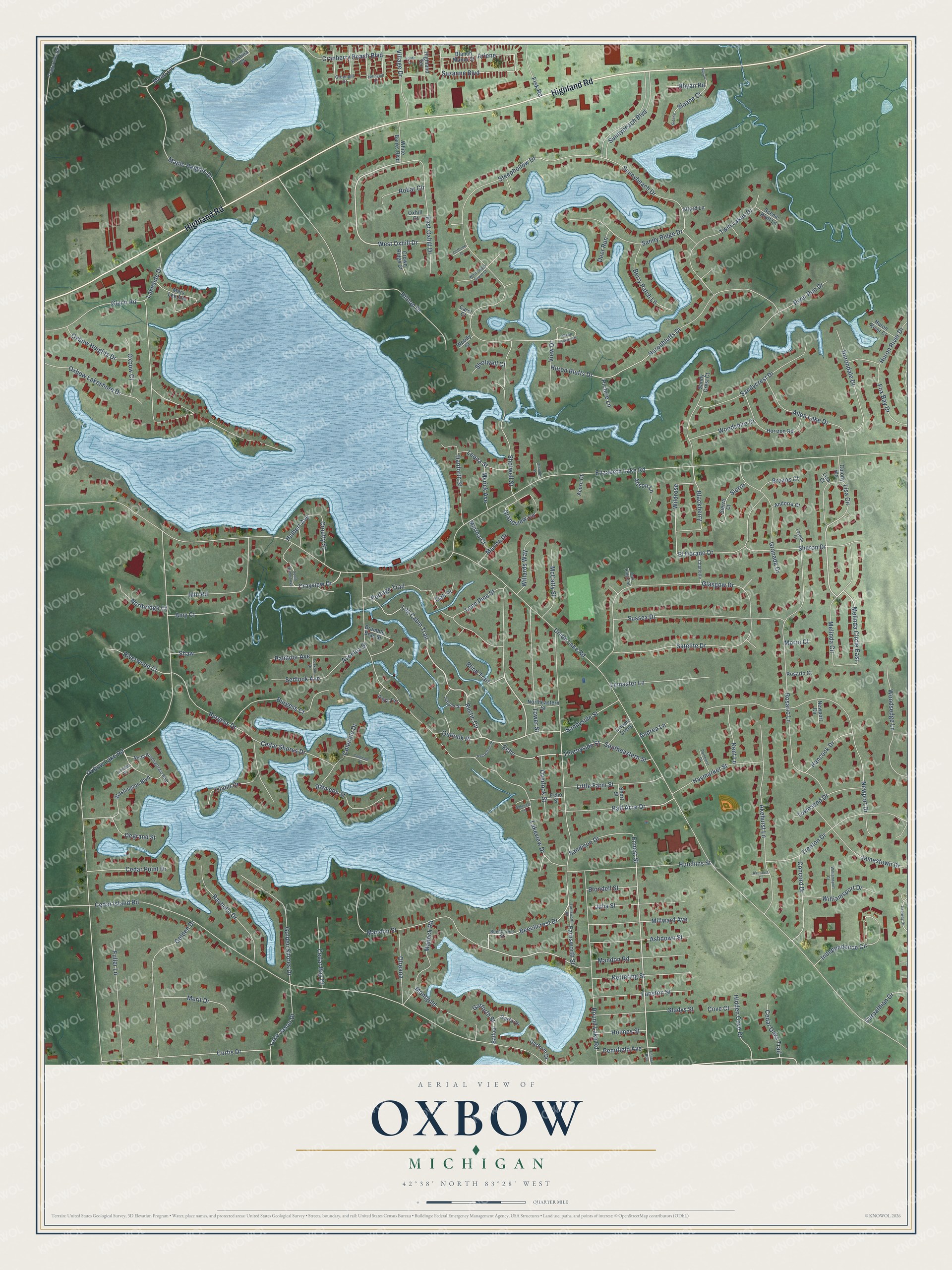
This beautifully detailed map of Oxbow, Michigan was created in 2026 using aerial imagery combined with modern topographical, census, street and landmark data. It’s a one-of-a-kind view of Oxbow that combines accurate data with a vintage aesthetic. The map shows every building in its true location, many of the roads carry their names, and the shaded topographic relief shows the shape of the land.
Explore an aerial view of Oxbow, Michigan
On the map you’ll find Highland Road, Oxbow Lake Road, Rustic Circle, Lisa Circle, Log Cabin Trail, West Oxhill Drive, Melinda Circle East, Mead Lane, Lakeside Drive, Ennest Street, Cedar Island Road, Thornyside Street, and more. If you look closely you can even find your house accurately drawn in its correct location. Zoom in on the preview to look for yours.
Did You Know?
From Internet Archive: "The first settler at Oxbow was Erastus Hopkins, who came, in 1833, from Prattsburg, Steuben county, New York."
Oxbow is a community in Oakland County.
Take a closer look at the Oxbow map
Names on this map
These names are printed on this map.
Streets and roads: Highland Road, Oxbow Lake Road, Rustic Circle, Lisa Circle, Log Cabin Trail, West Oxhill Drive, Melinda Circle East, Mead Lane, Lakeside Drive, Ennest Street, Cedar Island Road, Thornyside Street.
More street names, A to Z
Acorn Court, Akehurst Court, Akehurst Lane, Alison Lane, Allen Lake Drive, Amy Court, Andorra Court, Andrea Lane, Arlene, Ashdown Street, Attard Lane, Avonlea Street, Balfour, Beechcrest Drive, Beechcrest Street, Berry Patch Lane, Blackberry, Blanch Manor Street, Blind Trail, Blondell Street, Bramble Brae Street, Brazos Court, Burgess Court, Burgess Drive, Carol Court, Carpathian Drive, Cedar Bay Court, Cedar Oaks Trail, Cedar Point Drive, Cedar Shores Drive, Charlotte, Cliffside Court, Coledale Court, Coledale Drive, Colony Heights, Concord Drive, Cove Court, Cranberry Beach Boulevard, Crayview Drive, Cripple Creek, Croutty Street, Crown Ridge Court, Curtis Drive, Danforth Street, Deer Run, Degrand Street, East Oxhill Drive, Eastway Drive, Echo, Echo Street, El Dorado Drive, Elizabeth Lake Road, Ennest Boulevard, Farnsworth Road, Farnsworth Street, Fisk Road, Fox Bay Drive, Fuller Lane, Funston Street, Garforth, Garforth Drive, Garforth Street, Gladys Street, Glandon Street, Glasgow Drive, Glynn Road, Golden Drive, Golden Shores Drive, Granada Drive, Grandview Circle, Greenhill Drive, Half Acre Drive, Hancock Drive, Haymarket Street, Hidden Cove Drive, Highland Terrace, Hilltop Drive, Holmes Street, Horizon Road, Hulbert Avenue, Huron Bluffs Drive, Huronbluffs Drive, Hurondale Drive, Huron River Court, Huron River Drive, Hutchins Street, Independence Circle, Island Drive, Jamestown Drive, Julia Street, Juniper Street, Kent Lane, Kettering Street, Kristina Court, Lake Jason Drive, Lakeview Drive, Laredo Court, Lemaster Lane, Leona Street, Lincoln Street, Lisa Court, Little Farm Street, Lone Pine Street, Lookout Drive, Mallock Road, Mandon Road, Mandon Street, Maple Heights Drive, Marina Court, Marina Drive, Mary Lee Avenue, McCatty Street, Melinda Circle, Merit Drive, Mill Road, Millward Avenue, Montgold, Morro Court, Myrick Avenue, Newport Circle, Newport Drive, Northeastern Street, North Ponchartrain Boulevard, Northridge Court, Oakcrest Lane, Oak Place, Oak Ridge Street, Olreana, Outlook Place, Overlook Street, Oxbow Court, Oxbow Heights Drive, Oxbow Lakeshore Drive, Oxhill Court, Palmoor Avenue, Parkhurst Drive, Pennfield Avenue, Picture Lane, Portage Trail, Rachelle Drive, Ranveen Street, Recreation Place, Rhyan, Rhyan Road, River Run Drive, Riverwood Court, Robar Circle, Rosario Court, Rosario Lane, Round Lake Road, Sandison Drive, Sandy Crest Court, Sandycrest Drive, Sandy Ridge Drive, Sandyside Street, Satelite Drive, Scenic Bluff Lane, Sedlock Avenue, Sharon Drive, Shaw, Short Street, Shotwell Court, Shotwell Street, Sierra, Sierra Court, Sloane, Sloane Court, Southeastern Street, South Hulbert Avenue, South Terrace, Springhill Drive, Steephollow Drive, Steep Hollow Drive, Sunnybeach Boulevard, Sunnybeach Drive, Sussex Drive, Suzanne Boulevard, Teggerdine Road, Tower Street, Townsend Drive, Trenton Drive, Twin Lakes Drive, Union Lake Road, View Drive, Village Drive, Vista Terrace, Washington Boulevard, West Shady Grove Court, White Banks Boulevard, Wildrose, Willards Way, Williamsport Court, Williamsport Drive, Woodsedge Lane, Woodshire Drive, Woody Court.
See it on a wall
The Oxbow map as a framed print. Swipe for more.


This beautifully detailed map of Oxbow makes an attractive addition to your office, library, or den, and it can even be used to teach children the geography and history of the area. It also makes a great gift for anyone who grew up in Oxbow or moved away. When you’re done exploring, click here to get your copy of the Oxbow map.