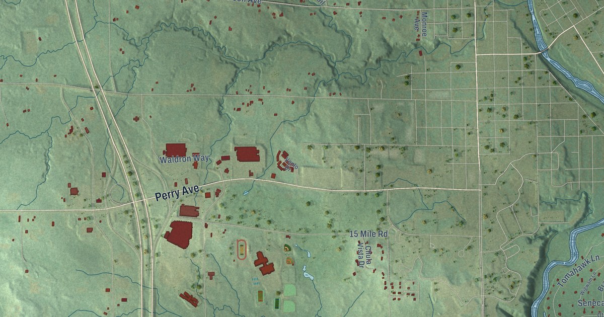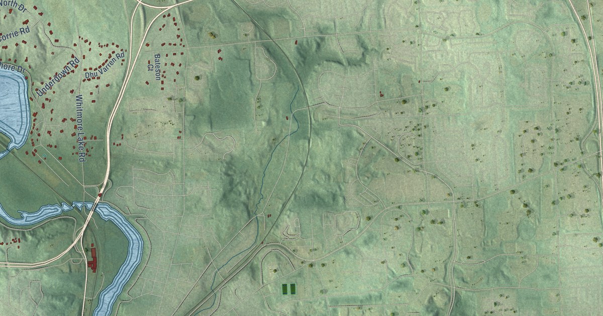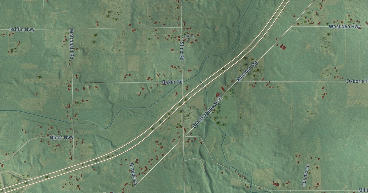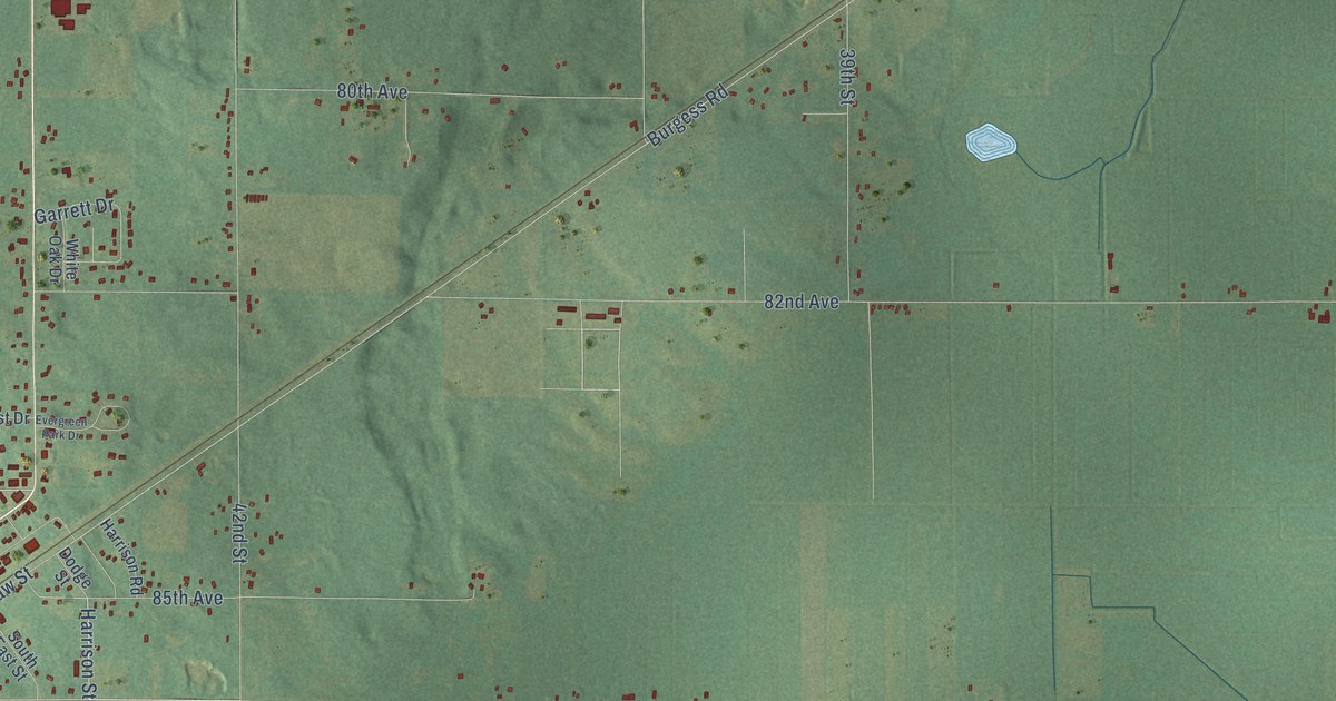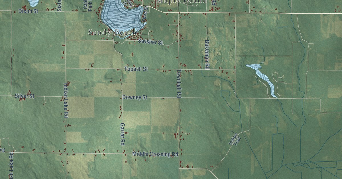
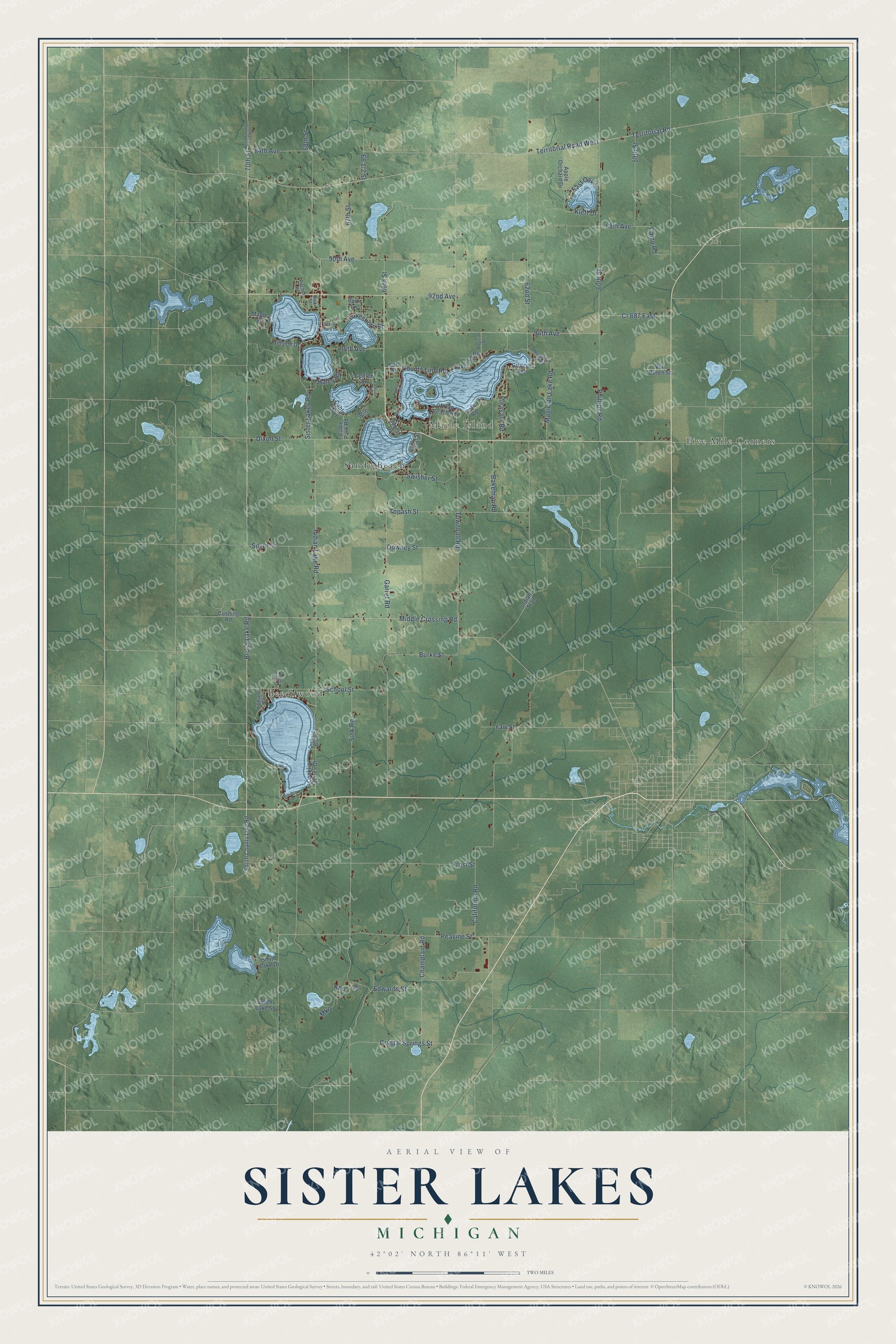
This beautifully detailed map of Sister Lakes, Michigan was created in 2026 using aerial imagery combined with modern topographical, census, street and landmark data. It’s a one-of-a-kind view of Sister Lakes that combines accurate data with a vintage aesthetic. The map shows every building in its true location, many of the roads carry their names, and the shaded topographic relief shows the shape of the land.
Explore an aerial view of Sister Lakes, Michigan
On the map you’ll find Maple Island, Beechwood, Five Mile Corners, and Sandy Beach, along with Middle Crossing Road, Brush Lake Road, County Line Road, Indian Lake Road, 70th Street, 94th Avenue, Sister Lakes Road, Garret Road, and more. If you look closely you can even find your house accurately drawn in its correct location. Zoom in on the preview to look for yours.
Did You Know?
From Internet Archive: "One winter he cleared one hundred and fourteen acres of heavy timber at Sister Lakes fifteen miles from Benton Harbor."
Sister Lakes is a community in Van Buren County.
Take a closer look at the Sister Lakes map
Names on this map
These names are printed on this map.
Places: Maple Island, Beechwood, Five Mile Corners and Sandy Beach.
Streets and roads: Middle Crossing Road, Brush Lake Road, County Line Road, Indian Lake Road, 70th Street, 94th Avenue, Sister Lakes Road, Garret Road, Sink Road, Territorial Road, Territorial Road West, 60th Street.
More street names, A to Z
59th Street, 62nd Street, 66th Street, 67th Street, 68th Street, 84th Avenue, 88th Avenue, 90th Avenue, 92nd Avenue, 95th Avenue, Apple Orchard Drive, Bakeman Road, Burke Street, Cable Park Road, Cable Parkway, California Road, Camp Road, Center Street, Champlain Road, Conklin Shores Drive, Cr 687 East, Crystal Springs Street, Curran Beach Road, Cushing Road, Dixon Street, Downey Street, East Oak Street, Eastside Drive, Edwards Street, Fitch Road, Frost Street, Gigo, Gilmore Avenue, Haley Road, Highland Drive, Hillside Drive, Indian Trail, Inn-D-Inn Drive, Jones Drive, Karl Street, Klett Drive, Kno, Lakeshore Drive, Lakeview Road, Magician Drive, Magician Lake Road, Magician Lk Road, Maple Street, Mko, North County Line Road, Orchard Bluff, Park Lane, Peavine Street, Phillips Road, Pitcher Drive, Pleasant Road, Polk Road, Ricki Street, River Birch Drive, School Street, Silver Street, Smith Lake Drive, Smith Lake Street, South County Line Road, Swisher Street, Third Street, Topash Street, Townhall Road, Van Buren Street, Victory Shore Drive, West Lakeshore Drive, Yaw Street.
See it on a wall
The Sister Lakes map as a framed print. Swipe for more.


This beautifully detailed map of Sister Lakes makes an attractive addition to your office, library, or den, and it can even be used to teach children the geography and history of the area. It also makes a great gift for anyone who grew up in Sister Lakes or moved away. When you’re done exploring, click here to get your copy of the Sister Lakes map.