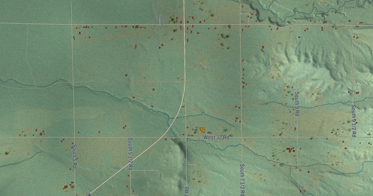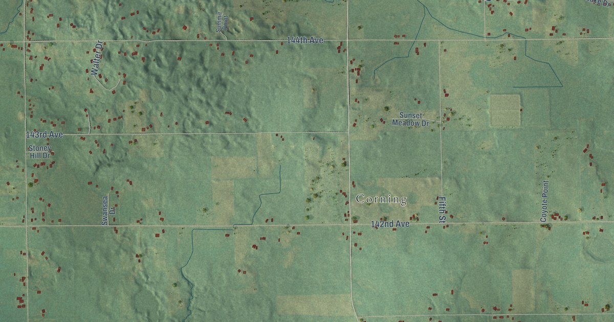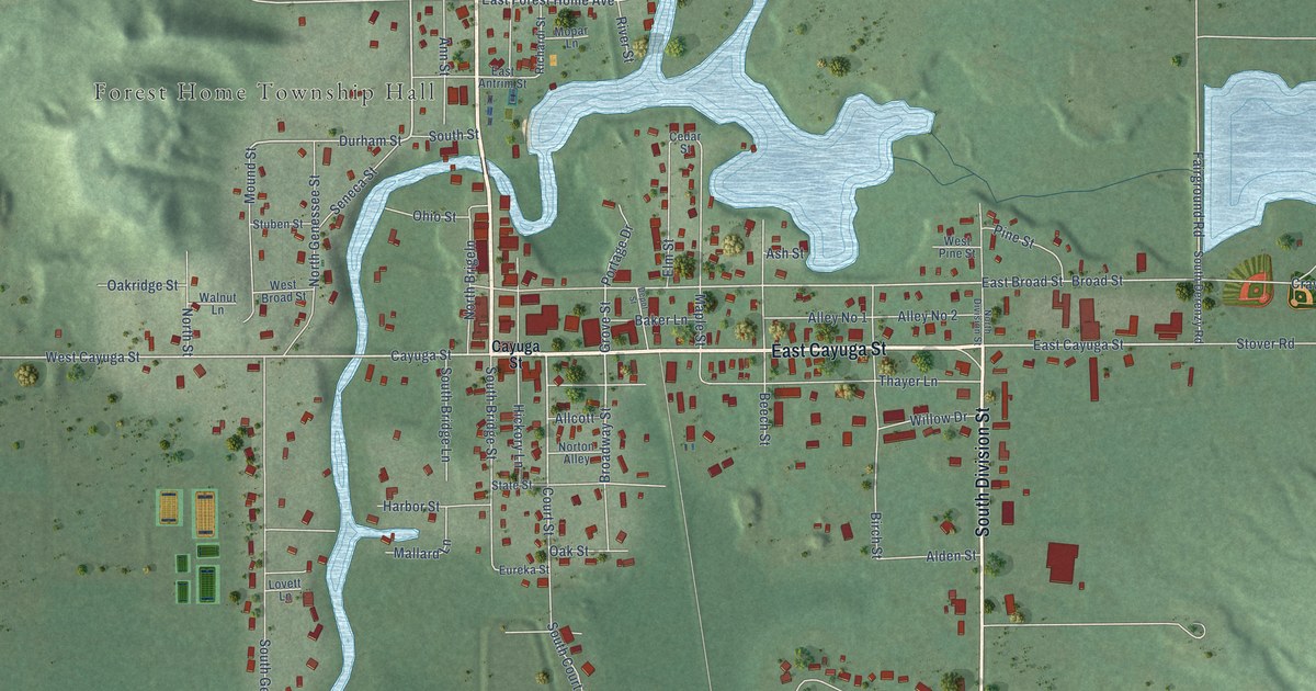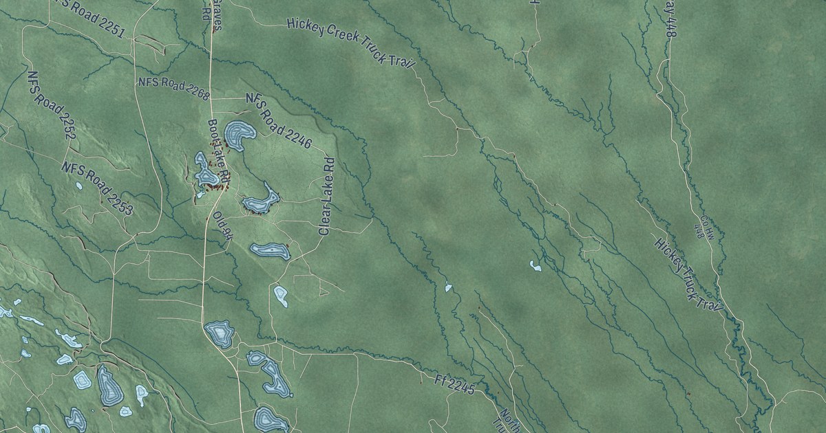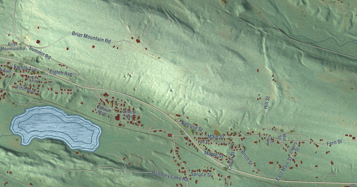
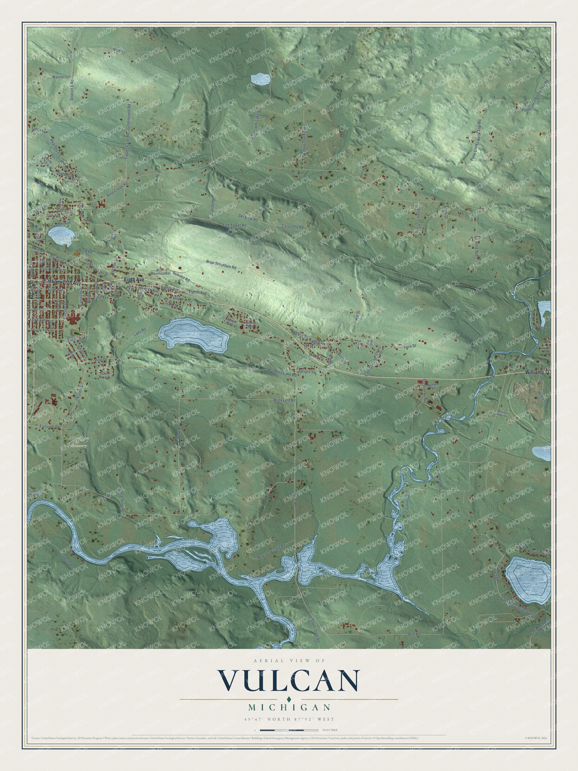
This beautifully detailed map of Vulcan, Michigan was created in 2026 using aerial imagery combined with modern topographical, census, street and landmark data. It’s a one-of-a-kind view of Vulcan that combines accurate data with a vintage aesthetic. The map shows every building in its true location, many of the roads carry their names, and the shaded topographic relief shows the shape of the land.
Explore an aerial view of Vulcan, Michigan
On the map you’ll find Norway Cemetery and Strawberry Lake Park, along with East Seventh Avenue, Eigth Avenue, Williams Street, Brown Street, Seventh Avenue, Lake Road, Hillcrest Drive, Forest Drive, Hill Street, Stadium Road, and more. If you look closely you can even find your house accurately drawn in its correct location. Zoom in on the preview to look for yours.
Did You Know?
From Internet Archive: "In 1882 Mr, CroU entered the employ of the Northwestern Railroad Company as baggage master at Vulcan, and in 1885 was made station agent at Waueedah, retaining the position six years."
Vulcan is a community in Dickinson County.
Take a closer look at the Vulcan map
Names on this map
These names are printed on this map.
Places: Norway Cemetery and Strawberry Lake Park.
Streets and roads: East Seventh Avenue, Eigth Avenue, Williams Street, Brown Street, Seventh Avenue, Lake Road, Hillcrest Drive, Forest Drive, Hill Street, Stadium Road, Main Street, Summit Road.
More street names, A to Z
14th Avenue, 15th Avenue, 16th Avenue, Ash Street, Ball Road, Belrose Street, Birch Street, Briar Mountain Road, Brickyard Road, Brier Mountain Road, Carazolla Road, Casmere Road, Casmiers Road, Cedar Street, Central Avenue, Central Boulevard, Cherry Street, Chestnut Street, Circle Drive, Curry Road, District 5 Road, East Main Street, East Ninth Avenue, Eighth Avenue, Eleventh Avenue, Elm Street, Fairview Drive, Fern Street, Fifth Avenue, Fire Tower Road, First Street, Fourth Avenue, Groeneveld Road, Hacey Street, Hamilton Lakes Road 573, Hanbury Lake Road, Henry Street, Ingalls Road, Iron Street, Jansen Street, Keweenaw Street, Lahaie Drive, Lake Mary Drive North, Lake Mary Drive South, Lake Mary Drive West, Larson Lane, Long View Road, Maple Street, Meadow Valley Drive, Mill Street, Mine Street, Mooses Road, Morgan Street, Myner's Drive, New York Lake Road, Norway Street, Norway Truck Trail, Oak Street, Palm Cooks Rock Top Road, Palmcooks Rocky Top Road, Payette Road, Pearney Lane, Pecks Alley, Pine Creek Lake Road, Pine Creek Road, Pine Drive, Pine Street, Power Dam Road, Railroad Avenue, Ranch Road, Ridge Street, River Avenue, River Meadows Lane, River Road, Rochon Lane, Second Avenue, Section Street, Sixth Avenue, Ski View Road, South Circle Drive, Spruce Street, Stone Cliff Drive, Strawberry Lake Drive, Sturgeon Mill Road, Summit Drive, Swede Lane, Tenth Avenue, Third Avenue, Third Street, Treves Farm Road, Twelfth Avenue, Unnamed Gravel Road, Vigo Lane, Viking Lane, Walnut Street, Warner Lane, WPA Road.
See it on a wall
The Vulcan map as a framed print. Swipe for more.


This beautifully detailed map of Vulcan makes an attractive addition to your office, library, or den, and it can even be used to teach children the geography and history of the area. It also makes a great gift for anyone with Vulcan roots. When you’re done exploring, click here to get your copy of the Vulcan map.