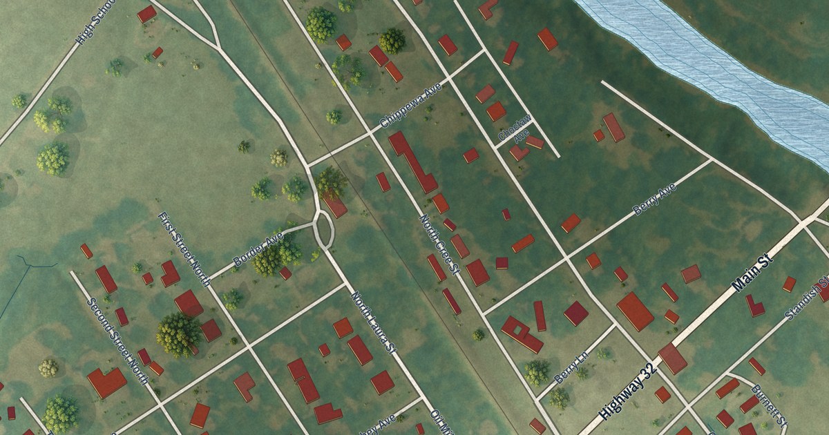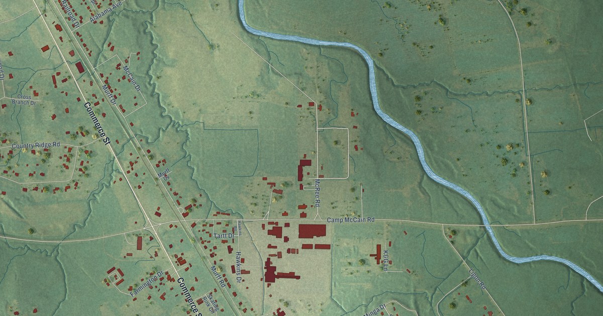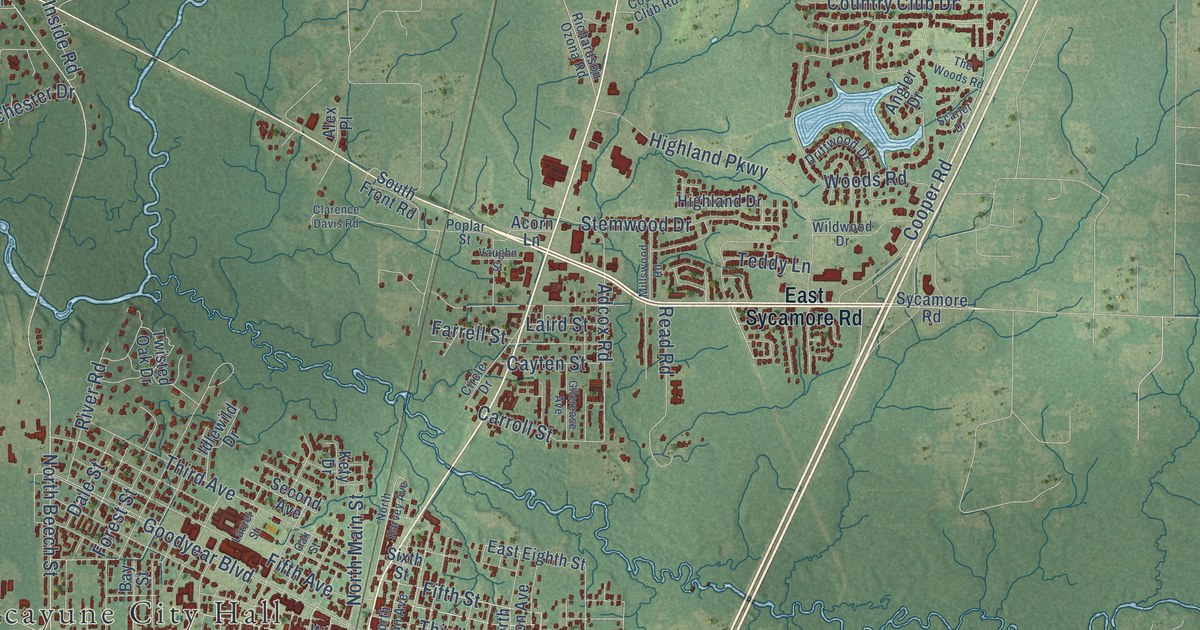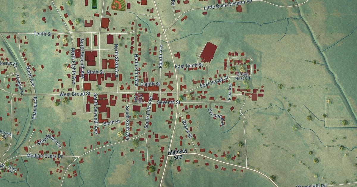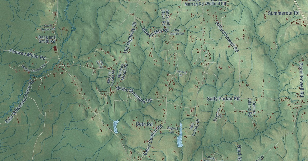
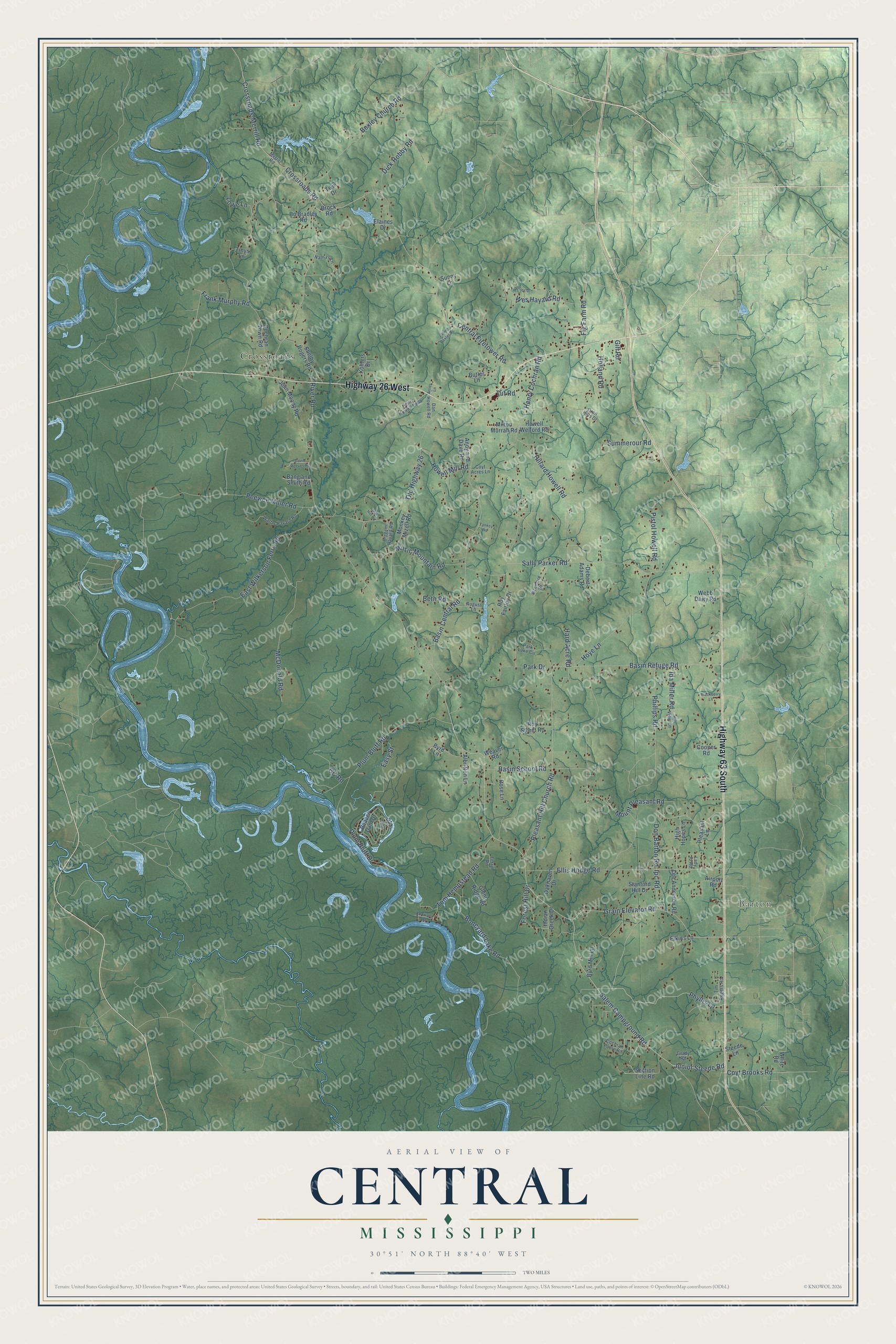
This beautifully detailed map of Central, Mississippi was created in 2026 using aerial imagery combined with modern topographical, census, street and landmark data. It’s a one-of-a-kind view of Central that combines accurate data with a vintage aesthetic. The map shows every building in its true location, many of the roads carry their names, and the shaded topographic relief shows the shape of the land.
Explore an aerial view of Central, Mississippi
On the map you’ll find Barton and Crossroads, along with Highway 26 West, Highway 63 South, Salem Campground Road, Phyllis Lane, Junior Steede Road, River Road, Central Firetower Road, Grain Elevator Road, East Wilkerson Ferry Road, Basin Central Road, and more. If you look closely you can even find your house accurately drawn in its correct location. Zoom in on the preview to look for yours.
Did You Know?
From Internet Archive: "Thayer's Alcohol Factory and Comstook &, Oo 's Iron Foundry are seen on the right: the Central Mill and Grain Depot on the left; between these two points is a range of limestone quarries."
Central is a community in George County.
Take a closer look at the Central map
Names on this map
These names are printed on this map.
Places: Barton and Crossroads.
Streets and roads: Highway 26 West, Highway 63 South, Salem Campground Road, Phyllis Lane, Junior Steede Road, River Road, Central Firetower Road, Grain Elevator Road, East Wilkerson Ferry Road, Basin Central Road, Basin Refuge Road, Sally Parker Road.
More street names, A to Z
Airport Road, Albritton Lane, Alfred Baxter Road, Andy and Dave Road, Arlies Lane, August Lane, Bang and Smith Road, Basin School Road, Beaver Dam Drive, Beth Road, Bexley Church Road, Biggem Havard Road, Blackberry Lane, Bo Bradley Road, Boneyard Lake Road, Brock Road, Butler Lane, Byrd Lane, Byrd Mill Lane, CC Road, Cochran Poole Road, Cochran Town Road, Cooper Road, Coyt Acres Lane, Coyt Brooks Road, Crossroads-Merrill Road, Crossroads Road, Dan Howell Road, David Reeves Road, Debert Adams Road, Deer Lane, Dick Hobby Road, Don Barton Road, Easy Street, Ed Evans Road, Elaines Drive, Elkins Lane, Ellis Hodge Road, Ferrill Road, Fig Farm Road, Forest Hill Drive, Frank Murphy Road, Gill Road, Glenn Ridge Road, Grady Road, Hard Acre Road, Henry Cochran Road, Henry Howell Loop, High Hopes Lane, Hillard Howell Road, Hill View Lane, Holland Road, Howell Mill Road, Howell Welford Road, Hoye Lane, Ida Miller Road, Indian Creek Drive, Ipc Road, John Moody Road, Kohlers Drive, Lady Jo Road, Lee Anderson Road, Lowe Lane, McDonald Road, Merrill Road, Milton Murrah Road, Monkey Mizell Road, Mount Pleasant Road, Music Mountain Road, Nancys Lane, Oakhaven Drive, Oak Hill Road, Old Highway 26, Oren Hills Drive, Park Drive, Park Lake Circle, Peewee Miller Road, Phillips Road, Pistol Howell Road, Pleasant Hill Church Road, Pleasant Lane, Plum Bluff Drive, Plum Bluff Road, Ronnies Drive, Rose Lane, Roy Fairley Drive, Roy Street Road, Section Line Road, Shelby Rogers Road, Sizemore Drive, Stanford Hill Drive, Steede Lane, Summerour Road, Sunny Lane, Tim Rogers Road, Tinys Lane, Tom Hempstead Road, Tut Road, Twin Drive, Walter Havard Road, Weaver Road, Webb Dairy Road, Wes Havard Road, White Road, Yankey Road.
See it on a wall
The Central map as a framed print. Swipe for more.


This beautifully detailed map of Central makes an attractive addition to your office, library, or den, and it can even be used to teach children the geography and history of the area. It also makes a great gift for someone who left Central and still calls it home. When you’re done exploring, click here to get your copy of the Central map.